Low Moor Plantation

Wood, Forest in Lincolnshire North Kesteven

England

Low Moor Plantation

Windmill Farm pub-restaurant, North Hykeham This is a Greene King Farmhouse Inns pub in a modern business park. There was neither a windmill nor a farm here! Taken from the third floor of the Ibis Hotel.
Windmill Farm pub-restaurant, North Hykeham Credit: Humphrey Bolton

Low Moor Plantation is a picturesque woodland located in Lincolnshire, England. Covering an area of approximately 100 acres, this plantation is known for its diverse range of trees and its tranquil atmosphere. It is situated in the heart of the Lincolnshire countryside, surrounded by rolling hills and charming villages.

The woodland is primarily made up of native tree species such as oak, birch, and beech, creating a rich and vibrant ecosystem. These trees provide a habitat for a variety of wildlife, including birds, squirrels, and deer. Walking through the plantation, visitors can enjoy the peaceful sounds of nature and the refreshing scent of the woodland.

Low Moor Plantation offers a range of amenities for visitors to enjoy. There are well-maintained walking trails that crisscross through the woodland, allowing visitors to explore the plantation at their own pace. These trails are suitable for all levels of fitness and provide opportunities for both leisurely strolls and more challenging hikes.

In addition to its natural beauty, Low Moor Plantation also has picnic areas and benches scattered throughout the woodland, providing the perfect spot for a relaxing outdoor lunch or a quiet moment of reflection. The plantation is open to the public year-round and is a popular destination for nature enthusiasts, families, and dog walkers.

Overall, Low Moor Plantation is a hidden gem in Lincolnshire, offering a peaceful retreat from the hustle and bustle of everyday life. With its stunning scenery, diverse wildlife, and well-maintained trails, it is a must-visit location for anyone looking to connect with nature and enjoy the beauty of the English countryside.

If you have any feedback on the listing, please let us know in the comments section below.

Low Moor Plantation Images

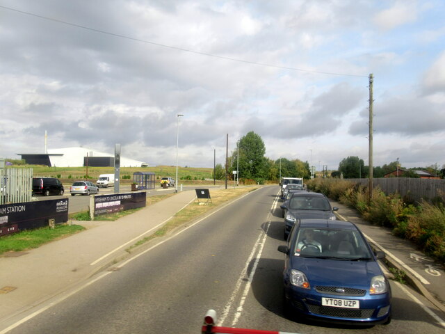
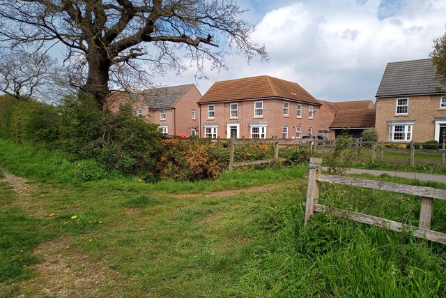
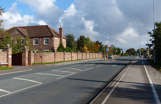
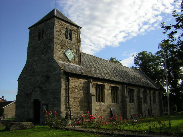
Images are sourced within 2km of 53.187726/-0.619022 or Grid Reference SK9266. Thanks to Geograph Open Source API. All images are credited.

Windmill Farm pub-restaurant, North Hykeham This is a Greene King Farmhouse Inns pub in a modern business park. There was neither a windmill nor a farm here! Taken from the third floor of the Ibis Hotel.
Windmill Farm pub-restaurant, North Hykeham
This is a Greene King Farmhouse Inns pub in a modern business park. There was neither a windmill nor a farm here! Taken from the third floor of the Ibis Hotel.
Station Road level crossing Hykeham
Footpath along the edge of a garden, Thorpe on the Hill This looks to be a former field path that has not been properly diverted and enclosed when houses were built on the land. I suspect that nobody uses it now.
Footpath along the edge of a garden, Thorpe on the Hill
This looks to be a former field path that has not been properly diverted and enclosed when houses were built on the land. I suspect that nobody uses it now.
St Michael and All Angels, Thorpe on the Hill
Trees around the churchyard, Thorpe on the Hill
Energy plant, Whisby Road, Lincoln An energy from waste plant operated by FCC Environment and Lincolnshire County Council.
Since this photo the area in the foreground has been taken over by a car showroom.
Energy plant, Whisby Road, Lincoln
An energy from waste plant operated by FCC Environment and Lincolnshire County Council. Since this photo the area in the foreground has been taken over by a car showroom.
Teal Park Road, Lincoln The early days of a business park.
Teal Park Road, Lincoln
The early days of a business park.
Footpath near Caspian Court, North Hykeham Two public footpaths link over a small catchwater drain looking northwestwards towards Caspian Court, a road which lies on the southern edge of one of North Hykeham's more affluent housing estates.

This photograph was taken on a warm and still Saturday morning in late April.  Apart from the odd dog walker both paths were completely deserted, with many of the residents instead taking to the open green spaces on the estate. Left undisturbed, the twittering birds and buzzing insects easily drowned out the distant hum of traffic from Mill Lane to the southeast.

The unpaved route on the left continues for some 200 metres before terminating at a gated field. The paved path (right) stretches for more than a kilometre and provides a direct pedestrian link from Mill Lane to Newark Road, approximately 900 metres to the northwest.
Footpath near Caspian Court, North Hykeham
Two public footpaths link over a small catchwater drain looking northwestwards towards Caspian Court, a road which lies on the southern edge of one of North Hykeham's more affluent housing estates. This photograph was taken on a warm and still Saturday morning in late April. Apart from the odd dog walker both paths were completely deserted, with many of the residents instead taking to the open green spaces on the estate. Left undisturbed, the twittering birds and buzzing insects easily drowned out the distant hum of traffic from Mill Lane to the southeast. The unpaved route on the left continues for some 200 metres before terminating at a gated field. The paved path (right) stretches for more than a kilometre and provides a direct pedestrian link from Mill Lane to Newark Road, approximately 900 metres to the northwest.
Lake shore at Millennium Green, North Hykeham A small group of mallards, canada geese, and swans swim close to the eastern shore of the lake at North Hykeham's Millennium Green reserve, looking northwestwards towards the northern shore.

This photograph was taken on a warm and breezy morning in late May. Sited on a former quarry, the Millennium Green reserve was created in 2000 as part of a nationwide project to develop green spaces in commemoration of the new millennium. A path approximately 1.6 kilometres long encircles the lake and provides a number of viewing spots across the water. 

Despite being bounded on three sides by housing estates there were very few people here on this pleasant weekend morning, probably because the reserve permits few recreational opportunities beyond walking. The lack of human activity however benefits the local wildlife, and the reserve successfully supports a wide range of birds, insects, trees, and flowers.
Lake shore at Millennium Green, North Hykeham
A small group of mallards, canada geese, and swans swim close to the eastern shore of the lake at North Hykeham's Millennium Green reserve, looking northwestwards towards the northern shore. This photograph was taken on a warm and breezy morning in late May. Sited on a former quarry, the Millennium Green reserve was created in 2000 as part of a nationwide project to develop green spaces in commemoration of the new millennium. A path approximately 1.6 kilometres long encircles the lake and provides a number of viewing spots across the water. Despite being bounded on three sides by housing estates there were very few people here on this pleasant weekend morning, probably because the reserve permits few recreational opportunities beyond walking. The lack of human activity however benefits the local wildlife, and the reserve successfully supports a wide range of birds, insects, trees, and flowers.
Carparking at Whisby Garden Centre A field to the west of the garden centre, used as overflow parking for the business.
Carparking at Whisby Garden Centre
A field to the west of the garden centre, used as overflow parking for the business.
Former gravel pit workings Now incorporated into the landscaping around the garden centre at Whisby, this pool is a flooded  former gravel pit.
Former gravel pit workings
Now incorporated into the landscaping around the garden centre at Whisby, this pool is a flooded former gravel pit.
Field of grass east of Whisby Moor Farm
Footpath leading to South Hykeham, North Hykeham A public footpath linking South Hykeham to the A46 just southwest of North Hykeham and the Lincoln bypass cuts through a wheat field, looking eastwards from the A46 towards Danker Wood.

This photograph was taken on a warm and breezy morning in mid-August. An unpaved path between a dual carriageway and a small industrial estate on the outskirts of a village is never going to be busy even on a Saturday morning, and the large weeds marking the way that one must trample over are a testament to the lack of footfall this route receives.

Danker Wood in the distance is probably the remnants of an ancient woodland. This bumpy and unkempt path does not go there and instead curves southwards to follow the electricity pylons over a small catchwater drain and through an uncultivated field, ending less than a kilometre away on a dirt track by a small collection of warehouses. Not a route for the sightseers.

For a view from the other end of the path see <a href="https://www.geograph.org.uk/photo/7571170">SK9264 : Uncultivated field near Danker Wood, South Hykeham</a>.
Footpath leading to South Hykeham, North Hykeham
A public footpath linking South Hykeham to the A46 just southwest of North Hykeham and the Lincoln bypass cuts through a wheat field, looking eastwards from the A46 towards Danker Wood. This photograph was taken on a warm and breezy morning in mid-August. An unpaved path between a dual carriageway and a small industrial estate on the outskirts of a village is never going to be busy even on a Saturday morning, and the large weeds marking the way that one must trample over are a testament to the lack of footfall this route receives. Danker Wood in the distance is probably the remnants of an ancient woodland. This bumpy and unkempt path does not go there and instead curves southwards to follow the electricity pylons over a small catchwater drain and through an uncultivated field, ending less than a kilometre away on a dirt track by a small collection of warehouses. Not a route for the sightseers. For a view from the other end of the path see SK9264 : Uncultivated field near Danker Wood, South Hykeham.
Uncultivated field near Danker Wood, South Hykeham Electricity pylons cross an unused piece of agricultural land between the town of North Hykeham and the village of South Hykeham, looking westwards towards the A46 dual carriageway just south of the Lincoln bypass.

This photograph was taken on a warm and breezy morning in mid-August. Nestled between the modest Danker Wood to the north, a small industrial estate to the east, and large wheat fields to the west and south, this seemingly forgotten (or unviable) plot of land appears to be used solely as a thoroughfare for farm machinery between warehouse and field.

For a view from the other end of the path see <a href="https://www.geograph.org.uk/photo/7565065">SK9265 : Footpath leading to South Hykeham, North Hykeham</a>.
Uncultivated field near Danker Wood, South Hykeham
Electricity pylons cross an unused piece of agricultural land between the town of North Hykeham and the village of South Hykeham, looking westwards towards the A46 dual carriageway just south of the Lincoln bypass. This photograph was taken on a warm and breezy morning in mid-August. Nestled between the modest Danker Wood to the north, a small industrial estate to the east, and large wheat fields to the west and south, this seemingly forgotten (or unviable) plot of land appears to be used solely as a thoroughfare for farm machinery between warehouse and field. For a view from the other end of the path see SK9265 : Footpath leading to South Hykeham, North Hykeham.
Footpath next to the A1434 Newark Road
A1434 Newark Road in South Hykeham Heading towards North Hykeham and Lincoln city centre.
A1434 Newark Road in South Hykeham
Heading towards North Hykeham and Lincoln city centre.
A1434 Newark Road in North Hykeham Heading towards Lincoln city centre.
A1434 Newark Road in North Hykeham
Heading towards Lincoln city centre.
Traffic lights on the A1434 Newark Road Heading towards Lincoln city centre.
Traffic lights on the A1434 Newark Road
Heading towards Lincoln city centre.
Show me another place!

Low Moor Plantation is located at Grid Ref: SK9266 (Lat: 53.187726, Lng: -0.619022)

Administrative County: Lincolnshire

District: North Kesteven

Police Authority: Lincolnshire

What 3 Words

///surviving.homework.alternate. Near Skellingthorpe, Lincolnshire

Nearby Locations

Low Moor Plantation

Related Wikis

Whisby Moor

Whisby Moor is a small moor situated close to the A46 road, west of North Hykeham, in the North Kesteven district of Lincolnshire, England. == Geography... ==

North Kesteven Academy

North Kesteven Academy is a co-educational academy school on Moor Lane, off the A1434 at North Hykeham, in North Kesteven, Lincolnshire, England. ��2...

Hykeham railway station

Hykeham railway station serves both the town of North Hykeham and Lincoln city suburbs of Birchwood and Boultham Moor in Lincolnshire, England. The station...

Thorpe on the Hill, Lincolnshire

Thorpe on the Hill is a small village and civil parish in North Kesteven, Lincolnshire, England. == Location == It is situated less than 1 mile (1.6 km...

Nearby Amenities

Located within 500m of 53.187726,-0.619022
Crow Park Farm
Historic Place: farm
Source: Bing
Lat/Long: 53.1860846/-0.6229159
The data included in this document is from www.openstreetmap.org. The data is made available under ODbL.

Have you been to Low Moor Plantation?

Leave your review of Low Moor Plantation below (or comments, questions and feedback).