Angel Coppice

Wood, Forest in Sussex Chichester

England

Angel Coppice

View NE towards Hoe Hill
View NE towards Hoe Hill Credit: Ian Cunliffe

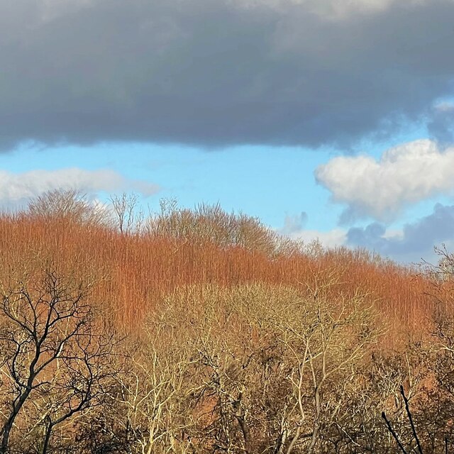
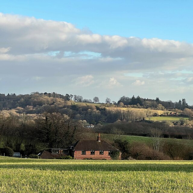
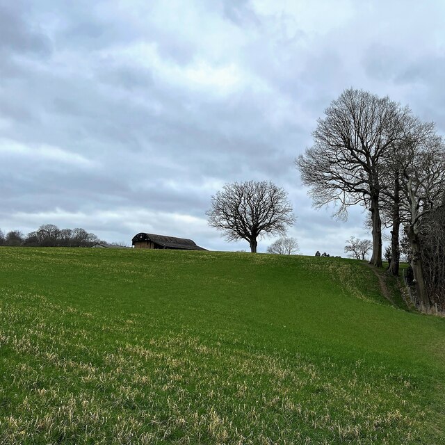
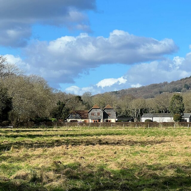
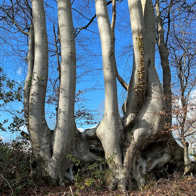
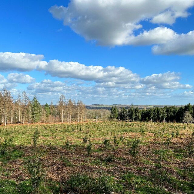
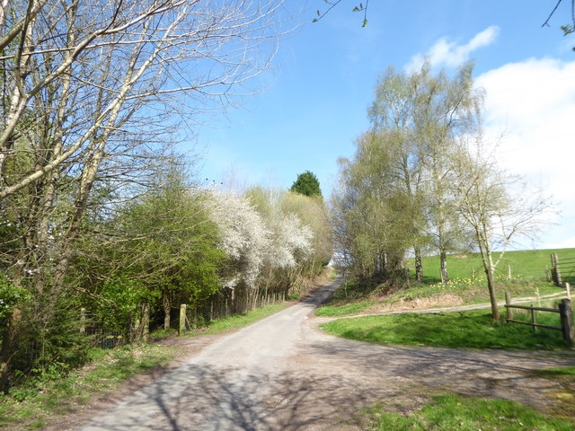
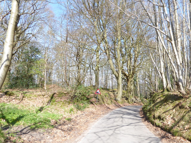
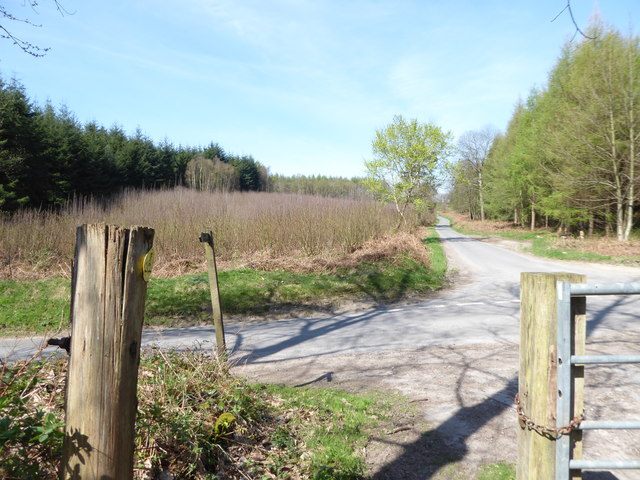
Angel Coppice is a charming woodland located in Sussex, England. Covering a vast area of land, this forest is renowned for its natural beauty and diverse ecosystem. The coppice is characterized by its dense tree cover, mainly consisting of oak, beech, and ash trees, which provide shelter to a wide range of wildlife species.

The forest floor is adorned with a lush carpet of ferns, wildflowers, and moss, creating a picturesque and enchanting atmosphere. Visitors to Angel Coppice can enjoy peaceful walks along the well-maintained trails, immersing themselves in the tranquility and serenity of nature.

The woodland is home to a rich variety of wildlife, making it a popular destination for nature enthusiasts and wildlife photographers. Birdwatchers can spot various species, including woodpeckers, owls, and warblers, while mammal enthusiasts may encounter deer, foxes, and badgers.

Angel Coppice is also of historical significance, with evidence of human activity dating back centuries. The remains of ancient settlements and tools have been discovered in the area, shedding light on the past inhabitants of the forest.

Furthermore, the woodland is managed sustainably, with conservation efforts in place to protect the delicate ecosystem. Local authorities work closely with environmental organizations to ensure the preservation of Angel Coppice for future generations to enjoy.

In summary, Angel Coppice is a captivating woodland in Sussex, offering a haven of natural beauty and wildlife diversity. Visitors can explore the forest's trails, observe the array of flora and fauna, and appreciate the historical and ecological importance of this enchanting woodland.

If you have any feedback on the listing, please let us know in the comments section below.

Angel Coppice Images

Images are sourced within 2km of 51.021067/-0.68432542 or Grid Reference SU9225. Thanks to Geograph Open Source API. All images are credited.

View NE towards Hoe Hill
View ESE towards Leggatt Hill
House at Redlands Farm
View SW towards Redlands Farm The Serpent Trail follows the edge of the wood on the right.
View SW towards Redlands Farm
The Serpent Trail follows the edge of the wood on the right.
The Lickfold Inn
The Lickfold Inn
View NNW towards Lower Gentilshurst Farm
Tree trunks and roots by Highstead Lane
View east across Knights Copse
The Lickfold Inn
The Lickfold Inn
Tree NW of Lodge Farm - view to the north
Searching southwards down the Bashire (7) Lane between Surney and Hurstfold Farms
Searching southwards down the Bashire (7)
Lane between Surney and Hurstfold Farms
Searching southwards down the Bashire (8) Between Poors Common and Bexleyhill
Searching southwards down the Bashire (8)
Between Poors Common and Bexleyhill
Searching southwards down the Bashire (9) Behind me the path from Vining Rough; to the left, road to Easebourne; right, road to Bexleyhill; and straight on, the road to Verdley Farm
Searching southwards down the Bashire (9)
Behind me the path from Vining Rough; to the left, road to Easebourne; right, road to Bexleyhill; and straight on, the road to Verdley Farm
Vining Farm The farm glimpsed from the passing bridleway.
Vining Farm
The farm glimpsed from the passing bridleway.
Track near Vining Farm Rains over the previous few days had made the tracks muddy and very slippery. This track enters a field adjacent to Vining Farm and provides a distant view of the South Downs.
Track near Vining Farm
Rains over the previous few days had made the tracks muddy and very slippery. This track enters a field adjacent to Vining Farm and provides a distant view of the South Downs.
Early morning near Vining Farm Fields near to Vining Farm lit by a wintery sun.
Early morning near Vining Farm
Fields near to Vining Farm lit by a wintery sun.
Vining Farm The farm viewed from the passing bridleway.
Vining Farm
The farm viewed from the passing bridleway.
Isolated Seat This seat at a junction of tracks near Vining Farm provides views back towards Lodsworth. The view north is spoilt by the pylon and overhead cables.
Isolated Seat
This seat at a junction of tracks near Vining Farm provides views back towards Lodsworth. The view north is spoilt by the pylon and overhead cables.
Show me another place!

Angel Coppice is located at Grid Ref: SU9225 (Lat: 51.021067, Lng: -0.68432542)

Administrative County: West Sussex

District: Chichester

Police Authority: Sussex

What 3 Words

///shopper.vision.aced. Near Fernhurst, West Sussex

Related Wikis

Midhurst transmitting station

The Midhurst transmitting station is a facility for both analogue and digital VHF/FM radio and UHF television transmission, 3.1 miles (5.0 km) northeast...

Northpark Copse to Snapelands Copse

Northpark Copse to Snapelands Copse is a 101.4-hectare (251-acre) biological Site of Special Scientific Interest north of Midhurst in West Sussex.This...

Lurgashall

Lurgashall is a village and civil parish in the Chichester district of West Sussex, England, 6.5 km (4 ml) north west of Petworth, just inside the South...

Lodsworth

Lodsworth is a small village, ecclesiastical parish and civil parish in the Chichester district of West Sussex, England. It is situated between Midhurst...

North Ambersham

North Ambersham was a tithing in the Chichester district of West Sussex, England. Until 1844 North Ambersham was a detached part of Hampshire and was...

Queen Elizabeth Oak

The Queen Elizabeth Oak is a large sessile oak tree in Cowdray Park near the village of Lodsworth in the Western Weald, West Sussex, England. It lies...

Cooksbridge Meadow

Cooksbridge Meadow is a 9-hectare (22-acre) nature reserve south of Fernhurst in Sussex. It is managed by the Sussex Wildlife Trust.Most of this site...

Pitshill

Pitshill is a Grade II* listed house built in the neoclassical style and is located within the Parish of Tillington a couple of miles west of Petworth...

Nearby Amenities

Located within 500m of 51.021067,-0.68432542
Bus Stop
Lickfold Green
Bus: yes
Naptan AtcoCode: 4400MO0147
Naptan Bearing: S
Naptan CommonName: Lickfold Green
Naptan Indicator: adj Highstead Lane
Naptan Landmark: Highstead Lane
Naptan NaptanCode: wsxdjadw
Naptan Street: Lickfold Green
Naptan Verified: no
Public Transport: platform
Source: naptan_import
Lat/Long: 51.0250654/-0.6814313
Naptan AtcoCode: 4400MO0399
Naptan Bearing: S
Naptan BusStopType: CUS
Naptan CommonName: Unnamed Road
Naptan Indicator: HAR
Naptan Landmark: Hail & Ride
Naptan NaptanCode: wsxdwtpg
Naptan Street: Unnamed Road
Naptan Verified: no
Noname: yes
Source: naptan_import
Lat/Long: 51.0205267/-0.6824726
Naptan AtcoCode: 4400MO0402
Naptan Bearing: N
Naptan BusStopType: CUS
Naptan CommonName: Unnamed Road
Naptan Indicator: HAR
Naptan Landmark: Hail & Ride
Naptan NaptanCode: wsxdwtpj
Naptan Street: Unnamed Road
Naptan Verified: no
Noname: yes
Source: naptan_import
Lat/Long: 51.0205371/-0.6826006
Barrier: stile
Lat/Long: 51.0202938/-0.6799499
Barrier: stile
Lat/Long: 51.0195133/-0.6795867
Barrier: stile
Lat/Long: 51.0199094/-0.6826725
Post Box
Collection Plate: CP5D
Collection Times: Mo-Fr 09:00; Sa 07:00
Operator: Royal Mail
Post Box Type: lamp
Ref: GU28 40D
Royal Cypher: EIIR
Royal Cypher Wikidata: Q33102113
Lat/Long: 51.0192065/-0.6828598
Barrier: stile
Lat/Long: 51.0208097/-0.6777762
Post Box
Collection Plate: CP7
Collection Times: Mo-Fr 16:00; Sa 10:00
Operator: Royal Mail
Post Box Type: lamp
Ref: GU28 26
Royal Cypher: EIIR
Royal Cypher Wikidata: Q33102113
Source: survey
Lat/Long: 51.0250933/-0.6814044
Power: pole
Source: Bing
Lat/Long: 51.0225219/-0.6795082
Power: pole
Source: Bing
Lat/Long: 51.0214421/-0.679704
Power: pole
Source: Bing
Lat/Long: 51.0233525/-0.6792
Power: pole
Source: Bing
Lat/Long: 51.0185012/-0.6801357
Power: pole
Source: Bing
Lat/Long: 51.0204061/-0.6799077
The data included in this document is from www.openstreetmap.org. The data is made available under ODbL.

Have you been to Angel Coppice?

Leave your review of Angel Coppice below (or comments, questions and feedback).