Barnhill Spinney

Wood, Forest in Rutland

England

Barnhill Spinney

Normanton Church Conserved on a 'raft' of stone at the side of Rutland Water
Normanton Church Credit: Chris Morgan

Barnhill Spinney is a picturesque woodland located in Rutland, England. Situated in the heart of the countryside, this enchanting spinney is a haven for nature enthusiasts and outdoor adventurers alike.

Covering an area of approximately 20 acres, Barnhill Spinney is characterized by its dense, mature trees that include oak, birch, and beech. These towering trees create a lush canopy, providing shade and shelter to a myriad of flora and fauna that call this woodland home. In spring, the forest floor bursts into a riot of colors as bluebells, primroses, and wild garlic carpet the ground.

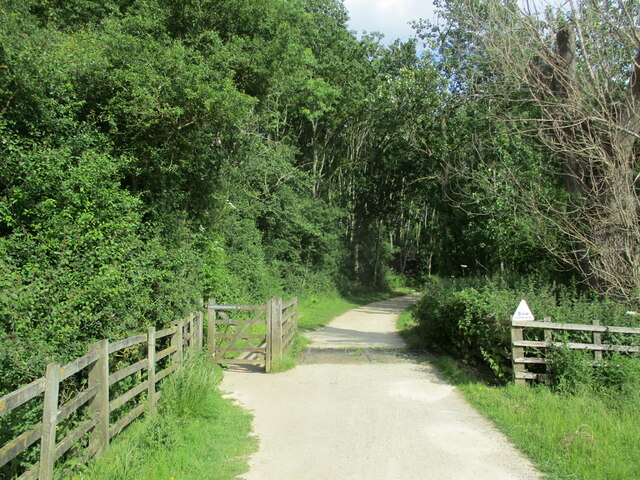
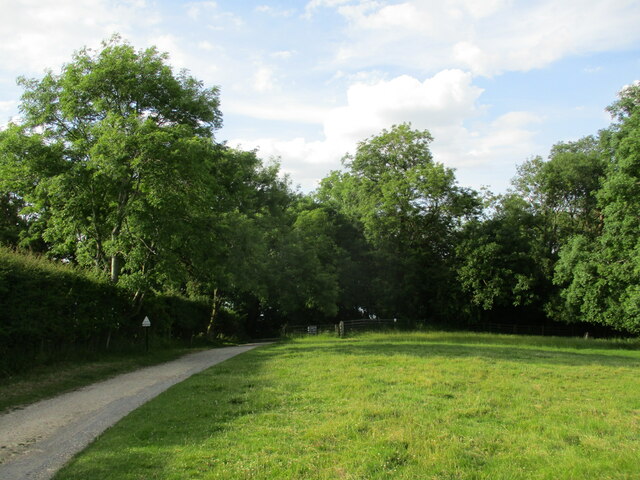
The spinney is crisscrossed by a network of well-maintained footpaths, allowing visitors to explore its hidden corners and discover its secrets. As you wander along these paths, you may come across ancient stone walls, remnants of the spinney's historical past. These walls serve as a reminder of the area's agricultural heritage, as the spinney was once part of a larger estate.

Birdwatchers will delight in the diverse avian population that frequents Barnhill Spinney. From the melodic songs of blackbirds and robins to the acrobatic displays of woodpeckers, there is always something to see and hear. If you're lucky, you might even spot a tawny owl, silently observing from its lofty perch.

For those seeking solitude and tranquility, Barnhill Spinney offers a peaceful retreat away from the hustle and bustle of everyday life. Whether you're strolling through the dappled sunlight, picnicking in a secluded clearing, or simply sitting quietly, immersing yourself in the sights and sounds of nature, this woodland is a sanctuary for the soul.

Overall, Barnhill Spinney is a hidden gem in the Rutland landscape, offering a slice of untouched wilderness for visitors to enjoy and appreciate.

If you have any feedback on the listing, please let us know in the comments section below.

Barnhill Spinney Images

Images are sourced within 2km of 52.653466/-0.63591566 or Grid Reference SK9207. Thanks to Geograph Open Source API. All images are credited.

Normanton Church Conserved on a 'raft' of stone at the side of Rutland Water
Normanton Church
Conserved on a 'raft' of stone at the side of Rutland Water
Normanton Church All but surrounded by Anglian Water's reservoir, Rutland Water
Normanton Church
All but surrounded by Anglian Water's reservoir, Rutland Water
Rutland Water from Normanton Fishing Lodge cafe
Rutland Water from Normanton visitor centre
Rutland Water at Whitwell Car Park Looking across to Upper Hambleton
Rutland Water at Whitwell Car Park
Looking across to Upper Hambleton
Rutland Belle returns to Whitwell Creek, Rutland Water
Whitwell Creek, Rutland Water
Limnological tower, Rutland Water Where regular water sampling checks purity
Limnological tower, Rutland Water
Where regular water sampling checks purity
Wedding day at Normanton church, Rutland Water Taken from 'Rutland Belle' just after leaving landing jetty
Wedding day at Normanton church, Rutland Water
Taken from 'Rutland Belle' just after leaving landing jetty
Half Moon Spinney, Rutland Water
Cycle path entering Hambleton Wood Part of the circuit of Rutland Water.
Cycle path entering Hambleton Wood
Part of the circuit of Rutland Water.
Rutland Water inlet near Lodge Farm A large flock of Canada Geese took to the water as I approached.
Rutland Water inlet near Lodge Farm
A large flock of Canada Geese took to the water as I approached.
Barnhill Creek, Rutland Water
Sheep pasture and Rutland Water
Cycle path entering Armley Wood Part of the circuit around Rutland Water.
Cycle path entering Armley Wood
Part of the circuit around Rutland Water.
Sheep on the path On the circuit around Rutland Water.
Sheep on the path
On the circuit around Rutland Water.
The Rutland Belle The Rutland Belle is a class V passenger vessel built in 1985 in response to a tender by Anglian Water to run boat trips on Rutland Water. Here she is at the Whitwell pier, ready to board passengers for a short cruise on Rutland Water.
The Rutland Belle
The Rutland Belle is a class V passenger vessel built in 1985 in response to a tender by Anglian Water to run boat trips on Rutland Water. Here she is at the Whitwell pier, ready to board passengers for a short cruise on Rutland Water.
The limnological tower on Rutland Water A fixed structure which monitors ecological conditions in the reservoir. Seen here from the passing Rutland Belle <a href="https://www.geograph.org.uk/photo/7201540">SK9208 : The Rutland Belle</a>
The limnological tower on Rutland Water
A fixed structure which monitors ecological conditions in the reservoir. Seen here from the passing Rutland Belle SK9208 : The Rutland Belle
Show me another place!

Barnhill Spinney is located at Grid Ref: SK9207 (Lat: 52.653466, Lng: -0.63591566)

Unitary Authority: Rutland

Police Authority: Leicestershire

What 3 Words

///works.rejoiced.begins. Near Edith Weston, Rutland

Nearby Locations

Barnhill Spinney

Related Wikis

List of Sites of Special Scientific Interest in Rutland

Rutland is a landlocked ceremonial county in the East Midlands of England. In 1974 it was merged to be part of the administrative county of Leicestershire...
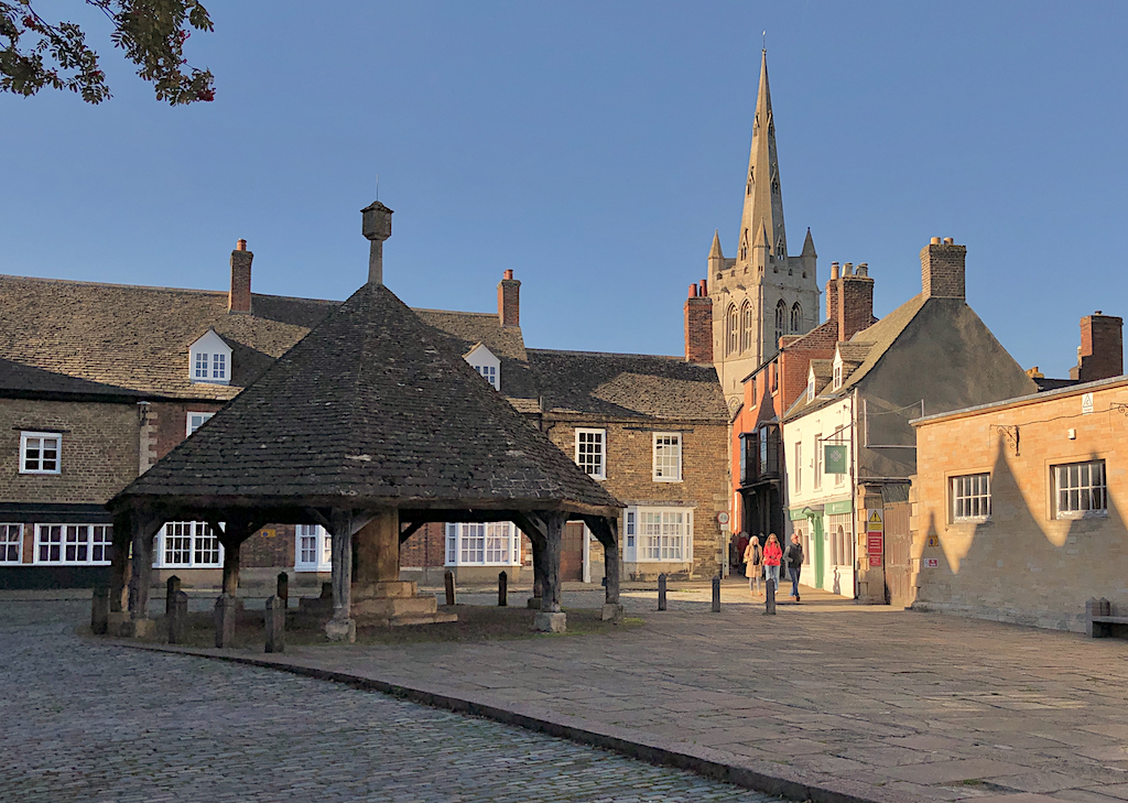
Rutland

Rutland (), sometimes archaically called Rutlandshire, is a ceremonial county in the East Midlands of England. It borders Leicestershire to the north and...

Hambleton Peninsula

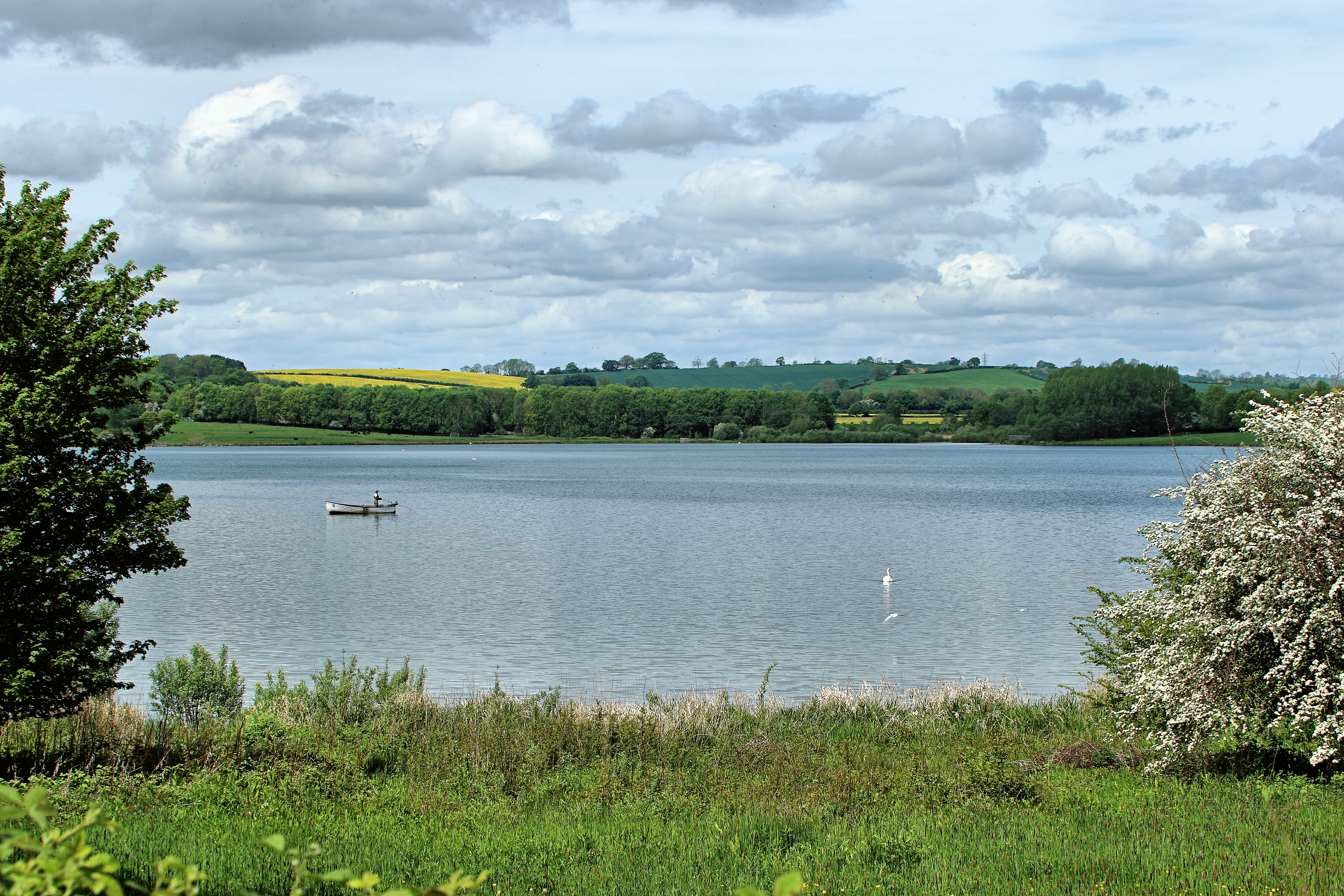
The Hambleton Peninsula lies within the reservoir Rutland Water, in Rutland, England. When the Gwash Valley was dammed in 1975, the area surrounding what...

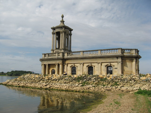
St Matthew's Church, Normanton

St Matthew's Church is a de-consecrated church in Normanton, Rutland. It is now on the shore of Rutland Water. The building is Grade II listed. ��2�...

Nearby Amenities

Located within 500m of 52.653466,-0.63591566
Parking
Parking: street_side
Source: GPS waypoint
Toilets Wheelchair: no
Wheelchair: yes
Lat/Long: 52.6507918/-0.6406188
Barrier: stile
Lat/Long: 52.6495174/-0.6335473
Parking
Parking: surface
Lat/Long: 52.6534244/-0.6362535
Barnhill Creek
Place: locality
Source: Bing
Lat/Long: 52.6525979/-0.6360142
The data included in this document is from www.openstreetmap.org. The data is made available under ODbL.

Have you been to Barnhill Spinney?

Leave your review of Barnhill Spinney below (or comments, questions and feedback).