Broom Plantation

Wood, Forest in Lincolnshire

England

Broom Plantation

Stitched up? Ditch and puddles in field south of Brigg Road, Messingham: aerial 2023 The water-filled ditch marks the position of a former field boundary, the pools seem to suggest truncated ends of ridge and furrow.
Stitched up? Ditch and puddles in field south of Brigg Road, Messingham: aerial 2023 Credit: Simon Tomson

The requested URL returned error: 429 Too Many Requests

If you have any feedback on the listing, please let us know in the comments section below.

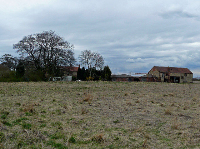
Broom Plantation Images

Images are sourced within 2km of 53.527974/-0.61212758 or Grid Reference SE9204. Thanks to Geograph Open Source API. All images are credited.

Stitched up? Ditch and puddles in field south of Brigg Road, Messingham: aerial 2023 The water-filled ditch marks the position of a former field boundary, the pools seem to suggest truncated ends of ridge and furrow.
Stitched up? Ditch and puddles in field south of Brigg Road, Messingham: aerial 2023
The water-filled ditch marks the position of a former field boundary, the pools seem to suggest truncated ends of ridge and furrow.
Opencast Way on Holme Lane
Opencast Way towards Kestrel Lodge
Opencast Way towards Slate House
Opencast Way at Slate House
Opencast Way towards Holme Lane
Footbridge at Willow Springs
Willow Springs Coarse Fishery Taken from the Opencast Way.
Willow Springs Coarse Fishery
Taken from the Opencast Way.
Notice at Willow Springs Coarse Fishery
Show me another place!

Broom Plantation is located at Grid Ref: SE9204 (Lat: 53.527974, Lng: -0.61212758)

Unitary Authority: North Lincolnshire

Police Authority: Humberside

What 3 Words

///agreement.warns.pets. Near Manton, Lincolnshire

Related Wikis

Manton, Lincolnshire

Manton is a village and civil parish in North Lincolnshire, England. The population of the civil parish at the 2011 census was 123. The village is situated...

Holme, North Lincolnshire

Holme is a linear settlement and former civil parish, now in the parish of Messingham, in the North Lincolnshire district, in the ceremonial county of...

Messingham

Messingham is a village and civil parish in North Lincolnshire, England. The village is situated on the A159, 4 miles (6 km) south from the centre of Scunthorpe...

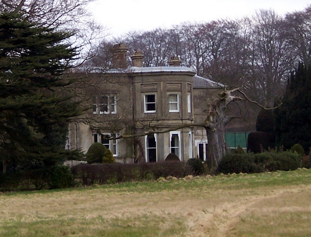
Cleatham Hall, Lincolnshire

Cleatham Hall is an English country house located near Manton in Lincolnshire, England. The building is of special interest and has a Grade II listing...

Nearby Amenities

Located within 500m of 53.527974,-0.61212758
Low Farm
Place: farm
Source: Bing
Lat/Long: 53.5259953/-0.614959
The data included in this document is from www.openstreetmap.org. The data is made available under ODbL.

Have you been to Broom Plantation?

Leave your review of Broom Plantation below (or comments, questions and feedback).