Bassingham Covert
Wood, Forest in Lincolnshire North Kesteven
England
Bassingham Covert
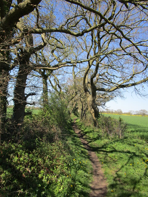
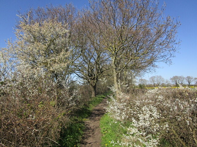
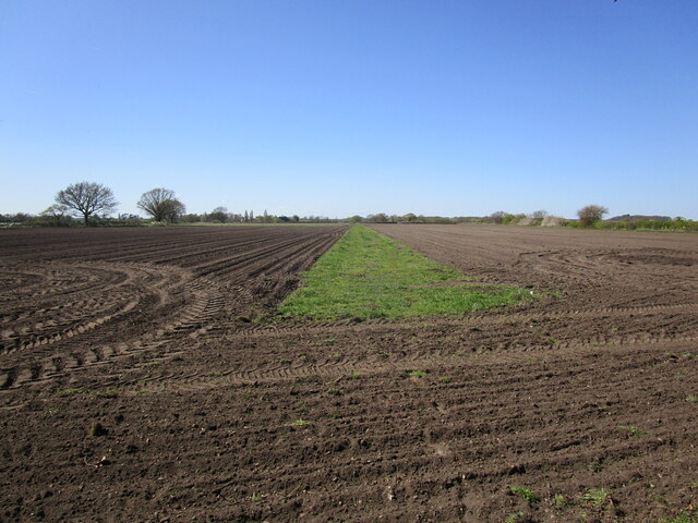
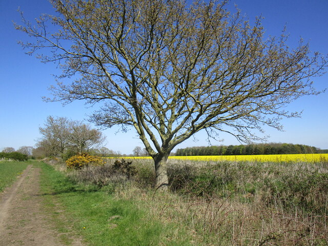
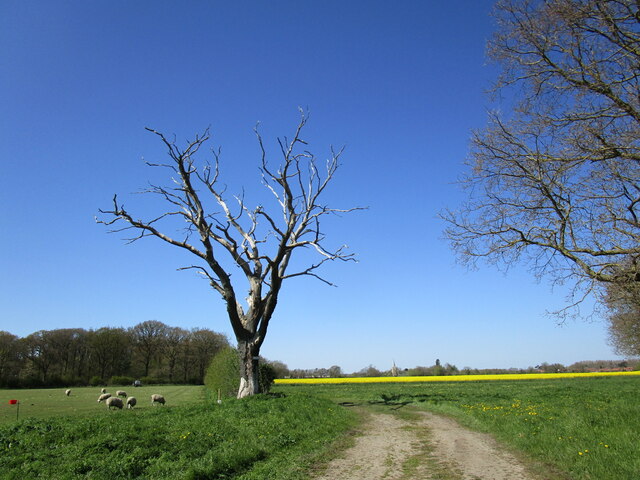
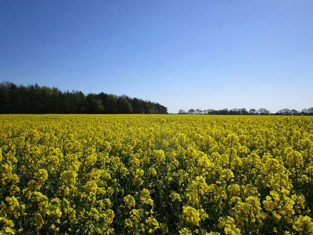
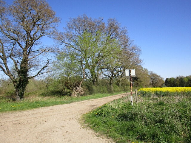
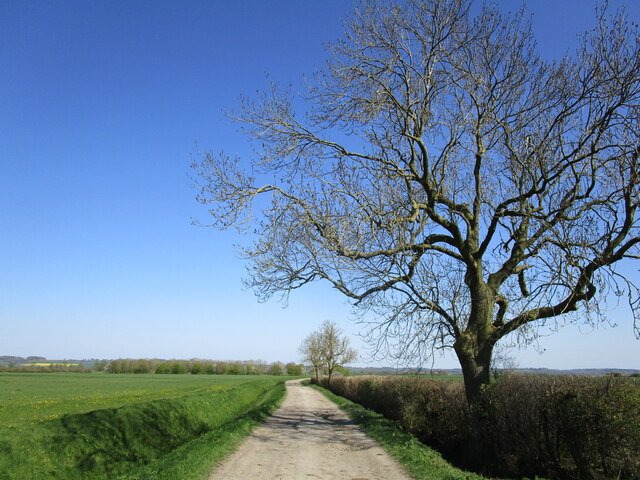
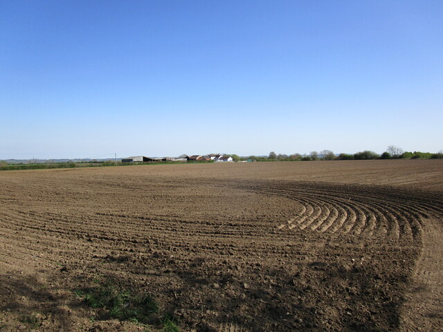
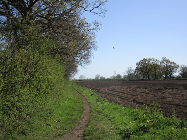
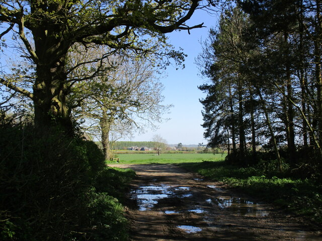
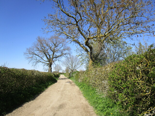
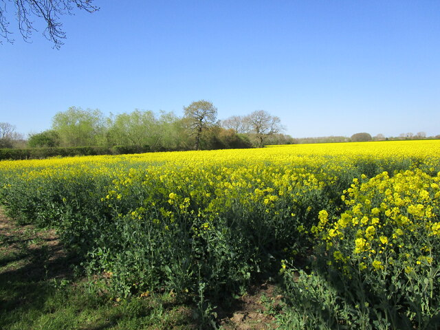
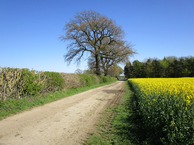
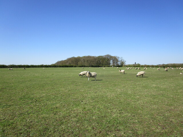
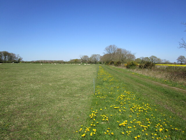
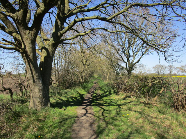
Bassingham Covert is a picturesque woodland located in the county of Lincolnshire, England. It stretches over an area of approximately 50 acres and is situated just south of the village of Bassingham. The covert is known for its dense and diverse vegetation, making it an ideal habitat for a wide range of wildlife.
The woodland is predominantly composed of deciduous trees such as oak, ash, and beech, which create a stunning canopy during the summer months. These trees provide shelter and food for various species of birds, including woodpeckers, owls, and songbirds. The forest floor is covered in a thick carpet of ferns, mosses, and wildflowers, adding to the beauty and biodiversity of the area.
Bassingham Covert is also home to a variety of mammals, including deer, squirrels, and foxes. These animals rely on the woodland for food and shelter, and can often be spotted during early morning or evening walks. In addition, the covert is inhabited by a diverse range of insects and invertebrates, contributing to the overall ecosystem of the area.
The woodland is a popular destination for nature enthusiasts, walkers, and birdwatchers, who come to enjoy the tranquil surroundings and observe the wildlife. There are several well-maintained footpaths that wind through the covert, allowing visitors to explore the area and discover its hidden treasures. The woodland is also a designated Site of Special Scientific Interest (SSSI) due to its importance in preserving the local ecosystem.
Overall, Bassingham Covert is a stunning woodland that offers a peaceful retreat and a chance to connect with nature. Its rich biodiversity and serene atmosphere make it a cherished natural gem in Lincolnshire.
If you have any feedback on the listing, please let us know in the comments section below.
Bassingham Covert Images
Images are sourced within 2km of 53.136076/-0.62489427 or Grid Reference SK9260. Thanks to Geograph Open Source API. All images are credited.
Bassingham Covert is located at Grid Ref: SK9260 (Lat: 53.136076, Lng: -0.62489427)
Administrative County: Lincolnshire
District: North Kesteven
Police Authority: Lincolnshire
What 3 Words
///dare.inkjet.breeze. Near Bassingham, Lincolnshire
Nearby Locations
Related Wikis
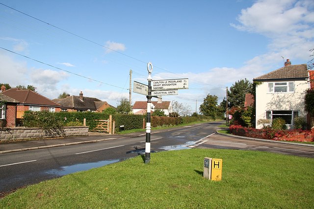
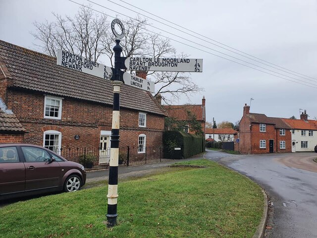
Bassingham
Bassingham is a village and civil parish in the North Kesteven district of Lincolnshire, England. The population of the civil parish at the 2011 census...

Thurlby, North Kesteven
Thurlby is a village and civil parish in the North Kesteven district of Lincolnshire, England, about 9 miles (14 km) south-west of the city of Lincoln...

Aubourn
Aubourn ("Stream where the Alders grow") is a small village in the civil parish of Aubourn with Haddington, in the North Kesteven district, in the county...

Aubourn with Haddington
Aubourn with Haddington or Aubourn and Haddington is a civil parish in the North Kesteven district of Lincolnshire, England. The population of the civil...

Haddington, Lincolnshire
Haddington is a hamlet in the civil parish of Aubourn with Haddington, in the North Kesteven district of Lincolnshire, England. It is situated just off...

Carlton-le-Moorland
Carlton-le-Moorland, is a village and civil parish in the North Kesteven district of Lincolnshire, England, between Newark-on-Trent and Lincoln. The parish...

Aubourn Haddington and South Hykeham
Aubourn Haddington and South Hykeham was a former civil parish in the North Kesteven district of Lincolnshire, England. According to the 2001 census it...
Witham St Hughs
Witham St Hughs is a village in the Parish of Thurlby in the North Kesteven district of Lincolnshire, England. The population of the civil parish (including...
Nearby Amenities
Located within 500m of 53.136076,-0.62489427Have you been to Bassingham Covert?
Leave your review of Bassingham Covert below (or comments, questions and feedback).