Easton Plantation

Wood, Forest in Lincolnshire South Kesteven

England

Easton Plantation

Easton Hall and Park: aerial 2021 (1) See: <span class="nowrap"><a title="https://houseandheritage.org/2015/10/23/easton-hall/" rel="nofollow ugc noopener" href="https://houseandheritage.org/2015/10/23/easton-hall/">Link</a><img style="margin-left:2px;" alt="External link" title="External link - shift click to open in new window" src="https://s1.geograph.org.uk/img/external.png" width="10" height="10"/></span>
Easton Hall and Park: aerial 2021 (1) Credit: Chris

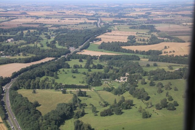
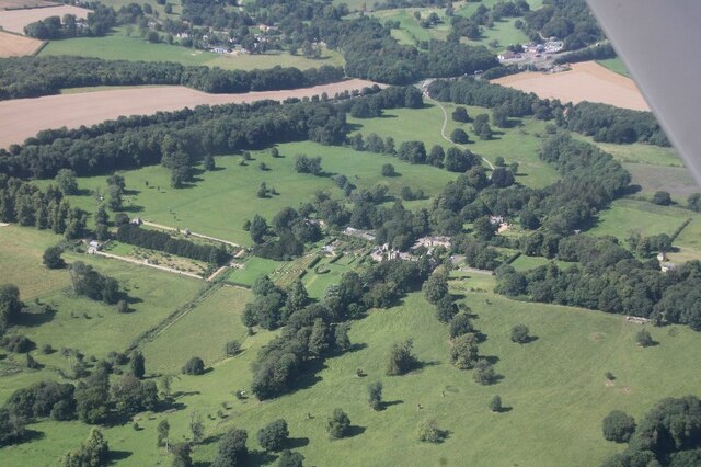
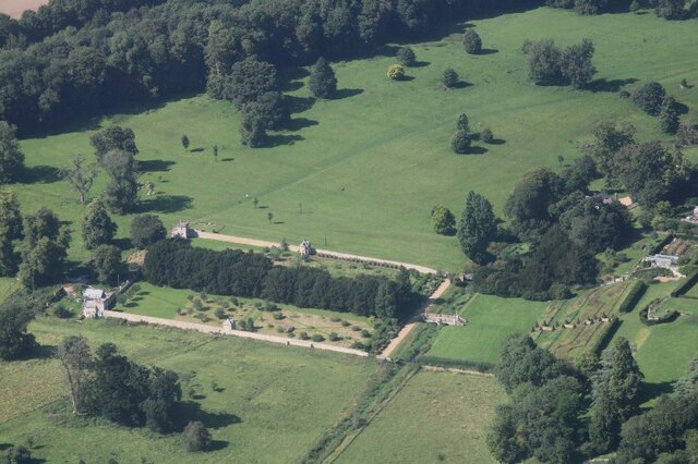
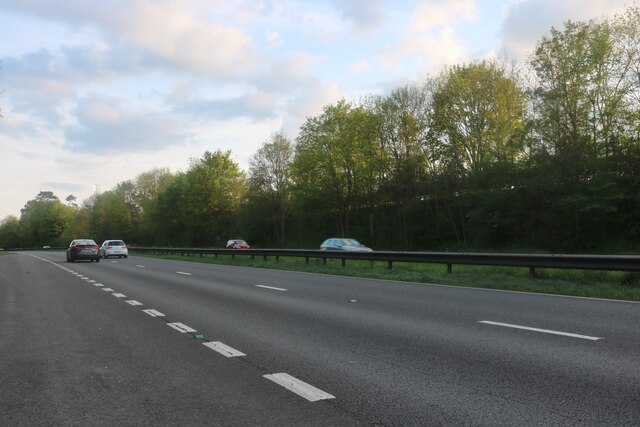
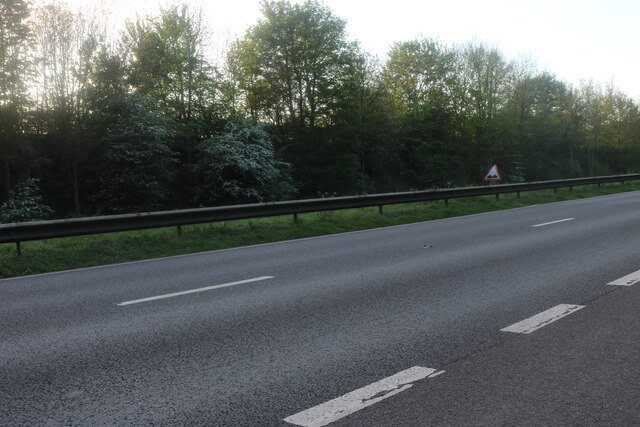
Easton Plantation, located in the county of Lincolnshire, is a picturesque woodland area known for its natural beauty and rich history. Situated amidst the serene countryside, the plantation spans across a vast area, encompassing dense forests and lush greenery.

The plantation derives its name from the small village of Easton, which lies adjacent to it. The area is renowned for its diverse range of tree species, including oak, beech, and ash, which contribute to the vibrant and verdant landscape. The woodland is home to various wildlife species, such as deer, foxes, and numerous bird species, making it a haven for nature enthusiasts and birdwatchers.

With a history dating back centuries, Easton Plantation has witnessed many significant events and played a vital role in the local community. It was once a prime location for timber production, providing wood for construction and fuel. The remnants of old sawmills and charcoal kilns can still be found, serving as a reminder of its past industrial importance.

Today, Easton Plantation is primarily cherished for its recreational offerings. The woodland provides ample opportunities for outdoor activities, including hiking, cycling, and horse riding. The well-maintained trails meander through the forest, allowing visitors to explore its hidden corners and admire the breathtaking scenery.

Easton Plantation also hosts educational programs and guided tours, offering visitors a chance to learn about the flora and fauna that thrive within its boundaries. It serves as an important resource for environmental conservation and promotes awareness about the significance of preserving natural habitats.

Overall, Easton Plantation is a gem in the heart of Lincolnshire, attracting nature lovers, history enthusiasts, and adventure seekers alike with its natural splendor and enchanting ambience.

If you have any feedback on the listing, please let us know in the comments section below.

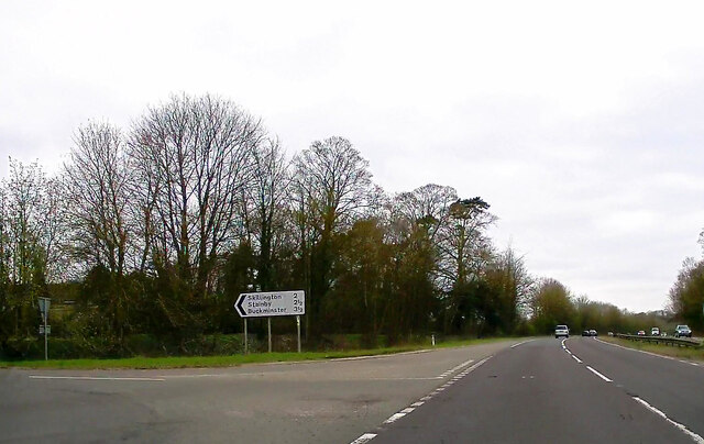
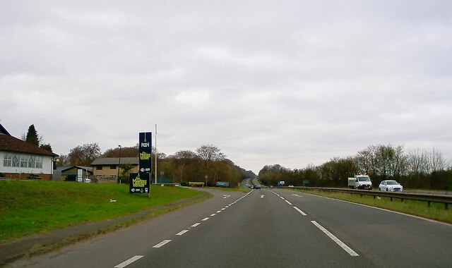
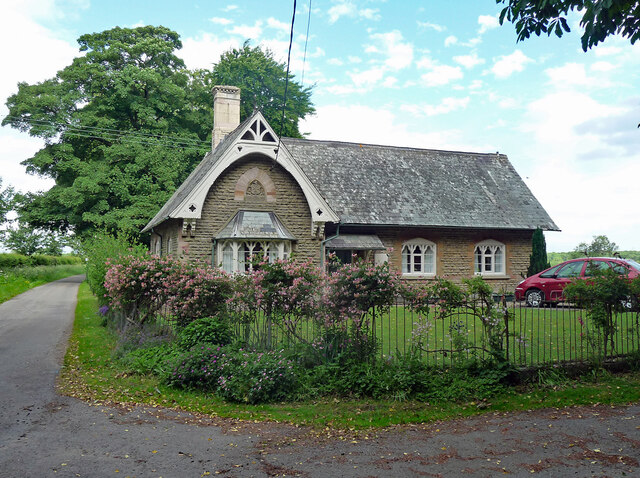
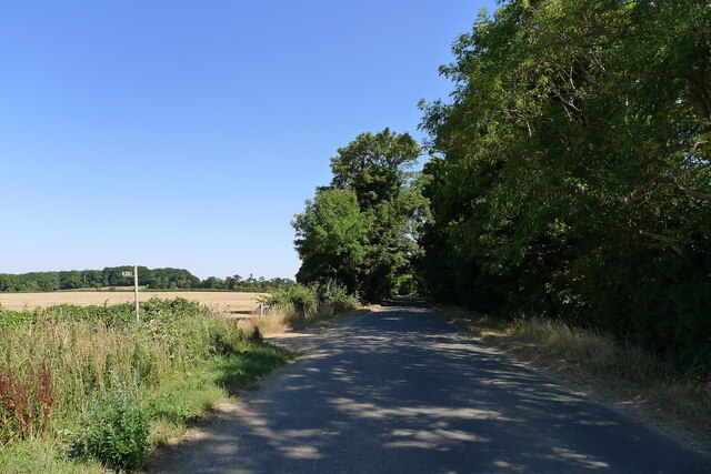
Easton Plantation Images

Images are sourced within 2km of 52.83171/-0.63461402 or Grid Reference SK9226. Thanks to Geograph Open Source API. All images are credited.

Easton Hall and Park: aerial 2021 (1) See: <span class="nowrap"><a title="https://houseandheritage.org/2015/10/23/easton-hall/" rel="nofollow ugc noopener" href="https://houseandheritage.org/2015/10/23/easton-hall/">Link</a><img style="margin-left:2px;" alt="External link" title="External link - shift click to open in new window" src="https://s1.geograph.org.uk/img/external.png" width="10" height="10"/></span>
Easton Hall and Park: aerial 2021 (1)
See: LinkExternal link
Easton Hall and Park: aerial 2021 (2) See: <span class="nowrap"><a title="https://houseandheritage.org/2015/10/23/easton-hall/" rel="nofollow ugc noopener" href="https://houseandheritage.org/2015/10/23/easton-hall/">Link</a><img style="margin-left:2px;" alt="External link" title="External link - shift click to open in new window" src="https://s1.geograph.org.uk/img/external.png" width="10" height="10"/></span>
Easton Hall and Park: aerial 2021 (2)
See: LinkExternal link
Easton Hall and Park: aerial 2021 (3) Detail of garden.
Easton Hall and Park: aerial 2021 (3)
Detail of garden.
Stoke Rochford Park
Stoke Rochford Park
A1 northbound near Colsterworth
A1 northbound near Crabtree House
A1 passing Stoke Rochford Golf Club
Lay-by on the Great North Road (A1)
Old School, Easton Dated 1878. Grade II listed.
Now a private house. See also <a href="https://www.geograph.org.uk/photo/212693">SK9326 : Former school at Easton</a>.
Old School, Easton
Dated 1878. Grade II listed. Now a private house. See also SK9326 : Former school at Easton.
Crabtree Road heading towards the A1 The footpath on the left leads to Skillington
Crabtree Road heading towards the A1
The footpath on the left leads to Skillington
Planting Road leading to Easton The delightful Easton walled gardens are at the end of this quiet lane <span class="nowrap"><a title="https://www.visiteaston.co.uk/" rel="nofollow ugc noopener" href="https://www.visiteaston.co.uk/">Link</a><img style="margin-left:2px;" alt="External link" title="External link - shift click to open in new window" src="https://s1.geograph.org.uk/img/external.png" width="10" height="10"/></span>
Planting Road leading to Easton
The delightful Easton walled gardens are at the end of this quiet lane LinkExternal link
Great North Road, Stoke Rochford
Great North Road, Stoke Rochford Looking towards Walk Plantation
Great North Road, Stoke Rochford
Looking towards Walk Plantation
Great North Road, Easton
Great North Road, Colsterworth
Stoke Rochford, St. Andrew and St. Mary's Church: Eastern aspect
Stoke Rochford, St. Andrew and St. Mary's Church: Western aspect
Show me another place!

Easton Plantation is located at Grid Ref: SK9226 (Lat: 52.83171, Lng: -0.63461402)

Administrative County: Lincolnshire

District: South Kesteven

Police Authority: Lincolnshire

What 3 Words

///widen.vacancies.sues. Near Colsterworth, Lincolnshire

Related Wikis

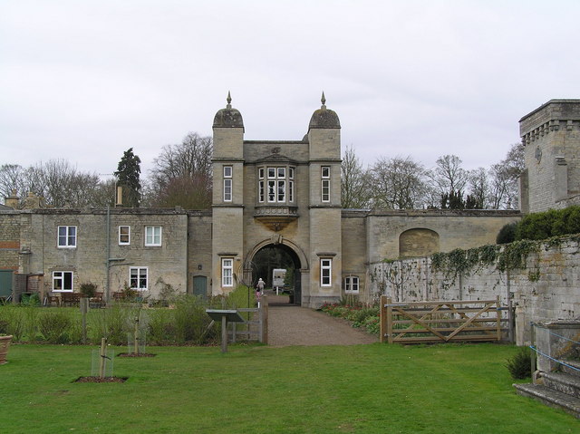
St Andrew and St Mary's Church, Stoke Rochford

St Andrew and St Mary's Church is a Grade I listed Church of England parish church dedicated to Saint Andrew and Saint Mary, in the parish of Easton and...

Stoke Rochford

Stoke Rochford is a small English village and civil parish 5.5 miles (9 km) south of Grantham in the South Kesteven district of Lincolnshire. The population...
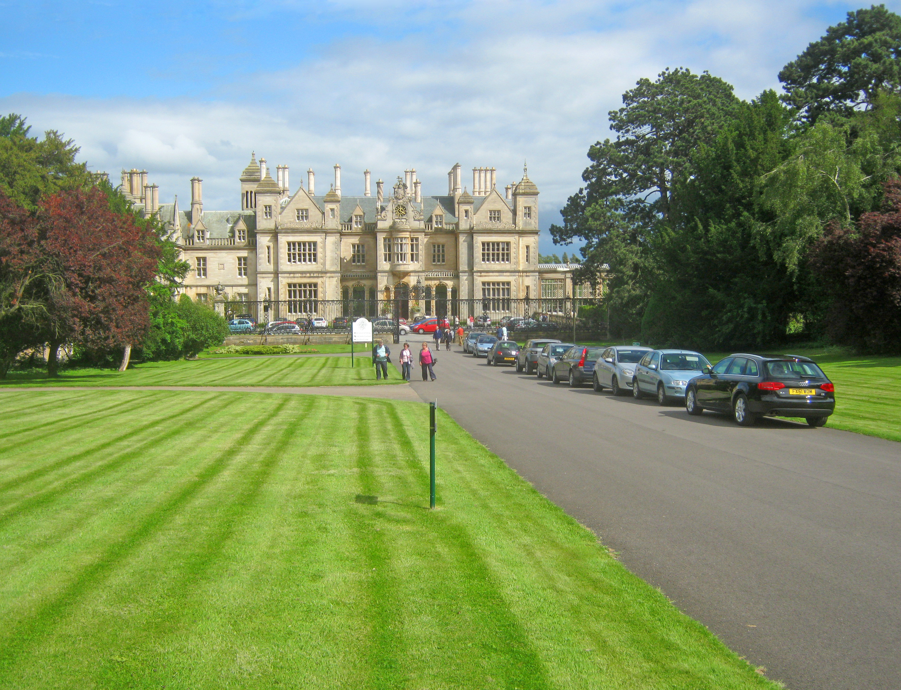
Stoke Rochford Hall

Stoke Rochford Hall is a large house built in scenic grounds, with a nearby golf course, next to the A1 in south Lincolnshire, England. The parkland and...

Easton, Lincolnshire

Easton is a village in the South Kesteven district of Lincolnshire, England, almost 2 miles (3.2 km) north of Colsterworth, and 1 mile (1.6 km) east of...

Woolsthorpe-by-Colsterworth

Woolsthorpe-by-Colsterworth (to distinguish it from Woolsthorpe-by-Belvoir in the same county) is a hamlet in the South Kesteven district of Lincolnshire...
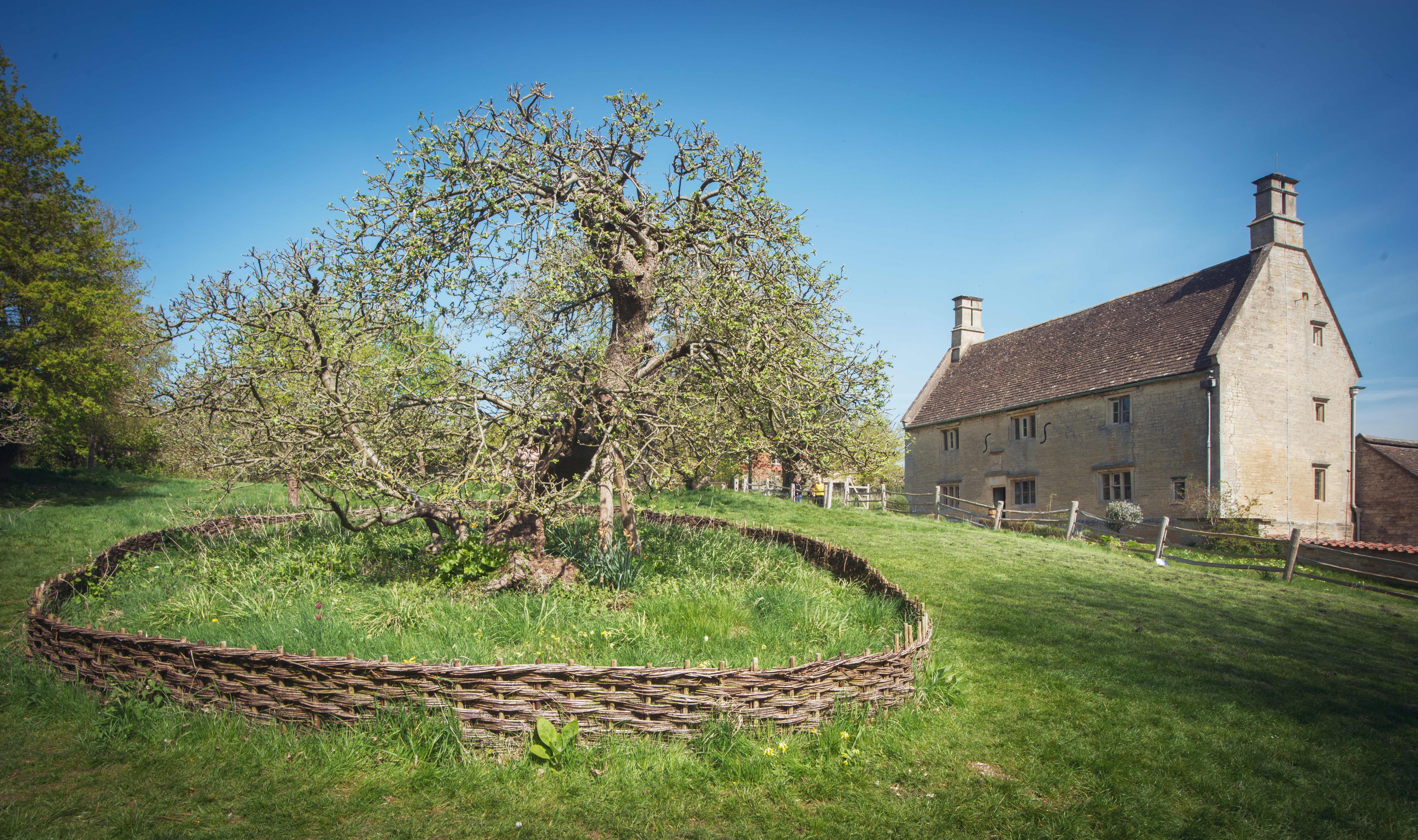
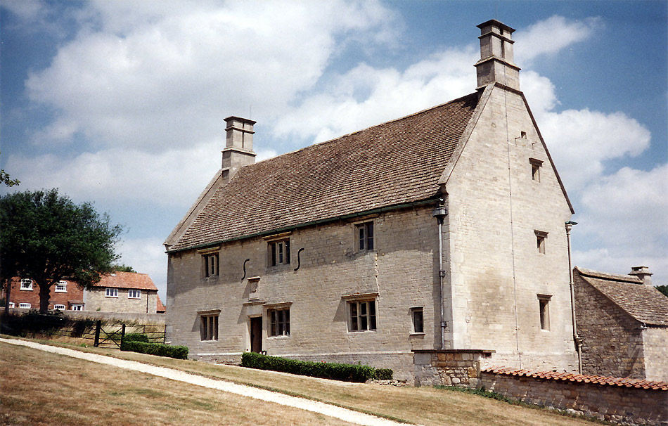
Woolsthorpe Manor

Woolsthorpe Manor in Woolsthorpe-by-Colsterworth, near Grantham, Lincolnshire, England, is the birthplace and was the family home of Sir Isaac Newton....

Isaac Newton's apple tree

Isaac Newton's apple tree at Woolsthorpe Manor represents the inspiration behind Sir Isaac Newton's theory of gravity. While the precise details of the...

Skillington

Skillington is a village and civil parish in the South Kesteven district of Lincolnshire, England. The population of the civil parish at the 2021 census...

Nearby Amenities

Located within 500m of 52.83171,-0.63461402
Post Office
Stoke Rochford Village Shop
Shop: convenience
Lat/Long: 52.8355942/-0.631643
Parking
Access: yes
Description: Layby
Ele: 98.1796875
Fee: no
Parking: street_side
Lat/Long: 52.8315213/-0.6314304
Post Box
Lat/Long: 52.8356784/-0.6317504
Crabtree House
Place: isolated_dwelling
Source: Bing
Lat/Long: 52.8286909/-0.63236
Rochford House
Place: isolated_dwelling
Source: Bing
Lat/Long: 52.8345041/-0.6385735
Power: pole
Lat/Long: 52.8276682/-0.6321166
Parking
Access: yes
Fee: no
Parking: street_side
Lat/Long: 52.831107/-0.6309473
Telephone
Defibrillator
Booth: K6
Covered: booth
Defibrillator Location: inside old red phonebox, Stoke Rochford
Emergency: defibrillator
Man Made: telephone_box
Old Phone: +44 1476 530398
Lat/Long: 52.8359691/-0.6363891
Post Box
Post Box Type: lamp
Royal Cypher: EIIR
Royal Cypher Wikidata: Q33102113
Lat/Long: 52.8359898/-0.6363944
Historic: water_well
Lat/Long: 52.8360238/-0.6365131
Advertising: board
Lat/Long: 52.835959/-0.6366653
Grit Bin
Lat/Long: 52.8359525/-0.6363669
The data included in this document is from www.openstreetmap.org. The data is made available under ODbL.

Have you been to Easton Plantation?

Leave your review of Easton Plantation below (or comments, questions and feedback).