Black Hoe Plantation
Wood, Forest in Lincolnshire
England
Black Hoe Plantation

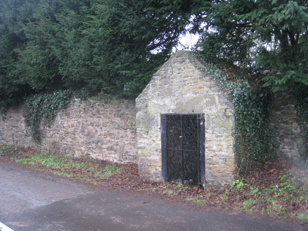
Black Hoe Plantation is a woodland area located in Lincolnshire, England. Spanning over several acres, the plantation is a natural treasure and a haven for nature enthusiasts. The area is characterized by a dense forest, filled with a variety of tree species, including oak, beech, and birch trees. The woodland is known for its rich biodiversity, with a diverse range of flora and fauna thriving within its boundaries.
The plantation offers a tranquil and serene atmosphere, making it a popular destination for outdoor activities such as hiking, bird watching, and nature walks. The well-maintained trails provide visitors with the opportunity to explore the woodland and discover its hidden gems. Throughout the seasons, the woodland showcases a stunning display of colors, with vibrant foliage in autumn and blooming wildflowers in spring.
The plantation also serves as a habitat for various wildlife species, including deer, foxes, rabbits, and a wide range of bird species. Bird enthusiasts can spot species like woodpeckers, owls, and sparrows, making it a haven for birdwatching.
Black Hoe Plantation is not only a recreational space but also plays a crucial role in preserving the local environment. It acts as a carbon sink, helping to mitigate the effects of climate change, and serves as a natural water catchment area, contributing to the overall ecological balance of the region.
Overall, Black Hoe Plantation is a remarkable natural landscape that offers a serene escape and a chance to connect with nature in the heart of Lincolnshire.
If you have any feedback on the listing, please let us know in the comments section below.
Black Hoe Plantation Images
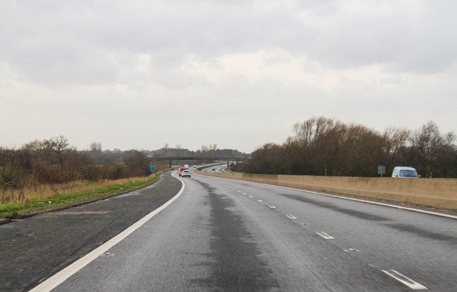
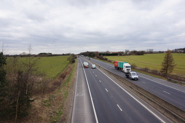
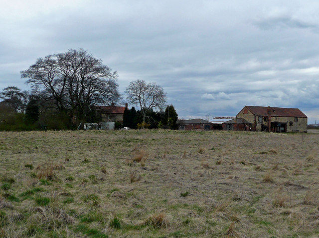
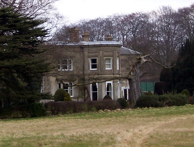
Images are sourced within 2km of 53.533496/-0.60918589 or Grid Reference SE9204. Thanks to Geograph Open Source API. All images are credited.


Black Hoe Plantation is located at Grid Ref: SE9204 (Lat: 53.533496, Lng: -0.60918589)
Unitary Authority: North Lincolnshire
Police Authority: Humberside
What 3 Words
///diplomat.receive.daunted. Near Manton, Lincolnshire
Nearby Locations
Related Wikis
Holme, North Lincolnshire
Holme is a linear settlement and former civil parish, now in the parish of Messingham, in the North Lincolnshire district, in the ceremonial county of...
Manton, Lincolnshire
Manton is a village and civil parish in North Lincolnshire, England. The population of the civil parish at the 2011 census was 123. The village is situated...

Messingham
Messingham is a village and civil parish in North Lincolnshire, England. The village is situated on the A159, 4 miles (6 km) south from the centre of Scunthorpe...
Bottesford Preceptory
Bottesford Preceptory was sited at Bottesford, just to the south of Scunthorpe, in Lindsey, England. It was on low-lying land, near the Bottesford Beck...
Nearby Amenities
Located within 500m of 53.533496,-0.60918589Have you been to Black Hoe Plantation?
Leave your review of Black Hoe Plantation below (or comments, questions and feedback).