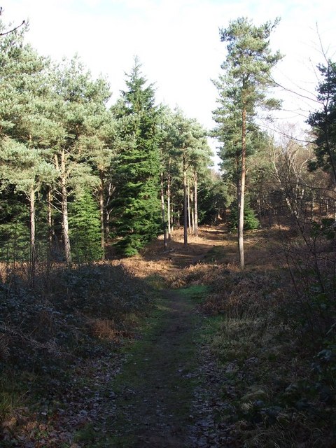
Baker's Wood

Wood, Forest in Bedfordshire

England

Baker's Wood

The A5 Watling Street, Sheeplane
The A5 Watling Street, Sheeplane Credit: David Howard

The requested URL returned error: 429 Too Many Requests

If you have any feedback on the listing, please let us know in the comments section below.
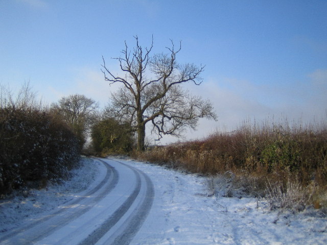
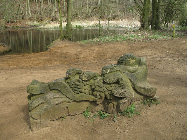
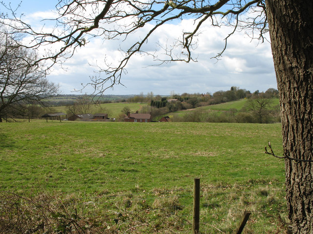
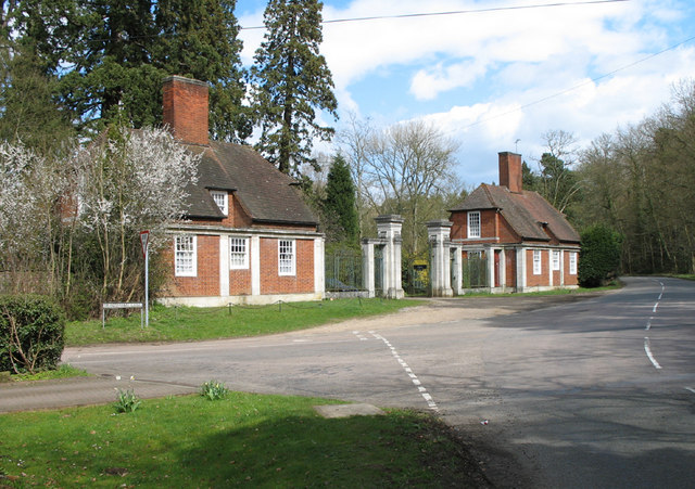
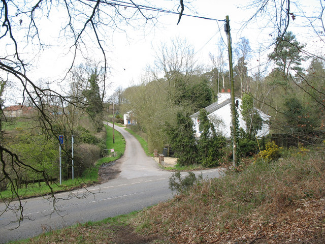
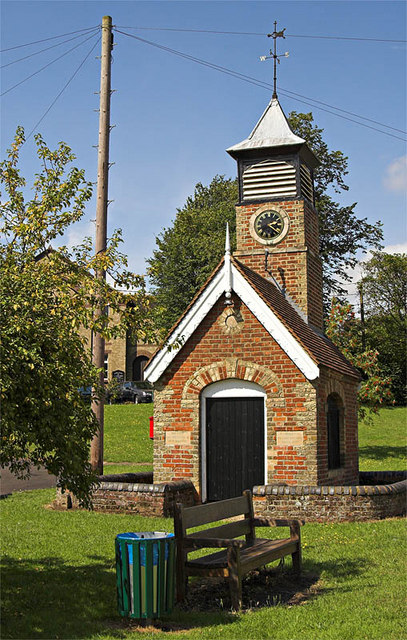
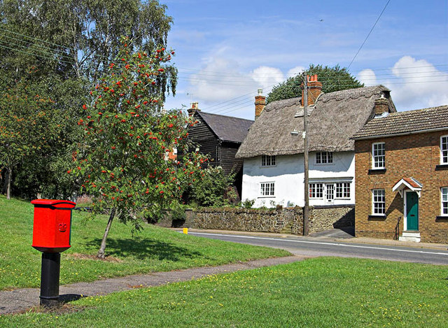
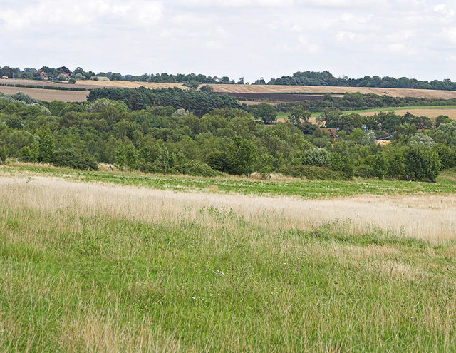
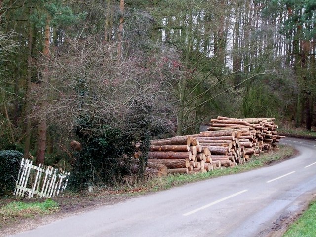
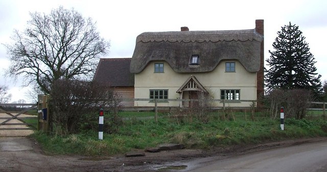
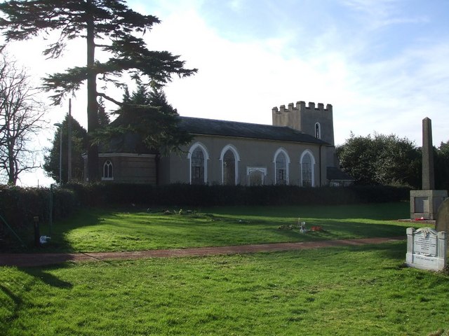
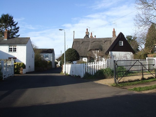
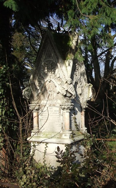
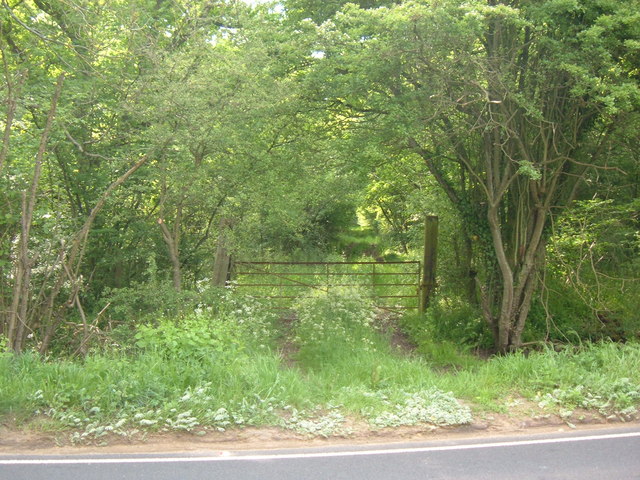
Baker's Wood Images

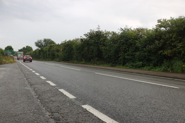
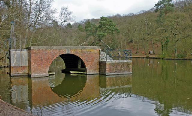
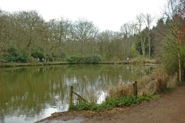
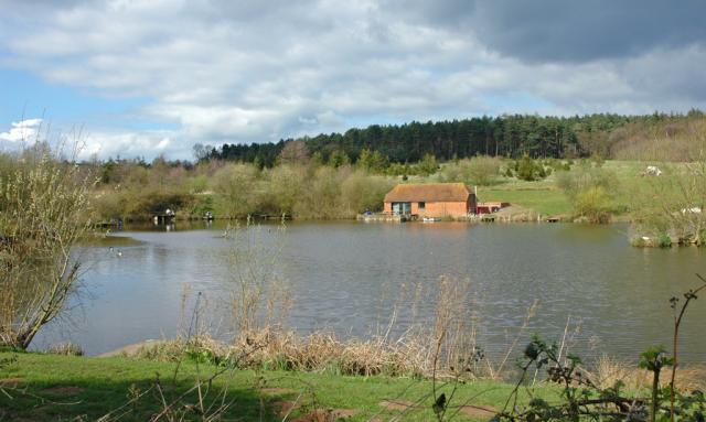
Images are sourced within 2km of 51.95169/-0.66150223 or Grid Reference SP9228. Thanks to Geograph Open Source API. All images are credited.

The A5 Watling Street, Sheeplane
Stockgrove Country Park The (artificial) lake was excavated in the 1920s and the boathouse was built soon afterwards.  The boathouse used to have a room above with a thatched roof - but it burned down in the 1960s.  Part of the drawbridge mechanism remains on the left hand side.
Stockgrove Country Park
The (artificial) lake was excavated in the 1920s and the boathouse was built soon afterwards. The boathouse used to have a room above with a thatched roof - but it burned down in the 1960s. Part of the drawbridge mechanism remains on the left hand side.
Stockgrove Country Park The southern end of the artificial lake.
Stockgrove Country Park
The southern end of the artificial lake.
Fishing Pond & the Greensand Ridge.
Heath and Reach: Near Overendgreen Farm The lane between Heath and Reach and Overendgreen Farm viewed looking westwards with a light covering of snow on the ground.
Heath and Reach: Near Overendgreen Farm
The lane between Heath and Reach and Overendgreen Farm viewed looking westwards with a light covering of snow on the ground.
Live life gently Carved seat beside the Three Locks / Great Brickhill circular walk.  The seat faces a woodland lake.  The carving includes acorns at the front whilst the face on the back tells us 'This life is good. Live it gently with fire and always with hope'.
Live life gently
Carved seat beside the Three Locks / Great Brickhill circular walk. The seat faces a woodland lake. The carving includes acorns at the front whilst the face on the back tells us 'This life is good. Live it gently with fire and always with hope'.
Kiln Farm View from the Three Locks / Great Brickhill circular walk.  Kiln Farm nestles in the valley, whilst the village of Bragenham is visible amongst the trees behind.
Kiln Farm
View from the Three Locks / Great Brickhill circular walk. Kiln Farm nestles in the valley, whilst the village of Bragenham is visible amongst the trees behind.
Rushmere Park Gated entrance to Rushmere Park on Old Linslade Road.  The side road on the left is Bragenham Lane.
Rushmere Park
Gated entrance to Rushmere Park on Old Linslade Road. The side road on the left is Bragenham Lane.
Lane to Nares Gladley Farm A white cottage stands on the corner of the lane which branches off the Old Linslade Road.   The farm buildings can be seen behind the trees on the left.
Lane to Nares Gladley Farm
A white cottage stands on the corner of the lane which branches off the Old Linslade Road. The farm buildings can be seen behind the trees on the left.
1873 Pump House and Clock Tower The unusual building is located on Heath Green in Heath and Reach. 1873. It is a grade 2 listed structure listed as: One storey brick shed with gable end, the sides with cambered headed archways filled by iron railings. Gable ends. Tile roof. One gable end has plain door with cambered arch. Rising above the roof at the opposite end is a 2 stage square brick turrett with clock dial surmounted by louvred belfry. Pyramid roof and vane with cardinal points. Iron pumping machinery inside. A prominent feature of the village green.
1873 Pump House and Clock Tower
The unusual building is located on Heath Green in Heath and Reach. 1873. It is a grade 2 listed structure listed as: One storey brick shed with gable end, the sides with cambered headed archways filled by iron railings. Gable ends. Tile roof. One gable end has plain door with cambered arch. Rising above the roof at the opposite end is a 2 stage square brick turrett with clock dial surmounted by louvred belfry. Pyramid roof and vane with cardinal points. Iron pumping machinery inside. A prominent feature of the village green.
Heath Green Heath Green in Heath and Reach with period cottages and a modern Post box!
Heath Green
Heath Green in Heath and Reach with period cottages and a modern Post box!
Abandoned Gravel and Sand Pits Abandoned Gravel and Sand Pit workings almost fill this grid square.Some have now been recovered as grass land, as seen here.
Abandoned Gravel and Sand Pits
Abandoned Gravel and Sand Pit workings almost fill this grid square.Some have now been recovered as grass land, as seen here.
Woodpile near Great Brickhill The land to the east of Great Brickhill is quite wooded. As can be seen, some of this wood has been harvested and is lying beside the lane presumably awaiting collection.
Woodpile near Great Brickhill
The land to the east of Great Brickhill is quite wooded. As can be seen, some of this wood has been harvested and is lying beside the lane presumably awaiting collection.
Blue Gate Farm This attractive thatched farmhouse is just out of Great Brickhill on a 90º bend on Heath Road and just sneaks into this gridsquare. A track (and public footpath) leads to Hillbottom Spinney from this point.
Blue Gate Farm
This attractive thatched farmhouse is just out of Great Brickhill on a 90º bend on Heath Road and just sneaks into this gridsquare. A track (and public footpath) leads to Hillbottom Spinney from this point.
St. Leonard's, Heath & Reach This little church serves the village of Heath & Reach on the outskirts of Leighton Buzzard. Apparently the building's origins are somewhat uncertain, though the stubby tower was apparently added in the 16th century. However the nave was substantially rebuilt in the early 19th century - which gives the whole building a late Georgian or early Victorian appearance.
St. Leonard's, Heath & Reach
This little church serves the village of Heath & Reach on the outskirts of Leighton Buzzard. Apparently the building's origins are somewhat uncertain, though the stubby tower was apparently added in the 16th century. However the nave was substantially rebuilt in the early 19th century - which gives the whole building a late Georgian or early Victorian appearance.
Looking into King's Wood King's Wood is a large wooded area to the north of Heath & Reach. It is a National Nature Reserve which adjoins Stockgrove Country Park which is on the opposite side of the lane.
Looking into King's Wood
King's Wood is a large wooded area to the north of Heath & Reach. It is a National Nature Reserve which adjoins Stockgrove Country Park which is on the opposite side of the lane.
Heath and Reach - Lane's End Heath and Reach has some lovely buildings, these cottages on Lane's End being examples. Heath and Reach is a quite sought-after village to the north of Leighton Buzzard, but it does rather suffer from the busy road that cuts through it.
Heath and Reach - Lane's End
Heath and Reach has some lovely buildings, these cottages on Lane's End being examples. Heath and Reach is a quite sought-after village to the north of Leighton Buzzard, but it does rather suffer from the busy road that cuts through it.
Victorian memorial, St. Leonard's, Heath and Reach This elaborate memorial shelters under a tree in the churchyard of St.Leonard's in Heath and Reach. It is a family memorial, with the side facing us commemorating the sad demise of a little infant, Susy, in 1875. The high Victorian gothic style of such monuments seems to me very fitting.
Victorian memorial, St. Leonard's, Heath and Reach
This elaborate memorial shelters under a tree in the churchyard of St.Leonard's in Heath and Reach. It is a family memorial, with the side facing us commemorating the sad demise of a little infant, Susy, in 1875. The high Victorian gothic style of such monuments seems to me very fitting.
Show me another place!

Baker's Wood is located at Grid Ref: SP9228 (Lat: 51.95169, Lng: -0.66150223)

Unitary Authority: Central Bedfordshire

Police Authority: Bedfordshire

What 3 Words

///lives.status.cage. Near Heath and Reach, Bedfordshire

Related Wikis

Stockgrove Country Park

Stockgrove Country Park is located in England on the Bedfordshire/Buckinghamshire border in the parish of Heath and Reach. Stockgrove Park's 80 acres is...

Kings and Bakers Woods and Heaths

Kings and Bakers Woods and Heaths is a 212.8-hectare (526-acre) Site of Special Scientific Interest (SSSI) between Heath and Reach in Bedfordshire and...

Heath and Reach

Heath and Reach is a village and civil parish near the Chiltern Hills in Bedfordshire, England. It is 2 miles (3.2 km) north of Leighton Buzzard and 3...

King's Wood, Heath and Reach

King's Wood is an area of ancient woodland in the parish of Heath and Reach in Bedfordshire, England. The wood lies north of the village of Heath and...

Nearby Amenities

Located within 500m of 51.95169,-0.66150223
Bench
Lat/Long: 51.9541076/-0.6649491
Bench
Lat/Long: 51.9535788/-0.6663331
Bench
Lat/Long: 51.9532755/-0.6672701
Bench
Lat/Long: 51.9521429/-0.6684915
Bench
Lat/Long: 51.9518186/-0.6687195
Bench
Lat/Long: 51.9514972/-0.6686563
Bench
Lat/Long: 51.9499511/-0.6680675
Stockgrove Country Park
Leisure: park
Lat/Long: 51.9552858/-0.6638113
Access: no
Barrier: kissing_gate
Foot: permissive
Lat/Long: 51.9490004/-0.6654893
Tourism: information
Lat/Long: 51.9551489/-0.6630822
Leisure: picnic_table
Lat/Long: 51.955165/-0.6630554
Leisure: picnic_table
Lat/Long: 51.9551811/-0.6630232
Leisure: picnic_table
Lat/Long: 51.9551915/-0.6629903
Leisure: picnic_table
Lat/Long: 51.955208/-0.6629501
Leisure: picnic_table
Lat/Long: 51.9552192/-0.6629192
Leisure: picnic_table
Lat/Long: 51.9552295/-0.662879
Leisure: picnic_table
Lat/Long: 51.9554198/-0.6629645
Leisure: picnic_table
Lat/Long: 51.9555783/-0.6629068
Leisure: picnic_table
Lat/Long: 51.9556315/-0.662822
Leisure: picnic_table
Lat/Long: 51.9555916/-0.662886
Leisure: picnic_table
Lat/Long: 51.9552129/-0.6635125
Leisure: picnic_table
Lat/Long: 51.9553106/-0.6630084
Leisure: picnic_table
Lat/Long: 51.9552598/-0.663044
Leisure: playground
Lat/Long: 51.9553432/-0.6633082
Waste Basket
Bin
Lat/Long: 51.952165/-0.6673353
Marker: yes
Ref: GPSS
Lat/Long: 51.9559839/-0.6625151
Access: no
Barrier: kissing_gate
Bicycle: no
Foot: permissive
Horse: no
Locked: no
Material: wood
Motor Vehicle: no
Wheelchair: no
Lat/Long: 51.9480073/-0.6637262
Shire Oak Heath - Coker Street
Board Type: nature
Information: board
Operator: Greensand Trust
Tourism: information
Lat/Long: 51.9487168/-0.6650479
Access: no
Barrier: kissing_gate
Bicycle: no
Foot: permissive
Horse: no
Locked: no
Material: wood
Motor Vehicle: no
Wheelchair: no
Lat/Long: 51.9488035/-0.6652731
Access: no
Barrier: kissing_gate
Foot: permissive
Lat/Long: 51.9493386/-0.6665281
Dead Tree
Board Type: nature
Information: board
Operator: Greensands Trust
Tourism: information
Lat/Long: 51.9530597/-0.6665938
Bench
Backrest: yes
Material: wood
Seats: 5
Lat/Long: 51.9521741/-0.6673183
Duck Board
Board Type: notice
Information: board
Operator: Greensands Trust
Tourism: information
Lat/Long: 51.9521848/-0.6673026
Bench
Backrest: yes
Material: wood
Seats: 3
Lat/Long: 51.9518257/-0.66782
The data included in this document is from www.openstreetmap.org. The data is made available under ODbL.

Have you been to Baker's Wood?

Leave your review of Baker's Wood below (or comments, questions and feedback).