Hurn Wood

Wood, Forest in Lincolnshire South Kesteven

England

Hurn Wood

Bridge on Sand Lane Carrying the East Coast Main Line north of Grantham.
Bridge on Sand Lane Credit: Tim Heaton

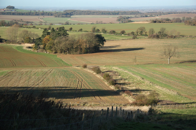
Hurn Wood is a picturesque woodland located in the county of Lincolnshire, England. Covering an area of approximately 25 hectares, it is situated near the village of Hurn, just a few miles south of the historic city of Lincoln.

The wood is a diverse mix of native tree species, including oak, beech, and birch, which create a dense canopy, providing shelter and a habitat for a wide variety of wildlife. The forest floor is carpeted with an array of wildflowers, ferns, and mosses, adding to the natural beauty of the area.

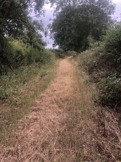
Hurn Wood is a popular destination for nature lovers and outdoor enthusiasts, offering a range of activities for visitors to enjoy. There are well-maintained walking trails that wind through the woodland, allowing visitors to explore and appreciate the serene surroundings. The wood also has designated picnic areas, providing a perfect spot for families and friends to relax and enjoy a meal surrounded by nature.

In addition to its natural beauty, Hurn Wood also holds historical significance. It is believed that the wood has been present for centuries, potentially dating back to medieval times. The ancient trees and the remnants of old stone walls and ditches serve as reminders of the area's rich history.

Overall, Hurn Wood is a tranquil and enchanting forest, offering a haven for wildlife and a peaceful escape for those seeking a connection with nature. Its combination of natural beauty and historical significance make it a cherished gem in the Lincolnshire countryside.

If you have any feedback on the listing, please let us know in the comments section below.
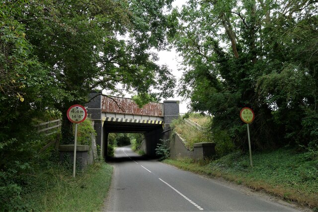
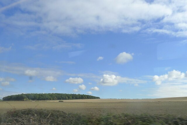
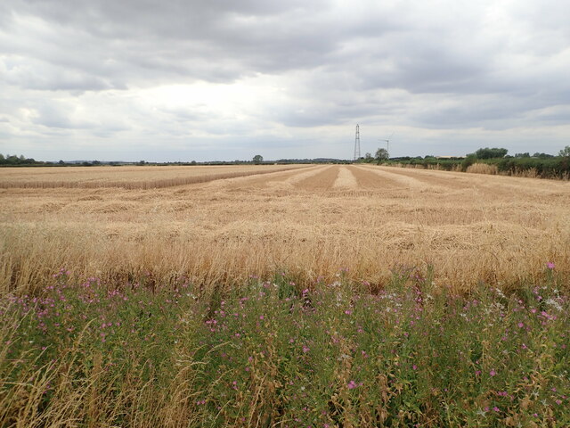
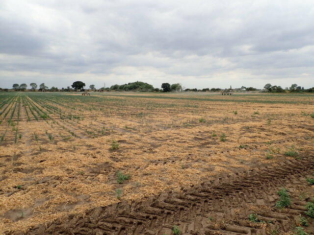
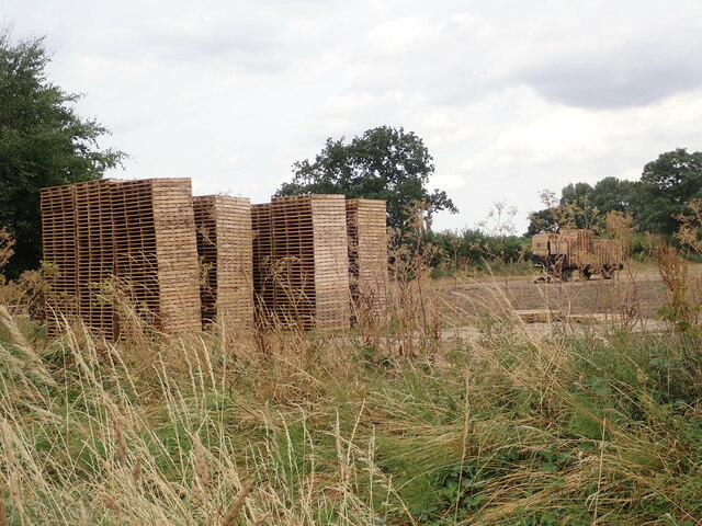
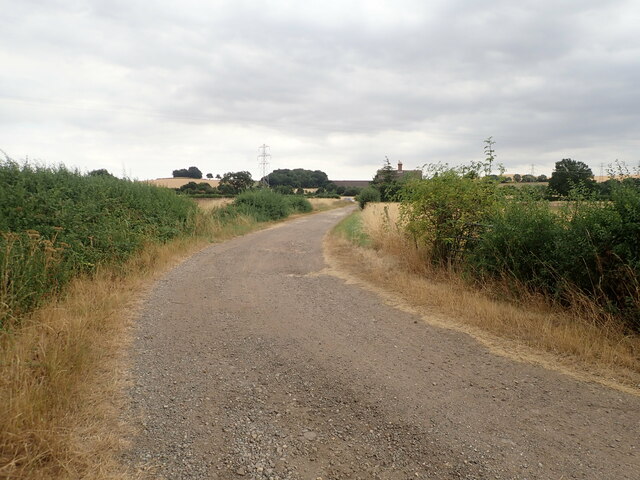
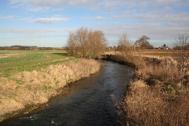
Hurn Wood Images

Images are sourced within 2km of 52.964891/-0.64668097 or Grid Reference SK9041. Thanks to Geograph Open Source API. All images are credited.

Bridge on Sand Lane Carrying the East Coast Main Line north of Grantham.
Bridge on Sand Lane
Carrying the East Coast Main Line north of Grantham.
Jericho Wood Sitting on the northern end of Great Gonerby's ridge.
This is a difficult square to Geograph, with no easy access other than by the occasional direct train between Grantham and Ancaster. And then, as the train speeds along just the few hundred yards not in a cutting (with trees obscuring the view over half of that), just seconds in which to take a picture.
Jericho Wood
Sitting on the northern end of Great Gonerby's ridge. This is a difficult square to Geograph, with no easy access other than by the occasional direct train between Grantham and Ancaster. And then, as the train speeds along just the few hundred yards not in a cutting (with trees obscuring the view over half of that), just seconds in which to take a picture.
Ploughed field with geese A large flock of, I think, Greylag Geese.
Ploughed field with geese
A large flock of, I think, Greylag Geese.
Part-harvested wheat field, near Marston
Patchy field of onions being irrigated
Gatekeeper Butterfly (Pyronia tithonus) Found where tall grasses grow close to hedges, trees or scrub. Typical habitats are along hedgerows and in woodland rides.
Gatekeeper Butterfly (Pyronia tithonus)
Found where tall grasses grow close to hedges, trees or scrub. Typical habitats are along hedgerows and in woodland rides.
Stacks of pallets at a field edge
Footpath Heading south towards Oakdale Farm
Footpath
Heading south towards Oakdale Farm
Oakdale Farm
Oakdale Farm
River Witham Looking north towards Barkston from Hambleton Bridge
River Witham
Looking north towards Barkston from Hambleton Bridge
Sand Lane Bridge Railway bridge on Sand Lane near Marston
Sand Lane Bridge
Railway bridge on Sand Lane near Marston
Entrance to Cliff Farm Jericho Wood on the horizon, <a href="https://www.geograph.org.uk/gridref/SK9040">SK9040</a>
Entrance to Cliff Farm
Jericho Wood on the horizon, SK9040
Cliff Lane near Marston, Lincolnshire
Farmland near Marston Carrots as far as the eye can see! Square Plantation in <a href="https://www.geograph.org.uk/gridref/SK9042">SK9042</a> on the horizon.
Farmland near Marston
Carrots as far as the eye can see! Square Plantation in SK9042 on the horizon.
Marston Bird Scrape Taken from the Viking Hide at the end of <a href="https://www.geograph.org.uk/photo/215759">SK8942 : Hidden path to the Viking Hide</a>, part of the Anglian Water Marston Sewerage Treatment site. See <a href="https://www.geograph.org.uk/photo/215758">SK8942 : Information board at Marston Bird Scrape</a> for information about the environmental management of this wetland site.
Marston Bird Scrape
Taken from the Viking Hide at the end of SK8942 : Hidden path to the Viking Hide, part of the Anglian Water Marston Sewerage Treatment site. See SK8942 : Information board at Marston Bird Scrape for information about the environmental management of this wetland site.
Information board at Marston Bird Scrape In the Viking Hide
Information board at Marston Bird Scrape
In the Viking Hide
Hidden path to the Viking Hide Just off the bridleway this narrow path leads to the birdwatching hide at Marston Bird Scrape. See <a href="https://www.geograph.org.uk/photo/215758">SK8942 : Information board at Marston Bird Scrape</a> for information. The hide has disabled access ramps although it would be hard going along the soft ground at the field edge from the roadside car park to this path.
Hidden path to the Viking Hide
Just off the bridleway this narrow path leads to the birdwatching hide at Marston Bird Scrape. See SK8942 : Information board at Marston Bird Scrape for information. The hide has disabled access ramps although it would be hard going along the soft ground at the field edge from the roadside car park to this path.
Farm track near Cliff Lane. Looking towards Oakdale Farm with a field of beans ready for harvesting.
Farm track near Cliff Lane.
Looking towards Oakdale Farm with a field of beans ready for harvesting.
Show me another place!

Hurn Wood is located at Grid Ref: SK9041 (Lat: 52.964891, Lng: -0.64668097)

Administrative County: Lincolnshire

District: South Kesteven

Police Authority: Lincolnshire

What 3 Words

///sailors.political.track. Near Great Gonerby, Lincolnshire

Related Wikis

Barkston railway station

Barkston railway station is a former station serving the village of Barkston, Lincolnshire. It was on the Great Northern Railway main line near to the...

Syston, Lincolnshire

Syston is a village and civil parish in the South Kesteven district of Lincolnshire, England. The population of the civil parish was 162 at the 2011 census...

Barkston

Barkston is an English village and civil parish in the South Kesteven district of Lincolnshire. The parish population was 497 at the 2001 census and 493...

Marston, Lincolnshire

Marston is a village and civil parish in the South Kesteven district of Lincolnshire, England. The population of the civil parish at the 2011 census was...

Belton and Manthorpe

Belton and Manthorpe is a civil parish in the South Kesteven district of Lincolnshire, England, consisting of Belton and Manthorpe, just north of Grantham...

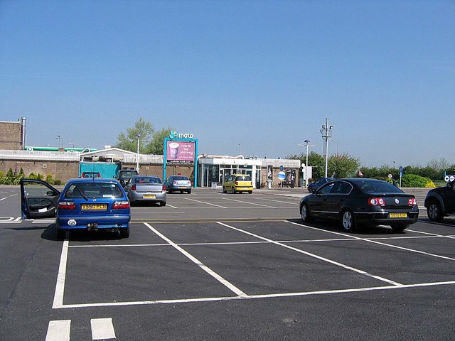
Grantham North services

Grantham North Services is a service area operated by Moto located on the A1 at Gonerby Moor Roundabout, four miles north of Grantham in Lincolnshire,...

Belton, South Kesteven

Belton is a village in the civil parish of Belton and Manthorpe, in the South Kesteven district of Lincolnshire, England. It is situated on the A607 road...

St Peter and St Paul's Church, Belton

The Church of St Peter and St Paul, Belton, South Kesteven, Lincolnshire is a functioning parish church and a Grade I listed building. Since the 17th century...

Nearby Amenities

Located within 500m of 52.964891,-0.64668097
Barkston South Junction
Railway: junction
Lat/Long: 52.9671145/-0.6427638
Power: pole
Lat/Long: 52.9669682/-0.6419252
Power: pole
Lat/Long: 52.9673354/-0.6407909
The data included in this document is from www.openstreetmap.org. The data is made available under ODbL.

Have you been to Hurn Wood?

Leave your review of Hurn Wood below (or comments, questions and feedback).