Keeper's Plantation

Wood, Forest in Lincolnshire South Kesteven

England

Keeper's Plantation

Bridge on Sand Lane Carrying the East Coast Main Line north of Grantham.
Bridge on Sand Lane Credit: Tim Heaton

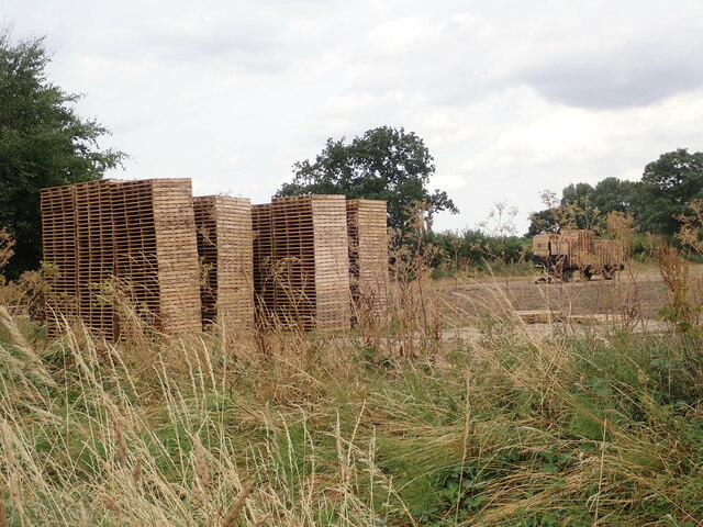
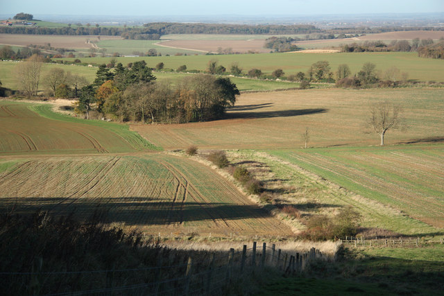
Keeper's Plantation is a picturesque woodland located in Lincolnshire, England. Spread across a vast area, it is a part of the larger wood and forest region in the county. The plantation is known for its diverse range of flora and fauna, making it a popular destination for nature enthusiasts and wildlife lovers.

The plantation is characterized by dense, towering trees that create a serene and peaceful atmosphere. The dominant tree species found here include oak, beech, and birch. The lush undergrowth is adorned with vibrant wildflowers, adding a splash of color to the landscape during the blooming season.

Keeper's Plantation is home to a rich variety of wildlife. Visitors may encounter a wide array of bird species, including woodpeckers, owls, and songbirds, making it a birdwatcher's paradise. The woodland also provides a habitat for mammals such as foxes, deer, and squirrels. Observing these creatures in their natural habitat is a common sight for those exploring the plantation.

The plantation offers several walking trails, allowing visitors to immerse themselves in the beauty of nature. These trails are well-maintained and provide easy access to different areas of the woodland. Additionally, there are designated picnic spots and benches, providing opportunities to relax and enjoy a peaceful outdoor meal amidst the tranquility of the woodland.

Overall, Keeper's Plantation in Lincolnshire is a captivating destination for nature enthusiasts and those seeking a peaceful retreat. Its breathtaking scenery, diverse wildlife, and well-maintained trails make it an ideal place for individuals and families to explore and connect with the natural world.

If you have any feedback on the listing, please let us know in the comments section below.

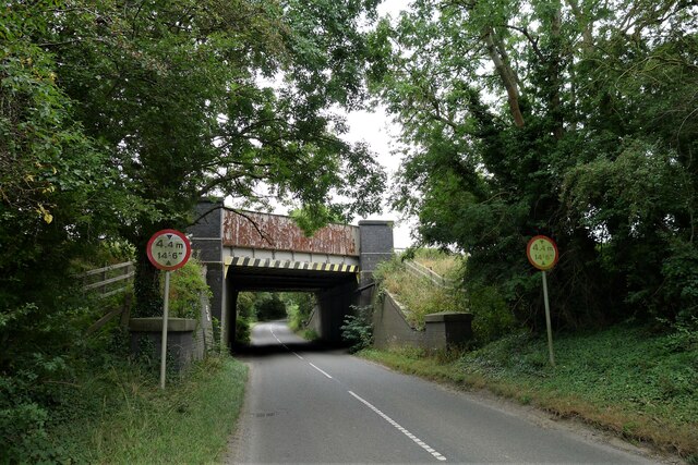
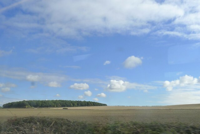
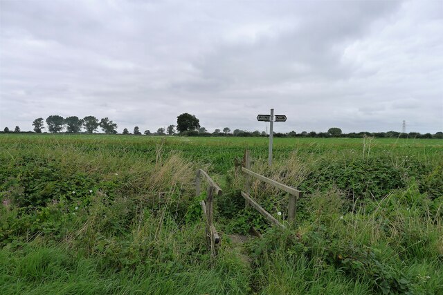
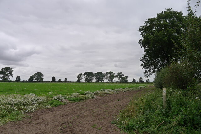
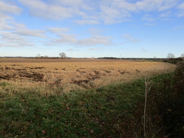
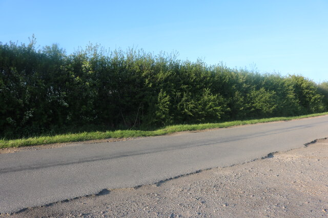
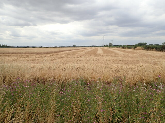
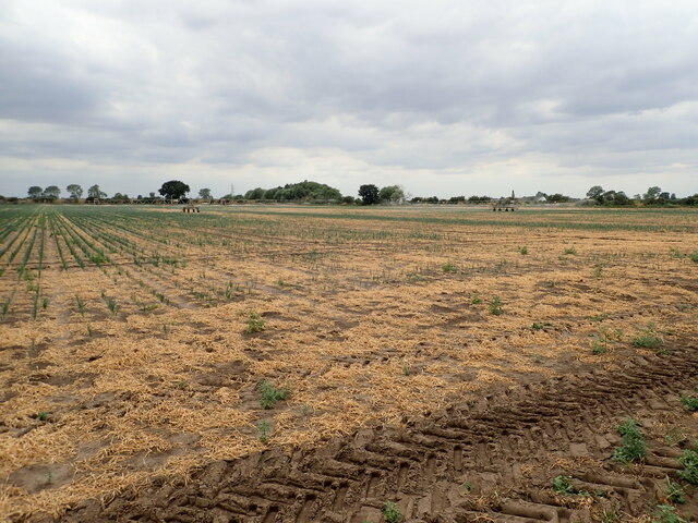
Keeper's Plantation Images

Images are sourced within 2km of 52.9665/-0.65860226 or Grid Reference SK9041. Thanks to Geograph Open Source API. All images are credited.

Bridge on Sand Lane Carrying the East Coast Main Line north of Grantham.
Bridge on Sand Lane
Carrying the East Coast Main Line north of Grantham.
Jericho Wood Sitting on the northern end of Great Gonerby's ridge.
This is a difficult square to Geograph, with no easy access other than by the occasional direct train between Grantham and Ancaster. And then, as the train speeds along just the few hundred yards not in a cutting (with trees obscuring the view over half of that), just seconds in which to take a picture.
Jericho Wood
Sitting on the northern end of Great Gonerby's ridge. This is a difficult square to Geograph, with no easy access other than by the occasional direct train between Grantham and Ancaster. And then, as the train speeds along just the few hundred yards not in a cutting (with trees obscuring the view over half of that), just seconds in which to take a picture.
Footpath crossing bridleway off Green Lane The bridge carries a footpath north to Tollbar Road. The bridleway runs left-right along field boundaries next to the road, and appears little used.
Footpath crossing bridleway off Green Lane
The bridge carries a footpath north to Tollbar Road. The bridleway runs left-right along field boundaries next to the road, and appears little used.
Footpath by a field of carrots The fine, sandy soil, devoid of stones, is ideal for carrots.
Footpath by a field of carrots
The fine, sandy soil, devoid of stones, is ideal for carrots.
Marston Hall Largely of from the late sixteenth to the early eighteenth centuries <span class="nowrap"><a title="https://historicengland.org.uk/listing/the-list/list-entry/1062854?section=official-listing" rel="nofollow ugc noopener" href="https://historicengland.org.uk/listing/the-list/list-entry/1062854?section=official-listing">Link</a><img style="margin-left:2px;" alt="External link" title="External link - shift click to open in new window" src="https://s1.geograph.org.uk/img/external.png" width="10" height="10"/></span>
Marston Hall
Largely of from the late sixteenth to the early eighteenth centuries LinkExternal link
Manor House Farm, Marston Early eighteenth century farmhouse <span class="nowrap"><a title="https://historicengland.org.uk/listing/the-list/list-entry/1146940?section=official-listing" rel="nofollow ugc noopener" href="https://historicengland.org.uk/listing/the-list/list-entry/1146940?section=official-listing">Link</a><img style="margin-left:2px;" alt="External link" title="External link - shift click to open in new window" src="https://s1.geograph.org.uk/img/external.png" width="10" height="10"/></span>
Manor House Farm, Marston
Early eighteenth century farmhouse LinkExternal link
Mill Farmhouse, Marston Eighteenth century farmhouse <span class="nowrap"><a title="https://historicengland.org.uk/listing/the-list/list-entry/1062855?section=official-listing" rel="nofollow ugc noopener" href="https://historicengland.org.uk/listing/the-list/list-entry/1062855?section=official-listing">Link</a><img style="margin-left:2px;" alt="External link" title="External link - shift click to open in new window" src="https://s1.geograph.org.uk/img/external.png" width="10" height="10"/></span>
Mill Farmhouse, Marston
Eighteenth century farmhouse LinkExternal link
Toft House, Marston Early nineteenth century farmhouse with a slightly older core <span class="nowrap"><a title="https://historicengland.org.uk/listing/the-list/list-entry/1253514?section=official-listing" rel="nofollow ugc noopener" href="https://historicengland.org.uk/listing/the-list/list-entry/1253514?section=official-listing">Link</a><img style="margin-left:2px;" alt="External link" title="External link - shift click to open in new window" src="https://s1.geograph.org.uk/img/external.png" width="10" height="10"/></span>
Toft House, Marston
Early nineteenth century farmhouse with a slightly older core LinkExternal link
Ponies grazing at Marston
Ploughed field with geese A large flock of, I think, Greylag Geese.
Ploughed field with geese
A large flock of, I think, Greylag Geese.
Stubble field off Green Lane near Marston
Tollbar Road, Marston
Green Lane, Marston
Green Lane, Marston
Part-harvested wheat field, near Marston
Patchy field of onions being irrigated
Gatekeeper Butterfly (Pyronia tithonus) Found where tall grasses grow close to hedges, trees or scrub. Typical habitats are along hedgerows and in woodland rides.
Gatekeeper Butterfly (Pyronia tithonus)
Found where tall grasses grow close to hedges, trees or scrub. Typical habitats are along hedgerows and in woodland rides.
Stacks of pallets at a field edge
Old Post Office, Marston Now a des res
Old Post Office, Marston
Now a des res
Show me another place!

Keeper's Plantation is located at Grid Ref: SK9041 (Lat: 52.9665, Lng: -0.65860226)

Administrative County: Lincolnshire

District: South Kesteven

Police Authority: Lincolnshire

What 3 Words

///soaps.singled.tame. Near Great Gonerby, Lincolnshire

Related Wikis

Barkston railway station

Barkston railway station is a former station serving the village of Barkston, Lincolnshire. It was on the Great Northern Railway main line near to the...

Marston, Lincolnshire

Marston is a village and civil parish in the South Kesteven district of Lincolnshire, England. The population of the civil parish at the 2011 census was...

Grantham North services

Grantham North Services is a service area operated by Moto located on the A1 at Gonerby Moor Roundabout, four miles north of Grantham in Lincolnshire,...

Hougham railway station

Hougham railway station is a former railway station in Hougham, Lincolnshire. The station was about a mile east of the village of Hougham itself and was...

Syston, Lincolnshire

Syston is a village and civil parish in the South Kesteven district of Lincolnshire, England. The population of the civil parish was 162 at the 2011 census...

Barkston

Barkston is an English village and civil parish in the South Kesteven district of Lincolnshire. The parish population was 497 at the 2001 census and 493...

Hougham, Lincolnshire

Hougham () is a village and civil parish in the South Kesteven district of Lincolnshire, England, 6 miles (10 km) north from Grantham. The village of Marston...

Belton and Manthorpe

Belton and Manthorpe is a civil parish in the South Kesteven district of Lincolnshire, England, consisting of Belton and Manthorpe, just north of Grantham...

Nearby Amenities

Located within 500m of 52.9665,-0.65860226
Keeper's Cottage
Place: isolated_dwelling
Source: Bing
Lat/Long: 52.9673778/-0.6588116
The data included in this document is from www.openstreetmap.org. The data is made available under ODbL.

Have you been to Keeper's Plantation?

Leave your review of Keeper's Plantation below (or comments, questions and feedback).