Ogden's Wood

Wood, Forest in Lincolnshire South Kesteven

England

Ogden's Wood

Jericho Wood Sitting on the northern end of Great Gonerby's ridge.
This is a difficult square to Geograph, with no easy access other than by the occasional direct train between Grantham and Ancaster. And then, as the train speeds along just the few hundred yards not in a cutting (with trees obscuring the view over half of that), just seconds in which to take a picture.
Jericho Wood Credit: Tim Heaton

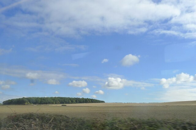
Ogden's Wood is a picturesque forest located in the county of Lincolnshire, England. Covering an area of approximately 500 acres, this enchanting woodland is characterized by its dense canopy of towering trees, diverse flora, and abundant wildlife.

The wood is predominantly composed of deciduous trees such as oak, beech, and birch, which create a vibrant mosaic of colors during the autumn months. The forest floor is adorned with a rich carpet of wildflowers, including bluebells, primroses, and wood anemones, adding to the natural beauty of the area.

Walking through Ogden's Wood, visitors are treated to a serene and peaceful atmosphere. The sound of birdsong fills the air, with species such as woodpeckers, thrushes, and warblers frequently spotted among the branches. The forest also provides a habitat for a variety of mammals, including deer, foxes, and squirrels.

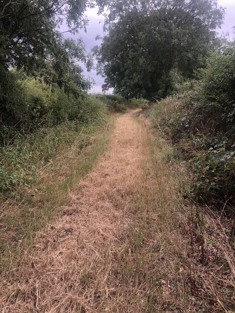
Several well-maintained trails wind their way through the woodland, offering visitors the opportunity to explore its beauty and immerse themselves in nature. These paths are popular among hikers, nature lovers, and photographers, who are drawn to the tranquil surroundings and abundant photo opportunities.

Ogden's Wood is not only a haven for wildlife but also serves as an important conservation area. The forest is carefully managed to maintain its ecological balance, with ongoing efforts to protect and preserve its unique biodiversity.

Overall, Ogden's Wood in Lincolnshire is a captivating and idyllic forest, providing a sanctuary for wildlife and a peaceful retreat for visitors seeking to connect with nature.

If you have any feedback on the listing, please let us know in the comments section below.
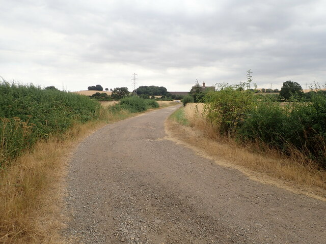
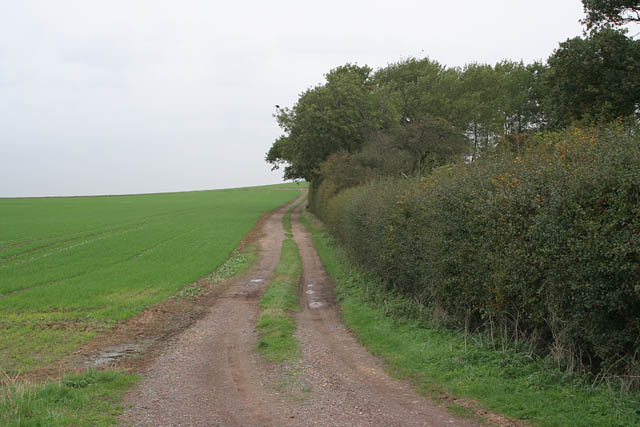
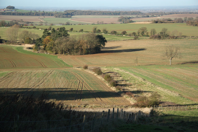
Ogden's Wood Images

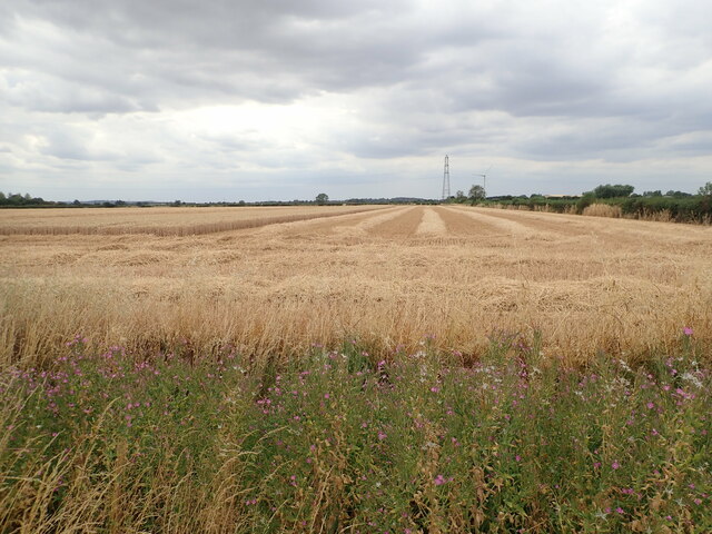
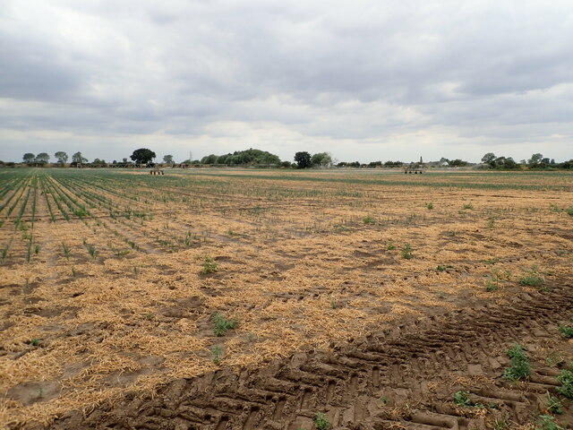
Images are sourced within 2km of 52.959762/-0.6542105 or Grid Reference SK9041. Thanks to Geograph Open Source API. All images are credited.

Jericho Wood Sitting on the northern end of Great Gonerby's ridge.
This is a difficult square to Geograph, with no easy access other than by the occasional direct train between Grantham and Ancaster. And then, as the train speeds along just the few hundred yards not in a cutting (with trees obscuring the view over half of that), just seconds in which to take a picture.
Jericho Wood
Sitting on the northern end of Great Gonerby's ridge. This is a difficult square to Geograph, with no easy access other than by the occasional direct train between Grantham and Ancaster. And then, as the train speeds along just the few hundred yards not in a cutting (with trees obscuring the view over half of that), just seconds in which to take a picture.
Part-harvested wheat field, near Marston
Patchy field of onions being irrigated
Gatekeeper Butterfly (Pyronia tithonus) Found where tall grasses grow close to hedges, trees or scrub. Typical habitats are along hedgerows and in woodland rides.
Gatekeeper Butterfly (Pyronia tithonus)
Found where tall grasses grow close to hedges, trees or scrub. Typical habitats are along hedgerows and in woodland rides.
Footpath Heading south towards Oakdale Farm
Footpath
Heading south towards Oakdale Farm
Oakdale Farm
Oakdale Farm
Derelict buildings at Mickling Farm
Sand Lane Bridge Railway bridge on Sand Lane near Marston
Sand Lane Bridge
Railway bridge on Sand Lane near Marston
Green Lane near Marston The bridleway goes across the fields to Tollbar Road, crossing the deep roadside ditch by a wooden bridge. The ditch was dry after a long hot spell but the bulrushes were still flourishing.
Green Lane near Marston
The bridleway goes across the fields to Tollbar Road, crossing the deep roadside ditch by a wooden bridge. The ditch was dry after a long hot spell but the bulrushes were still flourishing.
Entrance to Cliff Farm Jericho Wood on the horizon, <a href="https://www.geograph.org.uk/gridref/SK9040">SK9040</a>
Entrance to Cliff Farm
Jericho Wood on the horizon, SK9040
Cliff Lane near Marston, Lincolnshire
Farmland near Marston Carrots as far as the eye can see! Square Plantation in <a href="https://www.geograph.org.uk/gridref/SK9042">SK9042</a> on the horizon.
Farmland near Marston
Carrots as far as the eye can see! Square Plantation in SK9042 on the horizon.
Marston Bird Scrape Taken from the Viking Hide at the end of <a href="https://www.geograph.org.uk/photo/215759">SK8942 : Hidden path to the Viking Hide</a>, part of the Anglian Water Marston Sewerage Treatment site. See <a href="https://www.geograph.org.uk/photo/215758">SK8942 : Information board at Marston Bird Scrape</a> for information about the environmental management of this wetland site.
Marston Bird Scrape
Taken from the Viking Hide at the end of SK8942 : Hidden path to the Viking Hide, part of the Anglian Water Marston Sewerage Treatment site. See SK8942 : Information board at Marston Bird Scrape for information about the environmental management of this wetland site.
Information board at Marston Bird Scrape In the Viking Hide
Information board at Marston Bird Scrape
In the Viking Hide
Hidden path to the Viking Hide Just off the bridleway this narrow path leads to the birdwatching hide at Marston Bird Scrape. See <a href="https://www.geograph.org.uk/photo/215758">SK8942 : Information board at Marston Bird Scrape</a> for information. The hide has disabled access ramps although it would be hard going along the soft ground at the field edge from the roadside car park to this path.
Hidden path to the Viking Hide
Just off the bridleway this narrow path leads to the birdwatching hide at Marston Bird Scrape. See SK8942 : Information board at Marston Bird Scrape for information. The hide has disabled access ramps although it would be hard going along the soft ground at the field edge from the roadside car park to this path.
Farm track near Cliff Lane. Looking towards Oakdale Farm with a field of beans ready for harvesting.
Farm track near Cliff Lane.
Looking towards Oakdale Farm with a field of beans ready for harvesting.
A1 at Gonerby Moor Looking towards the Gonerby Moor roundabout. College Farm is on the left and <a href="https://www.geograph.org.uk/photo/155052">SK8839 : Gonerby Moor Retail Park</a> is straight ahead.
A1 at Gonerby Moor
Looking towards the Gonerby Moor roundabout. College Farm is on the left and SK8839 : Gonerby Moor Retail Park is straight ahead.
Aubry's Screed near Syston This farm track turns right off River Lane, itself a similar track which turns south to Little Oak Wood. Aubry's Screed, on the left, is a narrow belt of mixed woodland which climbs Hambleton Hill. The grid square boundary goes across the picture just where the track disappears from view.
Aubry's Screed near Syston
This farm track turns right off River Lane, itself a similar track which turns south to Little Oak Wood. Aubry's Screed, on the left, is a narrow belt of mixed woodland which climbs Hambleton Hill. The grid square boundary goes across the picture just where the track disappears from view.
Show me another place!

Ogden's Wood is located at Grid Ref: SK9041 (Lat: 52.959762, Lng: -0.6542105)

Administrative County: Lincolnshire

District: South Kesteven

Police Authority: Lincolnshire

What 3 Words

///walks.stole.ferried. Near Great Gonerby, Lincolnshire

Related Wikis

Barkston railway station

Barkston railway station is a former station serving the village of Barkston, Lincolnshire. It was on the Great Northern Railway main line near to the...

Grantham North services

Grantham North Services is a service area operated by Moto located on the A1 at Gonerby Moor Roundabout, four miles north of Grantham in Lincolnshire,...

Belton and Manthorpe

Belton and Manthorpe is a civil parish in the South Kesteven district of Lincolnshire, England, consisting of Belton and Manthorpe, just north of Grantham...

Syston, Lincolnshire

Syston is a village and civil parish in the South Kesteven district of Lincolnshire, England. The population of the civil parish was 162 at the 2011 census...

Nearby Amenities

Located within 500m of 52.959762,-0.6542105
Jericho Farm
Place: farm
Source: Bing
Lat/Long: 52.9587313/-0.6474923
The data included in this document is from www.openstreetmap.org. The data is made available under ODbL.

Have you been to Ogden's Wood?

Leave your review of Ogden's Wood below (or comments, questions and feedback).