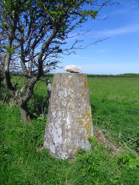
Abbey Plantation
Wood, Forest in Yorkshire Ryedale
England
Abbey Plantation
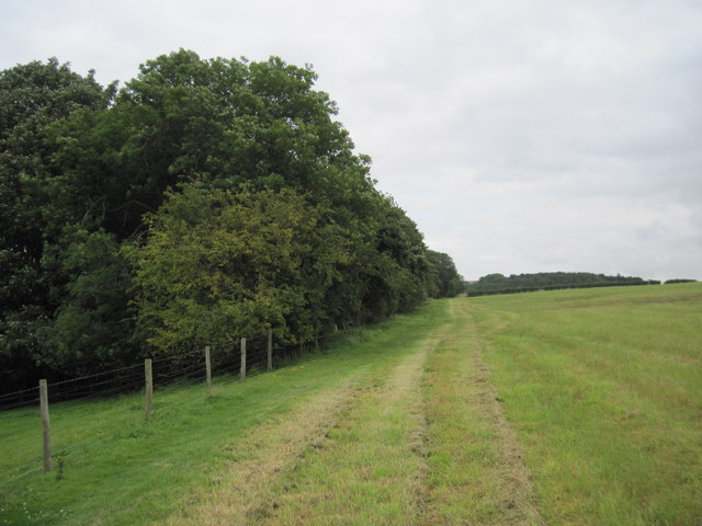
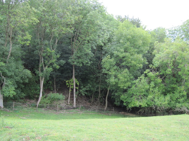
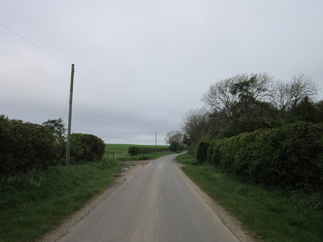
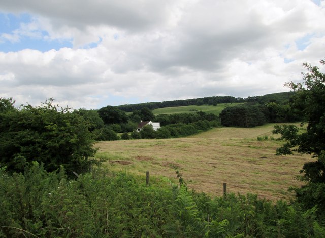
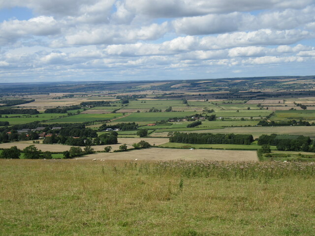
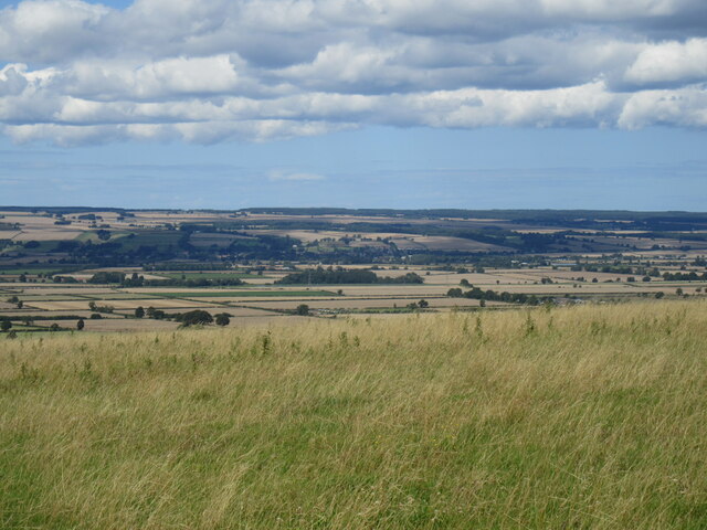
Abbey Plantation, located in Yorkshire, is a picturesque woodland area known for its natural beauty and historical significance. Spread across several acres, it is a haven for nature enthusiasts and history buffs alike.
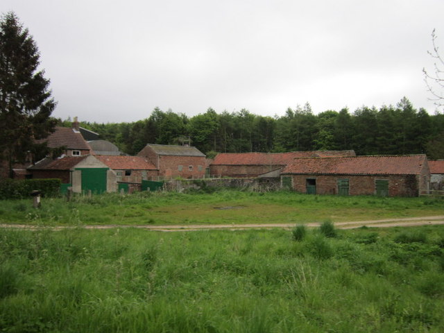
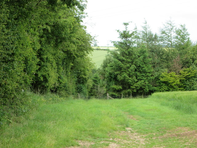
The plantation is named after the nearby Abbey, which dates back to the medieval period. The ruins of the Abbey stand as a testament to its once grand stature and offer visitors a glimpse into the region's rich past. The plantation itself is home to a diverse range of flora and fauna, with ancient trees providing a canopy of shade and a sense of tranquility.
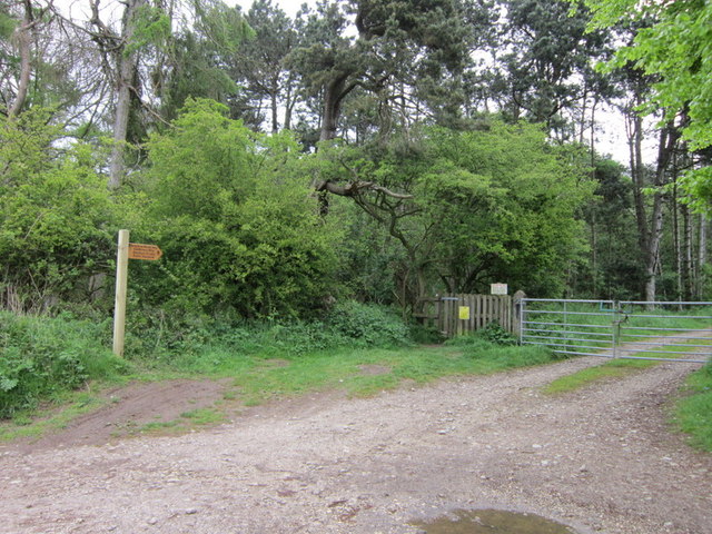
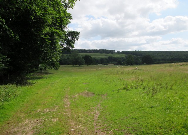
Visitors to Abbey Plantation can enjoy leisurely walks along well-maintained paths that wind through the woodland. The plantation is particularly renowned for its vibrant autumn colors, attracting photographers and artists who seek to capture the beauty of the changing seasons. The peaceful atmosphere and the sound of birdsong make it an ideal spot for nature lovers to relax and unwind.
In addition to its natural beauty, Abbey Plantation offers recreational activities such as picnicking and wildlife spotting. Birdwatchers can spot various species, including woodpeckers, owls, and songbirds, while the more adventurous can explore the plantation's hidden nooks and crannies.
Abbey Plantation is a must-visit destination for those seeking a combination of natural splendor and a glimpse into Yorkshire's history. Whether it's a leisurely stroll, a family outing, or an educational trip, this woodland gem promises a memorable experience for all who visit.
If you have any feedback on the listing, please let us know in the comments section below.
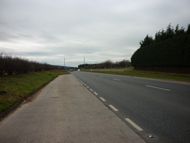
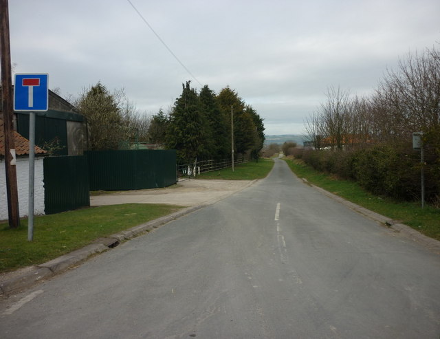
Abbey Plantation Images
Images are sourced within 2km of 54.161781/-0.61574101 or Grid Reference SE9074. Thanks to Geograph Open Source API. All images are credited.

Abbey Plantation is located at Grid Ref: SE9074 (Lat: 54.161781, Lng: -0.61574101)
Division: East Riding
Administrative County: North Yorkshire
District: Ryedale
Police Authority: North Yorkshire
What 3 Words
///buckets.horizons.splinters. Near Rillington, North Yorkshire
Nearby Locations
Related Wikis

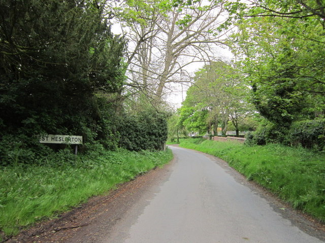
West Heslerton
West Heslerton is a village and former civil parish, now in the parish of Heslerton, in North Yorkshire, England, 6 miles (10 km) southeast of Pickering...

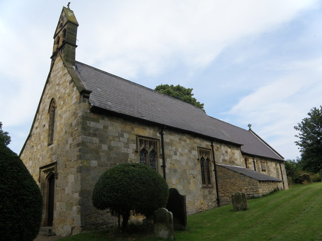
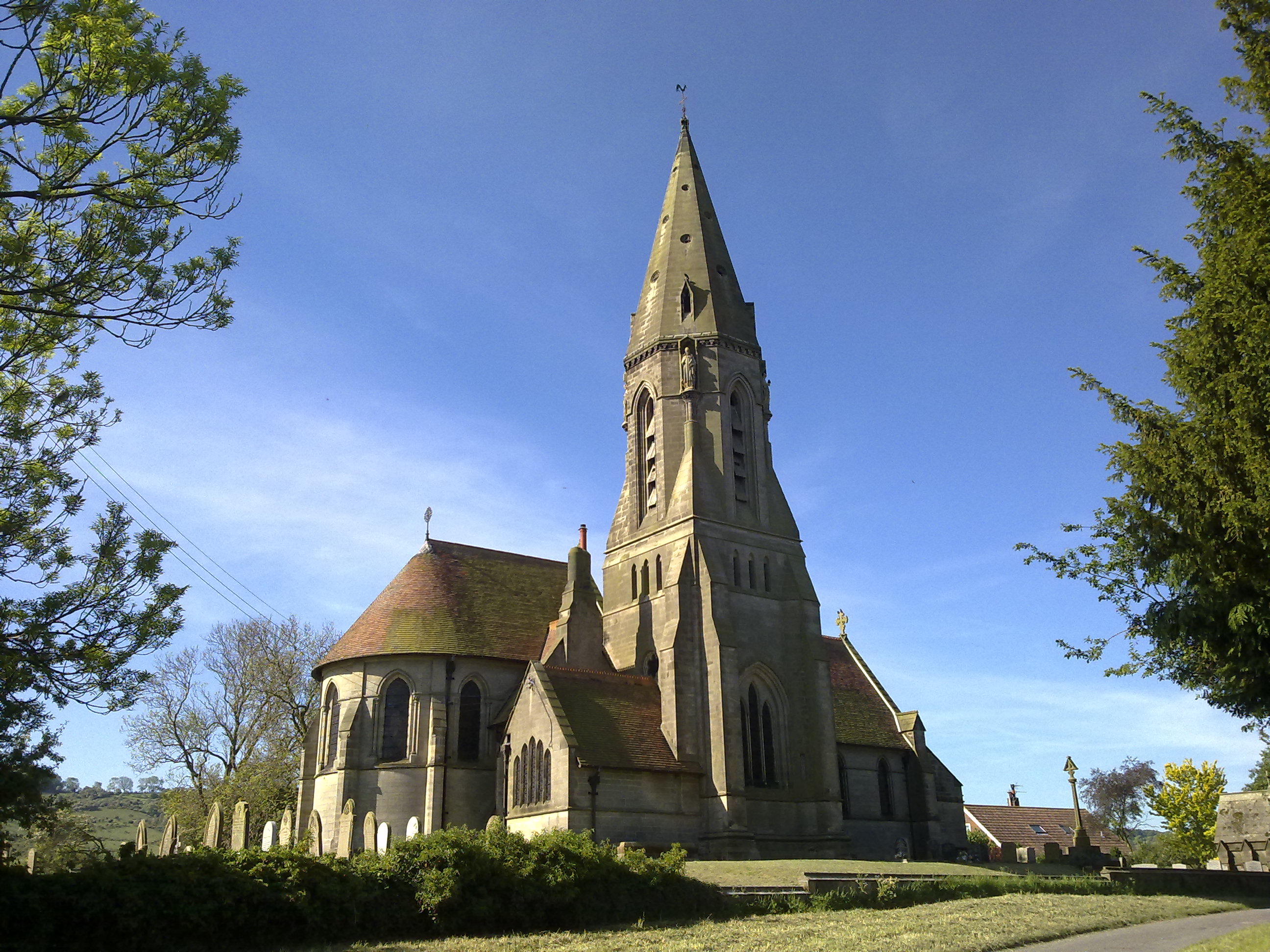
St Peter's Church, Wintringham
St Peter's Church is a redundant Anglican church in the village of Wintringham, North Yorkshire, England (grid reference SE 887 731). It is recorded in...

East Knapton
East Knapton is a village in the civil parish of Scampston, in North Yorkshire, England. Until 1974 the village lay in the historic county boundaries of...

Heslerton railway station
Heslerton railway station was a minor railway station serving the villages of East Heslerton and West Heslerton in North Yorkshire, England. Located on...
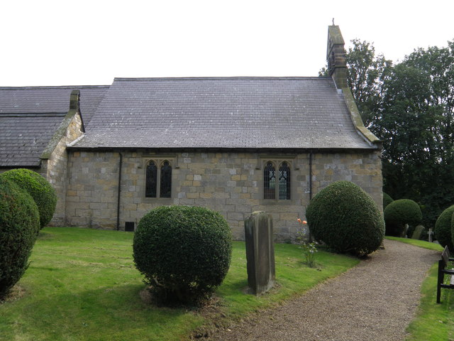
St Andrew's Church, East Heslerton
St Andrew's Church is a redundant Anglican church at the south end of the village of East Heslerton, North Yorkshire, England. It is recorded in the National...

West Knapton
West Knapton is a small village in the civil parish of Scampston, in North Yorkshire, England. It is situated on the edge of the Yorkshire Wolds at the...

Wintringham, North Yorkshire
Wintringham is a village and civil parish in North Yorkshire, England. The village is near the A64 road and 6 miles (9.7 km) east of Malton. Two long...

East Heslerton
East Heslerton is a village in the civil parish of Heslerton, near Malton, in North Yorkshire, England. It lies between the villages of West Heslerton...
Nearby Amenities
Located within 500m of 54.161781,-0.61574101Have you been to Abbey Plantation?
Leave your review of Abbey Plantation below (or comments, questions and feedback).