Rook Wood
Wood, Forest in Sussex Chichester
England
Rook Wood

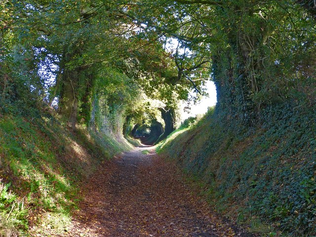
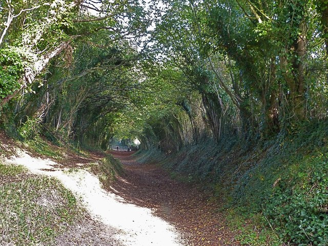
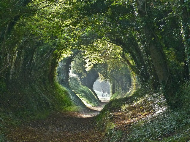
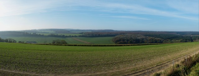
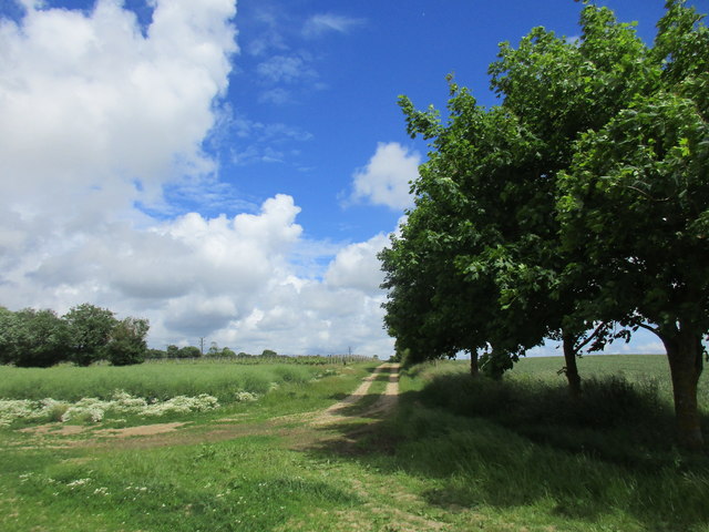
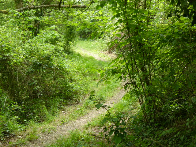
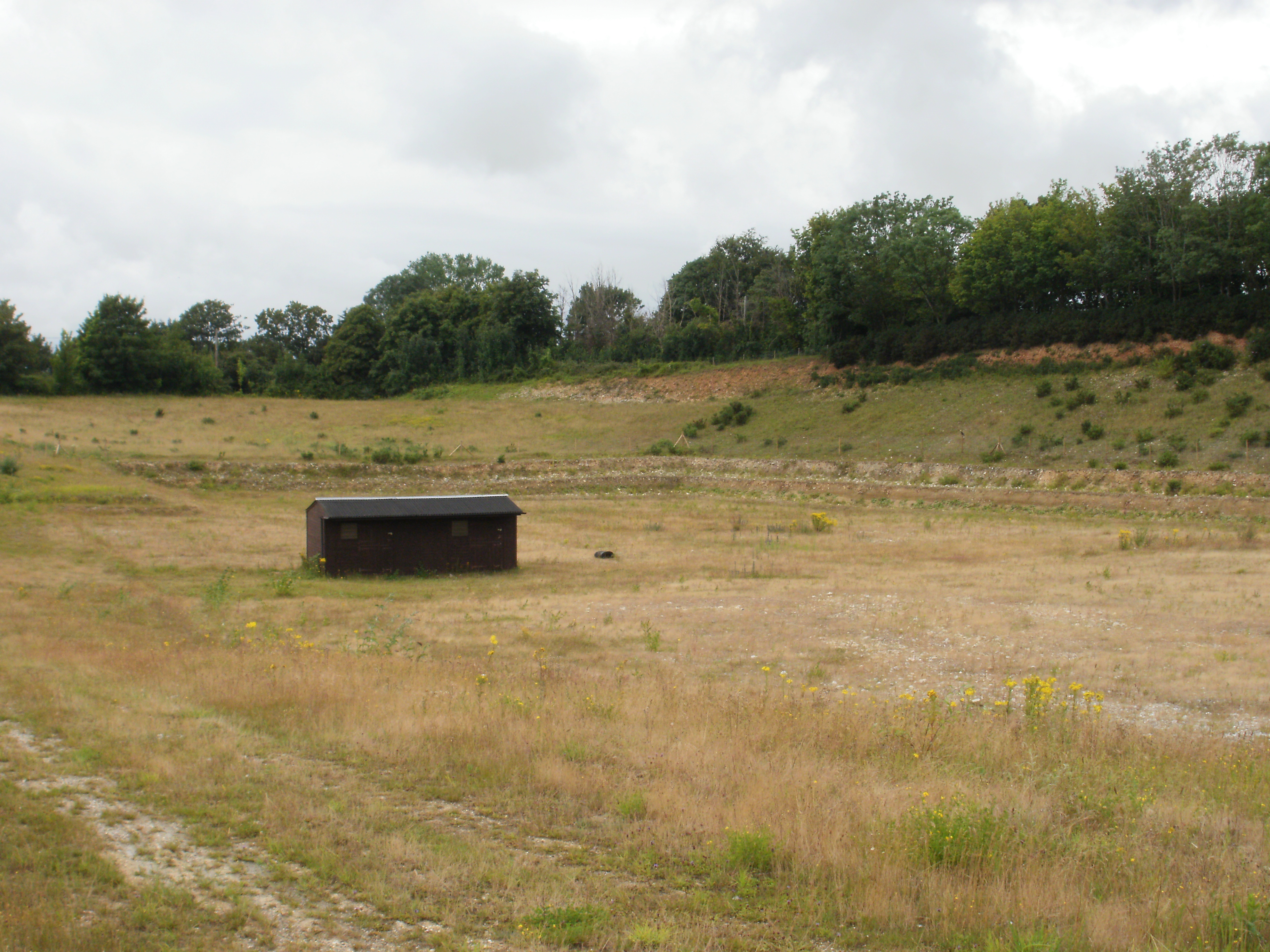
Rook Wood, located in the county of Sussex, England, is a picturesque and serene forest known for its rich biodiversity and natural beauty. Covering a vast area, the wood is a popular recreational spot for locals and tourists alike.
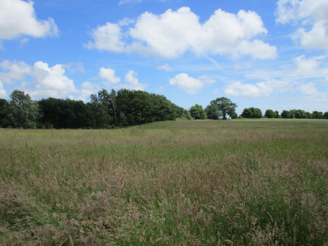
The forest is characterized by its dense canopy of oak, beech, and birch trees, which provide a welcoming shade during the summer months. In addition to these dominant tree species, Rook Wood is also home to a variety of other flora, including wildflowers, ferns, and mosses, creating a vibrant and diverse ecosystem.
The wood is teeming with wildlife, making it a haven for nature enthusiasts and birdwatchers. Visitors may catch a glimpse of resident fauna such as roe deer, foxes, badgers, rabbits, and squirrels, as well as a plethora of bird species, including woodpeckers, owls, and various songbirds. The tranquil atmosphere of Rook Wood is often interrupted by the melodic chirping of birds or the rustling of leaves as animals scuttle through the undergrowth.
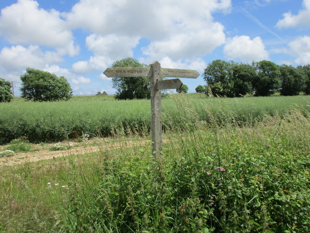
Hiking and walking trails crisscross the forest, allowing visitors to explore its hidden corners and admire its natural wonders. These trails cater to all levels of fitness and offer breathtaking views of the surrounding countryside. Moreover, Rook Wood features several picnic areas and benches, providing the perfect setting for a peaceful outdoor lunch or a moment of relaxation.
Overall, Rook Wood, Sussex, is a captivating destination for those seeking a connection with nature. Its enchanting woodland, diverse wildlife, and well-maintained trails make it an ideal location for outdoor activities and a sanctuary for anyone yearning for a respite from the hustle and bustle of everyday life.
If you have any feedback on the listing, please let us know in the comments section below.
Rook Wood Images
Images are sourced within 2km of 50.87652/-0.71537725 or Grid Reference SU9009. Thanks to Geograph Open Source API. All images are credited.


Rook Wood is located at Grid Ref: SU9009 (Lat: 50.87652, Lng: -0.71537725)
Administrative County: West Sussex
District: Chichester
Police Authority: Sussex
What 3 Words
///piano.oath.overdone. Near Boxgrove, West Sussex
Related Wikis
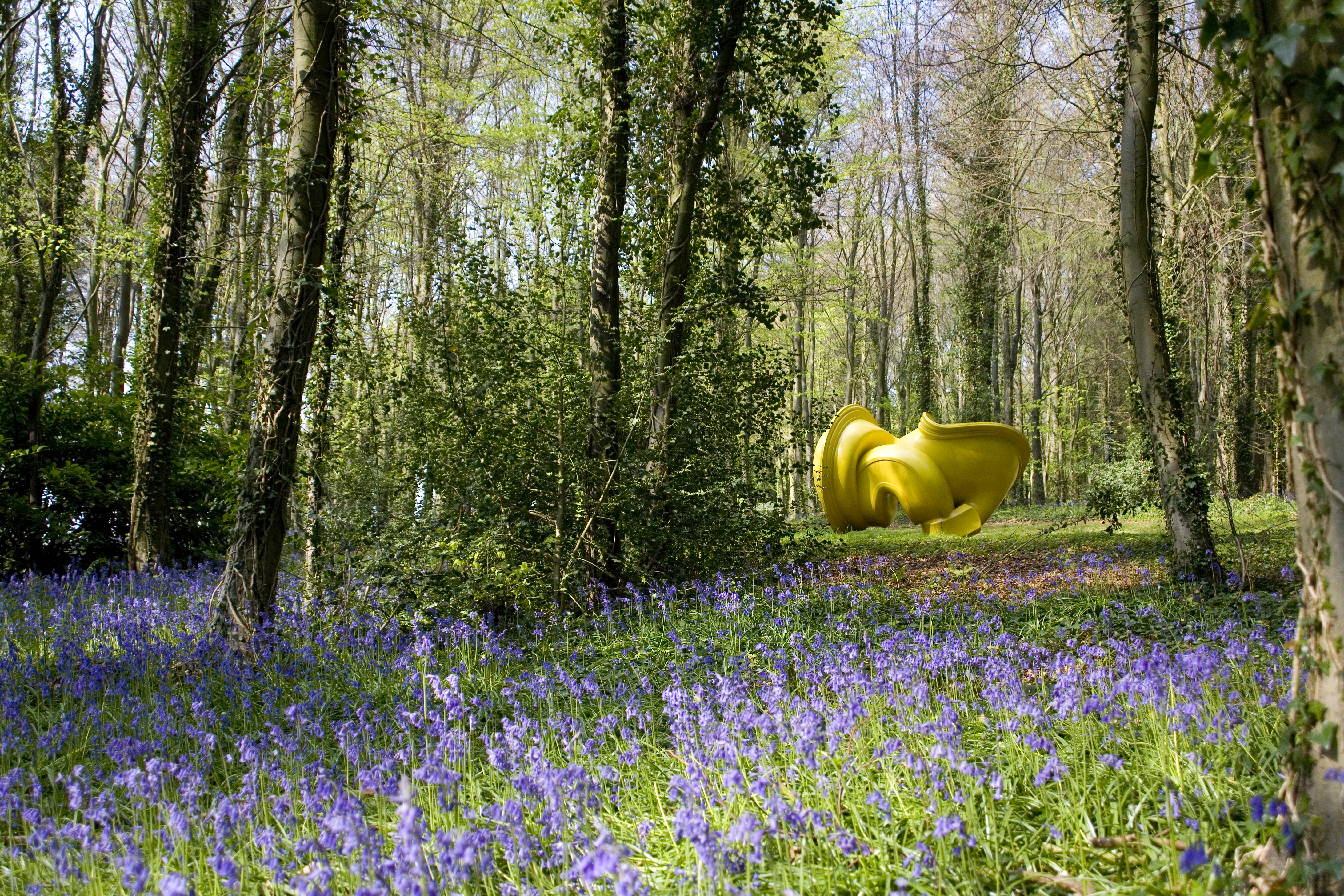
Cass Sculpture Foundation
The Cass Sculpture Foundation was a charitable commissioning body based in Goodwood, Sussex, England. The Foundation's 26-acre grounds were home to an...

Halnaker
Halnaker is a hamlet in the Chichester district of West Sussex, England. It lies on the A285 road 3.5 miles (5.6 km) northeast of Chichester, where it...
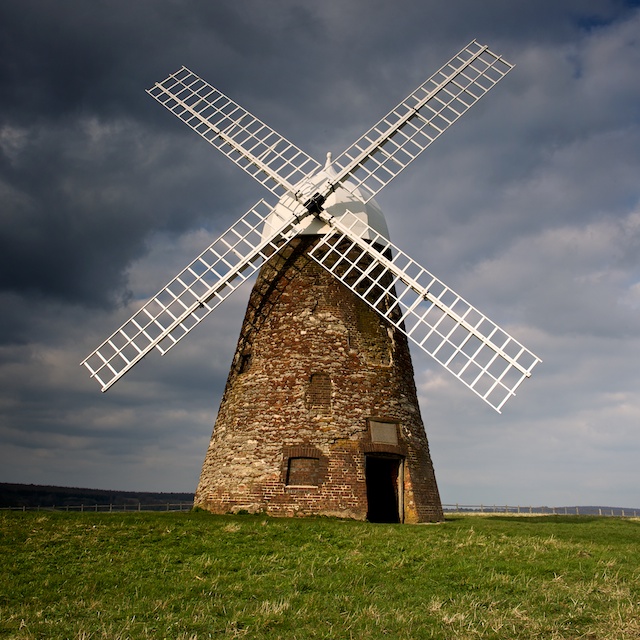
Halnaker Windmill
Halnaker Windmill is a tower mill which stands on Halnaker Hill, northeast of Chichester, Sussex, England. The mill is reached by a public footpath from...
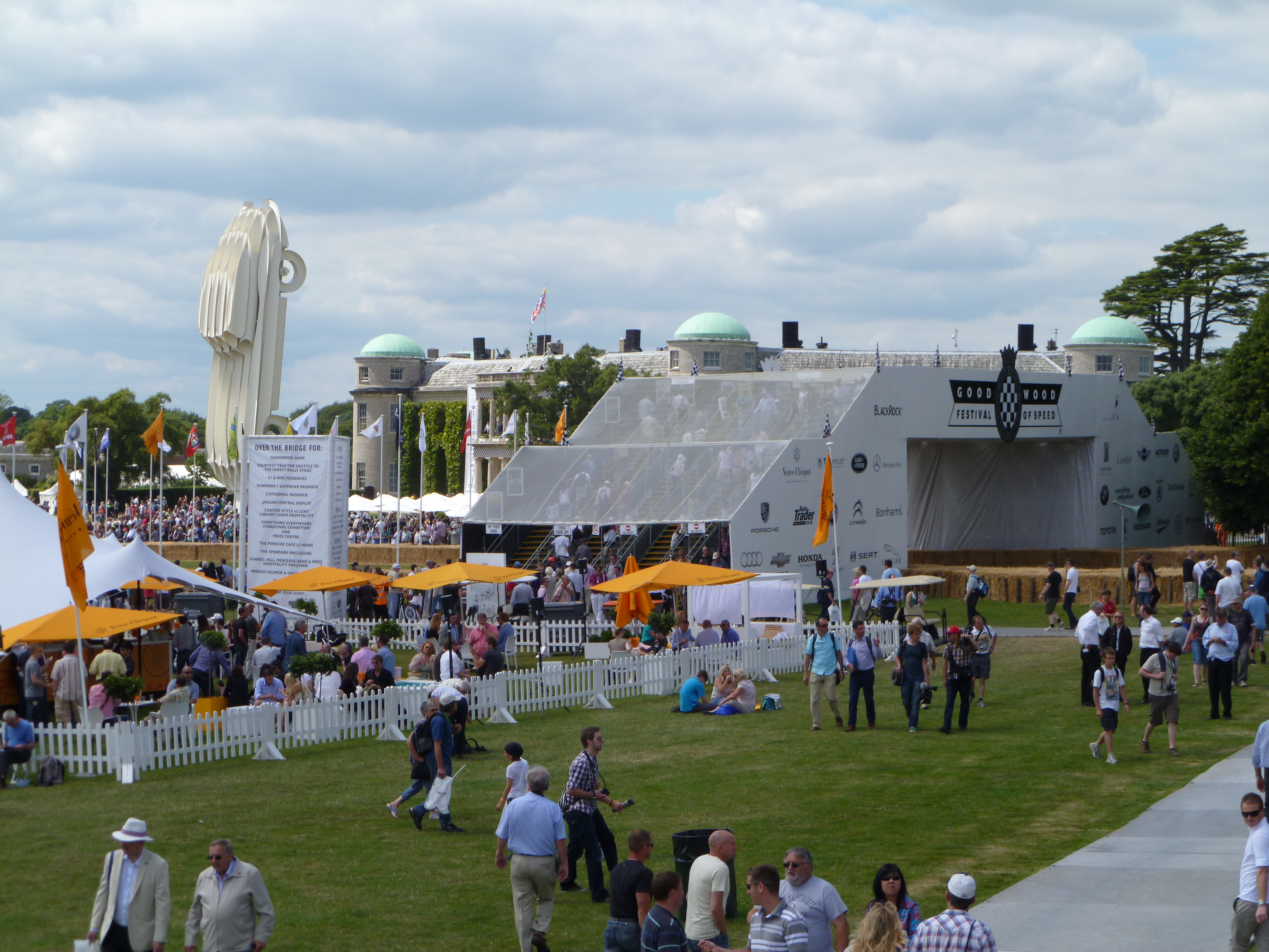
Goodwood Festival of Speed
The Goodwood Festival of Speed is an annual motorsports festival featuring modern and historic motor racing vehicles taking part in a hill climb and other...
Halnaker Chalk Pit
Halnaker Chalk Pit is a 6.4-hectare (16-acre) biological Site of Special Scientific Interest north-east of Boxgrove in West Sussex.This chalk pit is important...
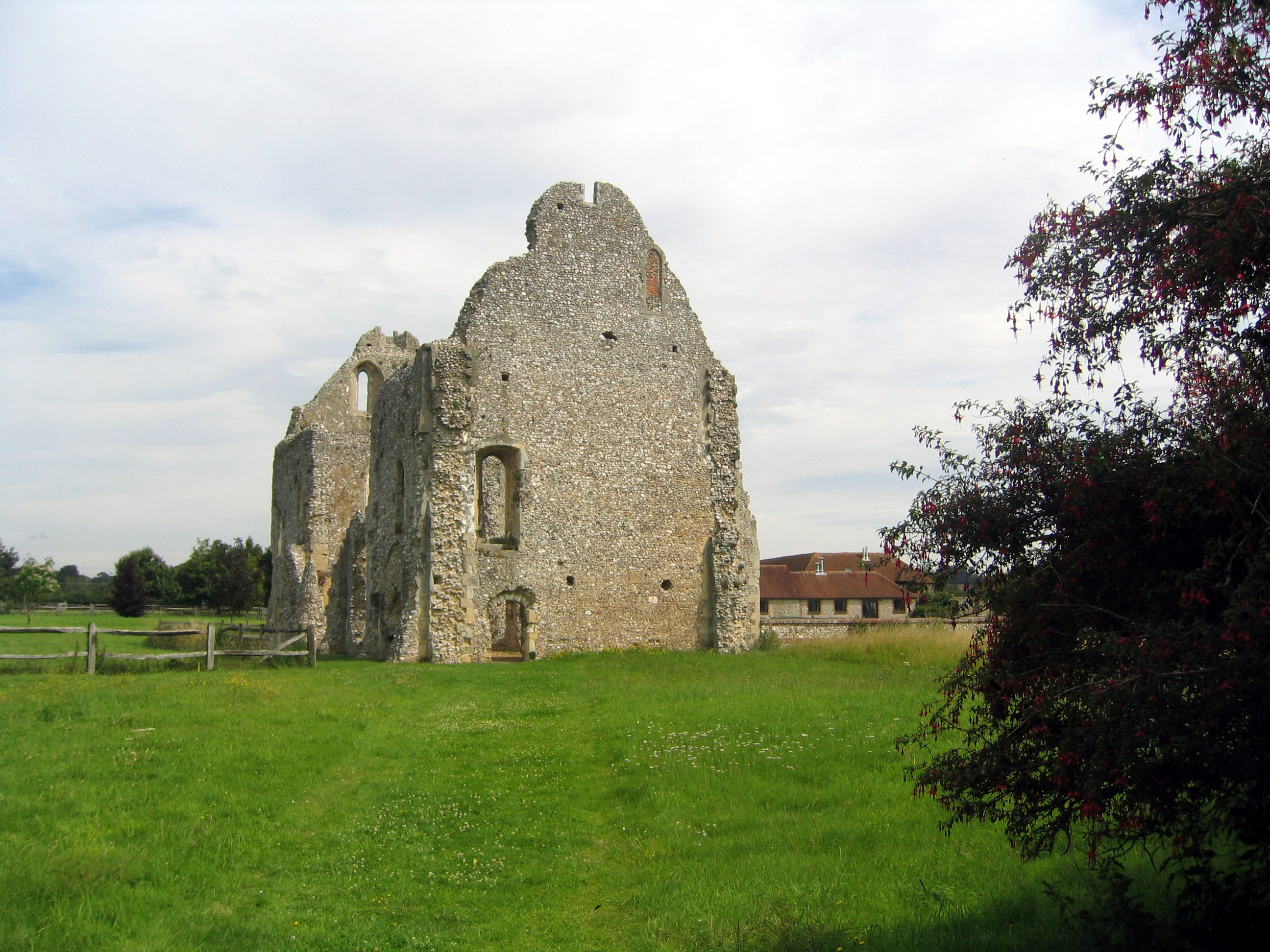
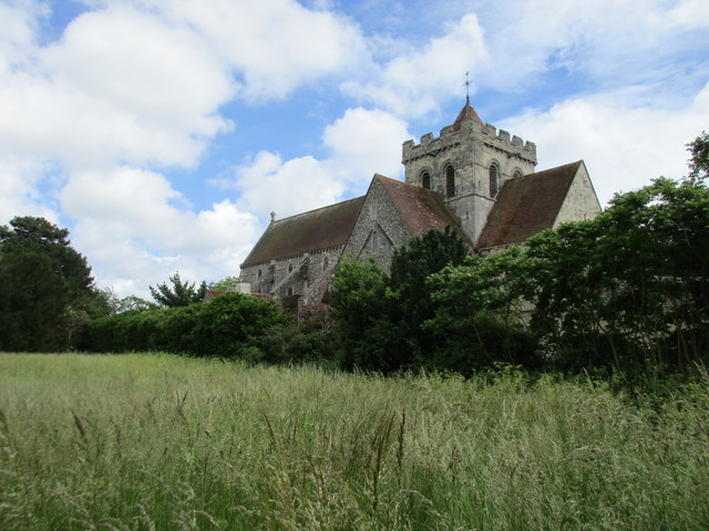
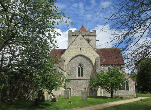
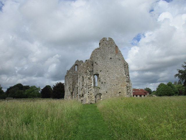
Boxgrove Priory
Boxgrove Priory is a ruined priory in the village of Boxgrove in Sussex, England. It was founded in the 12th century. == History == === Origins === The Priory...

Goodwood Cricket
Goodwood Cricket Club is a Sunday cricket team that play in the grounds of Goodwood Park, near Chichester. The ground overlooks Goodwood House and is owned...
Eartham Pit, Boxgrove
Eartham Pit is an internationally important archaeological site north-east of Boxgrove in West Sussex with findings that date to the Lower Palaeolithic...
Nearby Amenities
Located within 500m of 50.87652,-0.71537725Have you been to Rook Wood?
Leave your review of Rook Wood below (or comments, questions and feedback).