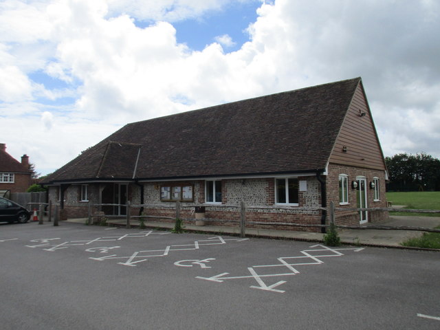
Sandpit Copse
Wood, Forest in Sussex Chichester
England
Sandpit Copse
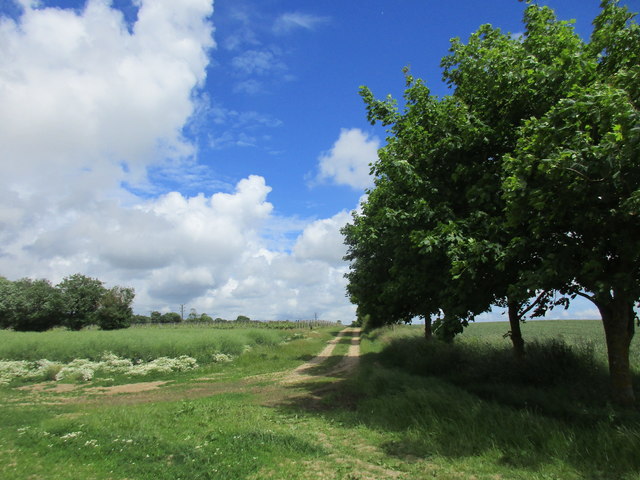
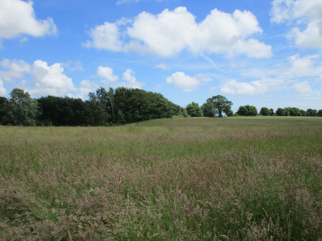
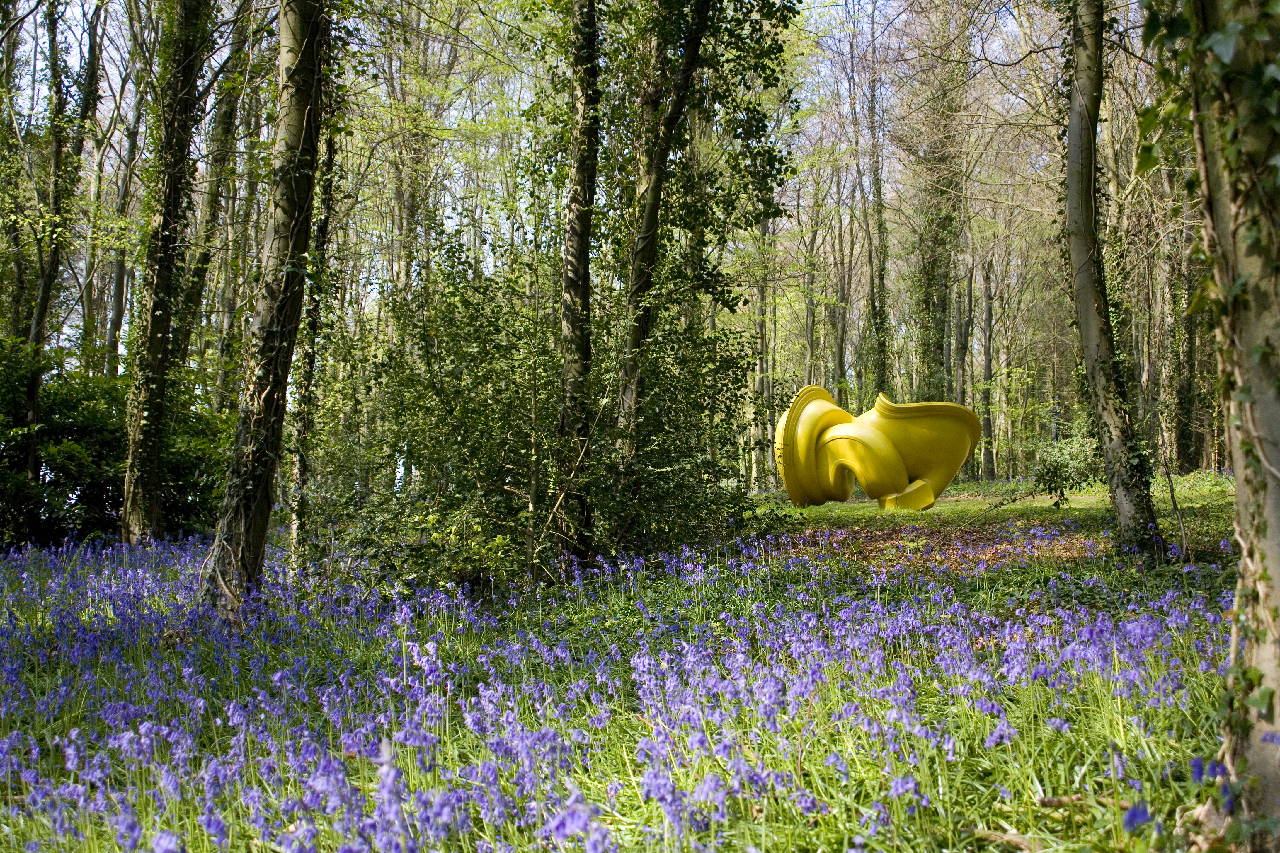
Sandpit Copse is a picturesque woodland located in Sussex, England. Covering an area of about 10 acres, it is a beautiful example of a mixed deciduous forest, characterized by a diverse range of tree species. The copse is primarily composed of oak, beech, and ash trees, which create a dense canopy that provides shade and shelter for various flora and fauna.
The forest floor is covered with a rich carpet of moss, ferns, and wildflowers, adding to the copse's natural beauty. It is also home to a variety of wildlife, including birds, squirrels, and rabbits. The dense vegetation and abundance of food sources make it an ideal habitat for these creatures.
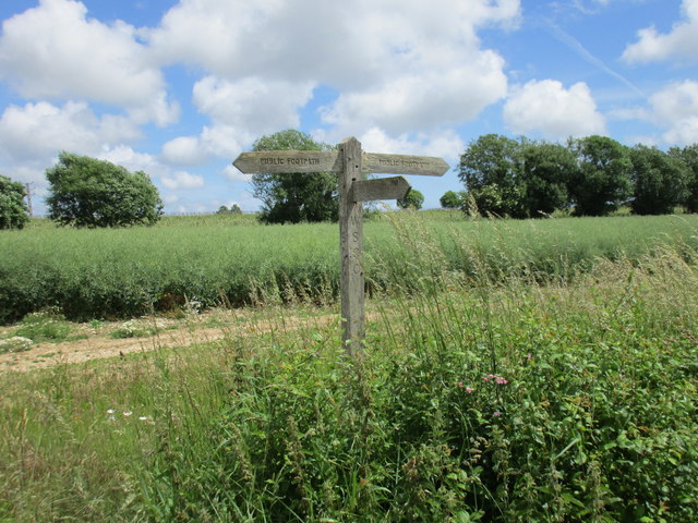
The copse is intersected by a network of footpaths, allowing visitors to explore its tranquil surroundings. These paths wind through the forest, taking visitors past serene ponds and babbling brooks. The peaceful atmosphere and the soothing sounds of nature create a perfect retreat for those seeking solitude and tranquility.
Sandpit Copse is also a popular destination for nature enthusiasts and photographers, who are drawn to its stunning landscapes and diverse wildlife. It offers ample opportunities for capturing breathtaking images of the changing seasons and the copse's unique flora and fauna.
Overall, Sandpit Copse is a hidden gem in Sussex, offering a haven of natural beauty and tranquility. Whether you are a nature lover, a photographer, or simply seeking a peaceful escape from the hustle and bustle of everyday life, this woodland is a must-visit destination.
If you have any feedback on the listing, please let us know in the comments section below.
Sandpit Copse Images
Images are sourced within 2km of 50.868524/-0.72999314 or Grid Reference SU8908. Thanks to Geograph Open Source API. All images are credited.


Sandpit Copse is located at Grid Ref: SU8908 (Lat: 50.868524, Lng: -0.72999314)
Administrative County: West Sussex
District: Chichester
Police Authority: Sussex
What 3 Words
///thrashing.candidate.engaging. Near Boxgrove, West Sussex
Nearby Locations
Related Wikis
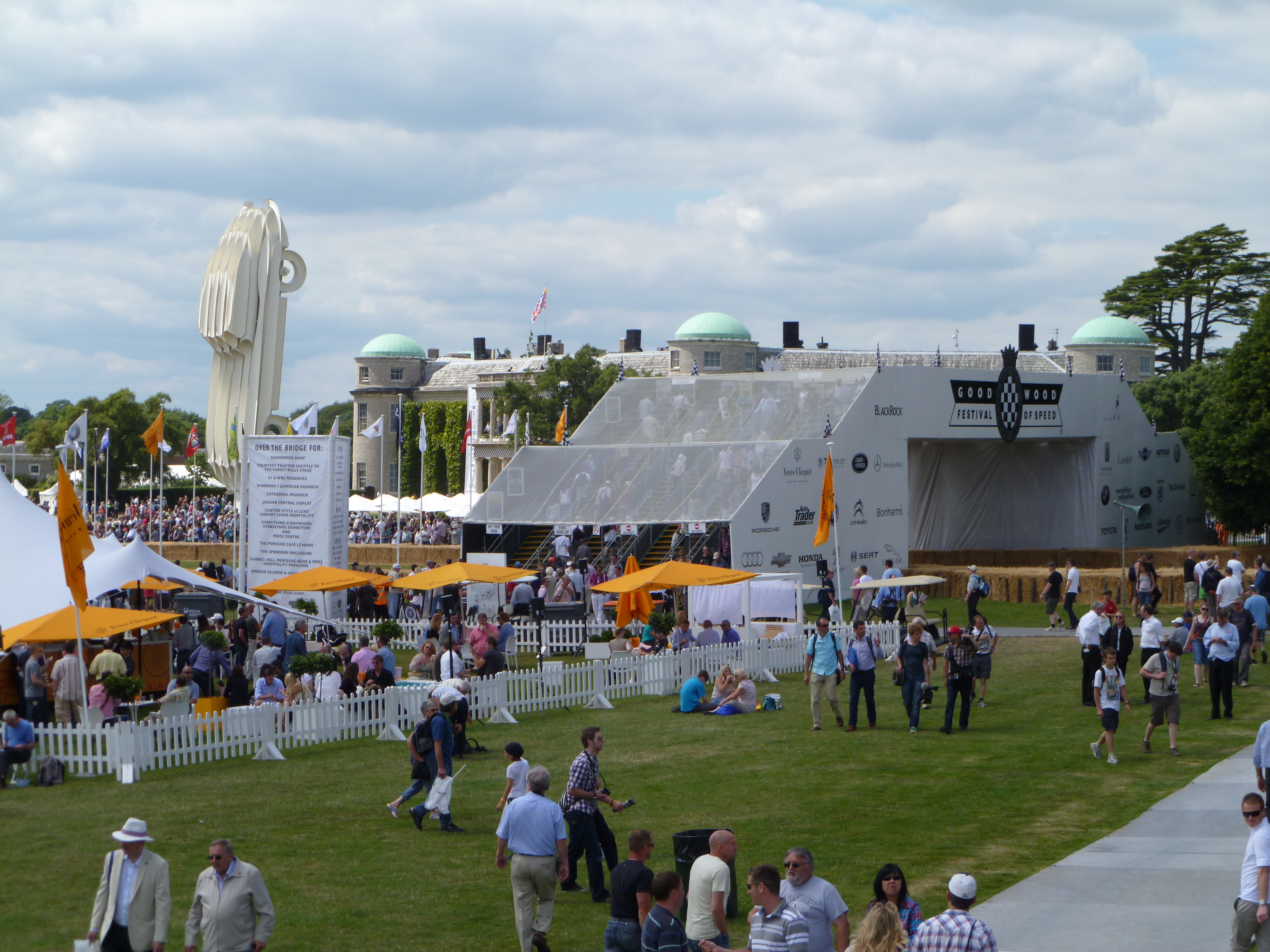
Goodwood Festival of Speed
The Goodwood Festival of Speed is an annual motorsports festival featuring modern and historic motor racing vehicles taking part in a hill climb and other...

Goodwood Cricket
Goodwood Cricket Club is a Sunday cricket team that play in the grounds of Goodwood Park, near Chichester. The ground overlooks Goodwood House and is owned...
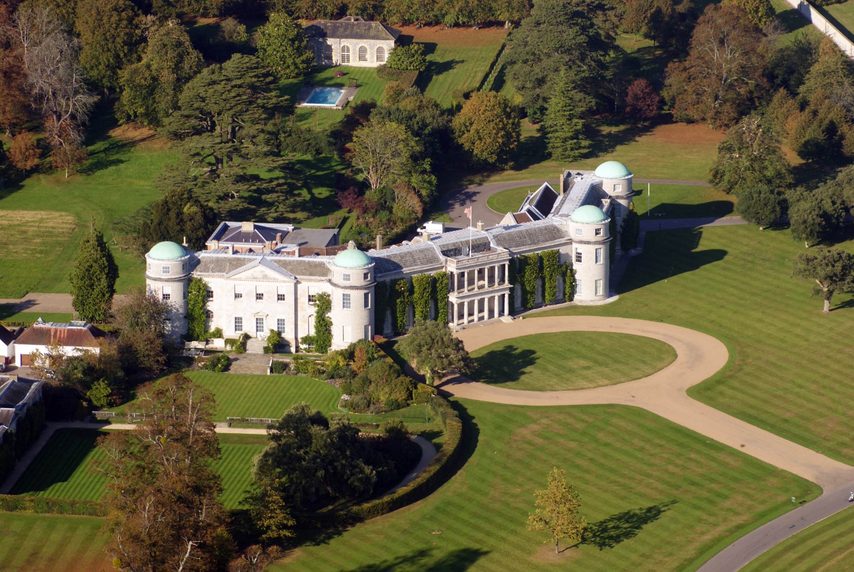
Goodwood House
Goodwood House is a country house and estate covering 4,900 hectares (49 km2) in Westhampnett, Chichester, West Sussex, England and is the seat of the...

Halnaker
Halnaker is a hamlet in the Chichester district of West Sussex, England. It lies on the A285 road 3.5 miles (5.6 km) northeast of Chichester, where it...
Cass Sculpture Foundation
The Cass Sculpture Foundation was a charitable commissioning body based in Goodwood, Sussex, England. The Foundation's 26-acre grounds were home to an...

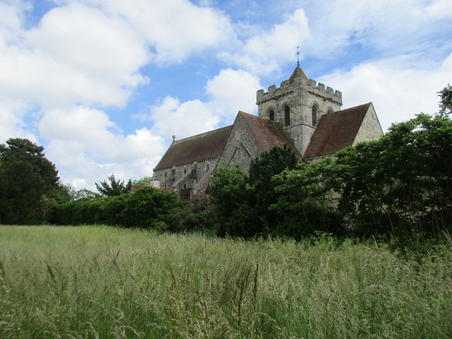
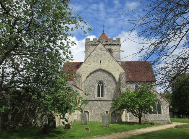
Boxgrove
Boxgrove is a village, ecclesiastical parish and civil parish in the Chichester District of the English county of West Sussex, about 3.5 miles (5.6 km...
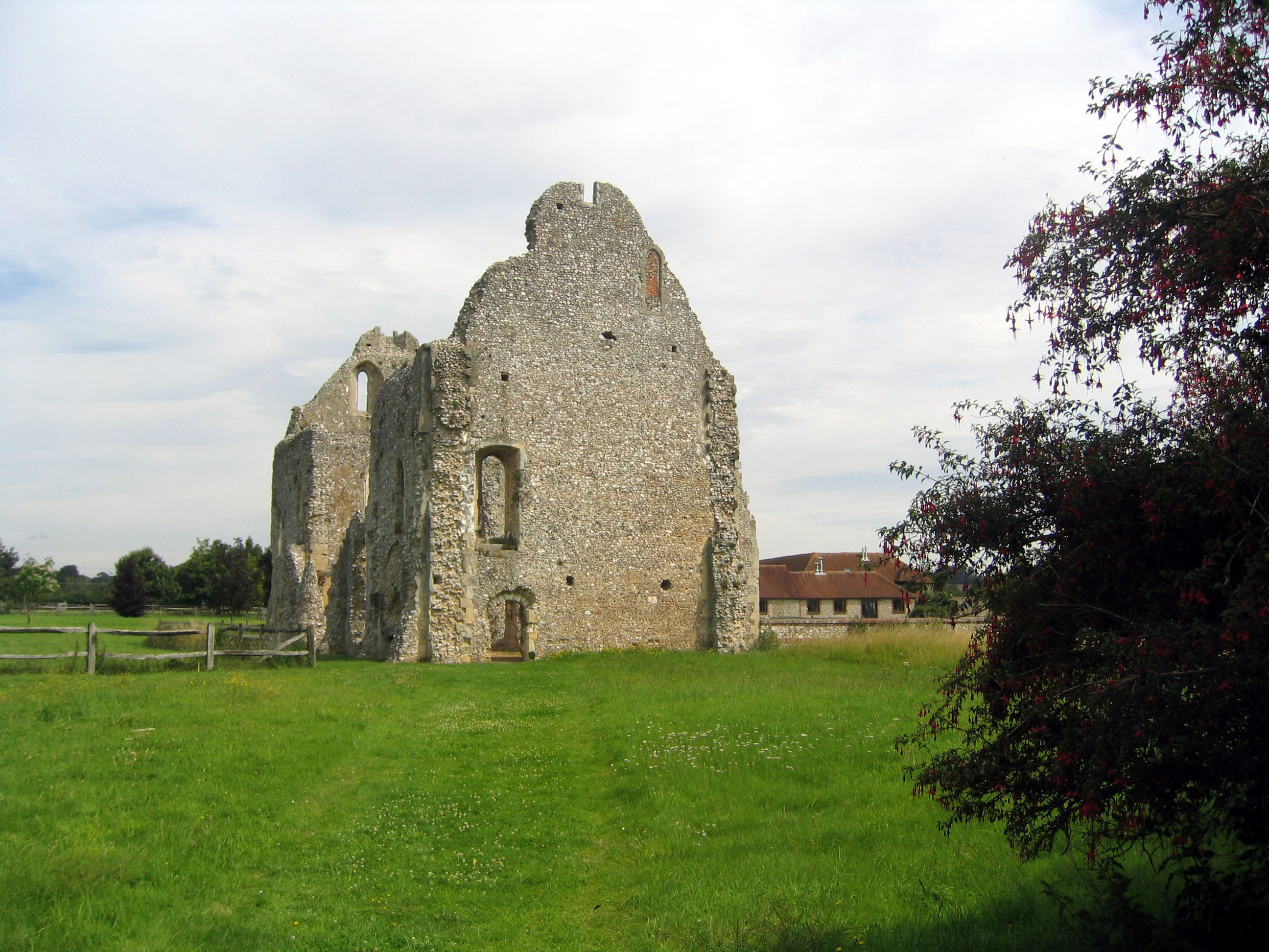
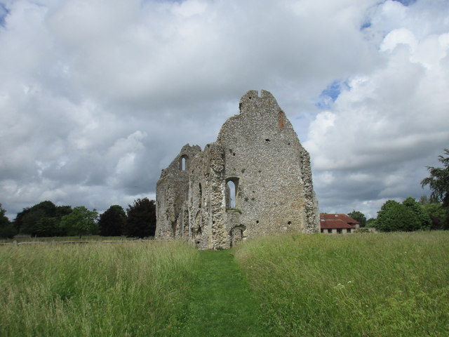
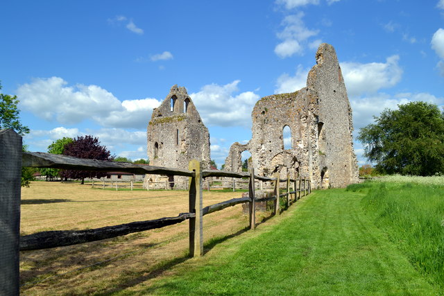
Boxgrove Priory
Boxgrove Priory is a ruined priory in the village of Boxgrove in Sussex, England. It was founded in the 12th century. == History == === Origins === The Priory...
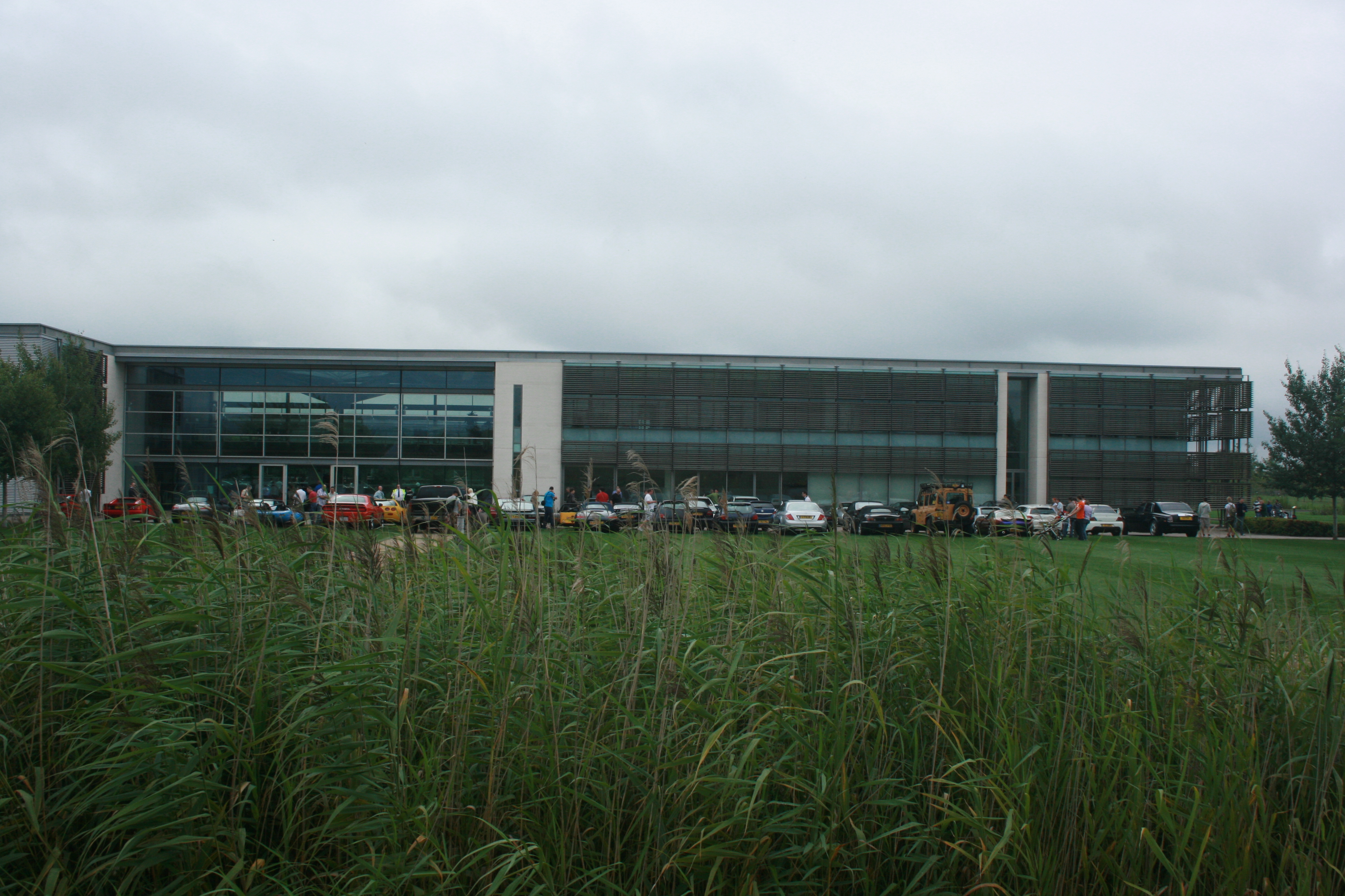
Goodwood plant
The Goodwood plant serves as the headquarters, design, manufacturing and assembly centre for Rolls-Royce Motor Cars. Officially opened on 1 January 2003...
Nearby Amenities
Located within 500m of 50.868524,-0.72999314Have you been to Sandpit Copse?
Leave your review of Sandpit Copse below (or comments, questions and feedback).