Waterbeach
Settlement in Sussex Chichester
England
Waterbeach
Waterbeach is a picturesque village located in the county of Sussex, England. Situated approximately 8 miles southwest of the historic city of Brighton, this charming village is nestled amidst the rolling South Downs countryside.
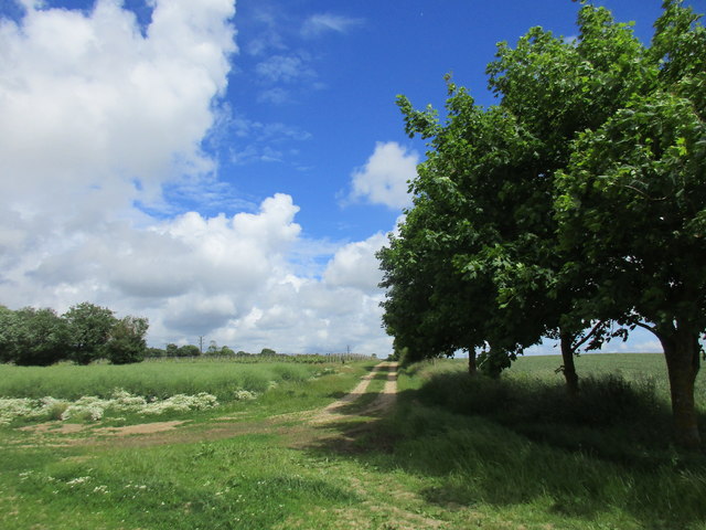
With a population of around 2,000 residents, Waterbeach exudes a welcoming and friendly atmosphere. The village is known for its idyllic setting, surrounded by lush green fields and meadows. The River Ouse flows through the village, adding to its natural beauty. The nearby South Downs National Park offers a plethora of outdoor activities, including hiking, cycling, and horse riding, making it a haven for nature enthusiasts.
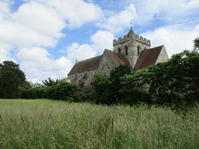
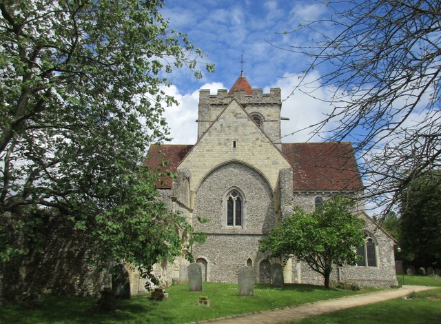
Waterbeach boasts a rich history, with evidence of human habitation dating back to the Roman era. The village retains many historical buildings, such as the 12th-century St. Peter's Church, which features stunning architecture and a peaceful churchyard. The village also has a vibrant community spirit, with regular events and festivals taking place throughout the year.
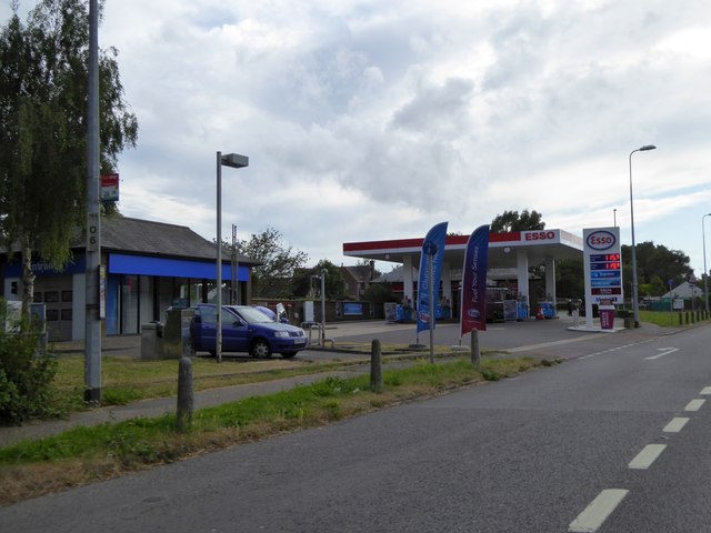
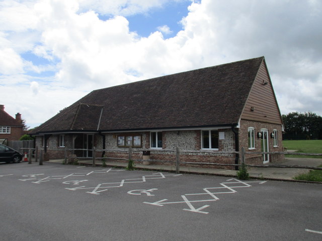
Amenities in Waterbeach include a primary school, a village hall, and a few local shops and pubs. The village is well-connected, with easy access to major transportation routes. The nearby city of Brighton offers a range of amenities, including shopping centers, restaurants, and cultural attractions.
Overall, Waterbeach is a charming and peaceful village, offering a tranquil countryside lifestyle with access to nearby urban amenities. Its natural beauty, rich history, and strong sense of community make it a delightful place to live or visit in Sussex.
If you have any feedback on the listing, please let us know in the comments section below.
Waterbeach Images
Images are sourced within 2km of 50.866703/-0.73287057 or Grid Reference SU8908. Thanks to Geograph Open Source API. All images are credited.


Waterbeach is located at Grid Ref: SU8908 (Lat: 50.866703, Lng: -0.73287057)
Administrative County: West Sussex
District: Chichester
Police Authority: Sussex
What 3 Words
///enacted.tides.baroness. Near Boxgrove, West Sussex
Nearby Locations
Related Wikis

Goodwood Festival of Speed
The Goodwood Festival of Speed is an annual motorsports festival featuring modern and historic motor racing vehicles taking part in a hill climb and other...

Goodwood Cricket
Goodwood Cricket Club is a Sunday cricket team that play in the grounds of Goodwood Park, near Chichester. The ground overlooks Goodwood House and is owned...
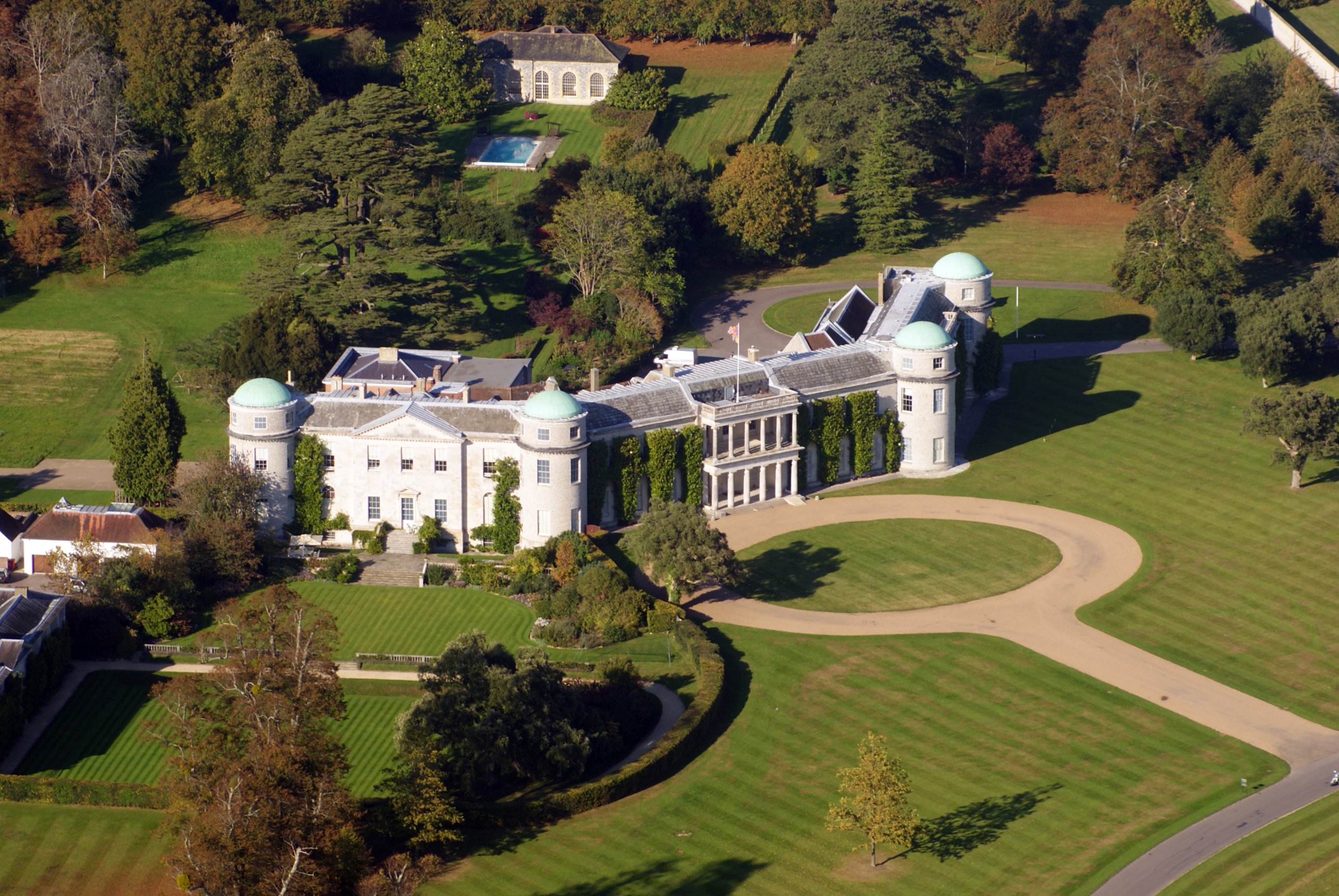
Goodwood House
Goodwood House is a country house and estate covering 4,900 hectares (49 km2) in Westhampnett, Chichester, West Sussex, England and is the seat of the...

Halnaker
Halnaker is a hamlet in the Chichester district of West Sussex, England. It lies on the A285 road 3.5 miles (5.6 km) northeast of Chichester, where it...

Boxgrove
Boxgrove is a village, ecclesiastical parish and civil parish in the Chichester District of the English county of West Sussex, about 3.5 miles (5.6 km...
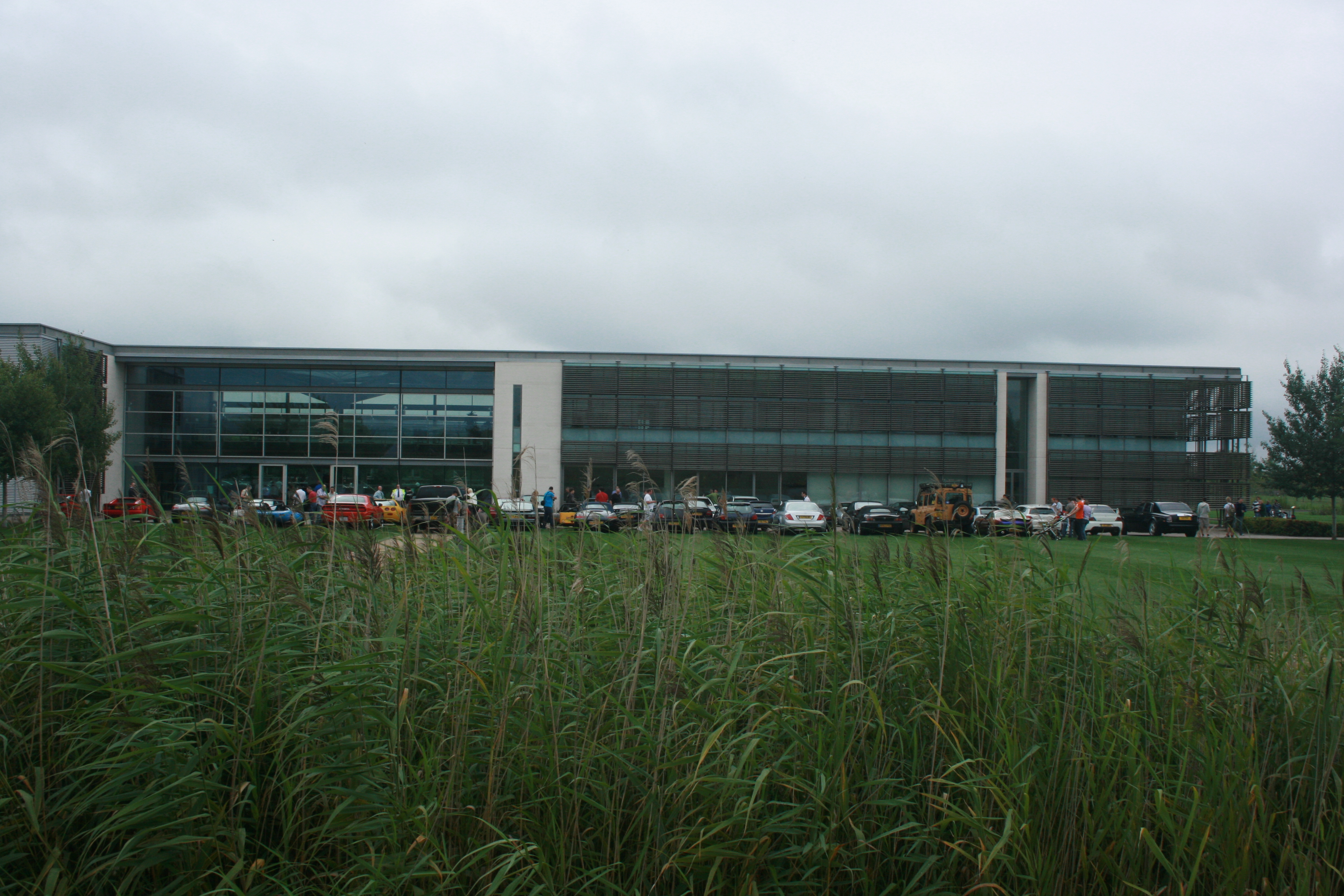
Goodwood plant
The Goodwood plant serves as the headquarters, design, manufacturing and assembly centre for Rolls-Royce Motor Cars. Officially opened on 1 January 2003...
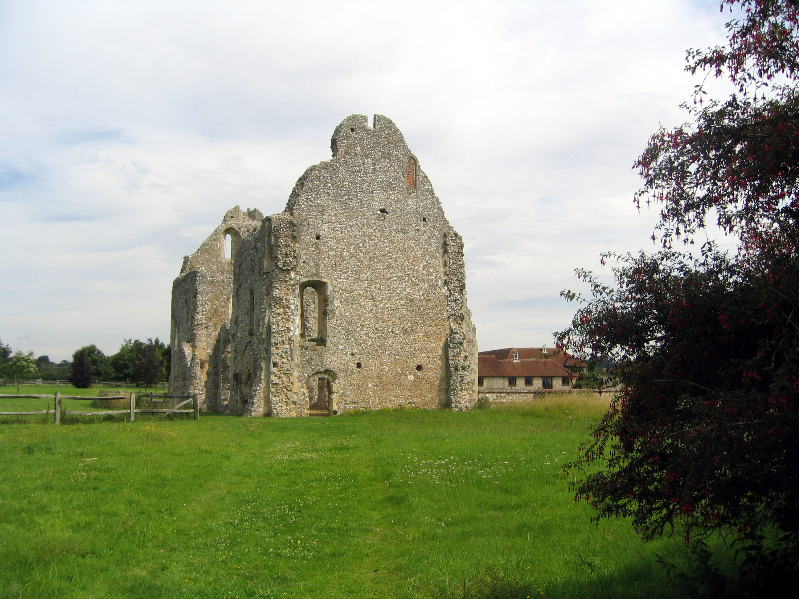
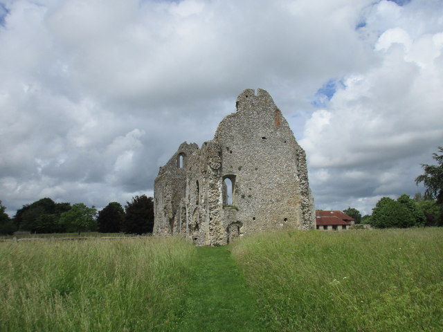
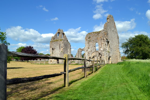
Boxgrove Priory
Boxgrove Priory is a ruined priory in the village of Boxgrove in Sussex, England. It was founded in the 12th century. == History == === Origins === The Priory...
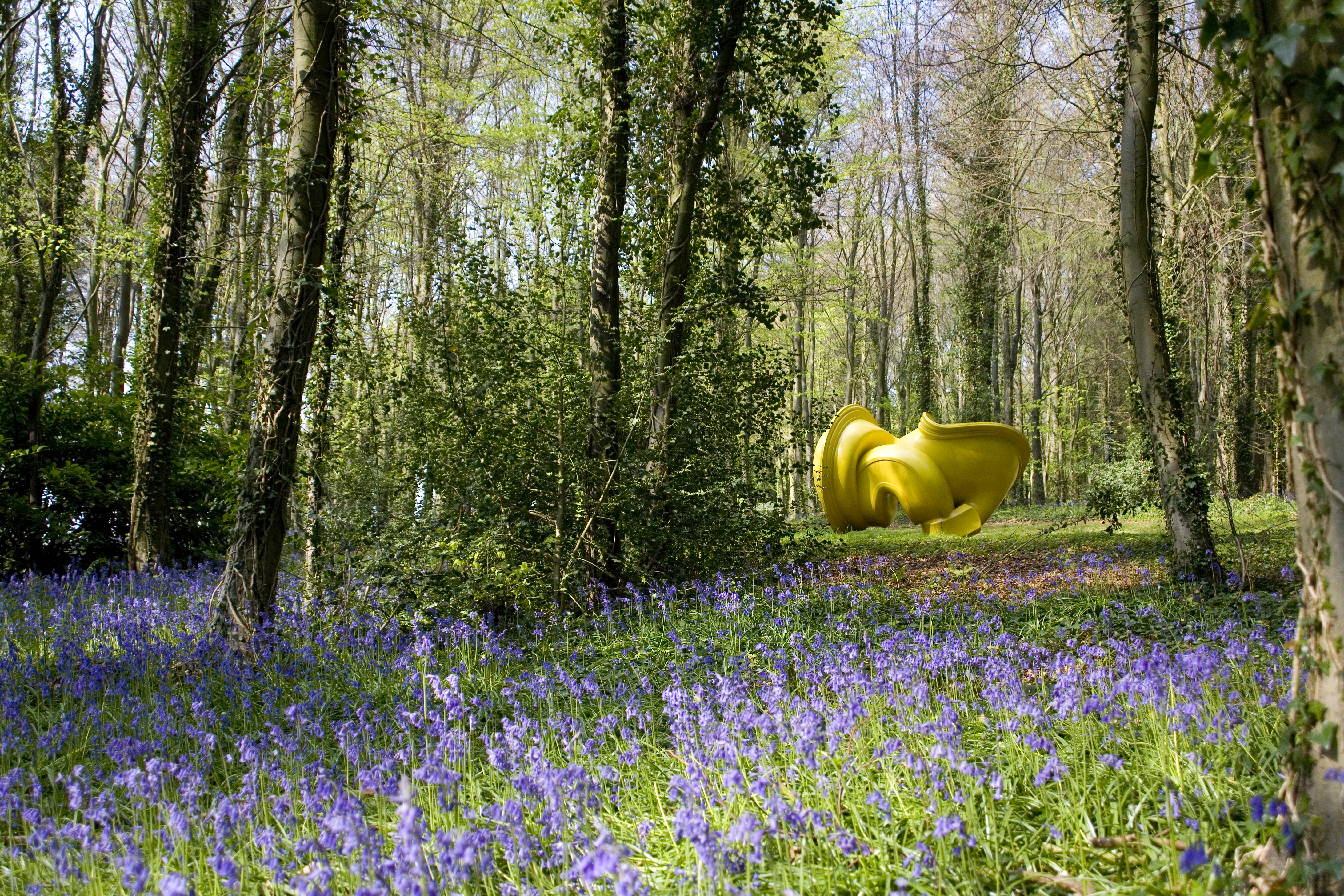
Cass Sculpture Foundation
The Cass Sculpture Foundation was a charitable commissioning body based in Goodwood, Sussex, England. The Foundation's 26-acre grounds were home to an...
Nearby Amenities
Located within 500m of 50.866703,-0.73287057Have you been to Waterbeach?
Leave your review of Waterbeach below (or comments, questions and feedback).