Ash Spinney
Wood, Forest in Buckinghamshire
England
Ash Spinney

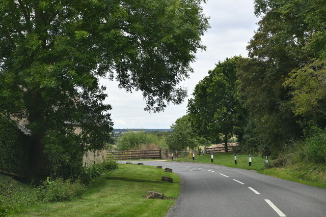
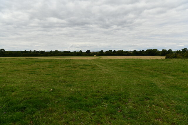
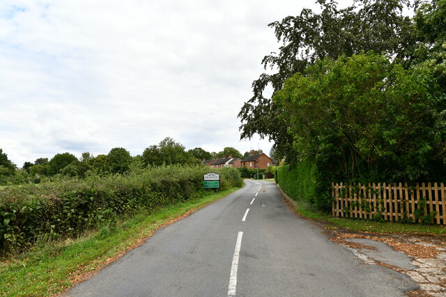
Ash Spinney is a charming woodland located in Buckinghamshire, England. Situated on the outskirts of the village of Ashendon, it offers a tranquil escape from the bustling city life. Spanning over an area of roughly 20 acres, this picturesque forest is an oasis of natural beauty.
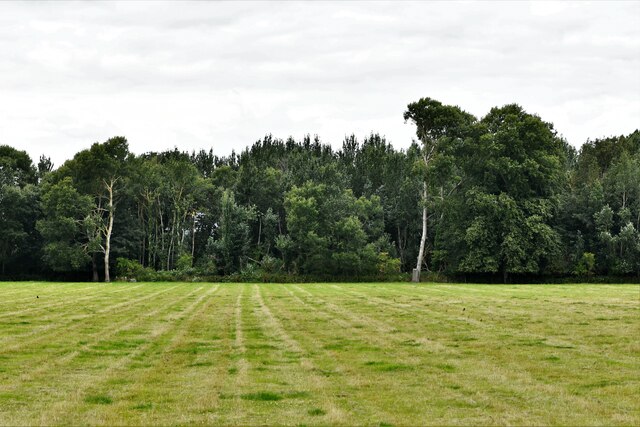
The woodland is predominantly composed of ash trees, which give the area its name. These tall and elegant trees provide a dense canopy, creating a soothing atmosphere and sheltering various flora and fauna. The forest floor is covered with a rich carpet of moss, ferns, and wildflowers, offering an enchanting sight throughout the year.
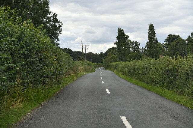
Ash Spinney is a popular destination for outdoor enthusiasts and nature lovers. It boasts a network of well-maintained trails, making it ideal for walking, hiking, and birdwatching. The diverse bird population includes species such as woodpeckers, owls, and various songbirds, providing a delightful symphony of sounds.
The woodland is also home to a variety of wildlife, including rabbits, squirrels, and deer. It provides an important habitat for these creatures, ensuring their survival and contributing to the overall ecological balance of the area.
Visitors to Ash Spinney can enjoy a peaceful picnic amidst the tranquil surroundings or simply relax and soak in the beauty of nature. The forest offers a welcome respite from the demands of modern life, allowing individuals to reconnect with the natural world.
In conclusion, Ash Spinney in Buckinghamshire is a stunning woodland retreat that showcases the beauty and diversity of nature. With its lush ash trees, vibrant flora, and abundant wildlife, it is a haven for those seeking solace in the great outdoors.
If you have any feedback on the listing, please let us know in the comments section below.
Ash Spinney Images
Images are sourced within 2km of 52.123785/-0.71595079 or Grid Reference SP8848. Thanks to Geograph Open Source API. All images are credited.


Ash Spinney is located at Grid Ref: SP8848 (Lat: 52.123785, Lng: -0.71595079)
Unitary Authority: Milton Keynes
Police Authority: Thames Valley
What 3 Words
///tickets.trouser.sunbeam. Near Emberton, Buckinghamshire
Nearby Locations
Related Wikis

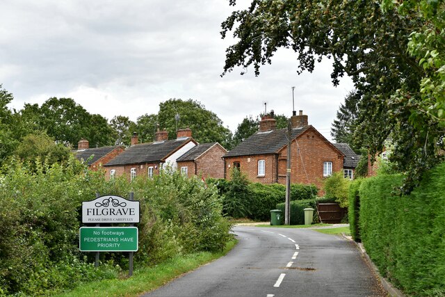
Filgrave
Filgrave is a hamlet in the unitary authority area of the City of Milton Keynes, Buckinghamshire, England. It is about 3 miles (4.8 km) north of Newport...

Emberton
Emberton is a village and civil parish in the unitary authority area of the City of Milton Keynes, in Buckinghamshire, England. The village is near the...
Hollington Wood
Hollington Wood is a small patch of ancient woodland about a mile south-east of the village of Emberton near Olney in the City of Milton Keynes, Buckinghamshire...

Sherington
Sherington is a village and civil parish in the unitary authority area of the City of Milton Keynes, Buckinghamshire, England. It is located 2 miles (3...
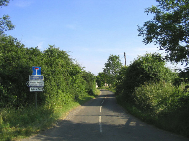
Petsoe End
Petsoe End is a hamlet in Emberton civil parish, in the City of Milton Keynes, Buckinghamshire, England. The name Petsoe is used frequently in the local...

Tyringham
Tyringham (/ˈtiːrɪŋəm/) is a village in the unitary authority area of the City of Milton Keynes, Buckinghamshire, England. It is located about a mile and...

Lathbury
Lathbury is a village and civil parish in the City of Milton Keynes, Buckinghamshire, England. It is about 1 km north of Newport Pagnell, on the opposite...

Tyringham Hall
Tyringham Hall (/ˈtiːrɪŋəm/) is a Grade I listed stately home, originally designed by Sir John Soane in 1792. It is located in Tyringham near Newport Pagnell...
Nearby Amenities
Located within 500m of 52.123785,-0.71595079Have you been to Ash Spinney?
Leave your review of Ash Spinney below (or comments, questions and feedback).