Sowel Spinney
Wood, Forest in Buckinghamshire
England
Sowel Spinney
Sowel Spinney is a picturesque woodland located in Buckinghamshire, England. Covering an area of approximately 50 acres, it is renowned for its natural beauty and diverse range of flora and fauna. The spinney is situated on the outskirts of the village of Sowel, making it easily accessible for nature enthusiasts and visitors alike.
The woodland is characterized by a mix of deciduous and coniferous trees, including oak, beech, and pine. These majestic trees provide a dense canopy, creating a serene and tranquil atmosphere within the spinney. The forest floor is covered in a thick carpet of moss, ferns, and wildflowers, adding to the enchanting ambiance.
Sowel Spinney is home to a variety of wildlife, making it a popular spot for birdwatching and animal observation. Visitors may catch a glimpse of native species such as deer, foxes, badgers, and rabbits, as well as a wide range of bird species, including woodpeckers, owls, and various songbirds.
The spinney offers several marked walking trails, allowing visitors to explore its natural wonders at their own pace. These paths wind through the forest, providing stunning views of the surrounding countryside. Along the way, visitors will encounter charming wooden bridges, babbling brooks, and small ponds, adding to the overall charm of the woodland.
Sowel Spinney is not only a haven for nature lovers but also serves as an educational resource. Local schools often organize field trips to the spinney, where students can learn about the importance of woodland conservation and the delicate balance of ecosystems.
Overall, Sowel Spinney is a hidden gem in Buckinghamshire, offering a peaceful escape into nature and a chance to appreciate the beauty of the British countryside.
If you have any feedback on the listing, please let us know in the comments section below.
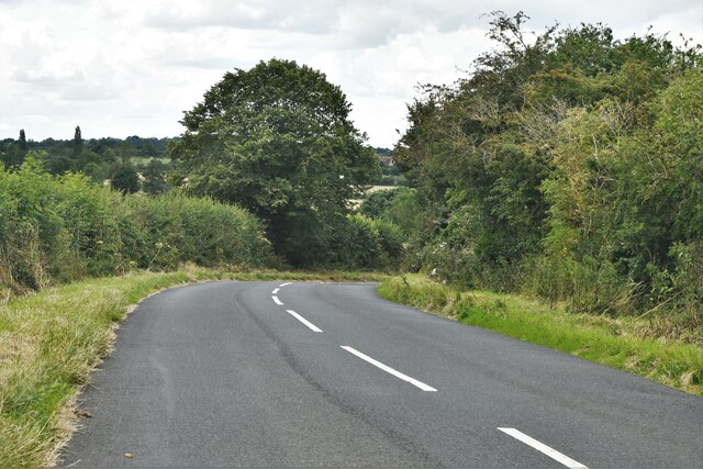
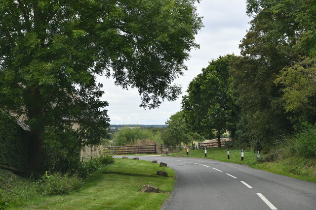
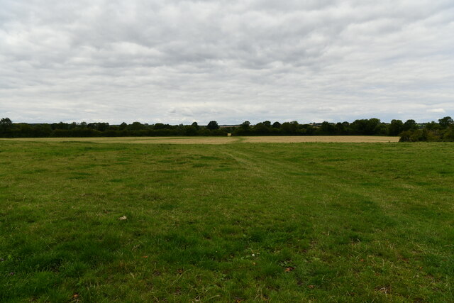
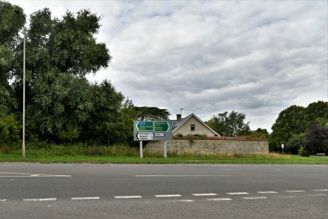
Sowel Spinney Images
Images are sourced within 2km of 52.130279/-0.70964275 or Grid Reference SP8848. Thanks to Geograph Open Source API. All images are credited.


Sowel Spinney is located at Grid Ref: SP8848 (Lat: 52.130279, Lng: -0.70964275)
Unitary Authority: Milton Keynes
Police Authority: Thames Valley
What 3 Words
///fizzle.shrimp.paddlers. Near Emberton, Buckinghamshire
Nearby Locations
Related Wikis

Emberton
Emberton is a village and civil parish in the unitary authority area of the City of Milton Keynes, in Buckinghamshire, England. The village is near the...
Hollington Wood
Hollington Wood is a small patch of ancient woodland about a mile south-east of the village of Emberton near Olney in the City of Milton Keynes, Buckinghamshire...
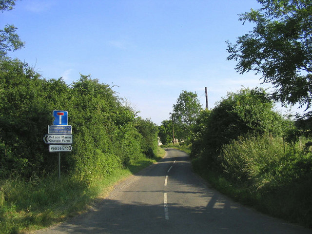
Petsoe End
Petsoe End is a hamlet in Emberton civil parish, in the City of Milton Keynes, Buckinghamshire, England. The name Petsoe is used frequently in the local...

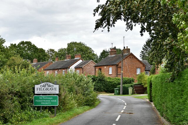
Filgrave
Filgrave is a hamlet in the unitary authority area of the City of Milton Keynes, Buckinghamshire, England. It is about 3 miles (4.8 km) north of Newport...

Battle of Olney Bridge
The Battle of Olney Bridge was a skirmish that occurred on 4 November 1643 during the First English Civil War just outside the town of Olney, Buckinghamshire...

Sherington
Sherington is a village and civil parish in the unitary authority area of the City of Milton Keynes, Buckinghamshire, England. It is located 2 miles (3...
Cowper and Newton Museum
The Cowper and Newton Museum is a museum in Olney, north Buckinghamshire, England, around 8 miles (13 km) north-east of Central Milton Keynes. Celebrating...
Olney, Buckinghamshire
Olney (, rarely OW-nee, rarely OLL-nee) is a market town and civil parish in the unitary authority area of the City of Milton Keynes, Buckinghamshire...
Nearby Amenities
Located within 500m of 52.130279,-0.70964275Have you been to Sowel Spinney?
Leave your review of Sowel Spinney below (or comments, questions and feedback).