Long Plantation
Wood, Forest in Lincolnshire North Kesteven
England
Long Plantation
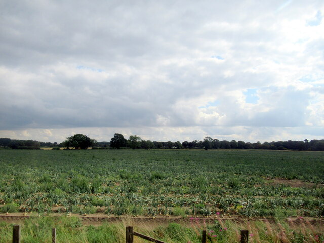
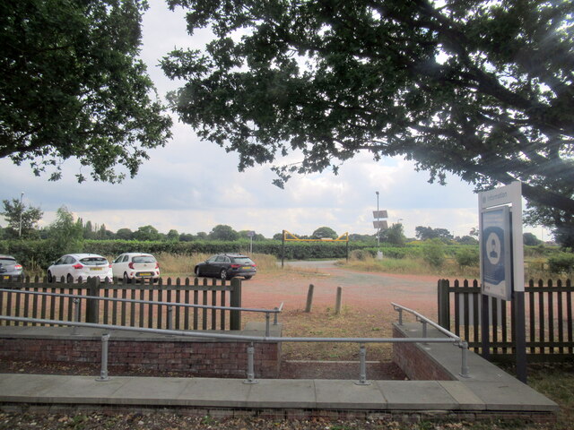
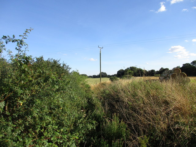
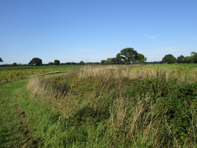
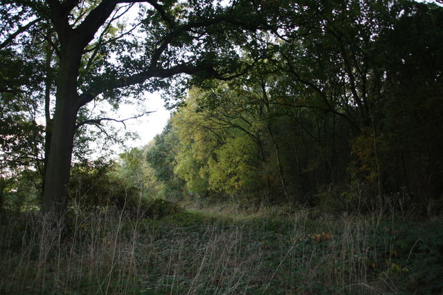
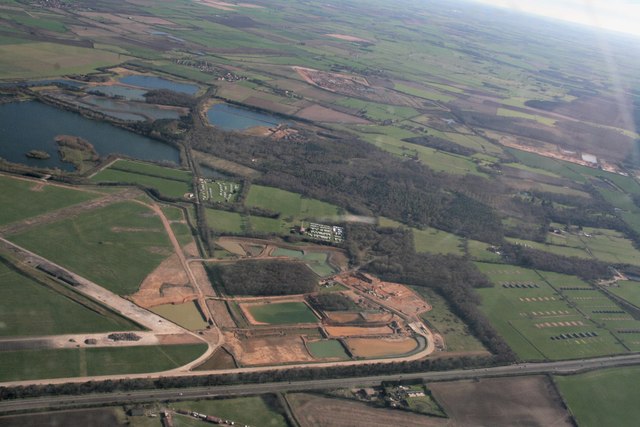
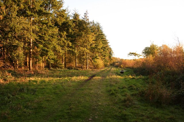
Long Plantation is a picturesque woodland area located in Lincolnshire, England. Stretching over a vast expanse of land, it is known for its dense forest and majestic trees that create a serene and tranquil atmosphere. The plantation is situated in a rural setting, away from the hustle and bustle of city life, making it a popular destination for nature enthusiasts and hikers.
The woodland at Long Plantation is home to a diverse range of flora and fauna, providing a haven for wildlife. The towering trees, including oak, birch, and pine, create a lush canopy that filters sunlight, casting speckled shadows on the forest floor. The forest is also abundant in wildflowers, adding bursts of vibrant colors to the landscape throughout the year.
Several walking trails wind their way through the plantation, offering visitors an opportunity to explore and immerse themselves in nature. These trails vary in difficulty, catering to both casual strollers and experienced hikers. Along the way, visitors may encounter a variety of wildlife, including deer, rabbits, and a rich assortment of bird species.
Long Plantation also offers recreational activities such as camping and picnicking, allowing visitors to relax and enjoy the natural surroundings. The peaceful ambiance and stunning scenery make it an ideal spot for nature photography and sketching.
Overall, Long Plantation in Lincolnshire is a tranquil retreat where visitors can escape the noise and chaos of everyday life and connect with nature. Its vast woodland, diverse wildlife, and recreational opportunities make it a must-visit destination for nature lovers.
If you have any feedback on the listing, please let us know in the comments section below.
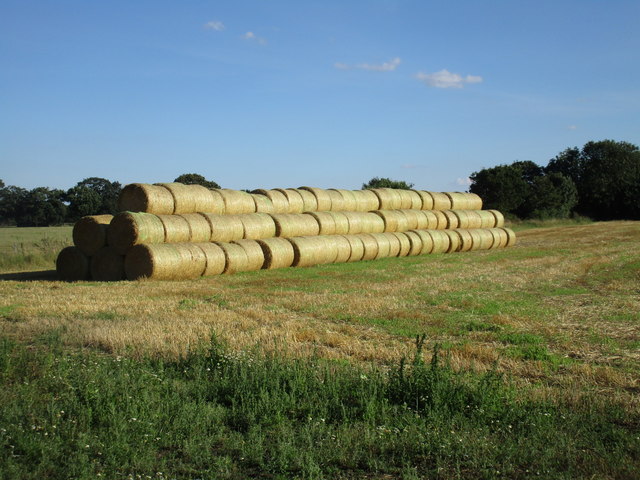
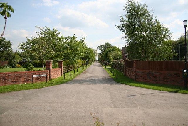
Long Plantation Images
Images are sourced within 2km of 53.16249/-0.68966988 or Grid Reference SK8763. Thanks to Geograph Open Source API. All images are credited.


Long Plantation is located at Grid Ref: SK8763 (Lat: 53.16249, Lng: -0.68966988)
Administrative County: Lincolnshire
District: North Kesteven
Police Authority: Lincolnshire
What 3 Words
///recap.northward.slice. Near North Collingham, Nottinghamshire
Nearby Locations
Related Wikis

Morton Hall
Morton Hall is a small village in the civil parish of Swinderby , in the North Kesteven district of Lincolnshire, England. It is situated 8 miles (13 km...
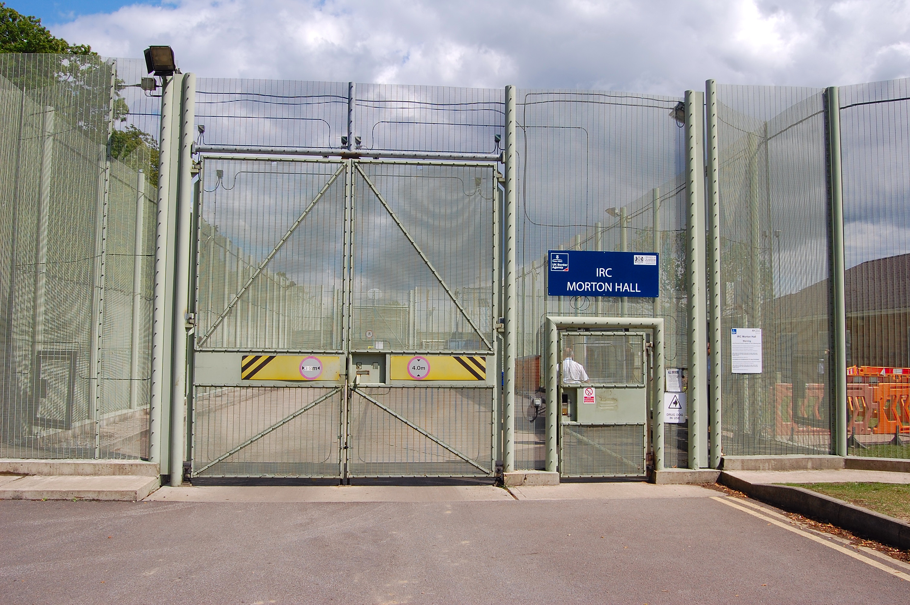
HM Prison Morton Hall
HM Prison Morton Hall is a Category C men's prison, located in the village of Morton Hall (near Lincoln) in Lincolnshire, England. The centre is operated...

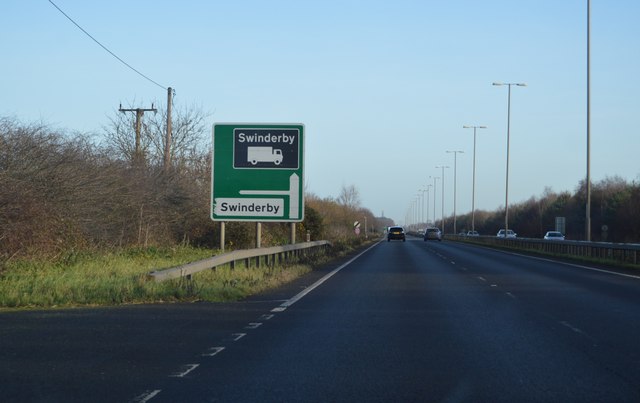
Swinderby
Swinderby is a village and civil parish in the North Kesteven district of Lincolnshire, England. The village is situated just north of the A46 road, 8...

Swinderby railway station
Swinderby railway station serves the villages of Swinderby, North Scarle, Eagle and Morton Hall in Lincolnshire, England. The station is 8.75 miles (14...

Eagle Barnsdale
Eagle Barnsdale is a village in the North Kesteven district of Lincolnshire, England. The population can be found included in the civil parish of Eagle...
Witham St Hughs
Witham St Hughs is a village in the Parish of Thurlby in the North Kesteven district of Lincolnshire, England. The population of the civil parish (including...

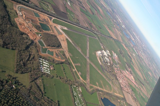
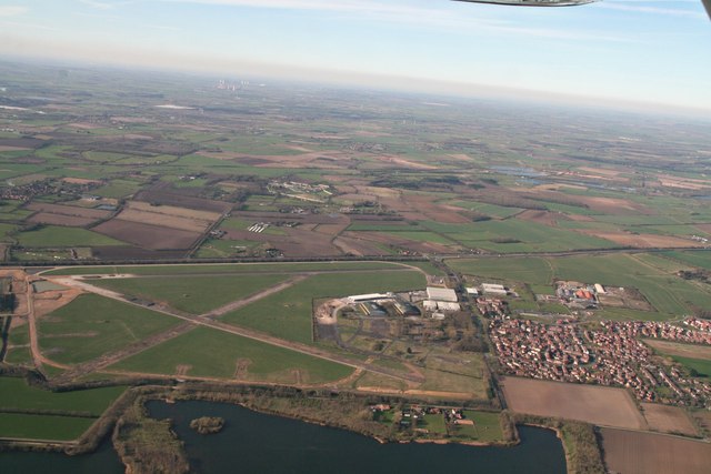
RAF Swinderby
Royal Air Force Swinderby or more simply RAF Swinderby is a former Royal Air Force station airfield opened in 1940, one of the last of the stations completed...
Tunman Wood
Tunman Wood is a local nature reserve with an area of over 53 ha (130 acres) located near Eagle Barnsdale, Lincolnshire. It is an area of ancient woodland...
Nearby Amenities
Located within 500m of 53.16249,-0.68966988Have you been to Long Plantation?
Leave your review of Long Plantation below (or comments, questions and feedback).