Buryorchard Spinney
Wood, Forest in Buckinghamshire
England
Buryorchard Spinney

Buryorchard Spinney is a picturesque woodland located in the county of Buckinghamshire, England. Covering an area of approximately 20 acres, it is known for its natural beauty and diverse ecosystem. The spinney is situated in the village of Buryorchard, just a few miles away from the town of Aylesbury.
The woodland is predominantly made up of a variety of native tree species, including oak, beech, and ash. These majestic trees create a dense canopy that provides shade and shelter for the numerous flora and fauna that call the spinney home. The forest floor is covered in a thick layer of leaf litter, creating a rich habitat for a wide range of plants and fungi.
Buryorchard Spinney is a haven for wildlife enthusiasts, as it supports a thriving population of birds, small mammals, and insects. Visitors may spot species such as woodpeckers, owls, and deer, as well as a vast array of butterflies and dragonflies during the warmer months.
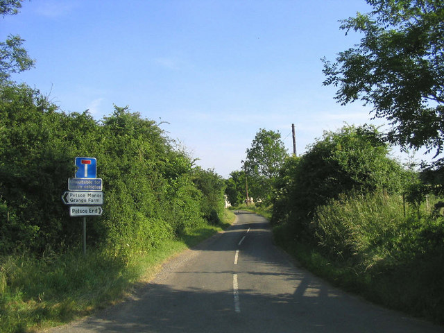
The spinney is a popular spot for nature walks and picnics, offering a peaceful and tranquil environment for visitors to unwind and connect with nature. Several footpaths meander through the woodland, allowing visitors to explore its hidden corners and discover its hidden gems.
Managed by the local wildlife trust, Buryorchard Spinney is dedicated to preserving the natural beauty of the area and protecting its wildlife. It provides a valuable green space for the local community and acts as an important wildlife corridor, connecting other nearby woodlands and nature reserves.
Overall, Buryorchard Spinney is a cherished natural gem in Buckinghamshire, offering visitors a chance to immerse themselves in the beauty of the British countryside.
If you have any feedback on the listing, please let us know in the comments section below.
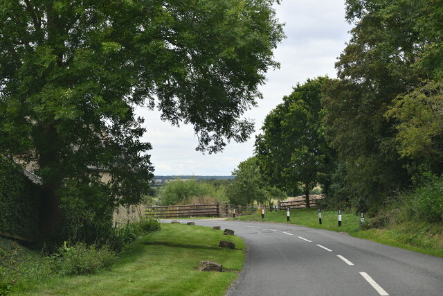
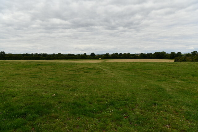
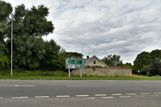
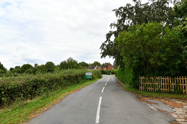
Buryorchard Spinney Images
Images are sourced within 2km of 52.128666/-0.72001785 or Grid Reference SP8748. Thanks to Geograph Open Source API. All images are credited.


Buryorchard Spinney is located at Grid Ref: SP8748 (Lat: 52.128666, Lng: -0.72001785)
Unitary Authority: Milton Keynes
Police Authority: Thames Valley
What 3 Words
///credit.handfuls.seagulls. Near Emberton, Buckinghamshire
Nearby Locations
Related Wikis

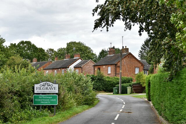
Filgrave
Filgrave is a hamlet in the unitary authority area of the City of Milton Keynes, Buckinghamshire, England. It is about 3 miles (4.8 km) north of Newport...

Emberton
Emberton is a village and civil parish in the unitary authority area of the City of Milton Keynes, in Buckinghamshire, England. The village is near the...
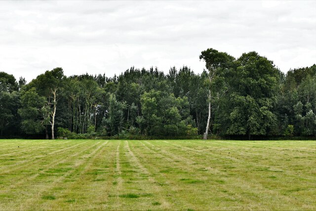
Hollington Wood
Hollington Wood is a small patch of ancient woodland about a mile south-east of the village of Emberton near Olney in the City of Milton Keynes, Buckinghamshire...
Petsoe End
Petsoe End is a hamlet in Emberton civil parish, in the City of Milton Keynes, Buckinghamshire, England. The name Petsoe is used frequently in the local...

Tyringham
Tyringham (/ˈtiːrɪŋəm/) is a village in the unitary authority area of the City of Milton Keynes, Buckinghamshire, England. It is located about a mile and...

Sherington
Sherington is a village and civil parish in the unitary authority area of the City of Milton Keynes, Buckinghamshire, England. It is located 2 miles (3...

Battle of Olney Bridge
The Battle of Olney Bridge was a skirmish that occurred on 4 November 1643 during the First English Civil War just outside the town of Olney, Buckinghamshire...

Tyringham Hall
Tyringham Hall (/ˈtiːrɪŋəm/) is a Grade I listed stately home, originally designed by Sir John Soane in 1792. It is located in Tyringham near Newport Pagnell...
Nearby Amenities
Located within 500m of 52.128666,-0.72001785Have you been to Buryorchard Spinney?
Leave your review of Buryorchard Spinney below (or comments, questions and feedback).