Lawn Plantation
Wood, Forest in Lincolnshire North Kesteven
England
Lawn Plantation
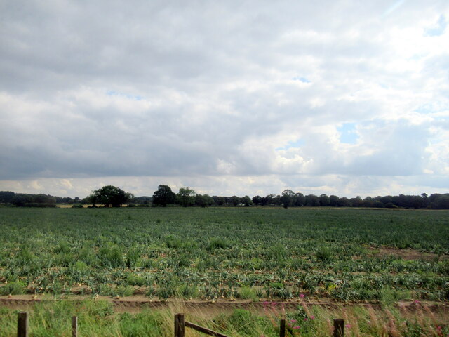
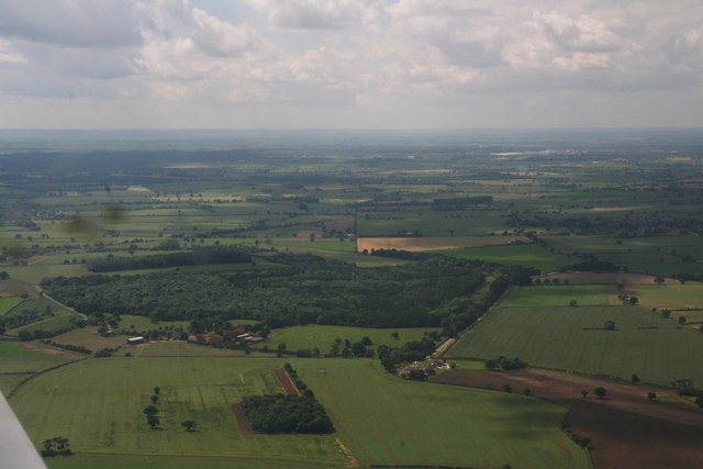
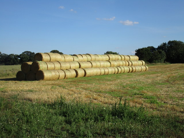
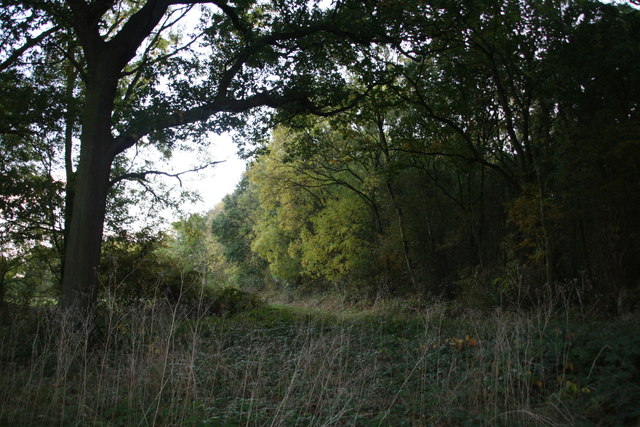
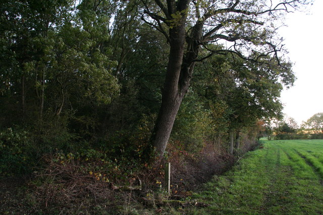
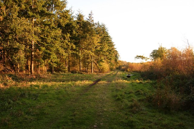
Lawn Plantation, located in Lincolnshire, is a stunning woodland area known for its lush, dense forests and vibrant flora. Spanning over several acres, this plantation is a haven for nature enthusiasts and offers a peaceful retreat from the bustling city life.
The primary attraction of Lawn Plantation is its magnificent woodland, characterized by a mix of deciduous and coniferous trees. Towering oak, beech, and birch trees dominate the landscape, providing a striking contrast to the evergreen pines and firs. The dense canopy formed by these trees creates a cool, shaded environment, perfect for leisurely walks and picnics.
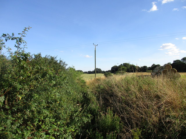
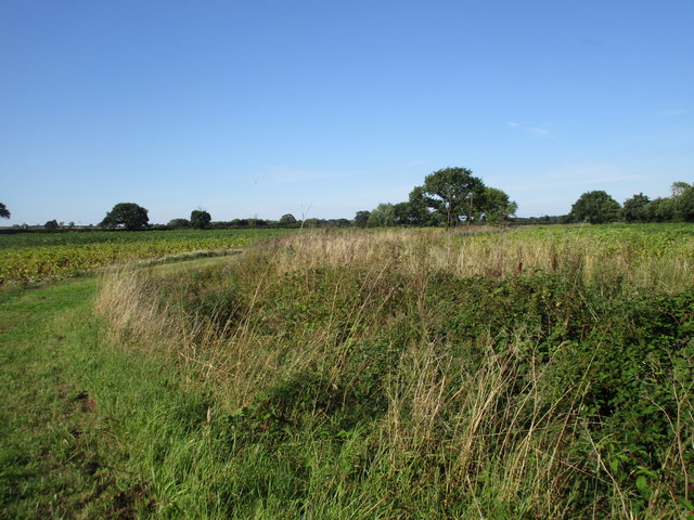
Adding to the charm of Lawn Plantation are the well-maintained walking trails that crisscross through the woodland. These trails offer visitors the opportunity to explore the plantation's diverse ecosystems and discover its hidden gems. Along the way, one can encounter a variety of native wildlife, including deer, foxes, and a rich variety of bird species.
The plantation is also home to a small lake, which further enhances its natural beauty. The tranquil waters reflect the surrounding greenery, creating a picturesque scene that is perfect for photography enthusiasts.
Lawn Plantation is not just a recreational area; it also serves as an important conservation site. The management team works diligently to preserve the natural habitat and protect the diverse flora and fauna that call this place home.
Overall, Lawn Plantation in Lincolnshire is a captivating woodland area that offers visitors a chance to immerse themselves in nature. Its stunning forests, well-maintained trails, and abundant wildlife make it a must-visit destination for those seeking a peaceful and enchanting experience.
If you have any feedback on the listing, please let us know in the comments section below.
Lawn Plantation Images
Images are sourced within 2km of 53.165397/-0.68920736 or Grid Reference SK8763. Thanks to Geograph Open Source API. All images are credited.


Lawn Plantation is located at Grid Ref: SK8763 (Lat: 53.165397, Lng: -0.68920736)
Administrative County: Lincolnshire
District: North Kesteven
Police Authority: Lincolnshire
What 3 Words
///saddens.estuaries.grapes. Near North Collingham, Nottinghamshire
Nearby Locations
Related Wikis

Morton Hall
Morton Hall is a small village in the civil parish of Swinderby , in the North Kesteven district of Lincolnshire, England. It is situated 8 miles (13 km...
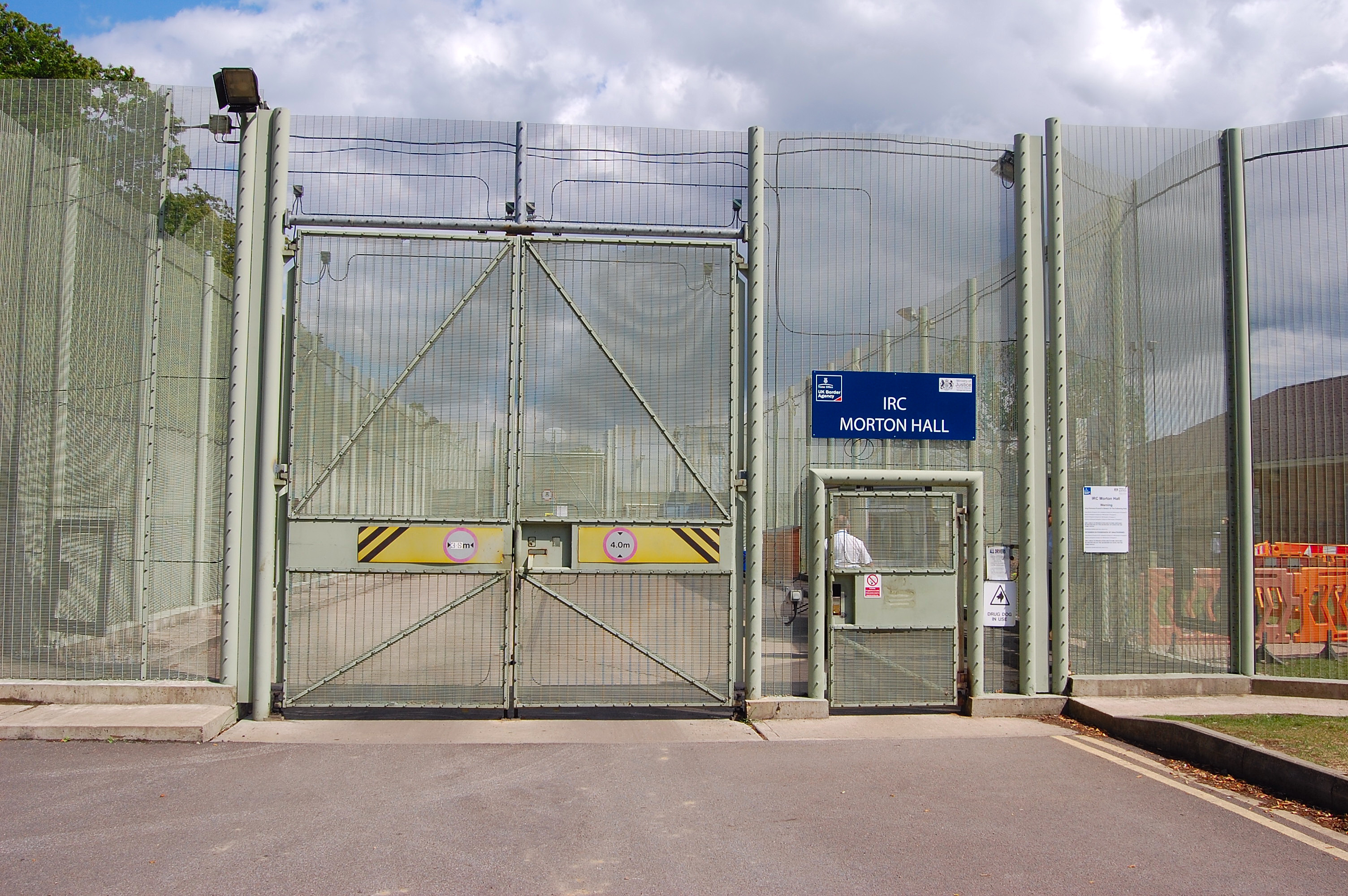
HM Prison Morton Hall
HM Prison Morton Hall is a Category C men's prison, located in the village of Morton Hall (near Lincoln) in Lincolnshire, England. The centre is operated...

Swinderby railway station
Swinderby railway station serves the villages of Swinderby, North Scarle, Eagle and Morton Hall in Lincolnshire, England. The station is 8.75 miles (14...

Swinderby
Swinderby is a village and civil parish in the North Kesteven district of Lincolnshire, England. The village is situated just north of the A46 road, 8...

Eagle Barnsdale
Eagle Barnsdale is a village in the North Kesteven district of Lincolnshire, England. The population can be found included in the civil parish of Eagle...
Tunman Wood
Tunman Wood is a local nature reserve with an area of over 53 ha (130 acres) located near Eagle Barnsdale, Lincolnshire. It is an area of ancient woodland...
Witham St Hughs
Witham St Hughs is a village in the Parish of Thurlby in the North Kesteven district of Lincolnshire, England. The population of the civil parish (including...

RAF Swinderby
Royal Air Force Swinderby or more simply RAF Swinderby is a former Royal Air Force station airfield opened in 1940, one of the last of the stations completed...
Nearby Amenities
Located within 500m of 53.165397,-0.68920736Have you been to Lawn Plantation?
Leave your review of Lawn Plantation below (or comments, questions and feedback).