Bexley Bushes

Wood, Forest in Sussex Chichester

England

Bexley Bushes

Outer ditch, The Trundle An Iron Age fort, containing a smaller and much less well defined ditch of a  Neolithic fort.
Outer ditch, The Trundle Credit: Robin Webster

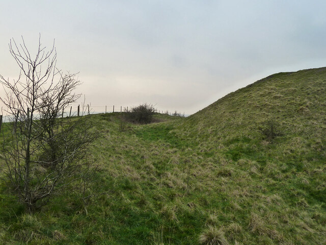
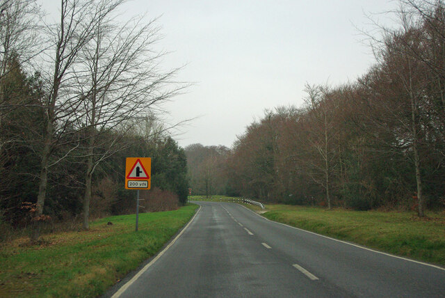
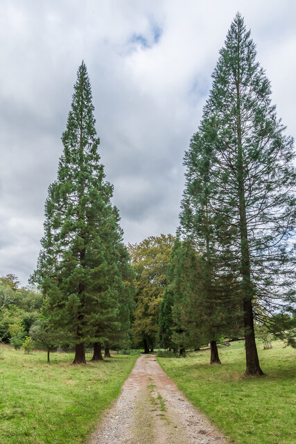
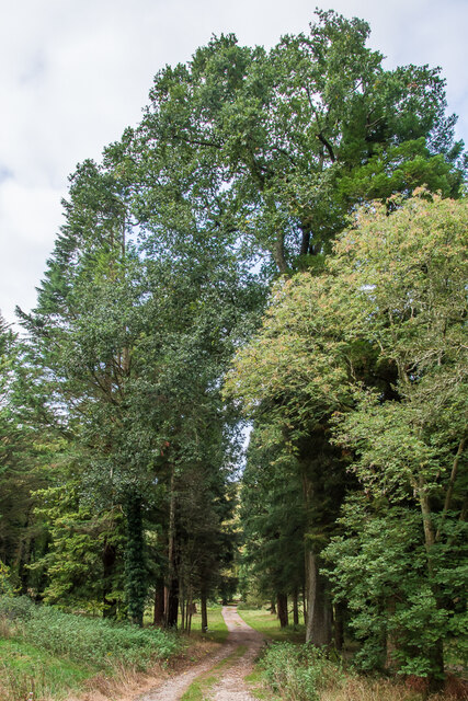
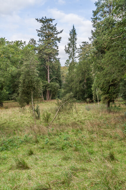
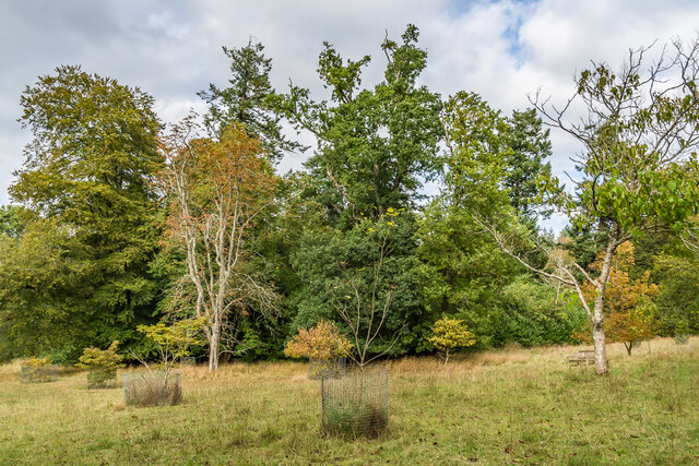
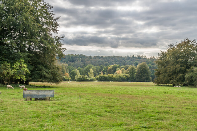
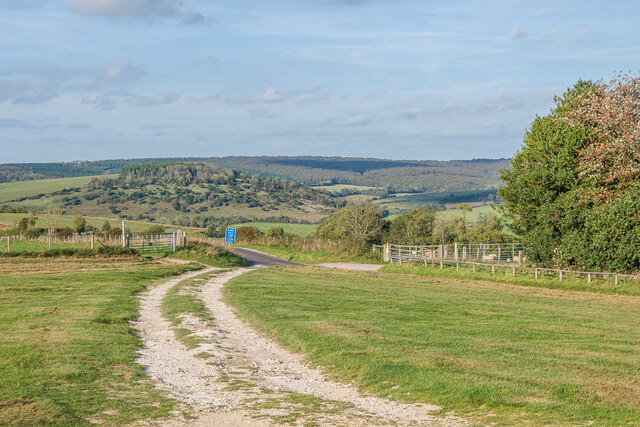
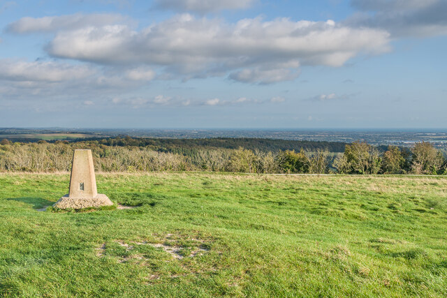
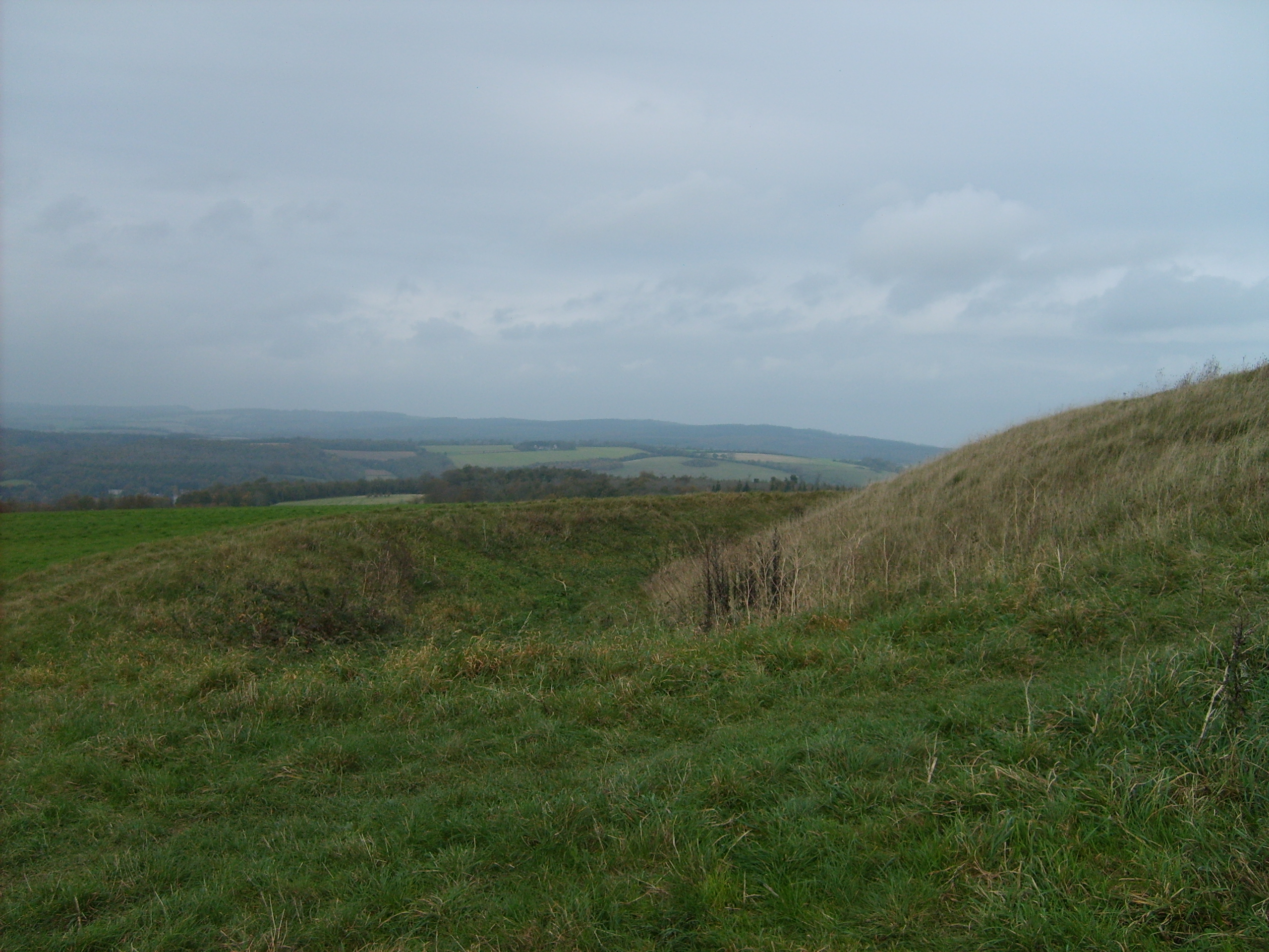
Bexley Bushes is a picturesque woodland located in the county of Sussex, England. This enchanting forest covers an area of approximately 500 acres and is a popular destination for nature lovers, hikers, and wildlife enthusiasts.

The woodland is characterized by its dense and diverse vegetation, consisting of a mixture of native tree species such as oak, beech, and birch. These towering trees create a lush canopy that provides a habitat for numerous animal species, including deer, foxes, badgers, and a wide variety of bird species. The forest floor is adorned with a carpet of ferns, bluebells, and wildflowers, adding to the beauty and serenity of the surroundings.

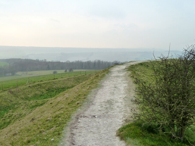
Bexley Bushes offers a network of well-maintained trails that wind through the forest, allowing visitors to explore its natural wonders at their own pace. These paths are suitable for both casual strolls and more challenging hikes, offering something for everyone. Along the way, there are several designated picnic areas where visitors can rest and enjoy a meal amidst the tranquil ambiance of the woodland.

For those interested in the local flora and fauna, Bexley Bushes provides a fantastic opportunity for wildlife spotting and birdwatching. The forest is home to a diverse range of species, and with a little patience and observation, visitors may catch a glimpse of elusive creatures or hear the melodies of various bird calls.

Overall, Bexley Bushes is a haven of natural beauty and tranquility, offering a captivating experience for anyone seeking to immerse themselves in the wonders of nature.

If you have any feedback on the listing, please let us know in the comments section below.

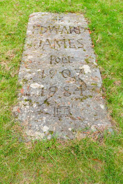
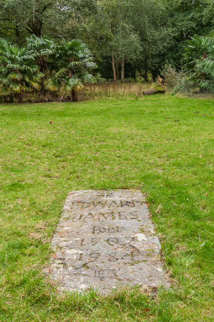
Bexley Bushes Images

Images are sourced within 2km of 50.881703/-0.75971459 or Grid Reference SU8709. Thanks to Geograph Open Source API. All images are credited.

Outer ditch, The Trundle An Iron Age fort, containing a smaller and much less well defined ditch of a  Neolithic fort.
Outer ditch, The Trundle
An Iron Age fort, containing a smaller and much less well defined ditch of a Neolithic fort.
Bank, The Trundle An Iron Age fort, containing a smaller and much less well defined ditch of a  Neolithic fort.
Bank, The Trundle
An Iron Age fort, containing a smaller and much less well defined ditch of a Neolithic fort.
Trig point on St Roche's Hill Goodwood racecourse down below.
Trig point on St Roche's Hill
Goodwood racecourse down below.
Communications mast, St Roche's Hill A remarkably lightweight structure, apparently replacing an earlier structure whose stub is over to the right.
Communications mast, St Roche's Hill
A remarkably lightweight structure, apparently replacing an earlier structure whose stub is over to the right.
Kennel Hill, Goodwood Racecourse Road ahead to the right.
Kennel Hill, Goodwood
Racecourse Road ahead to the right.
Goodwood Racecourse Goodwood Racecourse seen from The Trundle on St Roche's Hill.
Goodwood Racecourse
Goodwood Racecourse seen from The Trundle on St Roche's Hill.
Trig point, St Roche's Hill The trig point on St Roche's Hill with Goodwood Racecourse in the background.
Trig point, St Roche's Hill
The trig point on St Roche's Hill with Goodwood Racecourse in the background.
St Roche's Arboretum Cattle grid at the entrance to St Roche's Arboretum.
St Roche's Arboretum
Cattle grid at the entrance to St Roche's Arboretum.
West Dean Park Looking back into West Dean Park from the entrance to St Roche's Arboretum.
West Dean Park
Looking back into West Dean Park from the entrance to St Roche's Arboretum.
Grave of Edward James The grave of Edward James in a glade in St Roche's Arboretum in the West Dean estate.  Edward James inherited the estate in 1912 and remained its owner until he passed it to the Edward James Foundation in 1964, with the purpose of providing a place "where creative talents can be discovered and developed".  This went on to the creation of West Dean College, which provides courses in various crafts.  Through his wealth, he was able to pursue is interests as a poet and sponsor of the surreal arts, most famously as a patron of Salvador Dalí.  He died in 1984.

The inscription on his gravestone reads: "Edward James Poet 1907 – 1984 EJ".

For wider views see <a href="https://www.geograph.org.uk/photo/7629556">SU8611 : Grave of Edward James</a> and <a href="https://www.geograph.org.uk/photo/7629557">SU8611 : Grave of Edward James</a>.
Grave of Edward James
The grave of Edward James in a glade in St Roche's Arboretum in the West Dean estate. Edward James inherited the estate in 1912 and remained its owner until he passed it to the Edward James Foundation in 1964, with the purpose of providing a place "where creative talents can be discovered and developed". This went on to the creation of West Dean College, which provides courses in various crafts. Through his wealth, he was able to pursue is interests as a poet and sponsor of the surreal arts, most famously as a patron of Salvador Dalí. He died in 1984. The inscription on his gravestone reads: "Edward James Poet 1907 – 1984 EJ". For wider views see SU8611 : Grave of Edward James and SU8611 : Grave of Edward James.
Grave of Edward James The grave of Edward James in a glade in St Roche's Arboretum in the West Dean estate.  For a close up of the stone see <a href="https://www.geograph.org.uk/photo/7629554">SU8611 : Grave of Edward James</a>.
Grave of Edward James
The grave of Edward James in a glade in St Roche's Arboretum in the West Dean estate. For a close up of the stone see SU8611 : Grave of Edward James.
St Roche's Arboretum A track in St Roche's Arboretum on the West Dean estate.  The arboretum was started in the 1830s by the then owner of the estate, Sir James Peachey, 1st Lord Selsey, and developed further by Edward James in the 20th Century.  It suffered badly in the 1987 October storm, but a side benefit was that it enabled some of the previous overcrowding to be reduced.
St Roche's Arboretum
A track in St Roche's Arboretum on the West Dean estate. The arboretum was started in the 1830s by the then owner of the estate, Sir James Peachey, 1st Lord Selsey, and developed further by Edward James in the 20th Century. It suffered badly in the 1987 October storm, but a side benefit was that it enabled some of the previous overcrowding to be reduced.
St Roche's Arboretum An open area in St Roche's Arboretum on the West Dean estate.  The arboretum was started in the 1830s by the then owner of the estate, Sir James Peachey, 1st Lord Selsey, and developed further by Edward James in the 20th Century.  It suffered badly in the 1987 October storm, but a side benefit was that it enabled some of the previous overcrowding to be reduced.
St Roche's Arboretum
An open area in St Roche's Arboretum on the West Dean estate. The arboretum was started in the 1830s by the then owner of the estate, Sir James Peachey, 1st Lord Selsey, and developed further by Edward James in the 20th Century. It suffered badly in the 1987 October storm, but a side benefit was that it enabled some of the previous overcrowding to be reduced.
West Dean Park Sheep grazed parkland at West Dean.
West Dean Park
Sheep grazed parkland at West Dean.
Car park, St Roche's Hill The car park on St Roche's Hill, by the top of Knights Hill.
Car park, St Roche's Hill
The car park on St Roche's Hill, by the top of Knights Hill.
St Roche's Hill The trig point on St Roche's Hill with the coastal plain by Littlehampton and Bognor Regis in the background.
St Roche's Hill
The trig point on St Roche's Hill with the coastal plain by Littlehampton and Bognor Regis in the background.
Show me another place!

Bexley Bushes is located at Grid Ref: SU8709 (Lat: 50.881703, Lng: -0.75971459)

Administrative County: West Sussex

District: Chichester

Police Authority: Sussex

What 3 Words

///hats.collides.bags. Near Boxgrove, West Sussex

Related Wikis

The Trundle

The Trundle is an Iron Age hillfort on St Roche's Hill about 4 miles (6 km) north of Chichester, West Sussex, England, built on the site of a causewayed...

Chichester North (electoral division)

Chichester North is an electoral division of West Sussex in the United Kingdom, and returns one member to sit on West Sussex County Council. == Extent... ==
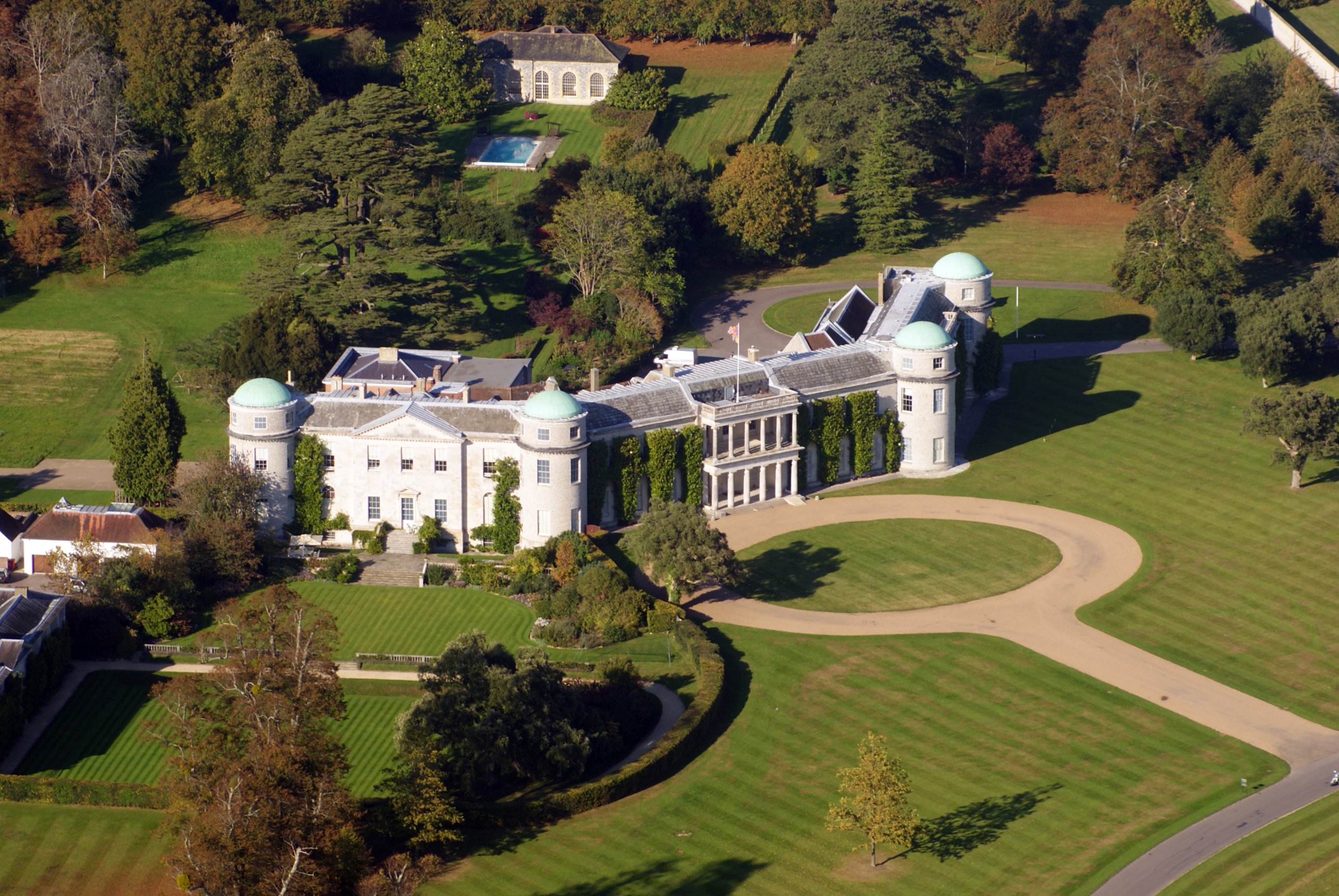
Goodwood House

Goodwood House is a country house and estate covering 4,900 hectares (49 km2) in Westhampnett, Chichester, West Sussex, England and is the seat of the...

Goodwood Cricket

Goodwood Cricket Club is a Sunday cricket team that play in the grounds of Goodwood Park, near Chichester. The ground overlooks Goodwood House and is owned...
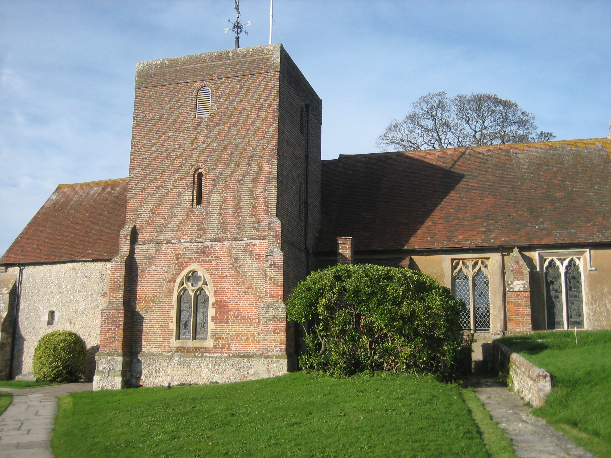
East Lavant

East Lavant is one part, which along with Mid Lavant make up the village of Lavant in the Chichester district of West Sussex, England. It lies just east...
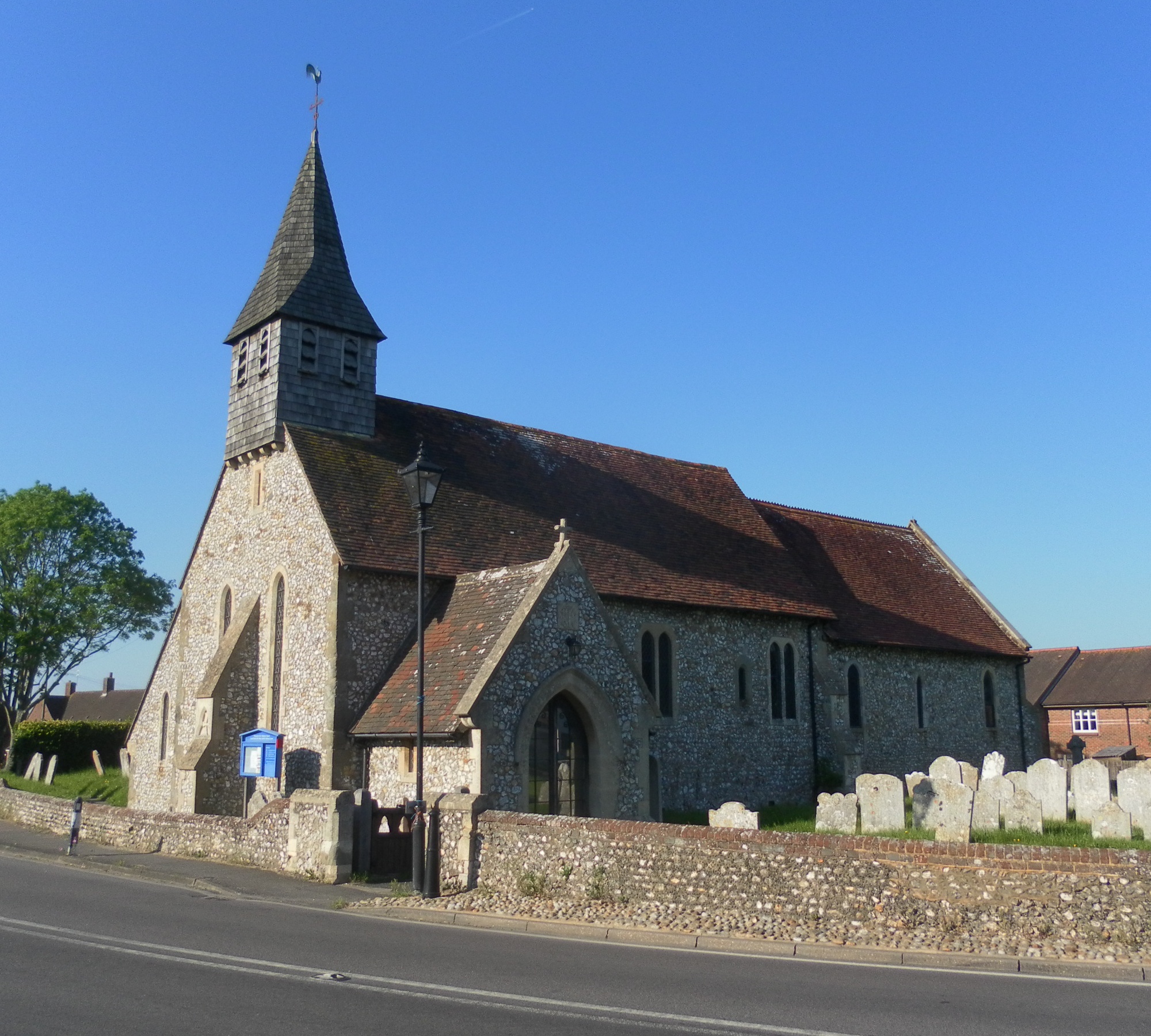
Lavant, West Sussex

Lavant is a civil parish in the Chichester district of West Sussex, England, 2.2 miles (3.5 km) north of Chichester. It includes three villages: Mid Lavant...
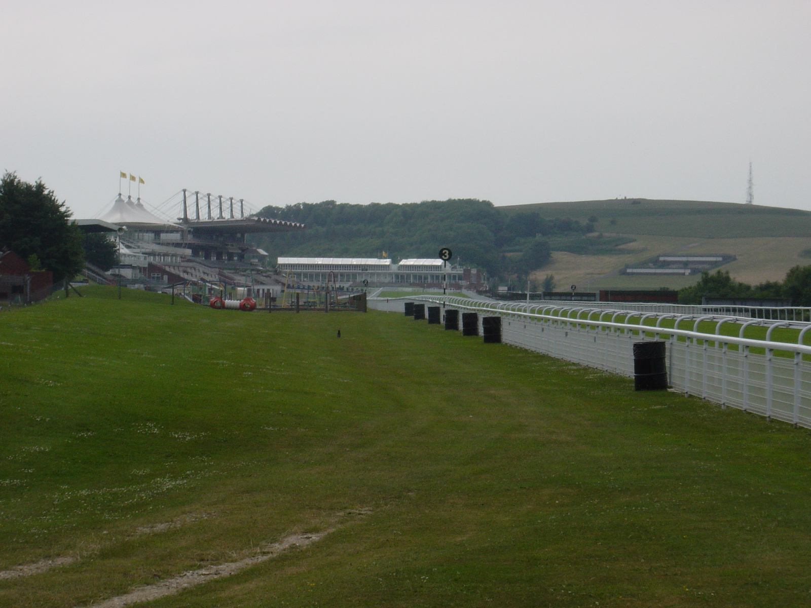
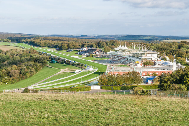
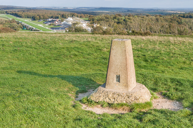
Goodwood Racecourse

Goodwood Racecourse is a horse-racing track five miles north of Chichester, West Sussex, in England controlled by the family of the Duke of Richmond, whose...

Lavant railway station

Lavant Railway Station served the village group of Lavant in the county of West Sussex in England. It was on the former London Brighton and South Coast...

Nearby Amenities

Located within 500m of 50.881703,-0.75971459
Lavant Down
Place: locality
Source: OS_OpenData_Streetview
Lat/Long: 50.8852997/-0.7582676
The data included in this document is from www.openstreetmap.org. The data is made available under ODbL.

Have you been to Bexley Bushes?

Leave your review of Bexley Bushes below (or comments, questions and feedback).