Westhampnett
Civil Parish in Sussex Chichester
England
Westhampnett
Westhampnett is a civil parish located in the district of Chichester, West Sussex, England. Situated approximately 3 miles northeast of the historic city of Chichester, Westhampnett covers an area of about 1,450 acres.
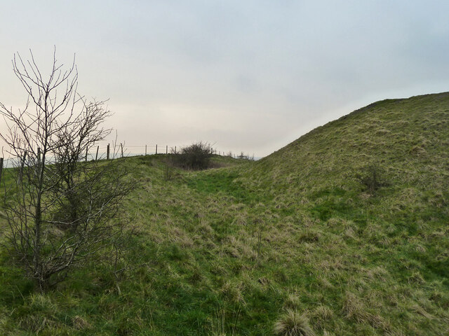
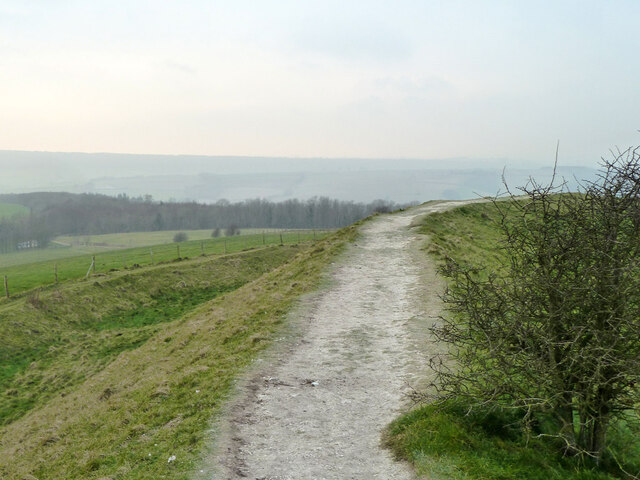
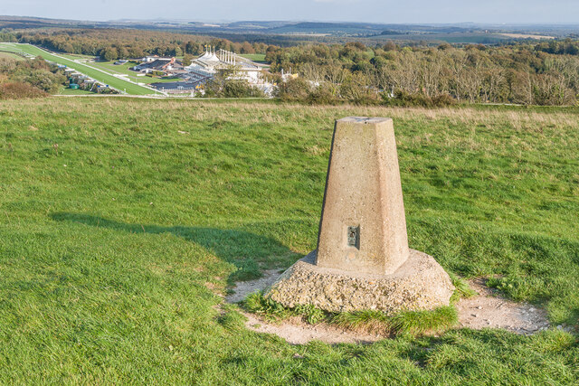
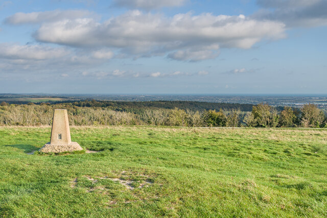
The parish is predominantly rural, with a small population of around 1,000 residents. It is characterized by its picturesque countryside, rolling hills, and charming villages. The area is known for its rich agricultural heritage, with farming being a significant economic activity in the region.
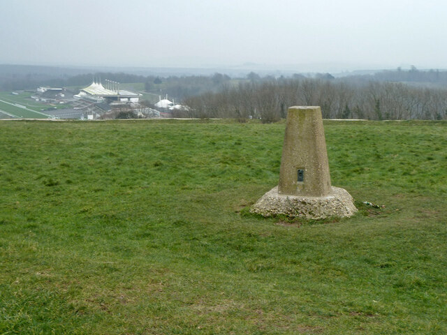
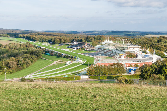
Westhampnett is home to several notable landmarks and attractions. The Goodwood Estate, a renowned country estate, is a prominent feature of the parish. Goodwood House, a stately home dating back to the 17th century, is surrounded by beautiful gardens and parkland. The estate is also famous for hosting various sporting events, including the prestigious Goodwood Festival of Speed and Goodwood Revival.
In addition to its agricultural and tourism sectors, Westhampnett is also a popular residential area. The parish offers a mix of traditional and modern housing, catering to a range of budgets and preferences.
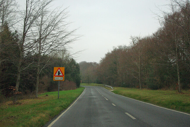
Transport links in Westhampnett are well-developed, with the A27 road passing through the parish, providing easy access to Chichester and other nearby towns. Chichester railway station is also conveniently located, offering regular services to London and other major cities.
Overall, Westhampnett is a picturesque and thriving civil parish, combining its rural charm with modern amenities and historical significance.
If you have any feedback on the listing, please let us know in the comments section below.
Westhampnett Images
Images are sourced within 2km of 50.875134/-0.751057 or Grid Reference SU8709. Thanks to Geograph Open Source API. All images are credited.


Westhampnett is located at Grid Ref: SU8709 (Lat: 50.875134, Lng: -0.751057)
Administrative County: West Sussex
District: Chichester
Police Authority: Sussex
What 3 Words
///hike.cold.preheated. Near Boxgrove, West Sussex
Nearby Locations
Related Wikis
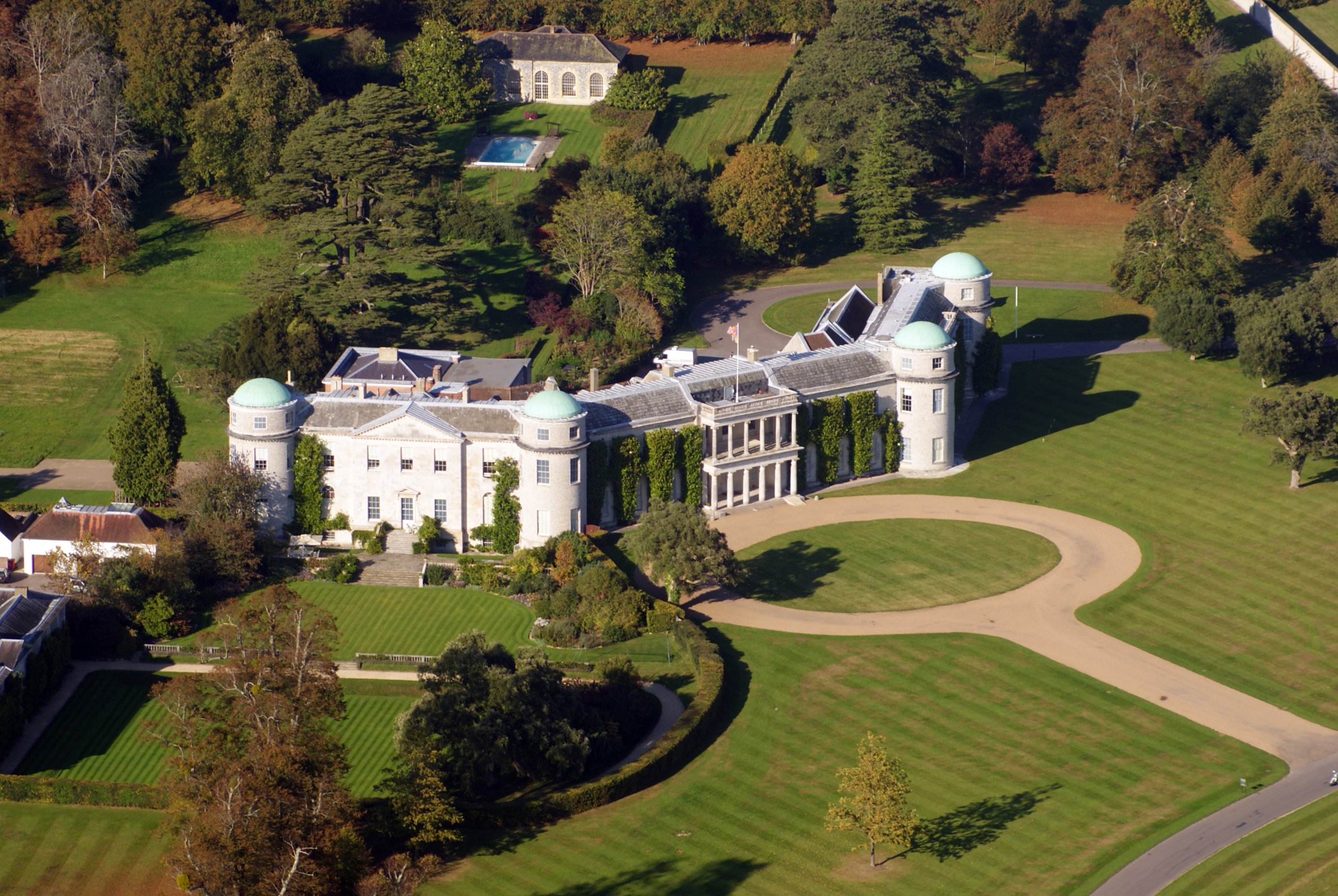
Goodwood House
Goodwood House is a country house and estate covering 4,900 hectares (49 km2) in Westhampnett, Chichester, West Sussex, England and is the seat of the...

Goodwood Cricket
Goodwood Cricket Club is a Sunday cricket team that play in the grounds of Goodwood Park, near Chichester. The ground overlooks Goodwood House and is owned...
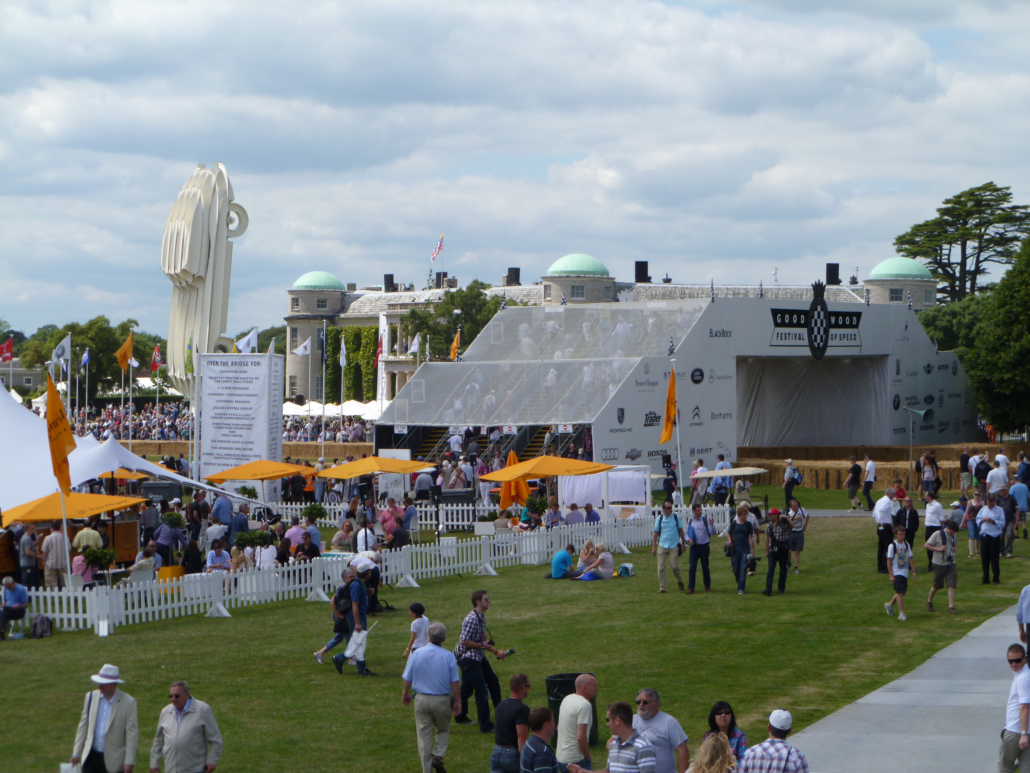
Goodwood Festival of Speed
The Goodwood Festival of Speed is an annual motorsports festival featuring modern and historic motor racing vehicles taking part in a hill climb and other...

RAF Westhampnett
Royal Air Force Westhampnett or more simply RAF Westhampnett is a former Royal Air Force satellite station, located in the village of Westhampnett near...

Goodwood Revival
The Goodwood Revival is a three-day festival held each September at Goodwood Circuit since 1998 for the types of racing cars and motorcycles that would...

Goodwood Roller Marathon
Goodwood Roller Marathon was an annual charity race around the historic Goodwood Motor Circuit organised by the Camberley Skaters. The event officially...

Chichester/Goodwood Airport
Chichester/Goodwood Airport (IATA: QUG, ICAO: EGHR), normally referred to as Goodwood Airfield or Goodwood Aerodrome is located 1.5 nautical miles (2.8...

Goodwood Circuit
Goodwood Circuit is a historic venue for both two- and four-wheeled motorsport in the United Kingdom. The 2.367-mile (3.809 km) circuit is situated near...
Nearby Amenities
Located within 500m of 50.875134,-0.751057Have you been to Westhampnett?
Leave your review of Westhampnett below (or comments, questions and feedback).