West Copse

Wood, Forest in Sussex Chichester

England

West Copse

Woolbeding Common - the western slopes of Telegraph Hill
Woolbeding Common - the western slopes of Telegraph Hill Credit: Ian Cunliffe

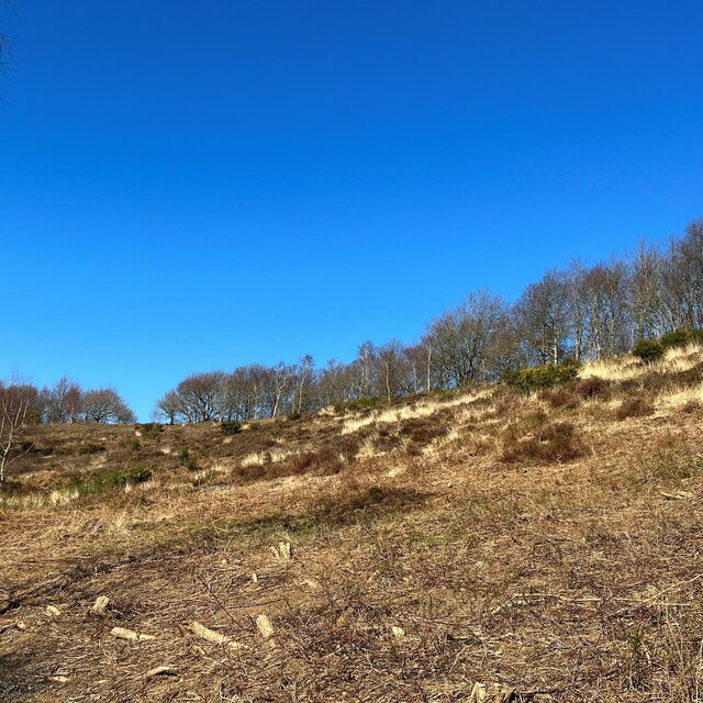
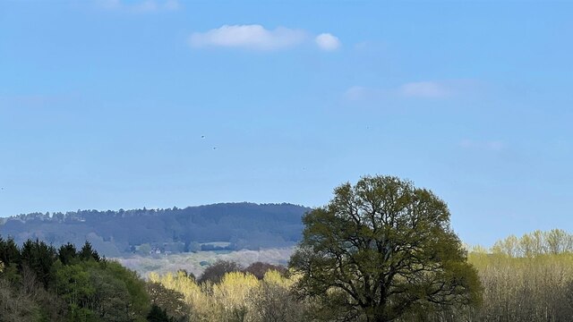
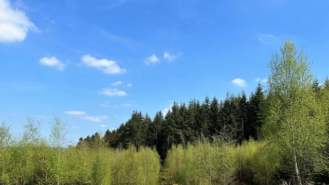
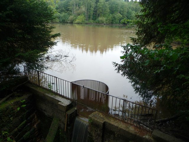
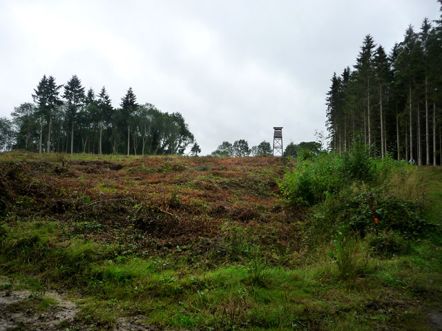
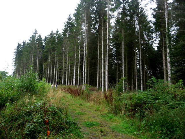
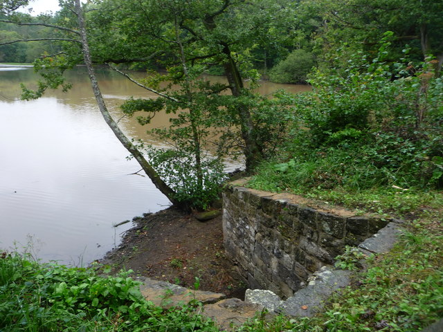
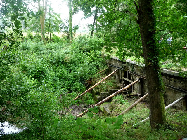
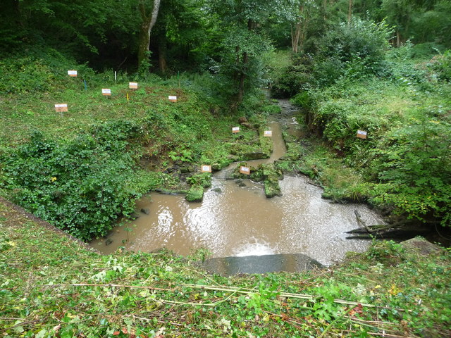
West Copse is a picturesque wood located in the county of Sussex, England. Situated in the heart of the South Downs National Park, it covers an area of approximately 100 acres. The copse is a diverse mixture of broadleaf trees, including oak, beech, ash, and birch, creating a rich and vibrant woodland ecosystem.

The forest floor is covered by a lush carpet of mosses, ferns, and wildflowers, adding to the enchanting atmosphere of the area. There is also an abundance of wildlife in West Copse, with various species of birds, insects, and small mammals calling it home.

Visitors to West Copse can enjoy a network of well-maintained trails that wind through the woods, offering opportunities for leisurely strolls, birdwatching, and photography. The paths are accessible for people of all ages and abilities, making it a popular destination for families and nature enthusiasts alike.

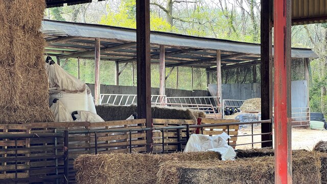
In addition to its natural beauty, West Copse also has historical significance. The wood has been managed by local communities for centuries, and remnants of ancient woodland management practices can still be seen, such as coppiced trees and ditches. These practices have helped maintain the diverse range of plant and animal species that thrive in the area.

Overall, West Copse is a captivating woodland retreat, offering visitors a chance to immerse themselves in nature's tranquility while exploring its rich biodiversity. Whether it's a peaceful walk through the trees or a chance to spot some of the area's wildlife, West Copse is a haven for those seeking a connection with the natural world.

If you have any feedback on the listing, please let us know in the comments section below.
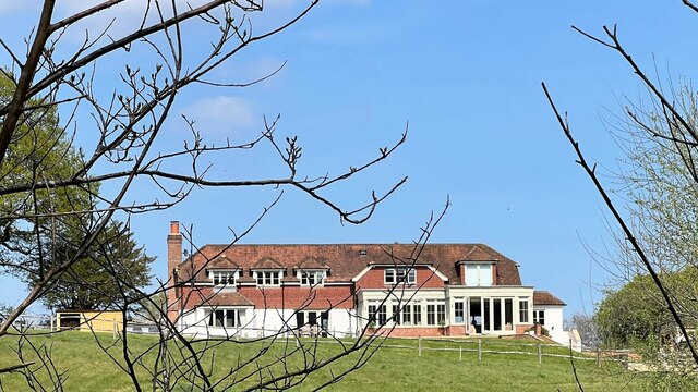
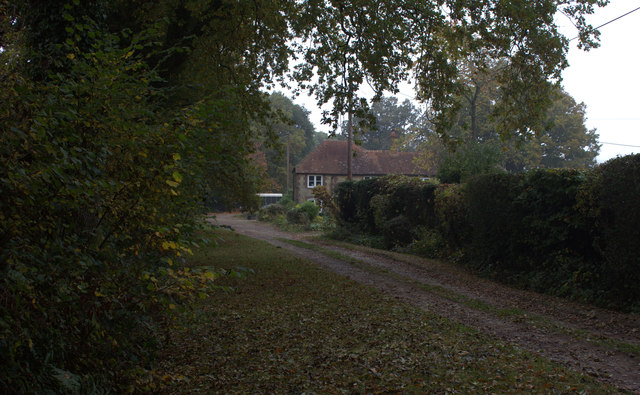
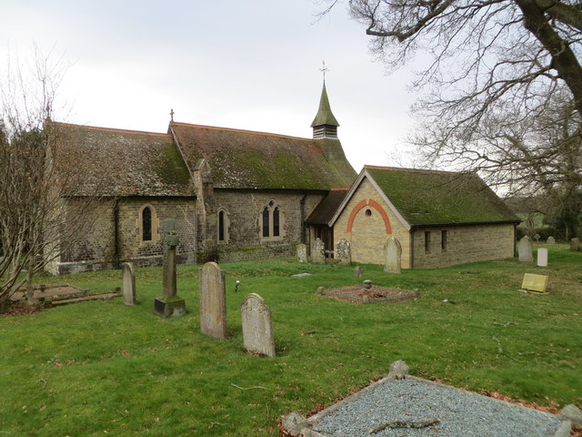
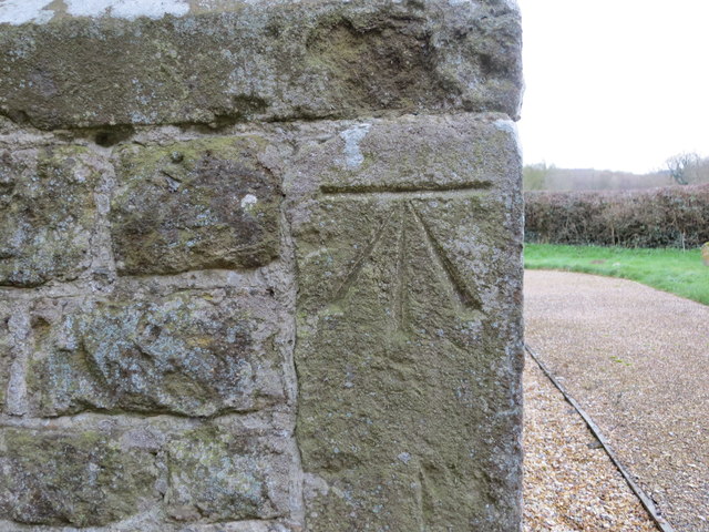
West Copse Images

Images are sourced within 2km of 51.032804/-0.75759707 or Grid Reference SU8726. Thanks to Geograph Open Source API. All images are credited.

Woolbeding Common - the western slopes of Telegraph Hill
House on Linch Road This striking house has an old-style telephone box painted green to match its exterior woodwork. Other pics in the grid square suggest it was previously a shop and a post office. Perhaps it still is? I don't think so, but I didn't check. This would account for the phone box anyway.
House on Linch Road
This striking house has an old-style telephone box painted green to match its exterior woodwork. Other pics in the grid square suggest it was previously a shop and a post office. Perhaps it still is? I don't think so, but I didn't check. This would account for the phone box anyway.
Logs near the Serpent Trail It didn't occur to me when I took the photo, but this composition now says "Ukrainian flag" to me.
Logs near the Serpent Trail
It didn't occur to me when I took the photo, but this composition now says "Ukrainian flag" to me.
Houses at Brackenwood There is a striking collection of upmarket, newly-built houses in this area.
Houses at Brackenwood
There is a striking collection of upmarket, newly-built houses in this area.
View NE towards Black Down
Barn on Whites Lane
Barn on Whites Lane
Stonework on barn at Lower North Park Farm
Woodland on the NE side of Telegraph Hill
Large house SE of Upper Lodge This was the clearest shot I could get. The map labels this plot as "Yew Tree Cottage", but I'm a bit doubtful about that. It doesn't sound right for a property of this size.
Large house SE of Upper Lodge
This was the clearest shot I could get. The map labels this plot as "Yew Tree Cottage", but I'm a bit doubtful about that. It doesn't sound right for a property of this size.
Elmer's Marsh New Lipchis Way footpath joins the road here at Elmer's Marsh
Elmer's Marsh
New Lipchis Way footpath joins the road here at Elmer's Marsh
The Church of St Luke serving Linch with Iping Marsh Viewed from the north-east.
The Church of St Luke serving Linch with Iping Marsh
Viewed from the north-east.
Ordnance Survey Cut Mark This mark can be found on the wall of St Luke's Church at Woodmansgreen.
For more detail see : <span class="nowrap"><a title="http://www.bench-marks.org.uk/bm83714" rel="nofollow ugc noopener" href="http://www.bench-marks.org.uk/bm83714">Link</a><img style="margin-left:2px;" alt="External link" title="External link - shift click to open in new window" src="https://s1.geograph.org.uk/img/external.png" width="10" height="10"/></span>
Ordnance Survey Cut Mark
This mark can be found on the wall of St Luke's Church at Woodmansgreen. For more detail see : LinkExternal link
Outfall from Furnace pond
Watch tower south of furnace pond
Track south of furnace pond
Sluice outlet from furnace pond
The dam wall of the furnace pond In need of support and restoration.
The dam wall of the furnace pond
In need of support and restoration.
Iron works (site of), as shown on map
Show me another place!

West Copse is located at Grid Ref: SU8726 (Lat: 51.032804, Lng: -0.75759707)

Administrative County: West Sussex

District: Chichester

Police Authority: Sussex

What 3 Words

///windows.glance.wipe. Near Fernhurst, West Sussex

Nearby Locations

Telegraph Hill West Copse

Related Wikis

Linch

Linch is an Anglican parish, and a loose collection of hamlets that make up the civil parish of the same name in the Chichester District of West Sussex...

Titty Hill

Titty Hill is a hamlet in the civil parish of Milland in the Chichester district of West Sussex, England. It is close to a Roman way station or mansio...

Western Weald

The western Weald is an area of undulating countryside in Hampshire and West Sussex containing a mixture of woodland and heathland areas. It lies to the...

Wispers

Wispers is a Grade II listed British country house in the parish of Stedham with Iping near Midhurst, West Sussex. The house was built in 1874–1876 by...

Cooksbridge Meadow

Cooksbridge Meadow is a 9-hectare (22-acre) nature reserve south of Fernhurst in Sussex. It is managed by the Sussex Wildlife Trust.Most of this site...

Perry Copse Outcrop

Perry Copse Outcrop is a 0.2-hectare (0.49-acre) geological Site of Special Scientific Interest in Fernhurst in West Sussex. It is a Geological Conservation...

Fernhurst

Fernhurst is a village and civil parish in the Chichester District of West Sussex, England, on the A286 Milford, Surrey, to Chichester road, 3 miles (4...

Hollycombe Steam Collection

The Hollycombe Steam Collection is a collection of steam-powered vehicles, amusement rides, and attractions in South East England. It is based in West...

Nearby Amenities

Located within 500m of 51.032804,-0.75759707
Older Hill
Place: locality
Lat/Long: 51.030886/-0.7626635
Place: locality
Lat/Long: 51.0315261/-0.7640953
Telegraph Hill
Place: locality
Lat/Long: 51.0304/-0.759639
Barrier: stile
Lat/Long: 51.0327766/-0.7619026
Ele: 183
Man Made: survey_point
Ref: S1676
Lat/Long: 51.030467/-0.7636427
Power: pole
Lat/Long: 51.0298503/-0.7620317
Power: pole
Lat/Long: 51.0313314/-0.7627881
Power: pole
Lat/Long: 51.0330688/-0.7629168
Power: pole
Lat/Long: 51.0343035/-0.7613879
Power: pole
Lat/Long: 51.035835/-0.7594889
Power: pole
Lat/Long: 51.0372551/-0.7576972
The data included in this document is from www.openstreetmap.org. The data is made available under ODbL.

Have you been to West Copse?

Leave your review of West Copse below (or comments, questions and feedback).