Coleby Wood

Wood, Forest in Lincolnshire

England

Coleby Wood

Burton upon Stather - High Street
Burton upon Stather - High Street Credit: Colin Park

Coleby Wood is a small village located in the county of Lincolnshire, England. Situated in the district of North Kesteven, it is nestled within the Lincolnshire Wolds, an Area of Outstanding Natural Beauty. The village takes its name from the Old English words "col," meaning coal, and "by," meaning a settlement or village, indicating a historical association with coal mining.

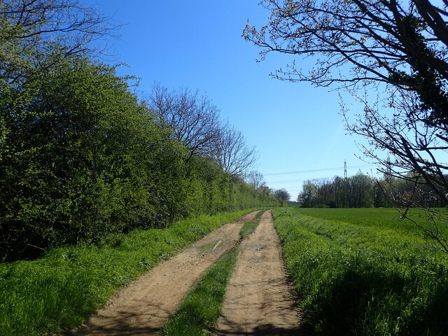
With a population of around 300 residents, Coleby Wood offers a tranquil and rural setting for those seeking a peaceful lifestyle. Surrounded by picturesque countryside, the village is known for its scenic beauty, attracting nature lovers and outdoor enthusiasts. The nearby Coleby Cliff Wood is a popular destination for walking and hiking, providing stunning views of the surrounding landscape.

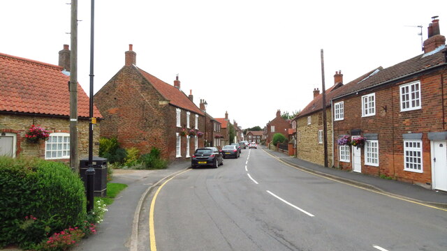
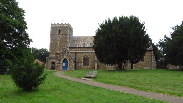
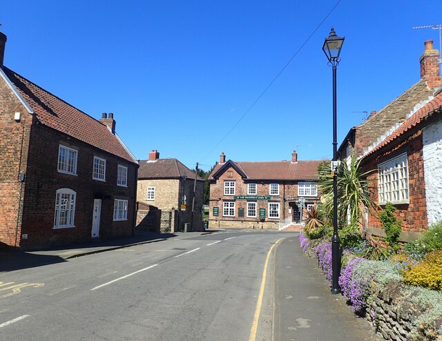
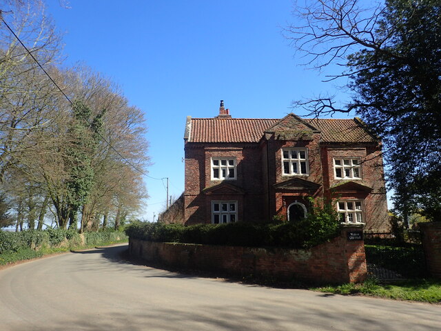
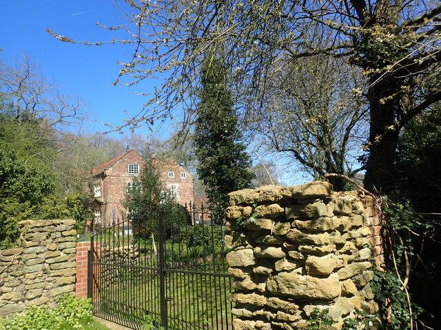
The village itself features a range of charming cottages and traditional buildings, many of which date back to the 18th and 19th centuries. The local community is tight-knit, with a friendly and welcoming atmosphere. The village also has a primary school and a village hall, which serves as a hub for social gatherings and community events.

Despite its small size, Coleby Wood benefits from good transportation links. It is located just a short drive away from the A607 road, providing easy access to nearby towns and cities. The city of Lincoln is approximately 10 miles to the north, offering a range of amenities and cultural attractions.

Overall, Coleby Wood is a delightful village that offers a peaceful and idyllic lifestyle, surrounded by natural beauty and a strong sense of community.

If you have any feedback on the listing, please let us know in the comments section below.
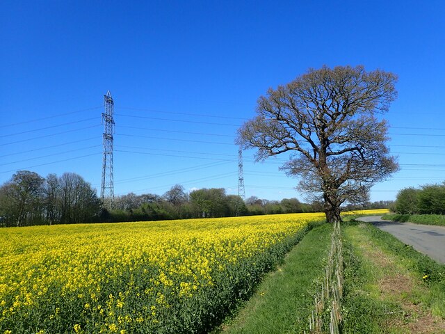
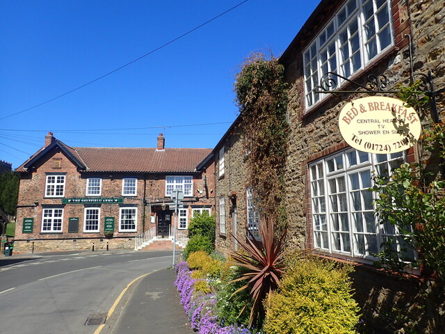
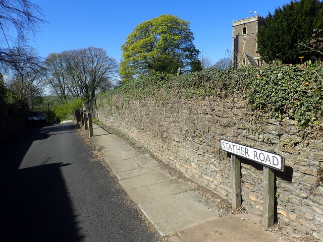
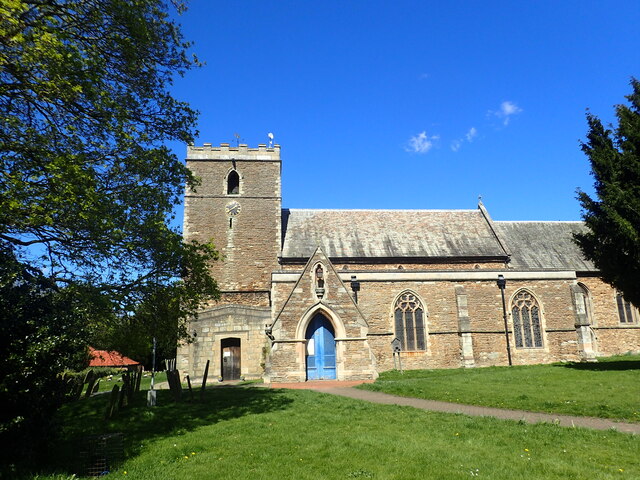
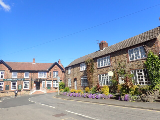
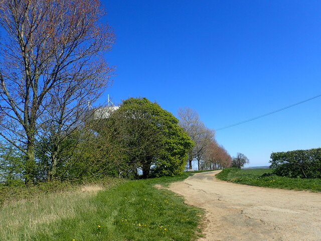
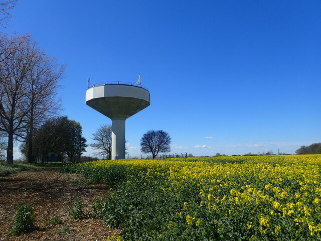
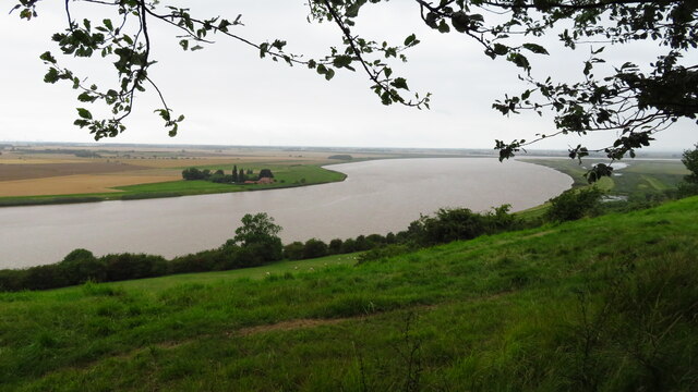
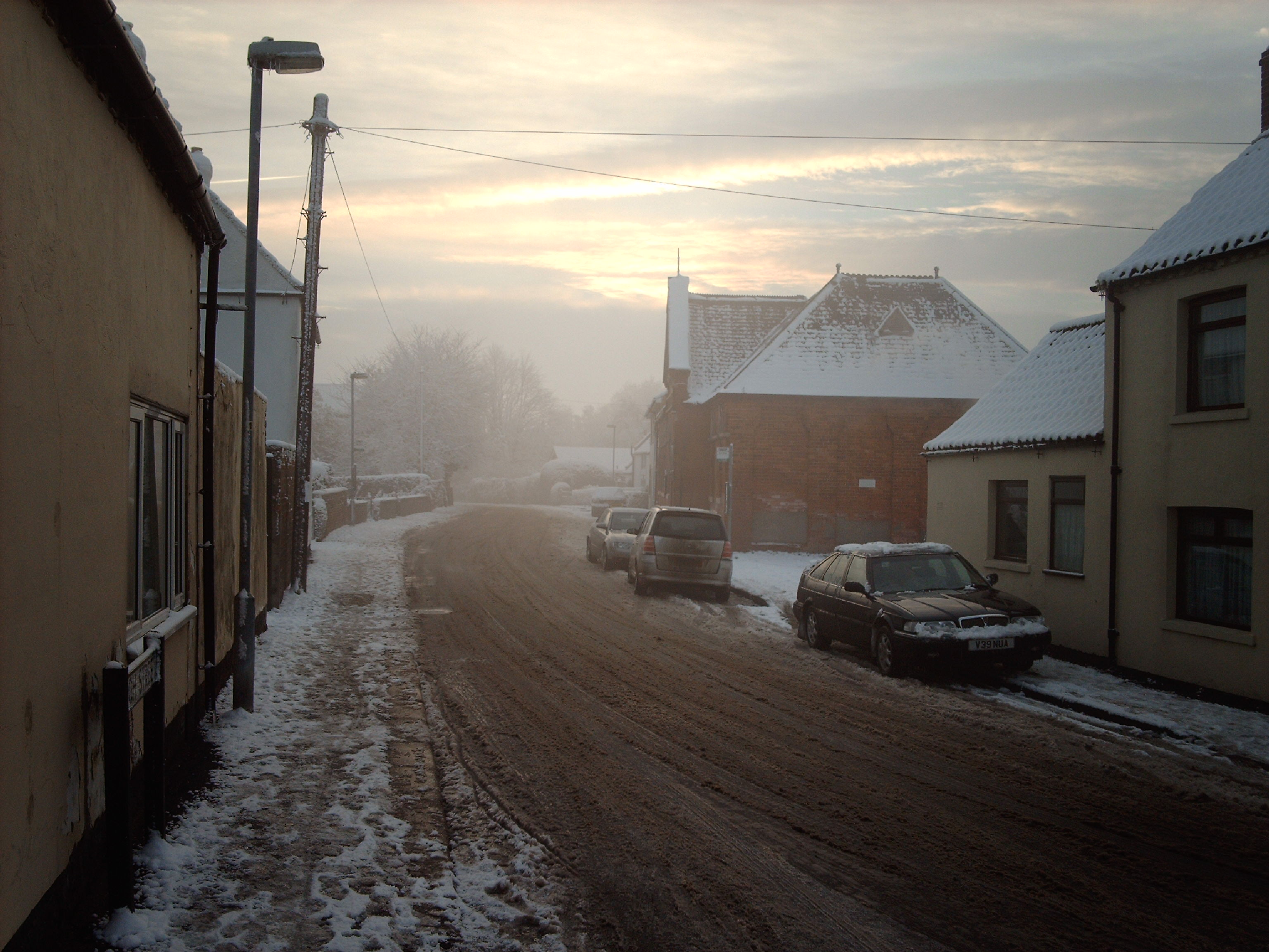
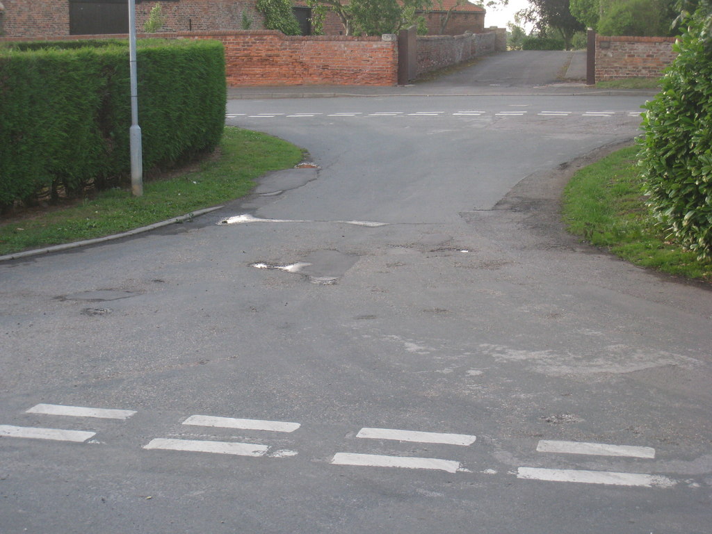
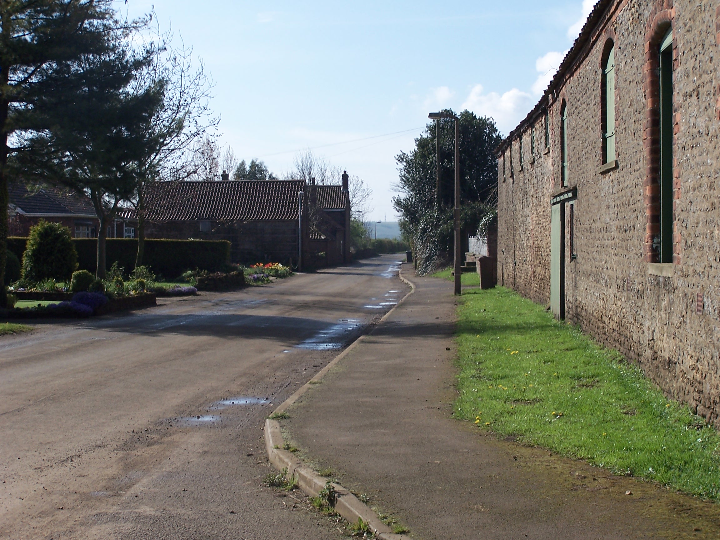
Coleby Wood Images

Images are sourced within 2km of 53.663856/-0.68158554 or Grid Reference SE8719. Thanks to Geograph Open Source API. All images are credited.

Burton upon Stather - High Street
Burton upon Stather - St Andrew's Church
High Street, Burton upon Stather The centre of Burton upon Stather is attractive, as can be seen here. The church is round the corner ahead, to the left. The Sheffield Arms relates to the Sheffield family whose monuments are in the church.
High Street, Burton upon Stather
The centre of Burton upon Stather is attractive, as can be seen here. The church is round the corner ahead, to the left. The Sheffield Arms relates to the Sheffield family whose monuments are in the church.
Water tower at Burton upon Stather The blue sky and the yellow of oilseed rape add to the colour of the scene. This is one of many different designs of water towers - see the one at Haxey <a title="www.geograph.org.uk/photo/6264787" href="https://www.geograph.org.uk/photo/6264787">Link</a>
Water tower at Burton upon Stather
The blue sky and the yellow of oilseed rape add to the colour of the scene. This is one of many different designs of water towers - see the one at Haxey Link
Walcot Road A double line of pylons crosses over the road just ahead.
Walcot Road
A double line of pylons crosses over the road just ahead.
High Street, Burton upon Stather The centre of Burton upon Stather is attractive, as can be seen here. The church is round the corner ahead, to the left. The Sheffield Arms relates to the Sheffield family whose monuments are in the church.
High Street, Burton upon Stather
The centre of Burton upon Stather is attractive, as can be seen here. The church is round the corner ahead, to the left. The Sheffield Arms relates to the Sheffield family whose monuments are in the church.
Stather Road Stather Road in Burton upon Stather runs steeply downhill to reach Burton Stather alongside the River Trent.
Stather Road
Stather Road in Burton upon Stather runs steeply downhill to reach Burton Stather alongside the River Trent.
St Andrew's Church, Burton upon Stather The church was almost entirely rebuilt in 1865 but the tower is Early English and other parts of the church are late 12th century.
St Andrew's Church, Burton upon Stather
The church was almost entirely rebuilt in 1865 but the tower is Early English and other parts of the church are late 12th century.
High Street, Burton upon Stather The centre of Burton upon Stather is attractive, as can be seen here. The church is round the corner ahead, to the left. The Sheffield Arms relates to the Sheffield family whose monuments are in the church.
High Street, Burton upon Stather
The centre of Burton upon Stather is attractive, as can be seen here. The church is round the corner ahead, to the left. The Sheffield Arms relates to the Sheffield family whose monuments are in the church.
Looking towards the water tower at Burton upon Stather A photograph of the water tower from the other side can be seen at <a title="www.geograph.org.uk/photo/7465003" href="https://www.geograph.org.uk/photo/7465003">Link</a>  This view is from where Tee Lane turns sharply westwards to become Walcot Road.
Looking towards the water tower at Burton upon Stather
A photograph of the water tower from the other side can be seen at Link This view is from where Tee Lane turns sharply westwards to become Walcot Road.
Water tower at Burton upon Stather The blue sky and the yellow of oilseed rape add to the colour of the scene. This is one of many different designs of water towers - see the one at Haxey <a title="www.geograph.org.uk/photo/6264787" href="https://www.geograph.org.uk/photo/6264787">Link</a>
Water tower at Burton upon Stather
The blue sky and the yellow of oilseed rape add to the colour of the scene. This is one of many different designs of water towers - see the one at Haxey Link
Looking towards Coleby Wood This view is from a gap in the hedge on Walcot Road.
Looking towards Coleby Wood
This view is from a gap in the hedge on Walcot Road.
Looking towards Coleby Wood Coleby Wood is seen here across a field of oilseed rape. Walcot Road lies beyond the hedge.
Looking towards Coleby Wood
Coleby Wood is seen here across a field of oilseed rape. Walcot Road lies beyond the hedge.
Looking along Walcot Road The pylons rise up beyond a field of oilseed rape.
Looking along Walcot Road
The pylons rise up beyond a field of oilseed rape.
Island House & the River Trent from Hill Top Plantation near Walcot
Track off Walcot Road This track leads off Walcot Road, just south of Walcot.
Track off Walcot Road
This track leads off Walcot Road, just south of Walcot.
Walcot Old Hall Walcot Old Hall dates from the mid-17th century and is across the road from Walcot Hall which is mid-Georgian.
Walcot Old Hall
Walcot Old Hall dates from the mid-17th century and is across the road from Walcot Hall which is mid-Georgian.
Walcot Old Hall Walcot Old Hall dates from the mid-17th century and is across the road from Walcot Hall which is mid-Georgian. See also <a title="www.geograph.org.uk/photo/7468472" href="https://www.geograph.org.uk/photo/7468472">Link</a>
Walcot Old Hall
Walcot Old Hall dates from the mid-17th century and is across the road from Walcot Hall which is mid-Georgian. See also Link
Show me another place!

Coleby Wood is located at Grid Ref: SE8719 (Lat: 53.663856, Lng: -0.68158554)

Unitary Authority: North Lincolnshire

Police Authority: Humberside

What 3 Words

///prickly.firm.playback. Near Burton upon Stather, Lincolnshire

Related Wikis

Burton upon Stather

Burton upon Stather, also hyphenated as Burton-upon-Stather, is a village and civil parish in North Lincolnshire, England. The village is situated 5 miles...

Waterton, Lincolnshire

Waterton is a Deserted Medieval Village on the River Trent near Garthorpe (where any residual population is included) and Luddington in the Isle of Axholme...

Julian's Bower

Julian's Bower or Julian Bower is a name given to turf mazes in several different parts of England. Only one of this name still exists, at Alkborough in...

Garthorpe, Lincolnshire

Garthorpe is a village and former civil parish, now in the parish of Garthorpe and Fockerby, in the North Lincolnshire district, in the ceremonial county...
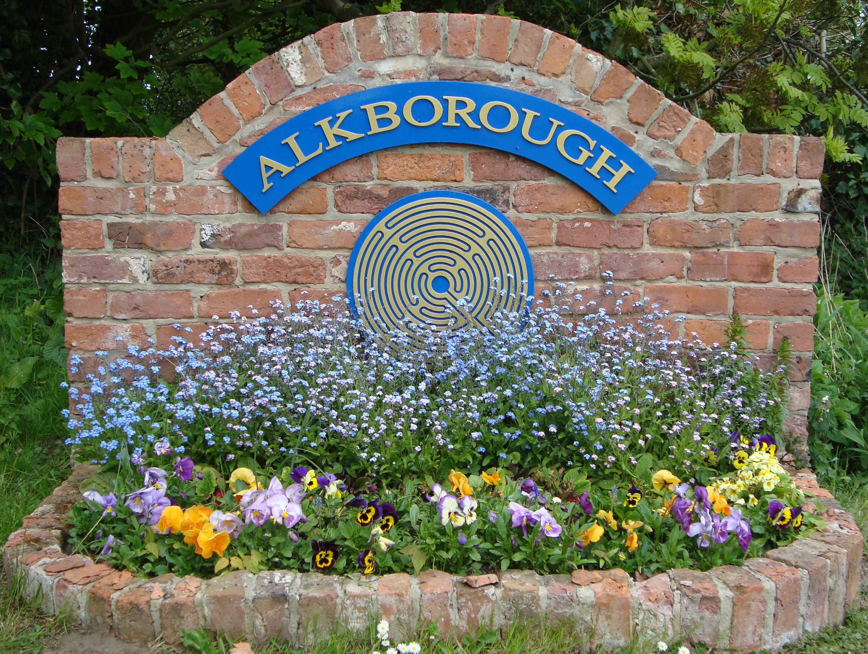
Alkborough

Alkborough is a parish of 471 people in 192 households (2021 census) in North Lincolnshire, England, located near the northern end of The Cliff range of...

Fockerby

Fockerby is a village in North Lincolnshire, England. It is situated approximately 8 miles (13 km) south-east from Goole and 1 mile (1.6 km) west from...

Coleby, North Lincolnshire

Coleby is a hamlet in the civil parish of West Halton in North Lincolnshire, England. It is situated approximately 7 miles (11 km) north from Scunthorpe...

Fockerby railway station

Fockerby railway station was a station in Fockerby, Lincolnshire. It served as the terminus of a branch of the Axholme Joint Railway. It is now closed...

Nearby Amenities

Located within 500m of 53.663856,-0.68158554
The Cliff
Place: locality
Source: Bing
Lat/Long: 53.6631778/-0.6886057
The data included in this document is from www.openstreetmap.org. The data is made available under ODbL.

Have you been to Coleby Wood?

Leave your review of Coleby Wood below (or comments, questions and feedback).