Telegraph Hill
Hill, Mountain in Sussex Chichester
England
Telegraph Hill
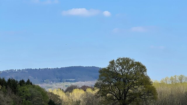
Telegraph Hill is a prominent landmark located in East Sussex, England. Rising approximately 244 meters (800 feet) above sea level, it is considered one of the highest points in the county. Situated near the town of Telscombe, Telegraph Hill offers breathtaking panoramic views of the surrounding countryside, the English Channel, and even the French coast on clear days.
The hill's name derives from its historical significance as a telegraph station during the Napoleonic era. In the early 19th century, a semaphore telegraph tower was constructed atop the hill, enabling communication between London and ships in the English Channel. Although the tower is no longer standing, the hill still bears the name as a testament to its past role.
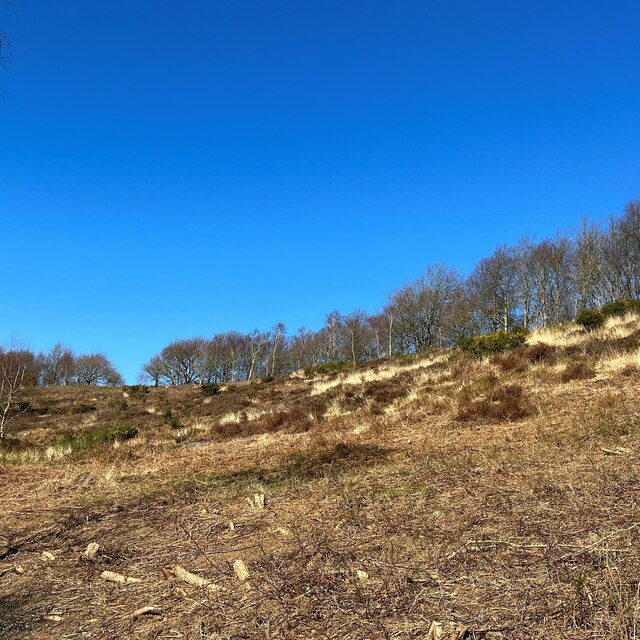
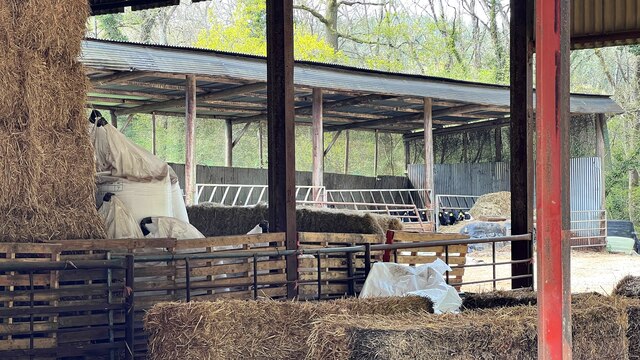
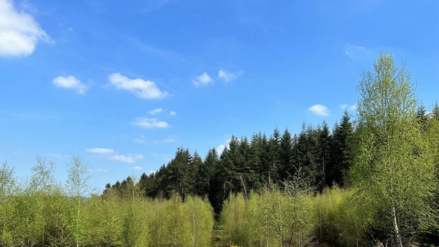
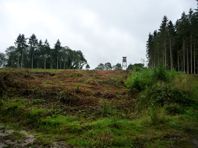
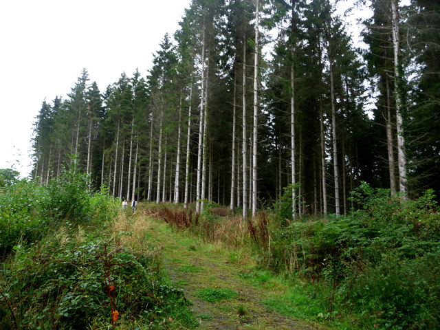
The landscape of Telegraph Hill is predominantly characterized by rolling hills covered in lush grassland, interspersed with patches of woodland. The area is a haven for wildlife, with several species of birds, insects, and small mammals calling it home. Walking and hiking trails crisscross the hill, allowing visitors to explore its natural beauty and enjoy the stunning vistas.
Telegraph Hill also holds cultural and recreational significance. The annual Telegraph Hill Festival, held in nearby New Cross, celebrates the local community's creativity with a diverse range of events, including music performances, art exhibitions, and theater productions. Additionally, the hill is a popular spot for paragliding and kite-flying enthusiasts due to its favorable wind conditions.
In conclusion, Telegraph Hill in Sussex stands as a captivating landmark, offering both historical significance and natural beauty that attracts locals and visitors alike.
If you have any feedback on the listing, please let us know in the comments section below.
Telegraph Hill Images
Images are sourced within 2km of 51.030712/-0.75964951 or Grid Reference SU8726. Thanks to Geograph Open Source API. All images are credited.

Telegraph Hill is located at Grid Ref: SU8726 (Lat: 51.030712, Lng: -0.75964951)
Administrative County: West Sussex
District: Chichester
Police Authority: Sussex
What 3 Words
///ants.ponies.simmer. Near Fernhurst, West Sussex
Nearby Locations
Related Wikis

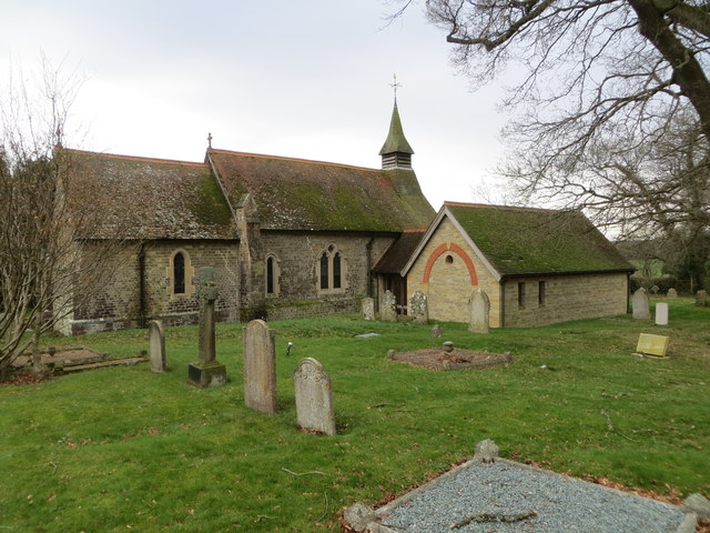
Linch
Linch is an Anglican parish, and a loose collection of hamlets that make up the civil parish of the same name in the Chichester District of West Sussex...

Titty Hill
Titty Hill is a hamlet in the civil parish of Milland in the Chichester district of West Sussex, England. It is close to a Roman way station or mansio...

Wispers
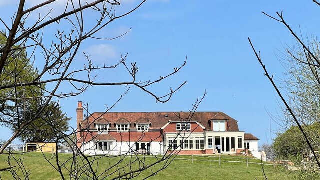
Wispers is a Grade II listed British country house in the parish of Stedham with Iping near Midhurst, West Sussex. The house was built in 1874–1876 by...
Western Weald
The western Weald is an area of undulating countryside in Hampshire and West Sussex containing a mixture of woodland and heathland areas. It lies to the...

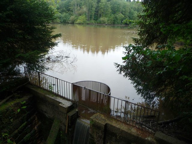
Cooksbridge Meadow
Cooksbridge Meadow is a 9-hectare (22-acre) nature reserve south of Fernhurst in Sussex. It is managed by the Sussex Wildlife Trust.Most of this site...

Perry Copse Outcrop
Perry Copse Outcrop is a 0.2-hectare (0.49-acre) geological Site of Special Scientific Interest in Fernhurst in West Sussex. It is a Geological Conservation...

Fernhurst
Fernhurst is a village and civil parish in the Chichester District of West Sussex, England, on the A286 Milford, Surrey, to Chichester road, 3 miles (4...

Milland
Milland is a village and civil parish in the Chichester district of West Sussex, England. It is situated north of the A272 road on the border with Hampshire...
Nearby Amenities
Located within 500m of 51.030712,-0.75964951Have you been to Telegraph Hill?
Leave your review of Telegraph Hill below (or comments, questions and feedback).