Belgium Plantation

Wood, Forest in Lincolnshire South Kesteven

England

Belgium Plantation

The Gatehouse The gatehouse for Denton Manor.  These are a grade II listed building - see <span class="nowrap"><a title="https://historicengland.org.uk/listing/the-list/list-entry/1147559" rel="nofollow ugc noopener" href="https://historicengland.org.uk/listing/the-list/list-entry/1147559">Link</a><img style="margin-left:2px;" alt="External link" title="External link - shift click to open in new window" src="https://s1.geograph.org.uk/img/external.png" width="10" height="10"/></span>
The Gatehouse Credit: Bob Harvey

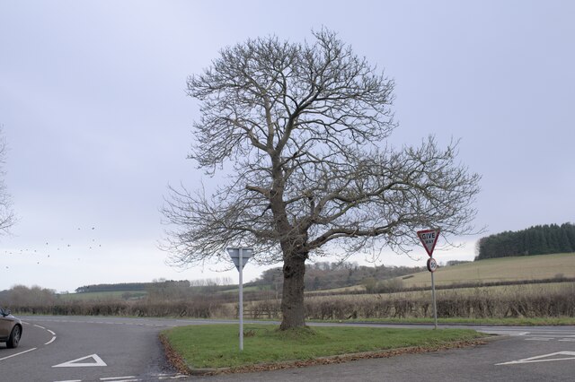
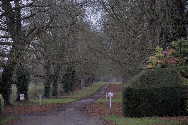
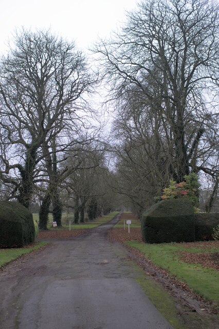
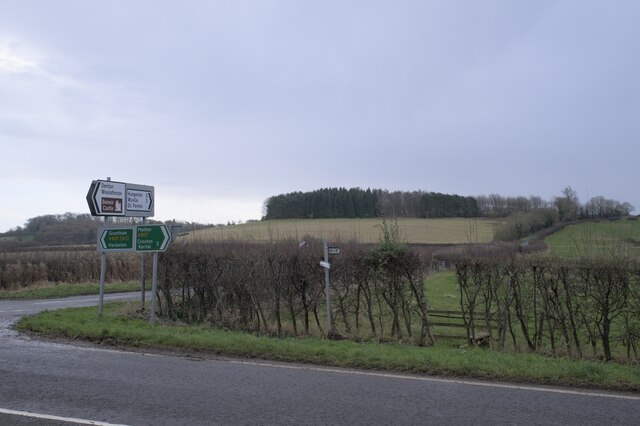
Belgium Plantation is a sprawling woodland situated in the county of Lincolnshire, England. Covering an expansive area, this plantation is known for its serene and picturesque surroundings, making it a popular destination for nature enthusiasts and outdoor adventurers alike.

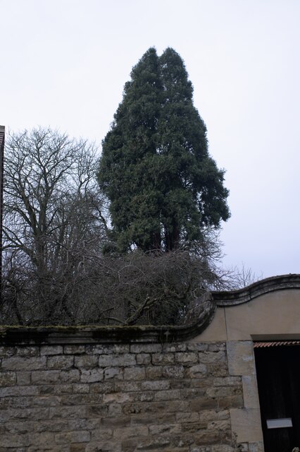
The plantation is predominantly composed of a dense forest, characterized by a variety of indigenous tree species such as oak, beech, and birch. The towering trees provide ample shade, creating a cool and tranquil atmosphere throughout the woodland. Walking along the well-maintained trails, visitors can immerse themselves in the peaceful ambiance while observing the diverse flora and fauna that call Belgium Plantation home.

In addition to its natural beauty, the plantation offers various recreational activities for visitors to enjoy. There are designated picnic areas where families and friends can gather for a delightful outdoor meal amidst the scenic surroundings. The woodland also provides an ideal setting for hiking and cycling, with numerous trails meandering through the forest, catering to different levels of difficulty.

Furthermore, Belgium Plantation serves as an important habitat for several wildlife species, including deer, rabbits, and a wide array of bird species. Birdwatchers can delight in spotting robins, woodpeckers, and various migratory birds that frequent the area throughout the year.

Overall, Belgium Plantation in Lincolnshire is a captivating woodland that offers a chance to escape the hustle and bustle of daily life and reconnect with nature. With its vast expanse of trees, diverse wildlife, and recreational opportunities, it provides a perfect destination for those seeking tranquility and a deeper appreciation for the natural world.

If you have any feedback on the listing, please let us know in the comments section below.

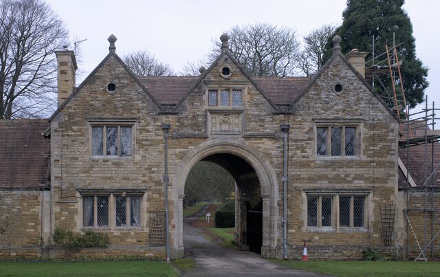
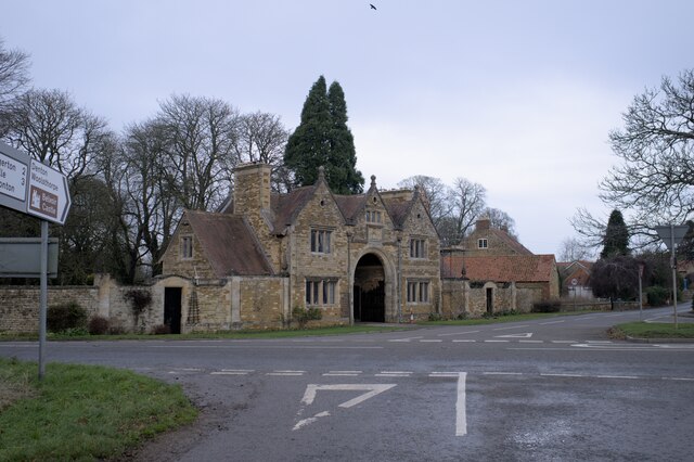
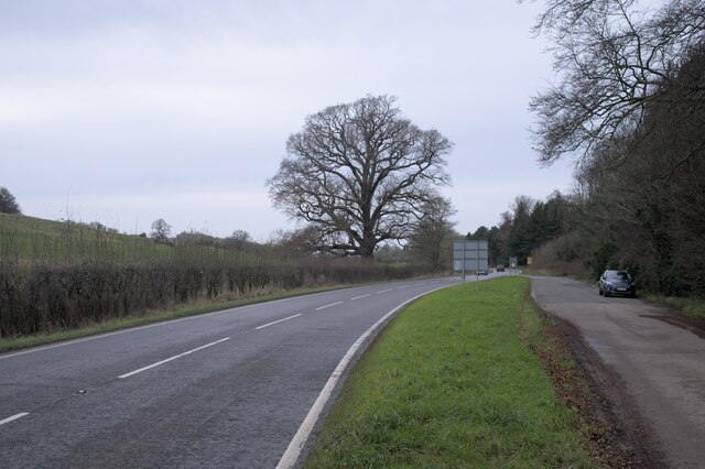
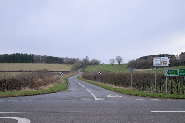
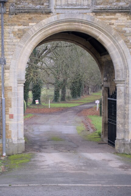
Belgium Plantation Images

Images are sourced within 2km of 52.892386/-0.72048317 or Grid Reference SK8633. Thanks to Geograph Open Source API. All images are credited.

The Gatehouse The gatehouse for Denton Manor.  These are a grade II listed building - see <span class="nowrap"><a title="https://historicengland.org.uk/listing/the-list/list-entry/1147559" rel="nofollow ugc noopener" href="https://historicengland.org.uk/listing/the-list/list-entry/1147559">Link</a><img style="margin-left:2px;" alt="External link" title="External link - shift click to open in new window" src="https://s1.geograph.org.uk/img/external.png" width="10" height="10"/></span>
The Gatehouse
The gatehouse for Denton Manor. These are a grade II listed building - see LinkExternal link
The gatehouse at the crossroads Under the arch is the road to Denton Manor.  A grade II listed building - see <span class="nowrap"><a title="https://historicengland.org.uk/listing/the-list/list-entry/1147559" rel="nofollow ugc noopener" href="https://historicengland.org.uk/listing/the-list/list-entry/1147559">Link</a><img style="margin-left:2px;" alt="External link" title="External link - shift click to open in new window" src="https://s1.geograph.org.uk/img/external.png" width="10" height="10"/></span>
The gatehouse at the crossroads
Under the arch is the road to Denton Manor. A grade II listed building - see LinkExternal link
The A607 road The A607 is an A road which runs for 54 miles between Leicester and Bracebridge Heath, a village on the outskirts of Lincoln. It crosses the A1 at Grantham. Beyond Grantham, the A607 forms the "villages" route between the A1 and Lincoln, not as direct as the High Dyke route (B6403) and not as fast as the Newark route (A1/A46), but is probably the most scenic of the three.
The A607 road
The A607 is an A road which runs for 54 miles between Leicester and Bracebridge Heath, a village on the outskirts of Lincoln. It crosses the A1 at Grantham. Beyond Grantham, the A607 forms the "villages" route between the A1 and Lincoln, not as direct as the High Dyke route (B6403) and not as fast as the Newark route (A1/A46), but is probably the most scenic of the three.
A Hill In the foreground is the A607, the Grantham to Melton road.  Joining it at the crossroads at Denton is country lane to Hungerton.
A Hill
In the foreground is the A607, the Grantham to Melton road. Joining it at the crossroads at Denton is country lane to Hungerton.
 Castanea sativa Sweet chestnut tree on the green triangle at Denton, on the crossroads on the A607.
Castanea sativa
Sweet chestnut tree on the green triangle at Denton, on the crossroads on the A607.
Spring in field There is a spring in this field, in a little fold in the rising ground.
Spring in field
There is a spring in this field, in a little fold in the rising ground.
The drive to the Manor Through the arch at <a href="https://www.geograph.org.uk/photo/7057862">SK8632 : The gatehouse at the crossroads</a>.
The drive to the Manor
Ashlar panel Described in the listing at <span class="nowrap"><a title="https://historicengland.org.uk/listing/the-list/list-entry/1147559" rel="nofollow ugc noopener" href="https://historicengland.org.uk/listing/the-list/list-entry/1147559">Link</a><img style="margin-left:2px;" alt="External link" title="External link - shift click to open in new window" src="https://s1.geograph.org.uk/img/external.png" width="10" height="10"/></span> as "an ashlar panel containing coat of arms and inscription "Per ignem per gladium"".  This is the motto of the Welby family  - the rather alarming "By Fire By Sword".
Ashlar panel
Described in the listing at LinkExternal link as "an ashlar panel containing coat of arms and inscription "Per ignem per gladium"". This is the motto of the Welby family - the rather alarming "By Fire By Sword".
Architectural detail Features of the gatehouse described in the listing at a grade II listed building - see <span class="nowrap"><a title="https://historicengland.org.uk/listing/the-list/list-entry/1147559" rel="nofollow ugc noopener" href="https://historicengland.org.uk/listing/the-list/list-entry/1147559">Link</a><img style="margin-left:2px;" alt="External link" title="External link - shift click to open in new window" src="https://s1.geograph.org.uk/img/external.png" width="10" height="10"/></span> . "All windows have stone ovolo moulded mullions, diamond leaded casements and cornices. In the 3 gables are small keyed oculi."
Architectural detail
Features of the gatehouse described in the listing at a grade II listed building - see LinkExternal link . "All windows have stone ovolo moulded mullions, diamond leaded casements and cornices. In the 3 gables are small keyed oculi."
One of the gates The gatehouse in <a href="https://www.geograph.org.uk/photo/7057860">SK8632 : The Gatehouse</a> has two of these, as described in the listing at a grade II listed building - see <span class="nowrap"><a title="https://historicengland.org.uk/listing/the-list/list-entry/1147559" rel="nofollow ugc noopener" href="https://historicengland.org.uk/listing/the-list/list-entry/1147559">Link</a><img style="margin-left:2px;" alt="External link" title="External link - shift click to open in new window" src="https://s1.geograph.org.uk/img/external.png" width="10" height="10"/></span> .
One of the gates
The gatehouse in SK8632 : The Gatehouse has two of these, as described in the listing at a grade II listed building - see LinkExternal link .
Knot motif At the centre of the gates seen in <a href="https://www.geograph.org.uk/photo/7057944">SK8632 : One of the gates</a> is this complex motif
Knot motif
At the centre of the gates seen in SK8632 : One of the gates is this complex motif
found art I liked the appearance of these tiles, removed during the work at <a href="https://www.geograph.org.uk/photo/7057860">SK8632 : The Gatehouse</a> which necessitates the scaffolding seen there.
found art
I liked the appearance of these tiles, removed during the work at SK8632 : The Gatehouse which necessitates the scaffolding seen there.
Tall tree A pine behind the gatehouse at Denton Manor
Tall tree
A pine behind the gatehouse at Denton Manor
The drive to the Manor
A tree-lined drive
A tree-lined drive
The Manor Wall The wall around Denton Manor
The Manor Wall
The wall around Denton Manor
Seedhead I was impressed by the skeletal beauty of this seedhead, whose function has long since passed.
Seedhead
I was impressed by the skeletal beauty of this seedhead, whose function has long since passed.
Signs on the A607 The A607 is an A road which runs for 54 miles between Leicester and Bracebridge Heath, a village on the outskirts of Lincoln. It crosses the A1 at Grantham. Beyond Grantham, the A607 forms the "villages" route between the A1 and Lincoln, not as direct as the High Dyke route (B6403) and not as fast as the Newark route (A1/A46), but is probably the most scenic of the three.
Signs on the A607
The A607 is an A road which runs for 54 miles between Leicester and Bracebridge Heath, a village on the outskirts of Lincoln. It crosses the A1 at Grantham. Beyond Grantham, the A607 forms the "villages" route between the A1 and Lincoln, not as direct as the High Dyke route (B6403) and not as fast as the Newark route (A1/A46), but is probably the most scenic of the three.
Show me another place!

Belgium Plantation is located at Grid Ref: SK8633 (Lat: 52.892386, Lng: -0.72048317)

Administrative County: Lincolnshire

District: South Kesteven

Police Authority: Lincolnshire

What 3 Words

///splints.cyber.strength. Near Barrowby, Lincolnshire

Nearby Locations

Belgium Plantation

Related Wikis

Denton, Lincolnshire

Denton is a village and civil parish in the South Kesteven district of Lincolnshire, England. The population of the civil parish was 273 at the 2011 census...

Casthorpe

Casthorpe is hamlet in the civil parish of Barrowby and the South Kesteven District of Lincolnshire, England. It is 23 miles (40 km) south-southwest from...

St Mary and St Peter's Church, Harlaxton

St Mary and St Peter's Church is a Grade I listed Church of England parish church dedicated to Saint Mary and Saint Peter in Harlaxton, Lincolnshire, England...

Harlaxton

Harlaxton is a village and civil parish in the South Kesteven district of Lincolnshire, England. It lies on the edge of the Vale of Belvoir and just off...

Woolsthorpe by Belvoir

Woolsthorpe by Belvoir, also known as Woolsthorpe is a village and civil parish in the South Kesteven district of Lincolnshire, England. The population...

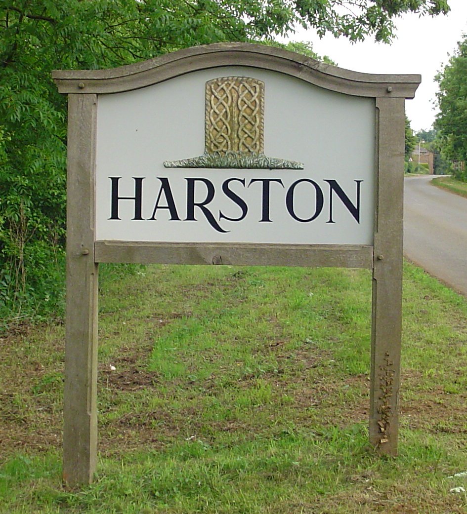
Harston, Leicestershire

Harston is a crossroads village and former civil parish, now in the parish of Belvoir, in the Melton district, in Leicestershire, England, near the border...

Barrowby

Barrowby is a village and civil parish in the South Kesteven district of Lincolnshire, England. It is 2 miles (3.2 km) west of Grantham. It overlooks the...

All Saints Church, Barrowby

All Saints Church is a Grade I listed Anglican church in Barrowby, Lincolnshire, England. The church is 2 miles (3.2 km) west from Grantham on a hillside...

Nearby Amenities

Located within 500m of 52.892386,-0.72048317
Barrier: cycle_barrier
Lat/Long: 52.8880018/-0.7217529
Burgin's Barn
Historic Place: farm
Source: Bing
Lat/Long: 52.8939679/-0.7230918
The data included in this document is from www.openstreetmap.org. The data is made available under ODbL.

Have you been to Belgium Plantation?

Leave your review of Belgium Plantation below (or comments, questions and feedback).