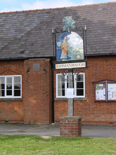
Ashmanhaugh

Settlement in Norfolk North Norfolk

England

Ashmanhaugh

St Mary's Parish Church, Tunstead St Mary's Parish Church, Tunstead, Norfolk : View from Church Street.

Source: <span class="nowrap"><a title="http://tunsteadpc.norfolkparishes.gov.uk/st-marys-church/" rel="nofollow ugc noopener" href="http://tunsteadpc.norfolkparishes.gov.uk/st-marys-church/">Link</a><img style="margin-left:2px;" alt="External link" title="External link - shift click to open in new window" src="https://s1.geograph.org.uk/img/external.png" width="10" height="10"/></span>
St Mary's Parish Church, Tunstead Credit: Terry Gray

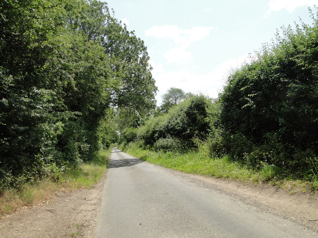
Ashmanhaugh is a small village located in the county of Norfolk, England. Situated on the banks of the River Bure, it is part of the Broadland district. The village lies approximately 12 miles north-east of Norwich, the county's capital.

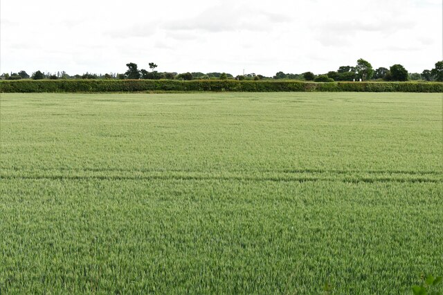
With a population of around 400 residents, Ashmanhaugh is known for its peaceful and rural atmosphere. The village is surrounded by beautiful countryside, including farmland, woodlands, and the nearby How Hill National Nature Reserve. This makes it an ideal location for those seeking a quiet and picturesque setting.

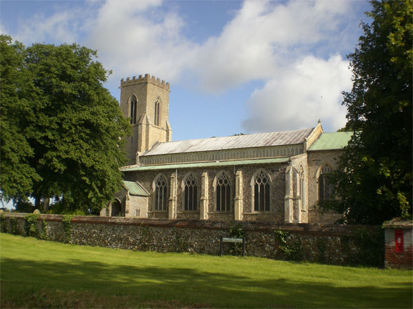
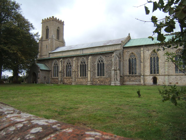
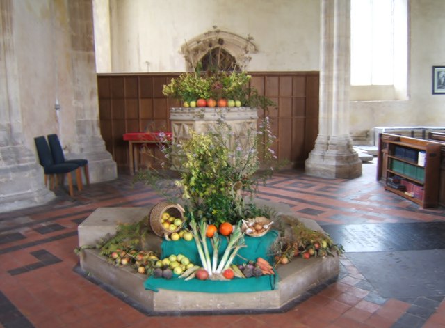
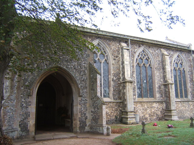
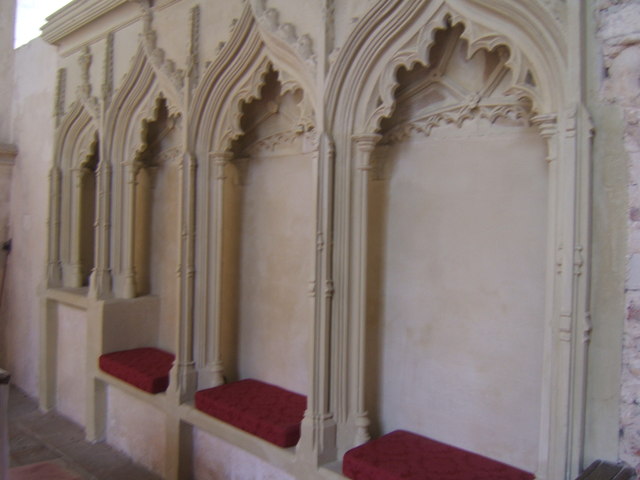
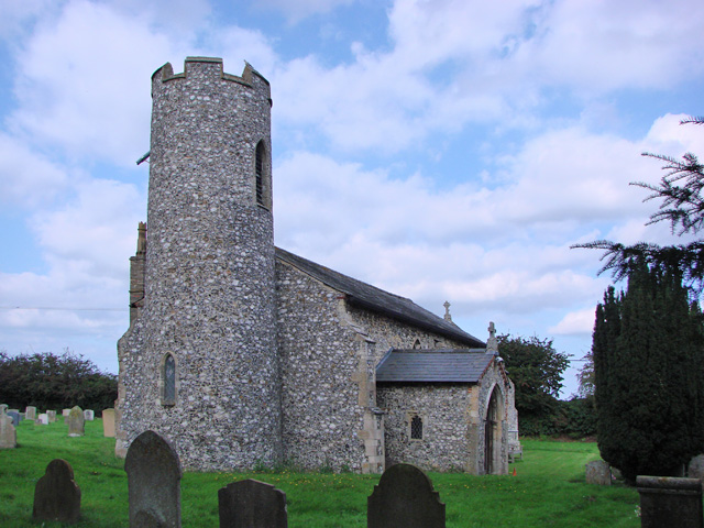
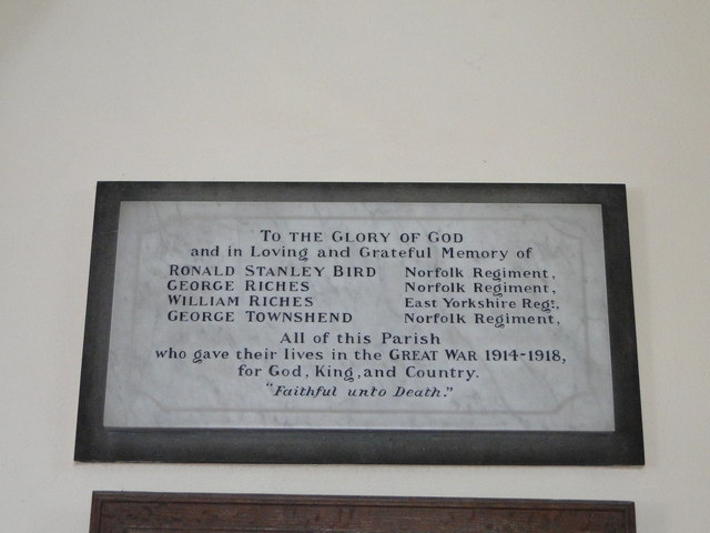
Ashmanhaugh is home to St. Swithin's Church, a historic place of worship that dates back to the 13th century. The church's architecture showcases a mix of styles from different periods, including Norman and Gothic elements. It serves as a center for religious and community activities.

The village also boasts a popular pub called The White Horse, which offers a warm and friendly atmosphere for locals and visitors alike. The pub serves traditional British cuisine and a selection of beverages, making it a gathering spot for socializing and enjoying a meal.

For outdoor enthusiasts, Ashmanhaugh offers ample opportunities for walking, cycling, and fishing. The village is located near the Norfolk Broads, a network of rivers and lakes renowned for boating and wildlife spotting. It is a haven for birdwatchers, with various species frequenting the area throughout the year.

Overall, Ashmanhaugh provides a charming escape from urban life, offering a tranquil and idyllic setting for its residents and visitors to enjoy the natural beauty of the Norfolk countryside.

If you have any feedback on the listing, please let us know in the comments section below.
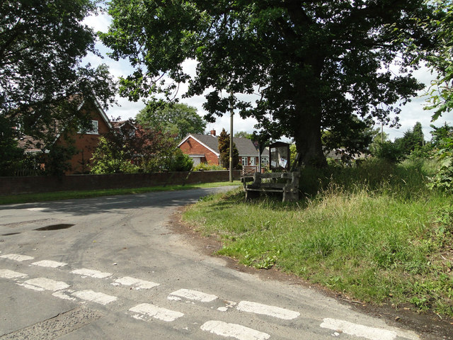
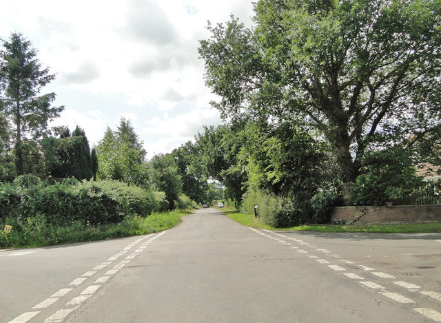
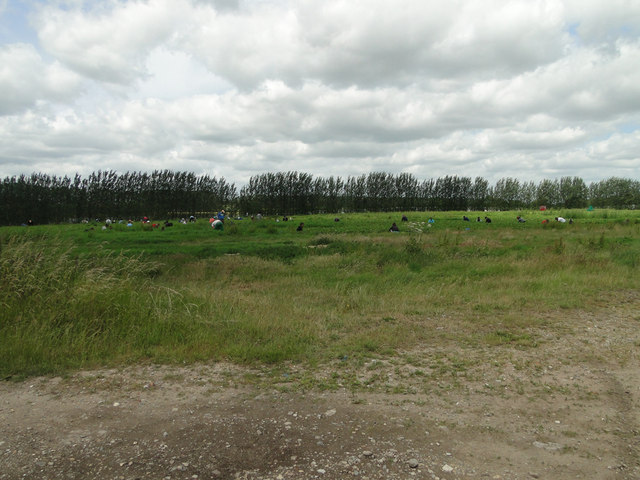
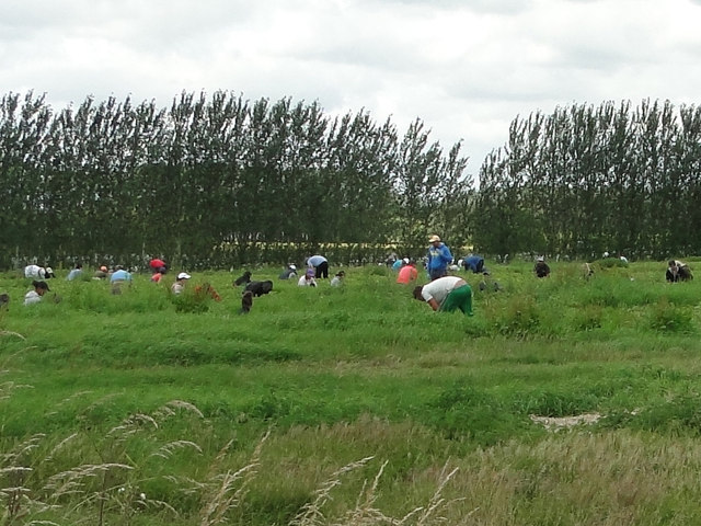
Ashmanhaugh Images

Images are sourced within 2km of 52.735561/1.421339 or Grid Reference TG3120. Thanks to Geograph Open Source API. All images are credited.

St Mary's Parish Church, Tunstead St Mary's Parish Church, Tunstead, Norfolk : View from Church Street.

Source: <span class="nowrap"><a title="http://tunsteadpc.norfolkparishes.gov.uk/st-marys-church/" rel="nofollow ugc noopener" href="http://tunsteadpc.norfolkparishes.gov.uk/st-marys-church/">Link</a><img style="margin-left:2px;" alt="External link" title="External link - shift click to open in new window" src="https://s1.geograph.org.uk/img/external.png" width="10" height="10"/></span>
St Mary's Parish Church, Tunstead
St Mary's Parish Church, Tunstead, Norfolk : View from Church Street. Source: LinkExternal link
Church of St Mary the Virgin, Tunstead
Victorian post-box The ivy is growing! - compare <a href="https://www.geograph.org.uk/photo/1060488">TG3022 : Victorian postbox</a>.
Victorian post-box
The ivy is growing! - compare TG3022 : Victorian postbox.
Harvest at St Mary's, Tunstead The font decorated with the abundance of the harvest-time.
Harvest at St Mary's, Tunstead
The font decorated with the abundance of the harvest-time.
Entrance to St Mary's, Tunstead Porch of St Mary's Church.
Entrance to St Mary's, Tunstead
Porch of St Mary's Church.
Triple sedilia and piscina, St Mary's Church To the south side of the altar in St Mary's Church, Tunstead.
Triple sedilia and piscina, St Mary's Church
To the south side of the altar in St Mary's Church, Tunstead.
Ashmanhaugh village sign Detail <a title="https://www.geograph.org.uk/photo/6678214" href="https://www.geograph.org.uk/photo/6678214">Link</a>
Ashmanhaugh village sign
Detail Link
Ashmanhaugh St. Swithin's church From the west showing the small diameter tower; only six feet internally.
Ashmanhaugh St. Swithin's church
From the west showing the small diameter tower; only six feet internally.
A seat and notice board under a tree
Stone Lane, Ashmanhaugh
The  old village school and Ashmanhaugh village sign The old school is now called Preston Room and is available for hire by the local community. <a title="https://www.geograph.org.uk/photo/6678214" href="https://www.geograph.org.uk/photo/6678214">Link</a>
The old village school and Ashmanhaugh village sign
The old school is now called Preston Room and is available for hire by the local community. Link
Strawberry picking at one of the county's largest fruit growers
Passing Places on a narrow country road .... near Shoulder of Mutton Plantation
Passing Places on a narrow country road
.... near Shoulder of Mutton Plantation
Tunstead War Memorial The Memorial which stands in the churchyard bears 16 names of men who failed to return to the village at the end of WW1. There are no recorded losses in WW2.
Tunstead War Memorial
The Memorial which stands in the churchyard bears 16 names of men who failed to return to the village at the end of WW1. There are no recorded losses in WW2.
Ashmanhaugh World War One Memorial As can be seen, the Memorial tablet bears four names.
There is no record of any WW2 losses.
Ashmanhaugh World War One Memorial
As can be seen, the Memorial tablet bears four names. There is no record of any WW2 losses.
Belaugh: Cereal crop
Belaugh Green level crossing The level crossing is seen from a Bure Valley Railway train. The former crossing keeper's cottage is now a private dwelling. This is now an open level crossing, with trains approaching it at very low speed.
Belaugh Green level crossing
The level crossing is seen from a Bure Valley Railway train. The former crossing keeper's cottage is now a private dwelling. This is now an open level crossing, with trains approaching it at very low speed.
Show me another place!

Ashmanhaugh is located at Grid Ref: TG3120 (Lat: 52.735561, Lng: 1.421339)

Administrative County: Norfolk

District: North Norfolk

Police Authority: Norfolk

What 3 Words

///ironic.squirted.titles. Near Hoveton, Norfolk

Related Wikis

Ashmanhaugh

Ashmanhaugh is a village and civil parish in the English county of Norfolk, situated some 20 km north east of Norwich. See Inside the churches of St Swithins...

Hoveton Hall

Hoveton Hall in the parish of Hoveton in Norfolk is a Regency-style country house made of gault brick with a slate roof. It was built between 1809 and...

Tunstead, Norfolk

Tunstead is a village and a civil parish in the English county of Norfolk. The village is 10.7 miles north north east of the city of Norwich, 15 miles...

Broadland High Ormiston Academy

Broadland High Ormiston Academy is a rural mixed academy in Hoveton, Norfolk for pupils aged 11 to 16. As of August 1, 2018, the school joined Ormiston...
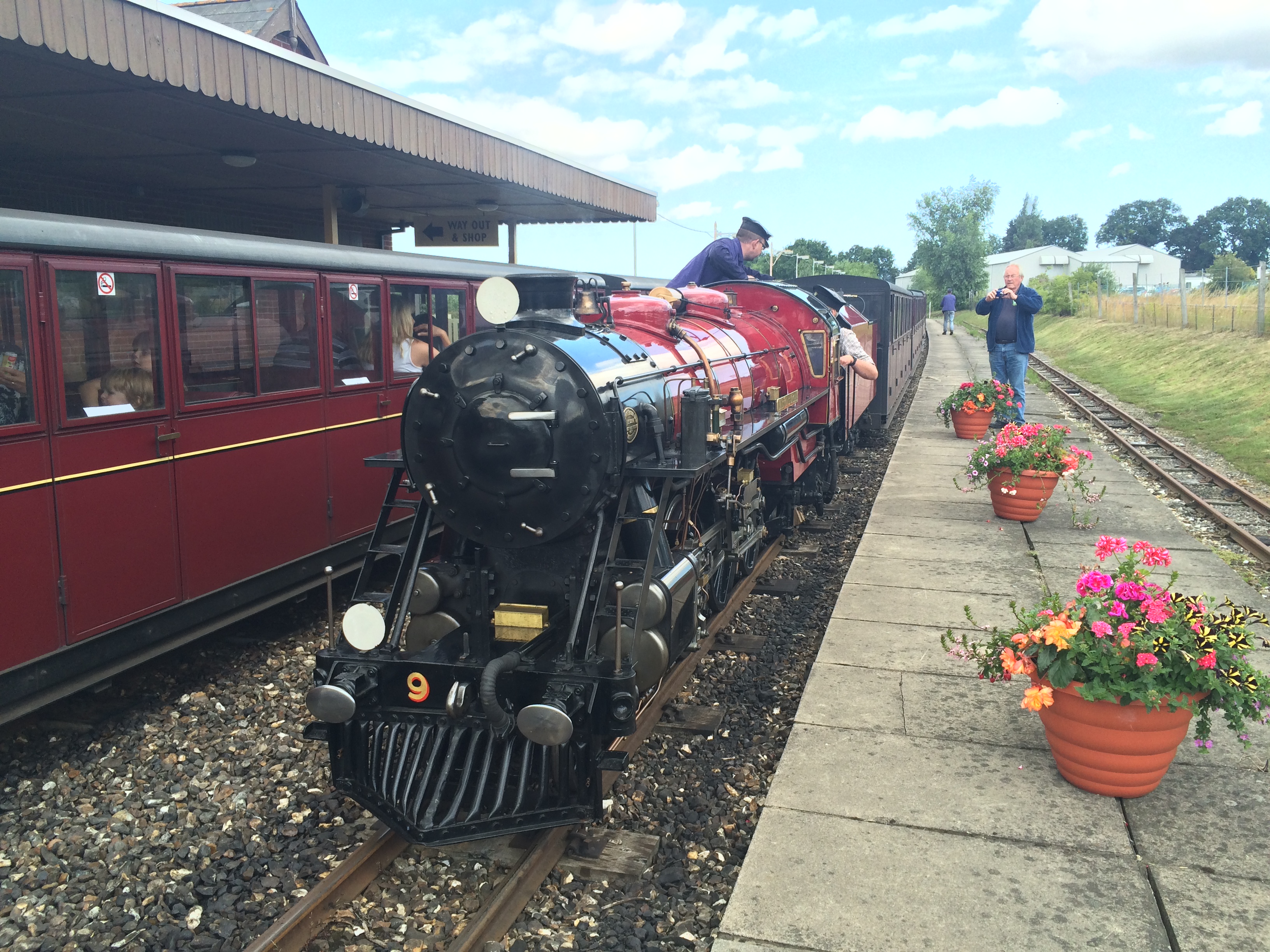
Bure Valley Railway

The Bure Valley Railway is a 15 in (381 mm) minimum gauge visitors' attraction in Norfolk, England. It was created on the original disused full-gauge bed...

Wroxham railway station

Wroxham railway station is located near the villages of Wroxham and Hoveton in Norfolk, and is the southern terminus of the Bure Valley Railway, a minimum...

Hoveton & Wroxham railway station

Hoveton & Wroxham railway station is on the Bittern Line in Norfolk, England, serving the village of Hoveton and the adjacent village of Wroxham (the two...

Hoveton

Hoveton is a village and civil parish in the English county of Norfolk. It is located within the Norfolk Broads, and immediately across the River Bure...

Nearby Amenities

Located within 500m of 52.735561,1.421339
Public Bookcase
Booth: K6
Disused Amenity: telephone
Man Made: telephone_box
Public Bookcase Type: phone_box
Lat/Long: 52.7354549/1.4262519
Post Box
Operator: Royal Mail
Post Box Type: lamp
Royal Cypher: EIIR
Royal Cypher Wikidata: Q33102113
Lat/Long: 52.7354523/1.4262173
Ashmanhaugh
Alt Name: Ashmanaugh
Place: village
Wikidata: Q349489
Wikipedia: en:Ashmanhaugh
Lat/Long: 52.7347019/1.4235548
Ashmanhaugh
Inscription: St. Swithin
Man Made: village_sign
Material: metal
Start Date: 2009-04
Lat/Long: 52.735573/1.426101
Give Way
Lat/Long: 52.7355178/1.426205
The data included in this document is from www.openstreetmap.org. The data is made available under ODbL.

Have you been to Ashmanhaugh?

Leave your review of Ashmanhaugh below (or comments, questions and feedback).