Ashmansworthy
Settlement in Devon Torridge
England
Ashmansworthy
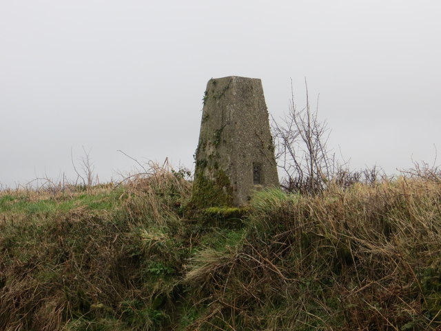
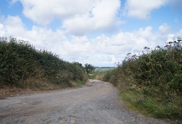
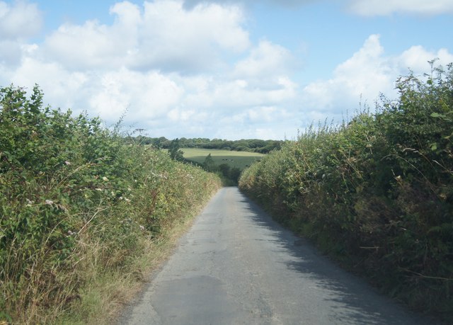
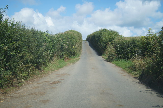
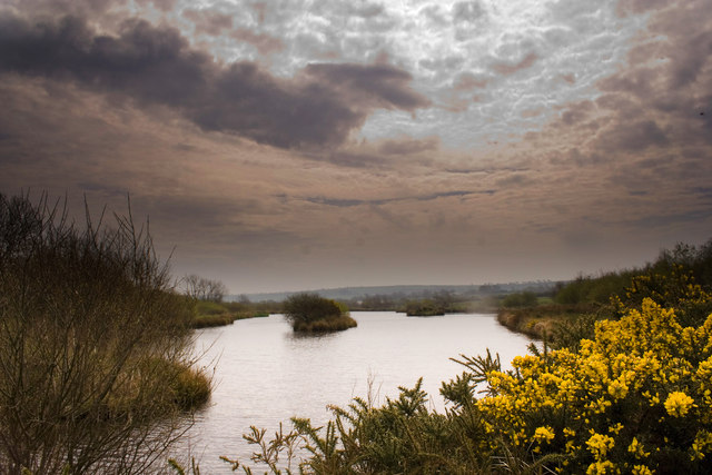
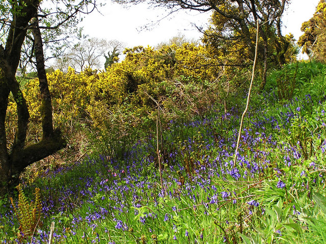
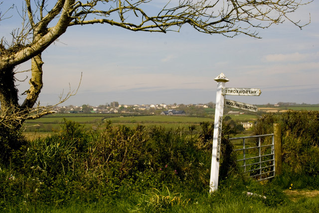
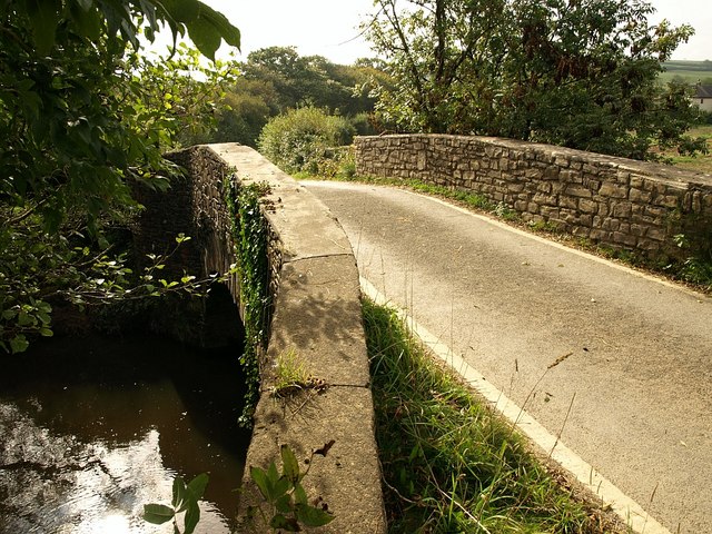
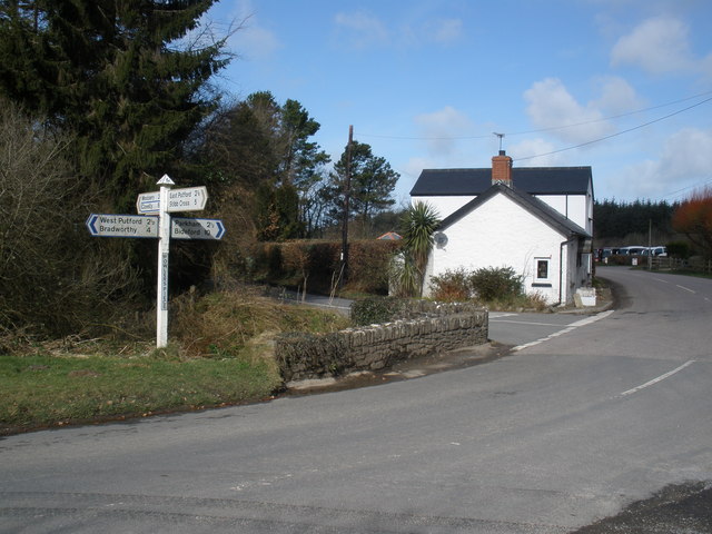
Ashmansworthy is a small rural village located in the county of Devon, England. Situated in the Torridge district, it is nestled in the heart of the picturesque North Devon countryside. The village is surrounded by rolling hills, lush green meadows, and dense woodlands, making it an idyllic retreat for nature enthusiasts and those seeking tranquility.
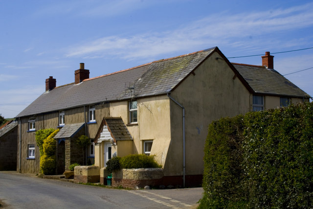
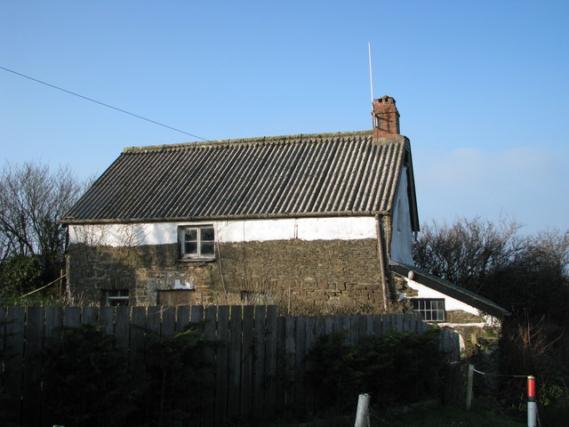
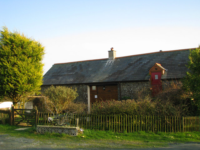
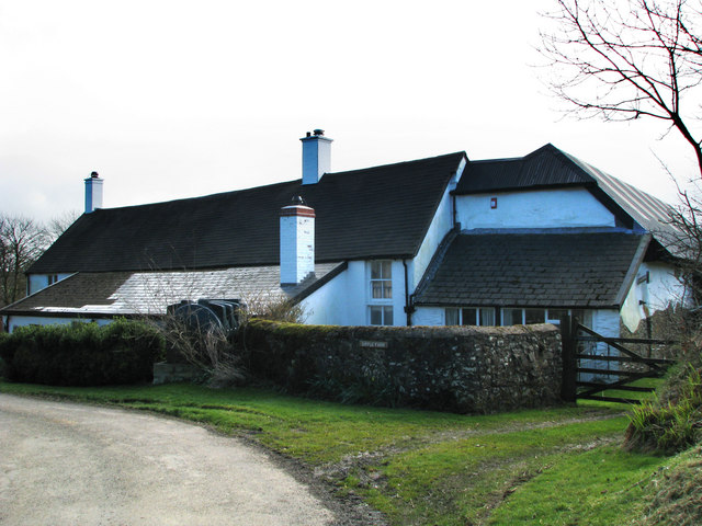
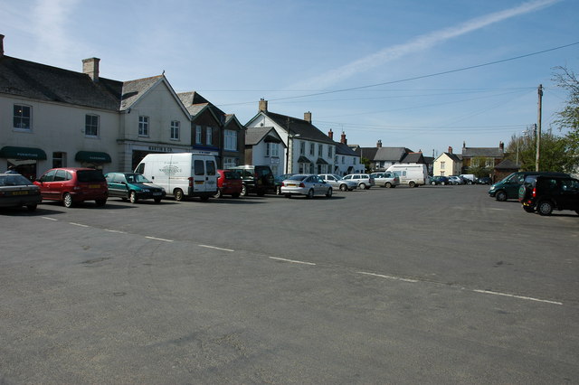
With a population of around 200 residents, Ashmansworthy exudes a close-knit community atmosphere. The village is characterized by its charming thatched-roof cottages and quaint stone houses, which add to its traditional English countryside appeal. The local architecture reflects the area's rich history and heritage.
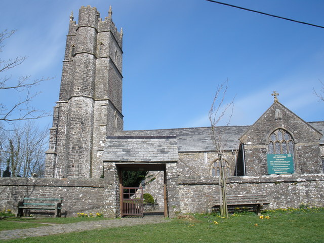
Despite its small size, Ashmansworthy boasts a range of amenities to cater to its residents' needs. These include a village hall, a community center, and a well-maintained playground. The village is also home to a historic church, St. Peter's, which dates back to the 13th century and provides a place of worship for the local community.
Surrounded by picturesque countryside, Ashmansworthy offers ample opportunities for outdoor activities, such as hiking, cycling, and horseback riding. The nearby Tarka Trail, a popular long-distance footpath, provides access to stunning scenery and wildlife. The village also benefits from its proximity to the North Devon coast, with stunning beaches just a short drive away.
In summary, Ashmansworthy is a charming and tranquil village in the heart of Devon's countryside, offering a close-knit community, stunning natural landscapes, and access to both outdoor activities and coastal delights.
If you have any feedback on the listing, please let us know in the comments section below.
Ashmansworthy Images
Images are sourced within 2km of 50.936088/-4.368232 or Grid Reference SS3317. Thanks to Geograph Open Source API. All images are credited.
Ashmansworthy is located at Grid Ref: SS3317 (Lat: 50.936088, Lng: -4.368232)
Administrative County: Devon
District: Torridge
Police Authority: Devon and Cornwall
What 3 Words
///rationing.identity.tickles. Near Holsworthy, Devon
Nearby Locations
Related Wikis
Ashmansworthy
Ashmansworthy is a village in Devon, England. Recorded in the Domesday Book, it was in the hundred of Hartland. == References == == External links... ==
Alminstone Cross
Alminstone Cross is a village in Devon, England. == References == Media related to Alminstone Cross at Wikimedia Commons
Gnome Reserve
The Gnome Reserve is a garden and tourist attraction in West Putford, near Bradworthy, Devon, England, presented as a pastoral refuge for garden gnomes...
Woolfardisworthy, Torridge
Woolfardisworthy is a village and civil parish in the Torridge district of Devon, England. The village is accessible via the A39 road, 2 miles (3 km) from...
East Putford
East Putford is a small settlement and civil parish in the local government district of Torridge, Devon, England. The parish, which lies about halfway...
Bradworthy
Bradworthy is a village and civil parish in Devon, England, situated 3 miles (4.8 km) north-east of the border with Cornwall. This location has led to...
West Putford
West Putford is a small settlement and civil parish in the local government district of Torridge, Devon, England. The parish, which lies about 8.5 miles...
Lynbarn Railway
The 1 ft 11+1⁄2 in (597 mm) narrow gauge Lynbarn Railway opened in 1995 as a park ride at the Milky Way Adventure Park, a family-based theme park attraction...
Nearby Amenities
Located within 500m of 50.936088,-4.368232Have you been to Ashmansworthy?
Leave your review of Ashmansworthy below (or comments, questions and feedback).

