Ashmanhaugh Plantation

Wood, Forest in Norfolk North Norfolk

England

Ashmanhaugh Plantation

Ashmanhaugh village sign Detail <a title="https://www.geograph.org.uk/photo/6678214" href="https://www.geograph.org.uk/photo/6678214">Link</a>
Ashmanhaugh village sign Credit: Adrian S Pye

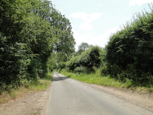
Ashmanhaugh Plantation is a picturesque woodland located in the county of Norfolk, in the eastern part of England. Covering an area of approximately 200 acres, this enchanting forest is a haven for nature lovers, offering a tranquil escape from the bustling city life.

The plantation is characterized by its diverse range of tree species, including oak, ash, birch, and beech, which create a dense canopy that shades the forest floor. This creates an ideal habitat for a variety of wildlife, making it a popular spot for birdwatching and nature enthusiasts.

Visitors to Ashmanhaugh Plantation can enjoy a network of well-maintained walking trails that wind through the woodland, providing stunning views of the surrounding countryside. The trails are suitable for all levels of fitness and offer the opportunity to explore the plantation's unique flora and fauna up close.

In addition to its natural beauty, Ashmanhaugh Plantation also has a rich history. Originally part of a larger estate, the woodland was used for timber production in the past, evident from the occasional remnants of old sawpits and charcoal platforms. Today, it is managed by a local conservation group that works to maintain the ecological balance of the plantation.

Whether it's a leisurely stroll, a family picnic, or a birdwatching adventure, Ashmanhaugh Plantation offers a peaceful retreat for those seeking a connection with nature. With its idyllic setting and abundance of biodiversity, it is a hidden gem in the Norfolk countryside.

If you have any feedback on the listing, please let us know in the comments section below.

Ashmanhaugh Plantation Images

Images are sourced within 2km of 52.73123/1.422909 or Grid Reference TG3120. Thanks to Geograph Open Source API. All images are credited.

Ashmanhaugh village sign Detail <a title="https://www.geograph.org.uk/photo/6678214" href="https://www.geograph.org.uk/photo/6678214">Link</a>
Ashmanhaugh village sign
Detail Link
Ashmanhaugh St. Swithin's church From the west showing the small diameter tower; only six feet internally.
Ashmanhaugh St. Swithin's church
From the west showing the small diameter tower; only six feet internally.
A seat and notice board under a tree
Stone Lane, Ashmanhaugh
The  old village school and Ashmanhaugh village sign The old school is now called Preston Room and is available for hire by the local community. <a title="https://www.geograph.org.uk/photo/6678214" href="https://www.geograph.org.uk/photo/6678214">Link</a>
The old village school and Ashmanhaugh village sign
The old school is now called Preston Room and is available for hire by the local community. Link
Passing Places on a narrow country road .... near Shoulder of Mutton Plantation
Passing Places on a narrow country road
.... near Shoulder of Mutton Plantation
Ashmanhaugh World War One Memorial As can be seen, the Memorial tablet bears four names.
There is no record of any WW2 losses.
Ashmanhaugh World War One Memorial
As can be seen, the Memorial tablet bears four names. There is no record of any WW2 losses.
Belaugh: Cereal crop
Belaugh Green level crossing The level crossing is seen from a Bure Valley Railway train. The former crossing keeper's cottage is now a private dwelling. This is now an open level crossing, with trains approaching it at very low speed.
Belaugh Green level crossing
The level crossing is seen from a Bure Valley Railway train. The former crossing keeper's cottage is now a private dwelling. This is now an open level crossing, with trains approaching it at very low speed.
Bure Valley Railway and Bure Valley Path Heading towards Aylsham and the railway and path leave a shallow cutting and almost immediately onto a low embankment, flanked by trees.
Bure Valley Railway and Bure Valley Path
Heading towards Aylsham and the railway and path leave a shallow cutting and almost immediately onto a low embankment, flanked by trees.
Bure Valley Railway and Bure Valley Path This is the beginning of a section running along an embankment.
Bure Valley Railway and Bure Valley Path
This is the beginning of a section running along an embankment.
Bure Valley Railway view The railway and path are on top of a low embankment at this point.
Bure Valley Railway view
The railway and path are on top of a low embankment at this point.
Bure Valley Railway and Bure Valley Path The trees partially hide the fact that the path and railway are on top of an embankment at this point.
Bure Valley Railway and Bure Valley Path
The trees partially hide the fact that the path and railway are on top of an embankment at this point.
Bure Valley Railway and Bure Valley Path The embankment is higher at this point, as the railway and path approach a bridge over a farm track and footpath, close to Belaugh Green Farm.
Bure Valley Railway and Bure Valley Path
The embankment is higher at this point, as the railway and path approach a bridge over a farm track and footpath, close to Belaugh Green Farm.
Bure Valley Railway and Bure Valley Path near Belaugh Green Farm This bridge carries the railway and path over a farm track and footpath. There are steps down to the footpath below from the far side of the bridge.
Bure Valley Railway and Bure Valley Path near Belaugh Green Farm
This bridge carries the railway and path over a farm track and footpath. There are steps down to the footpath below from the far side of the bridge.
Bure Valley Railway and Bure Valley Path near Belaugh Green Farm The fence offers some privacy to residents of properties adjacent to the railway.
Bure Valley Railway and Bure Valley Path near Belaugh Green Farm
The fence offers some privacy to residents of properties adjacent to the railway.
Footpath connection from the Bure Valley Path These steps connect the Bure Valley Path with the footpath that passes beneath the bridge, connecting Belaugh Green Farm with the Coltishall road.
Footpath connection from the Bure Valley Path
These steps connect the Bure Valley Path with the footpath that passes beneath the bridge, connecting Belaugh Green Farm with the Coltishall road.
Bure Valley Railway warning sign This sign warns drivers that they are approaching the level crossing at Belaugh Green.
Bure Valley Railway warning sign
This sign warns drivers that they are approaching the level crossing at Belaugh Green.
Show me another place!

Ashmanhaugh Plantation is located at Grid Ref: TG3120 (Lat: 52.73123, Lng: 1.422909)

Administrative County: Norfolk

District: North Norfolk

Police Authority: Norfolk

What 3 Words

///buying.serves.statue. Near Hoveton, Norfolk

Related Wikis

Hoveton Hall

Hoveton Hall in the parish of Hoveton in Norfolk is a Regency-style country house made of gault brick with a slate roof. It was built between 1809 and...
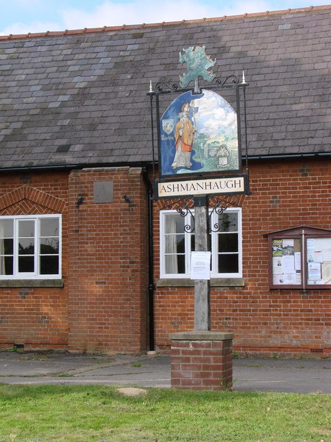
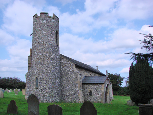
Ashmanhaugh

Ashmanhaugh is a village and civil parish in the English county of Norfolk, situated some 20 km north east of Norwich. See Inside the churches of St Swithins...

Broadland High Ormiston Academy

Broadland High Ormiston Academy is a rural mixed academy in Hoveton, Norfolk for pupils aged 11 to 16. As of August 1, 2018, the school joined Ormiston...
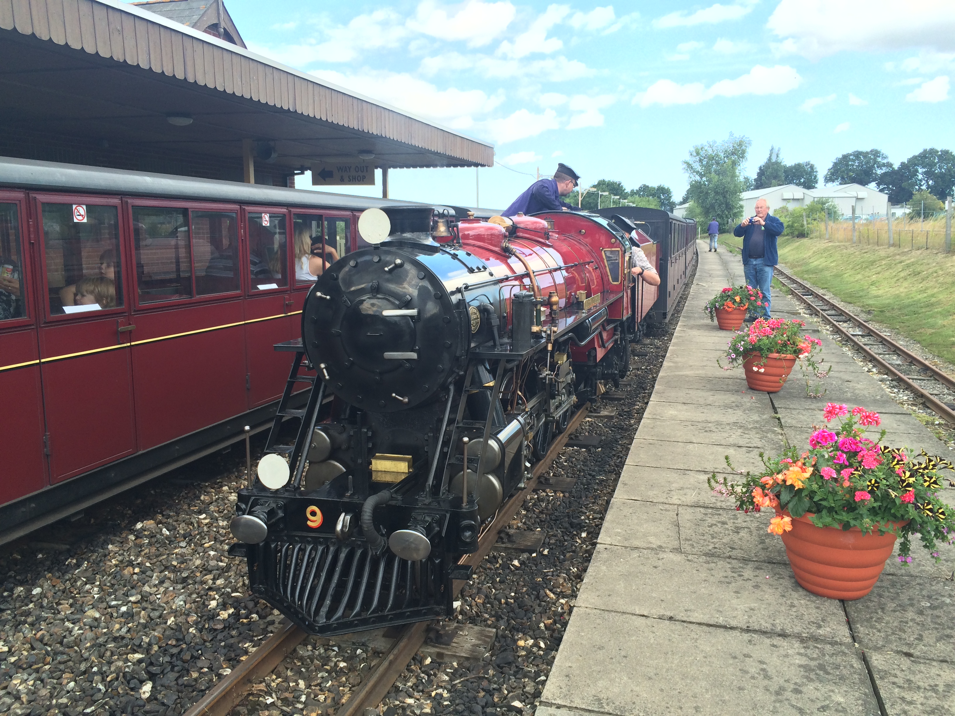
Bure Valley Railway

The Bure Valley Railway is a 15 in (381 mm) minimum gauge visitors' attraction in Norfolk, England. It was created on the original disused full-gauge bed...

Wroxham railway station

Wroxham railway station is located near the villages of Wroxham and Hoveton in Norfolk, and is the southern terminus of the Bure Valley Railway, a minimum...

Hoveton & Wroxham railway station

Hoveton & Wroxham railway station is on the Bittern Line in Norfolk, England, serving the village of Hoveton and the adjacent village of Wroxham (the two...

Hoveton

Hoveton is a village and civil parish in the English county of Norfolk. It is located within the Norfolk Broads, and immediately across the River Bure...

Roys of Wroxham

Roys of Wroxham is a family owned group of general stores based in Hoveton, Norfolk. The store after winning a competition in the early 1930s uses the...

Nearby Amenities

Located within 500m of 52.73123,1.422909
Ashmanhaugh
Alt Name: Ashmanaugh
Place: village
Wikidata: Q349489
Wikipedia: en:Ashmanhaugh
Lat/Long: 52.7347019/1.4235548
The data included in this document is from www.openstreetmap.org. The data is made available under ODbL.

Have you been to Ashmanhaugh Plantation?

Leave your review of Ashmanhaugh Plantation below (or comments, questions and feedback).