Amber Wood
Wood, Forest in Lincolnshire West Lindsey
England
Amber Wood

Amber Wood is a picturesque forest located in Lincolnshire, England. Covering an area of approximately 500 acres, this woodland is known for its stunning natural beauty and diverse range of flora and fauna.
The forest is primarily composed of deciduous trees such as oak, birch, and beech, which create a vibrant and colorful landscape throughout the year. Walking trails meander through the woods, providing visitors with an opportunity to explore the various habitats and immerse themselves in nature. The forest floor is carpeted with wildflowers, ferns, and mosses, adding to the enchanting atmosphere.
Amber Wood is home to a wide array of wildlife, making it a popular destination for nature enthusiasts and bird watchers. Bird species such as woodpeckers, owls, and various songbirds can be observed here, along with mammals like deer, foxes, and squirrels. The forest also supports a diverse range of insects and small reptiles.
Visitors to Amber Wood have the opportunity to engage in various recreational activities. Picnic areas and designated camping spots are available for those who wish to spend a day or night in the forest. Additionally, there are several well-maintained footpaths for hiking and cycling, allowing visitors to fully appreciate the natural beauty of the area.
Amber Wood, Lincolnshire, is a haven for nature lovers and provides a tranquil escape from the hustle and bustle of everyday life. With its stunning landscapes, diverse wildlife, and recreational opportunities, it is a must-visit destination for anyone seeking to connect with the natural world.
If you have any feedback on the listing, please let us know in the comments section below.
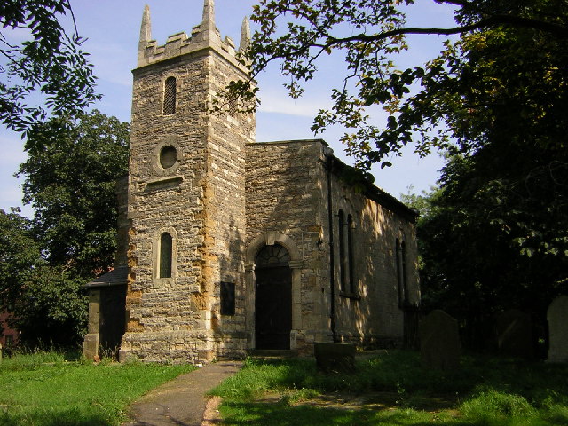
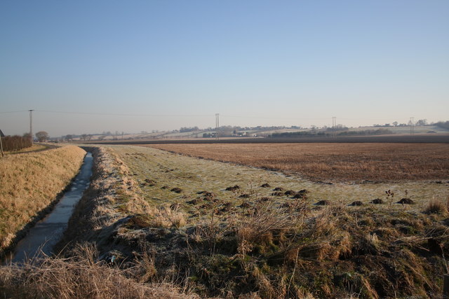
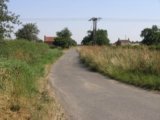
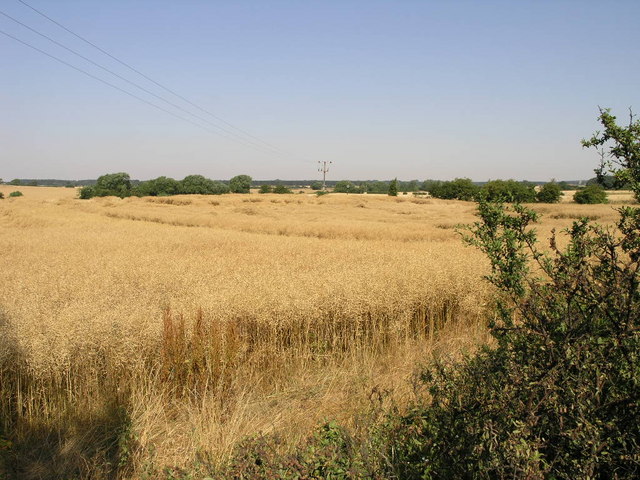
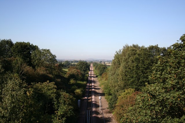
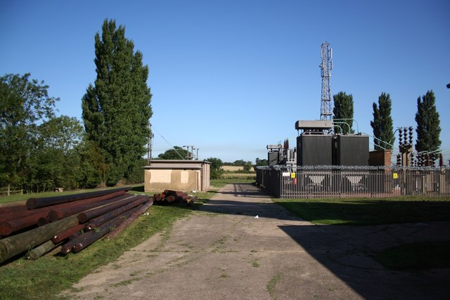
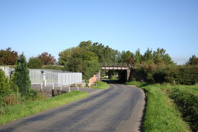
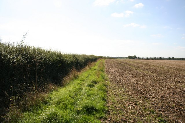
Amber Wood Images
Images are sourced within 2km of 53.435135/-0.71089338 or Grid Reference SK8593. Thanks to Geograph Open Source API. All images are credited.


Amber Wood is located at Grid Ref: SK8593 (Lat: 53.435135, Lng: -0.71089338)
Administrative County: Lincolnshire
District: West Lindsey
Police Authority: Lincolnshire
What 3 Words
///restores.chins.jubilant. Near Blyton, Lincolnshire
Nearby Locations
Related Wikis

Pilham
Pilham is a village and civil parish in the West Lindsey district of Lincolnshire, England. The population of the civil parish at the 2001 census was 76...
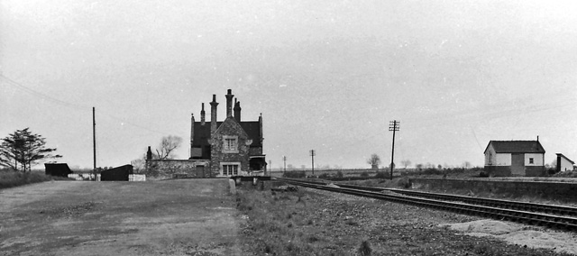
Blyton railway station
Blyton railway station is a former railway station in Blyton, Lincolnshire. It was on the (still open) line between Gainsborough and Grimsby. == References ==

Blyton
Blyton is a village and civil parish within the West Lindsey district of Lincolnshire, England. It is situated approximately 4 miles (6 km) north-east...

Aisby, West Lindsey
Aisby is a hamlet in the civil parish of Corringham, in the West Lindsey district of Lincolnshire, England. It is situated just over 1 mile (1.6 km) north...

RAF Blyton
Royal Air Force Blyton or more simply RAF Blyton is a former Royal Air Force satellite station located in Lincolnshire, 4.8 miles (7.7 km) north east of...

Corringham, Lincolnshire
Corringham is a civil parish in the West Lindsey district of Lincolnshire, England. It is situated 5 km (3 mi) east of Gainsborough and 16 km (10 mi) south...

Laughton, West Lindsey
Laughton is a village and a civil parish in the West Lindsey district of Lincolnshire, England. The population of the civil parish at the 2011 census was...

Thonock
Thonock is a small settlement in the West Lindsey district of Lincolnshire, England. It is situated approximately 2 miles (3 km) north from the town of...
Nearby Amenities
Located within 500m of 53.435135,-0.71089338Have you been to Amber Wood?
Leave your review of Amber Wood below (or comments, questions and feedback).