Black Beeches
Wood, Forest in Sussex Chichester
England
Black Beeches
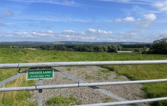
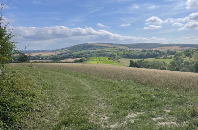
Black Beeches is a picturesque woodland located in Sussex, England. It is known for its dense canopy of beech trees, which give the woodland its name. Covering an area of approximately 100 acres, Black Beeches is a natural haven of tranquility and beauty.
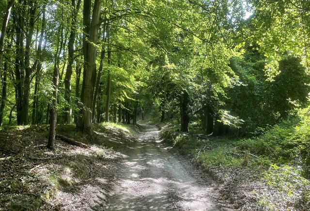
The woodland is characterized by its towering beech trees that create a dense and shadowy canopy, providing a cool and refreshing atmosphere even on the hottest summer days. The trees' dark bark and vibrant green leaves create a striking contrast against the backdrop of dappled sunlight that filters through the branches.
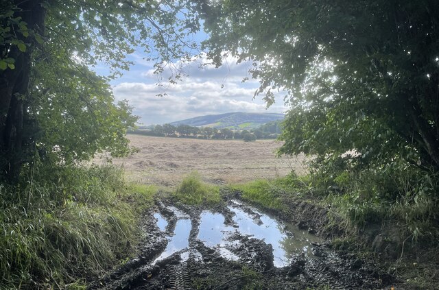
Black Beeches is home to a diverse range of flora and fauna. The forest floor is carpeted with a variety of wildflowers, including bluebells, primroses, and wood anemones, which bloom in the spring, creating a vibrant display of colors. The woodland is also rich in wildlife, with numerous bird species, such as woodpeckers and thrushes, calling it home. Squirrels can often be seen darting between the trees, and if you're lucky, you might catch a glimpse of a timid deer or fox.
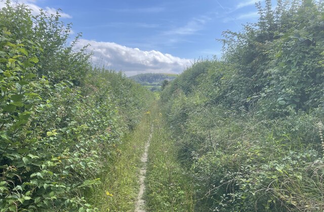
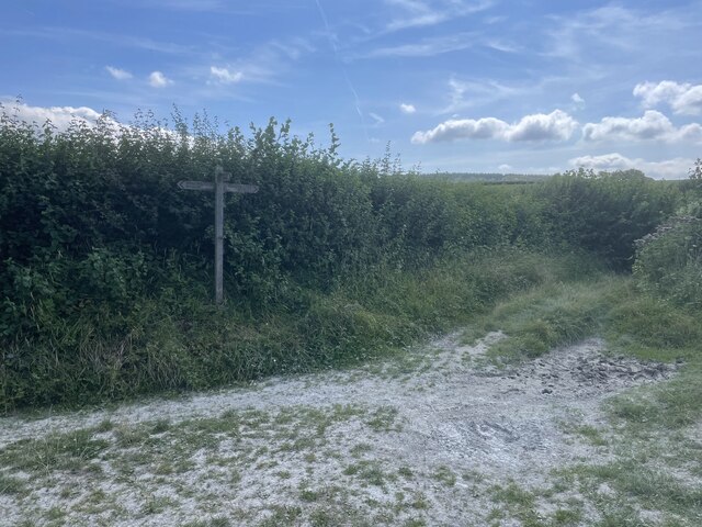
The woodland offers a network of well-maintained footpaths and trails, allowing visitors to explore its beauty at their own pace. It is a popular destination for nature enthusiasts, hikers, and photographers, who are drawn to its serene and photogenic surroundings.
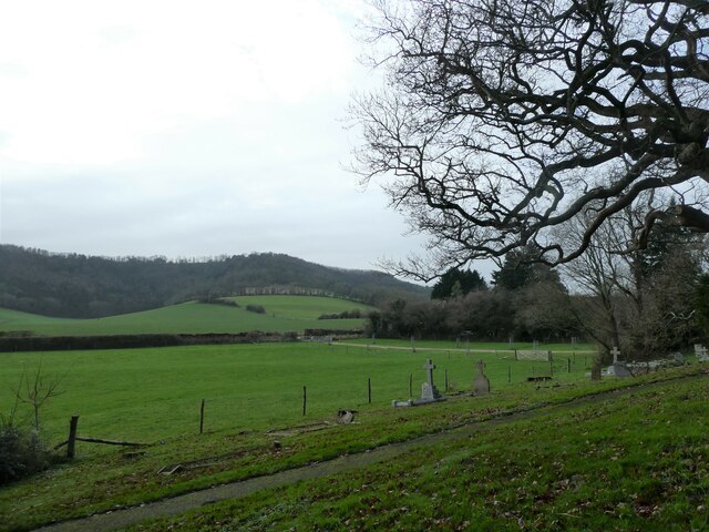
Overall, Black Beeches is a captivating woodland that showcases the beauty of nature in Sussex. Its ancient beech trees, colorful wildflowers, and abundant wildlife make it a must-visit destination for anyone seeking a peaceful retreat in the heart of the English countryside.
If you have any feedback on the listing, please let us know in the comments section below.
Black Beeches Images
Images are sourced within 2km of 50.942215/-0.78103603 or Grid Reference SU8516. Thanks to Geograph Open Source API. All images are credited.


Black Beeches is located at Grid Ref: SU8516 (Lat: 50.942215, Lng: -0.78103603)
Administrative County: West Sussex
District: Chichester
Police Authority: Sussex
What 3 Words
///workloads.fashion.ballooned. Near Midhurst, West Sussex
Nearby Locations
Related Wikis

West Dean Woods
West Dean Woods is a 16.3-hectare (40-acre) biological Site of Special Scientific Interest north of West Dean in West Sussex. It is managed by the Sussex...
Bepton
Bepton is a village, Anglican parish and civil parish in the Chichester district of West Sussex, England. According to the 2001 census it had 104 households...
Treyford to Bepton Down
Treyford to Bepton Down is a 121.5-hectare (300-acre) biological Site of Special Scientific Interest south-west of Midhurst in West Sussex.This site consists...

Singleton and Cocking Tunnels
Singleton and Cocking Tunnels is a 1.9-hectare (4.7-acre) biological Site of Special Scientific Interest between Chichester and Midhurst in West Sussex...
Cocking railway station
Cocking Railway Station served the village of Cocking in West Sussex, England. It was on the former London Brighton and South Coast Railway line between...
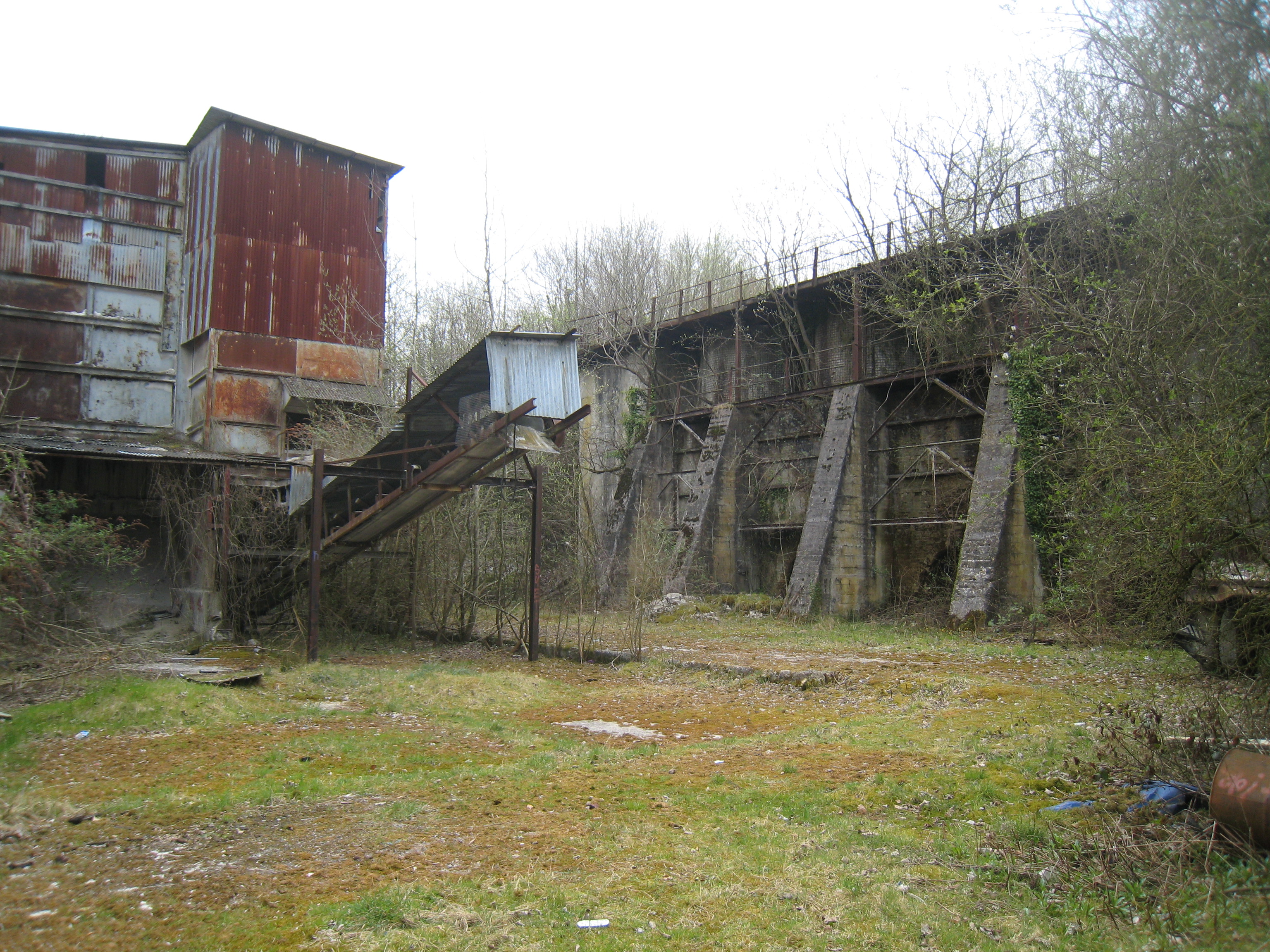
Cocking Lime Works
Cocking Lime Works and its associated chalk quarry are abandoned industrial sites in the South Downs of England. They are to the south of the village of...
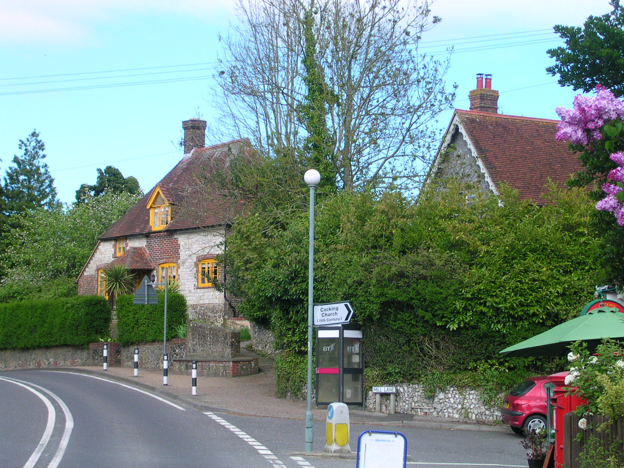
Cocking, West Sussex
Cocking is a village, parish and civil parish in the Chichester district of West Sussex, England. The village is about three miles (5 km) south of Midhurst...
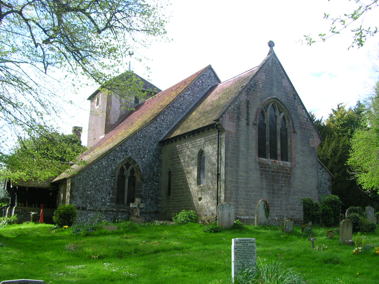
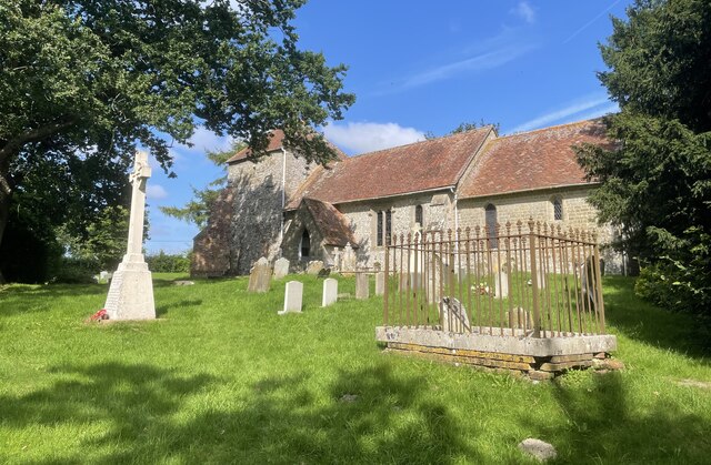
St Catherine of Siena Church, Cocking
St Catherine of Siena Church is an Anglican parish church in Cocking, a village in the district of Chichester, one of seven local government districts...
Nearby Amenities
Located within 500m of 50.942215,-0.78103603Have you been to Black Beeches?
Leave your review of Black Beeches below (or comments, questions and feedback).