Warnbeck Plantation

Wood, Forest in Yorkshire Scarborough

England

Warnbeck Plantation

The A169 We are over the bridge that vrosses the river and, to the south, the railway line.
The A169 Credit: Malcolm Neal

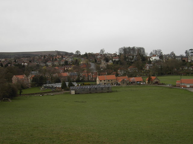
Warnbeck Plantation is a picturesque woodland located in the region of Yorkshire, England. Situated in the heart of the countryside, it covers a vast area of approximately 500 acres, providing a serene and tranquil environment for visitors to enjoy.

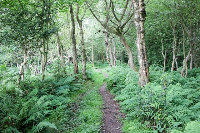
The plantation is primarily composed of native broadleaf trees, including oak, beech, and birch, which create a diverse and vibrant ecosystem. These trees, along with the dense undergrowth of ferns and wildflowers, offer a habitat for a wide range of wildlife species, such as deer, foxes, and various bird species.

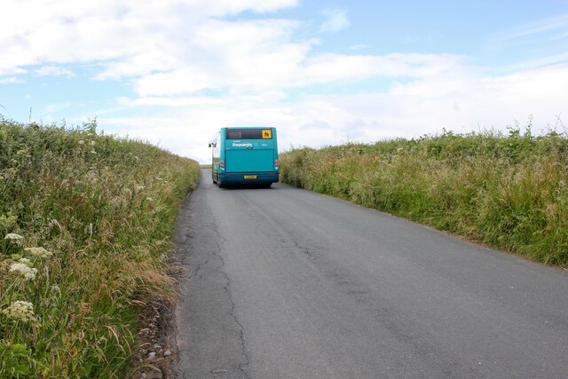
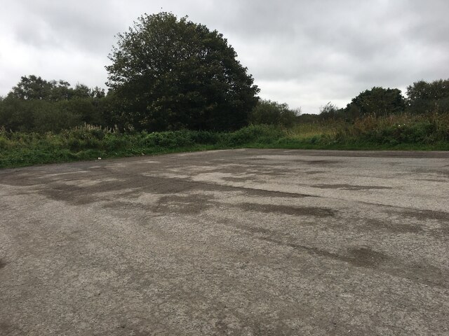
The well-maintained network of walking trails allows visitors to explore the plantation at their own pace and immerse themselves in the natural beauty of the surroundings. The trails offer stunning views of the rolling hills and valleys that characterize the Yorkshire landscape, making it a popular destination for nature enthusiasts and hikers.

Warnbeck Plantation also boasts a small, charming picnic area, complete with benches and tables, offering a perfect spot for visitors to relax and enjoy a packed lunch amidst the tranquility of the woodland. The plantation is open to the public year-round and is particularly enchanting during the autumn months when the trees transform into a kaleidoscope of vibrant colors.

Additionally, the plantation serves as an important site for conservation efforts, with dedicated areas set aside for the protection and preservation of rare and endangered plant species. These conservation efforts contribute to the overall biodiversity of the plantation and ensure its ecological significance.

Overall, Warnbeck Plantation is a captivating woodland destination that offers visitors a chance to connect with nature and appreciate the natural wonders of Yorkshire's countryside.

If you have any feedback on the listing, please let us know in the comments section below.

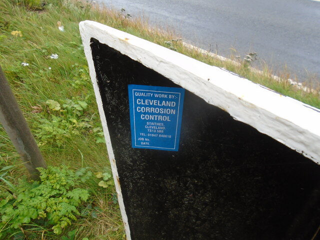
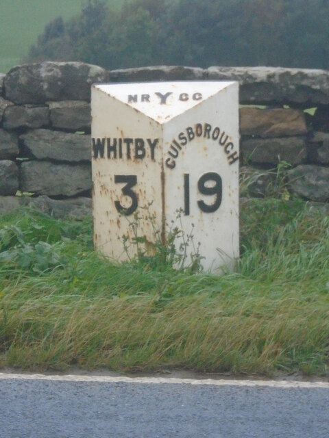
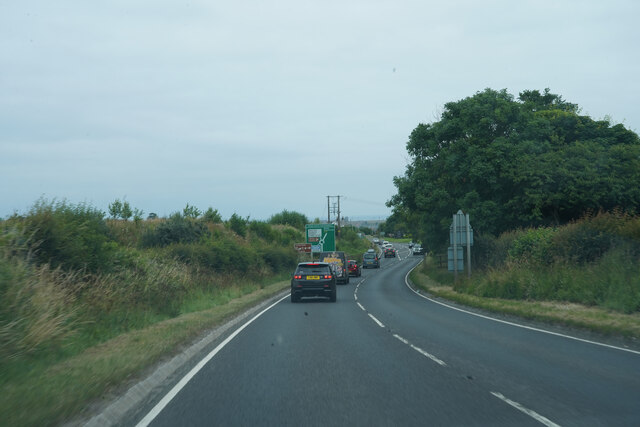
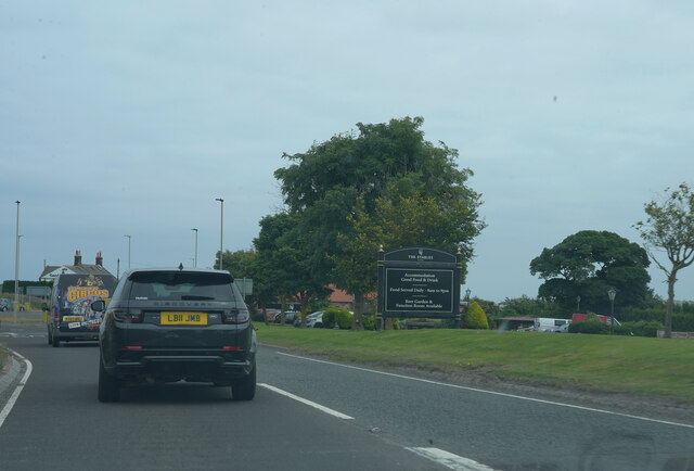
Warnbeck Plantation Images

Images are sourced within 2km of 54.475535/-0.67841358 or Grid Reference NZ8509. Thanks to Geograph Open Source API. All images are credited.

The A169 We are over the bridge that vrosses the river and, to the south, the railway line.
The A169
We are over the bridge that vrosses the river and, to the south, the railway line.
The A169 The road the A169 is somewhat variable in the density of traffic, sometimes quite empty at others quite crowded.
The A169
The road the A169 is somewhat variable in the density of traffic, sometimes quite empty at others quite crowded.
An empty A169 The heat of the previous week has dried out the grass verges, which are looking quite pale.
An empty A169
The heat of the previous week has dried out the grass verges, which are looking quite pale.
Lane towards Guisborough Road Heading south towards Guisborough Road near Whitby.
Lane towards Guisborough Road
Heading south towards Guisborough Road near Whitby.
Approaching Skelder Plantation Heading towards Skelder Plantation from the north.
Approaching Skelder Plantation
Heading towards Skelder Plantation from the north.
Parking area beside the A171
Old milestone This milepost on the A171 is just west of a parking area on the other side of the road.   The previous picture, <a href="https://www.geograph.org.uk/photo/6738859">NZ8408 : Old Milestone, on the A171, near Bends sign</a>, was not taken by me but by another Milestone Society member in 2002 before the mileposts on this road were professionally repainted.  This is one of the original castings by F Mattison and Co. Bedale for the North Riding CC in the late 19C/early 20c.   The foundry name is cast inside the right-hand side.
Old milestone
This milepost on the A171 is just west of a parking area on the other side of the road. The previous picture, NZ8408 : Old Milestone, on the A171, near Bends sign, was not taken by me but by another Milestone Society member in 2002 before the mileposts on this road were professionally repainted. This is one of the original castings by F Mattison and Co. Bedale for the North Riding CC in the late 19C/early 20c. The foundry name is cast inside the right-hand side.
Old milepost Inside the back of this milepost are the details of the company who refurbished all the remaining NRYCC mileposts on this route along the A171.
Old milepost
Inside the back of this milepost are the details of the company who refurbished all the remaining NRYCC mileposts on this route along the A171.
Old milepost The previous submission, 6049673, was not taken by me but by a fellow Milestone Society member in 2002 before the mileposts on this route were refurbished by Cleveland Corrosion Control.  This one in front of a low stone wall is on Guisborough Road opposite a track to a farm.
Old milepost
The previous submission, 6049673, was not taken by me but by a fellow Milestone Society member in 2002 before the mileposts on this route were refurbished by Cleveland Corrosion Control. This one in front of a low stone wall is on Guisborough Road opposite a track to a farm.
Old milepost Travelling towards Whitby the position of this milepost can be seen in the context of the road, verge and pleasant stone wall.    When these posts were refurbished they were taken up, dealt with inside the workshop and then reset at the correct height.
Old milepost
Travelling towards Whitby the position of this milepost can be seen in the context of the road, verge and pleasant stone wall. When these posts were refurbished they were taken up, dealt with inside the workshop and then reset at the correct height.
The A171 Now on the A171 as we get close to Whitby.
The A171
Now on the A171 as we get close to Whitby.
The A171 The large sign is for an eating establishment alongside the A171.
The A171
The large sign is for an eating establishment alongside the A171.
Whitby Park and Ride Off the A171.
Whitby Park and Ride
Off the A171.
Bridleway off Barker's Lane Footpath and Bridleway to Bannial Flat Farm from Barker's Lane.
Bridleway off Barker's Lane
Footpath and Bridleway to Bannial Flat Farm from Barker's Lane.
Country Watch Sign on Barker's Lane Country Watch Sign warning against poaching on Barker's Lane near Newholm west of Whitby.
Country Watch Sign on Barker's Lane
Country Watch Sign warning against poaching on Barker's Lane near Newholm west of Whitby.
Footpath to Newholm Heading west across the fields from Barker's Lane towards Newholm.
Footpath to Newholm
Heading west across the fields from Barker's Lane towards Newholm.
The Beehive Inne, Newholm The Beehive Inne at Newholm is a 15th century drovers cottage. For more info see the pubs wesite at <span class="nowrap"><a title="https://www.beehiveinne.com/" rel="nofollow ugc noopener" href="https://www.beehiveinne.com/">Link</a><img style="margin-left:2px;" alt="External link" title="External link - shift click to open in new window" src="https://s1.geograph.org.uk/img/external.png" width="10" height="10"/></span>
The Beehive Inne, Newholm
The Beehive Inne at Newholm is a 15th century drovers cottage. For more info see the pubs wesite at LinkExternal link
Show me another place!

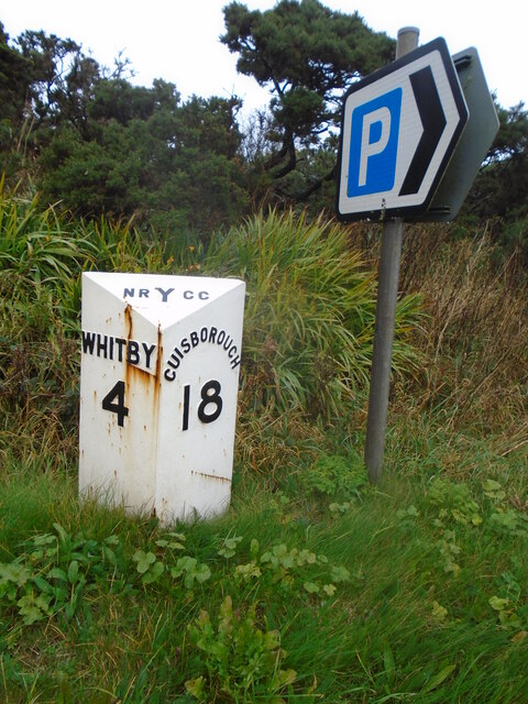
Warnbeck Plantation is located at Grid Ref: NZ8509 (Lat: 54.475535, Lng: -0.67841358)

Division: North Riding

Administrative County: North Yorkshire

District: Scarborough

Police Authority: North Yorkshire

What 3 Words

///snuggled.gazes.lately. Near Sleights, North Yorkshire

Related Wikis

Newholm-cum-Dunsley

Newholm-cum-Dunsley is a civil parish in the Scarborough district of North Yorkshire, England. According to the 2011 UK census, Newholm-cum-Dunsley parish...

Aislaby Quarry

Aislaby Quarry is a sandstone quarry in the village of Aislaby, near to Whitby in North Yorkshire, England. The quarry produces sandstone which has been...

Aislaby, Scarborough

Aislaby ( AYZ-əl-bi) is a village and civil parish in the Scarborough district of North Yorkshire, England. It is situated near the town of Whitby on the...

Briggswath

Briggswath is a village in the Scarborough district of North Yorkshire, England. the settlement is on the north bank of the River Esk, upstream of Ruswarp...

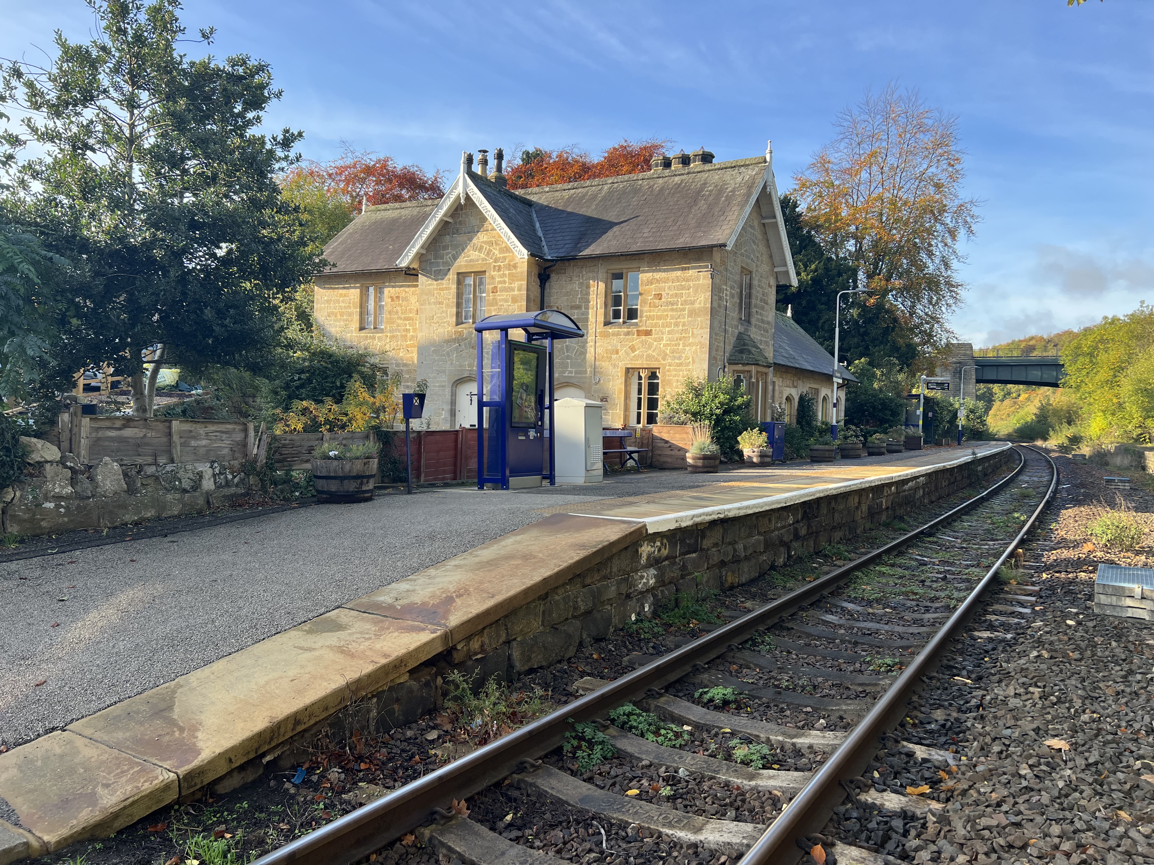
Sleights railway station

Sleights is a railway station on the Esk Valley Line, which runs between Middlesbrough and Whitby via Nunthorpe. The station, situated 2 miles 78 chains...

Hutton Mulgrave

Hutton Mulgrave is a village and civil parish in the Scarborough district of North Yorkshire, England. According to the 2001 UK census, Hutton Mulgrave...

Sandsend

Sandsend is a small fishing village, near to Whitby in the Scarborough district of North Yorkshire, England. It forms part of the civil parish of Lythe...

Sleights

Sleights is a village in North Yorkshire, England. Located in the Esk Valley in the postal region of Whitby, the village is part of the civil parish of...

Nearby Amenities

Located within 500m of 54.475535,-0.67841358
Power: pole
Source: Bing
Lat/Long: 54.473547/-0.6716482
Power: pole
Source: Bing
Lat/Long: 54.4743094/-0.6712519
Power: pole
Source: Bing
Lat/Long: 54.4747471/-0.6715881
Power: pole
Source: Bing
Lat/Long: 54.4753575/-0.6724343
Power: pole
Source: Bing
Lat/Long: 54.4761226/-0.6731219
Power: pole
Source: Bing
Lat/Long: 54.4768964/-0.6738173
Power: pole
Source: Bing
Lat/Long: 54.477711/-0.6745496
Power: pole
Source: Bing
Lat/Long: 54.4779483/-0.6763931
Power: pole
Source: Bing
Lat/Long: 54.4780843/-0.6733107
Power: pole
Source: Bing
Lat/Long: 54.4781516/-0.6779725
Power: pole
Source: Bing
Lat/Long: 54.4783394/-0.6794314
Power: pole
Source: Bing
Lat/Long: 54.4785252/-0.6808746
Power: pole
Source: Bing
Lat/Long: 54.4786873/-0.6821342
Power: pole
Source: Bing
Lat/Long: 54.4788406/-0.6833248
The data included in this document is from www.openstreetmap.org. The data is made available under ODbL.

Have you been to Warnbeck Plantation?

Leave your review of Warnbeck Plantation below (or comments, questions and feedback).