Lawrence Copse

Wood, Forest in Sussex Chichester

England

Lawrence Copse

Wooded downland at Kingley Vale
Wooded downland at Kingley Vale Credit: David Martin

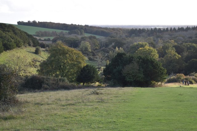
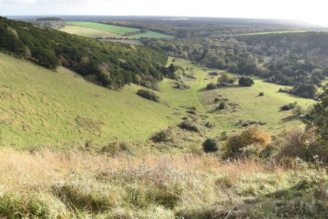
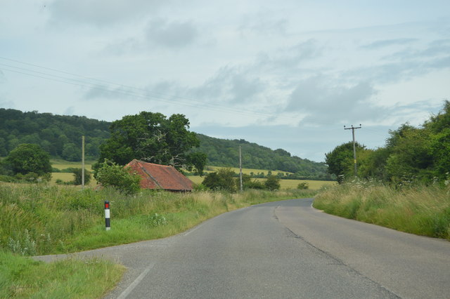
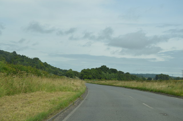
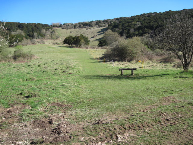
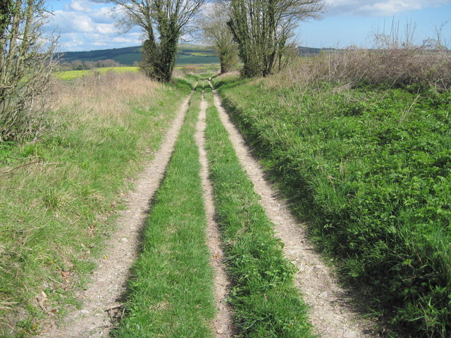
Lawrence Copse is a charming woodland area located in Sussex, England. It covers an approximate area of X hectares and is renowned for its natural beauty and diverse flora and fauna. The copse is situated in a tranquil rural setting, offering visitors a peaceful retreat from the hustle and bustle of city life.

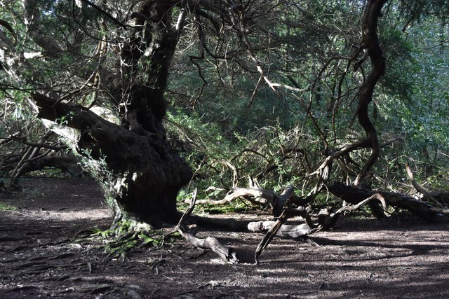
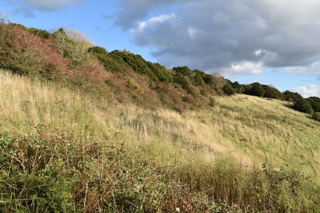
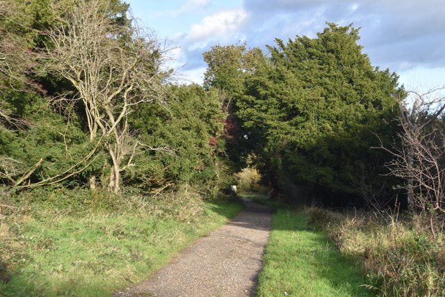
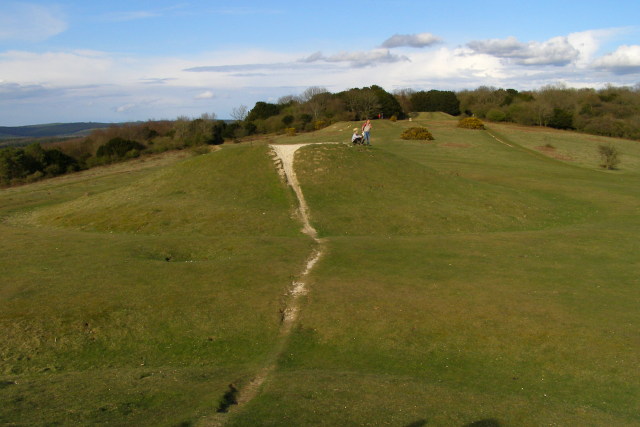
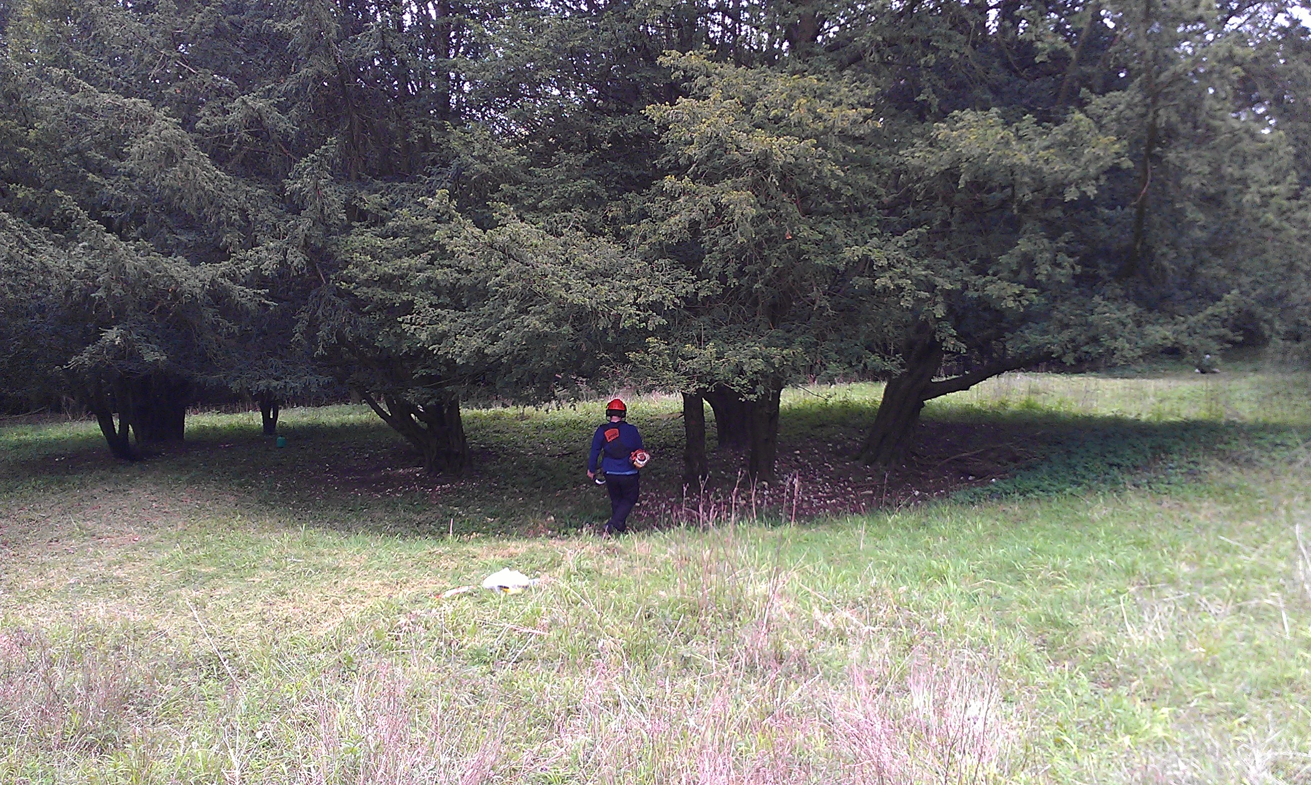
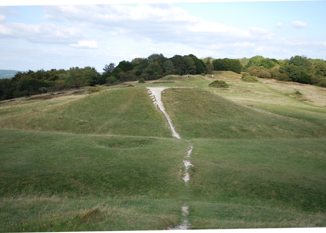
The woodland is predominantly composed of a mixture of broadleaf trees, including oak, beech, and birch, which provide a rich canopy overhead. This creates a cool and shaded environment, making it an ideal place for nature enthusiasts and walkers to explore. The forest floor is covered in a thick carpet of moss and ferns, contributing to the copse's enchanting atmosphere.

Wildlife thrives within Lawrence Copse, with a variety of bird species such as woodpeckers, owls, and thrushes being commonly sighted. The copse is also home to mammals such as squirrels, foxes, and badgers, adding to the feeling of being in a truly natural habitat.

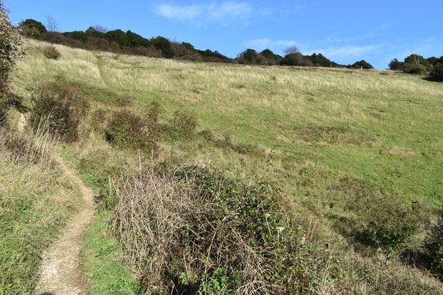
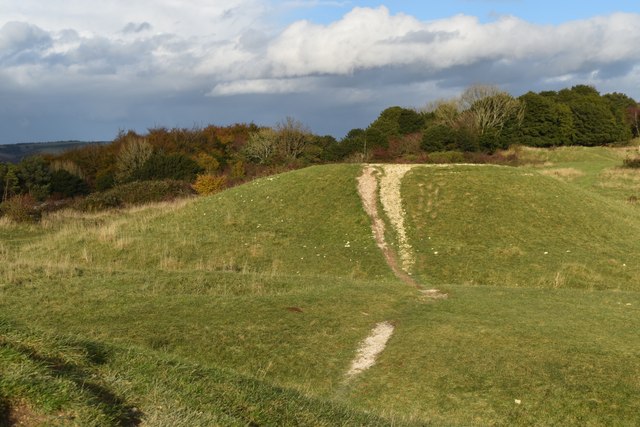
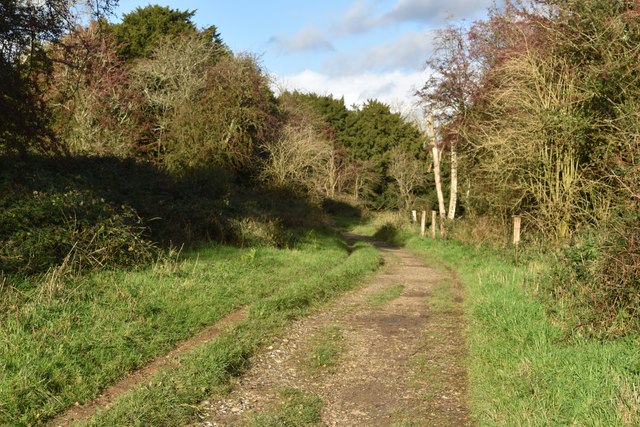
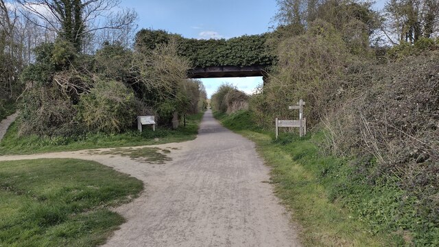
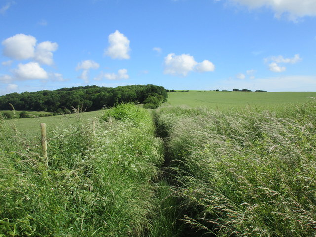
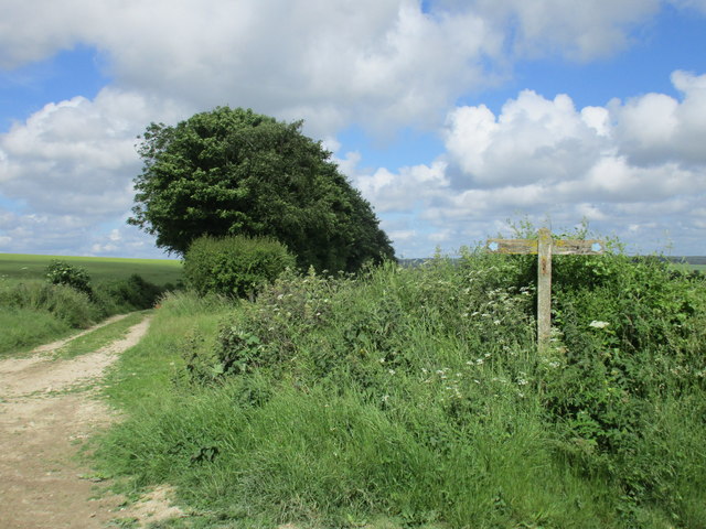
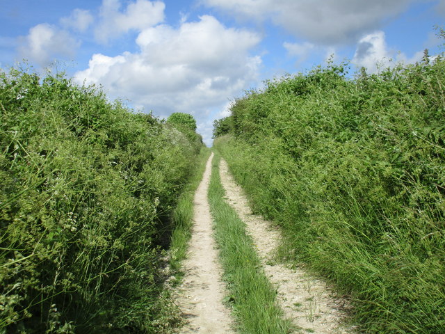
Tranquil footpaths wind through the copse, allowing visitors to immerse themselves in the woodland's beauty. These paths lead to picturesque clearings and glades, where one can find secluded spots for picnics or simply sit and enjoy the serenity of the surroundings.

Lawrence Copse is a haven for nature lovers and provides a wonderful opportunity to reconnect with the natural world. Whether exploring the woodland's diverse plant life, listening to the melodious songs of birds, or simply taking a leisurely stroll, visitors are sure to find solace and tranquility within this magical forest.

If you have any feedback on the listing, please let us know in the comments section below.

Lawrence Copse Images

Images are sourced within 2km of 50.896065/-0.81166157 or Grid Reference SU8311. Thanks to Geograph Open Source API. All images are credited.

Wooded downland at Kingley Vale
Among the ancient yew trees at Kingley Vale According to The Woodland Trust these are "estimated to be amongst the oldest living things in Britain, and one of the finest yew forests in Western Europe" <span class="nowrap"><a title="https://www.woodlandtrust.org.uk/visiting-woods/woods/kingley-vale/" rel="nofollow ugc noopener" href="https://www.woodlandtrust.org.uk/visiting-woods/woods/kingley-vale/">Link</a><img style="margin-left:2px;" alt="External link" title="External link - shift click to open in new window" src="https://s1.geograph.org.uk/img/external.png" width="10" height="10"/></span>
Among the ancient yew trees at Kingley Vale
According to The Woodland Trust these are "estimated to be amongst the oldest living things in Britain, and one of the finest yew forests in Western Europe" LinkExternal link
Climbing out of the valley at Kingley Vale Just beyond the bend on the left, steps have been cut into the steep final section of the path.
Climbing out of the valley at Kingley Vale
Just beyond the bend on the left, steps have been cut into the steep final section of the path.
View over Kingley Vale Downland valley with distant view to Chichester Harbour and the sea.
View over Kingley Vale
Downland valley with distant view to Chichester Harbour and the sea.
Hillside below the summit of Bow Hill Looking along the hillside from the same spot as <a href="https://www.geograph.org.uk/photo/7645491">SU8210 : View over Kingley Vale</a>.
Hillside below the summit of Bow Hill
Looking along the hillside from the same spot as SU8210 : View over Kingley Vale.
From one of the Devil's Humps to another Bronze Age barrows on the ridge of Bow Hill, with wide downland views to both north and south.
From one of the Devil's Humps to another
Bronze Age barrows on the ridge of Bow Hill, with wide downland views to both north and south.
Sunlit bridleway towards the Devil's Humps
Bridleway just southwest of the Devil's Humps
Centurion Way Centurion Way rail track bed path passes under the bridleway bridge to Binderton House
Centurion Way
Centurion Way rail track bed path passes under the bridleway bridge to Binderton House
Barley field above Welldown Looking towards Heathbarn Down.
Barley field above Welldown
Looking towards Heathbarn Down.
Bridleway to West Stoke Not as well used as most bridleways in this area.
Bridleway to West Stoke
Not as well used as most bridleways in this area.
Two bridleways crossing High up in the South Downs.
Two bridleways crossing
High up in the South Downs.
Bridleway to Welldown Climbing quite steeply.
Bridleway to Welldown
Climbing quite steeply.
B2141 The B2141 runs 8 miles over the South Downs from mid Lavant to South Harting. It links Chichester with Petersfield.
<span class="nowrap"><a title="http://www.sabre-roads.org.uk/wiki/index.php?title=B2141" rel="nofollow ugc noopener" href="http://www.sabre-roads.org.uk/wiki/index.php?title=B2141">Link</a><img style="margin-left:2px;" alt="External link" title="External link - shift click to open in new window" src="https://s1.geograph.org.uk/img/external.png" width="10" height="10"/></span>
B2141
The B2141 runs 8 miles over the South Downs from mid Lavant to South Harting. It links Chichester with Petersfield. LinkExternal link
B2141 near Dean Cottages The B2141 runs 8 miles over the South Downs from mid Lavant to South Harting. It links Chichester with Petersfield.
<span class="nowrap"><a title="http://www.sabre-roads.org.uk/wiki/index.php?title=B2141" rel="nofollow ugc noopener" href="http://www.sabre-roads.org.uk/wiki/index.php?title=B2141">Link</a><img style="margin-left:2px;" alt="External link" title="External link - shift click to open in new window" src="https://s1.geograph.org.uk/img/external.png" width="10" height="10"/></span>
B2141 near Dean Cottages
The B2141 runs 8 miles over the South Downs from mid Lavant to South Harting. It links Chichester with Petersfield. LinkExternal link
B2141 The B2141 runs 8 miles over the South Downs from mid Lavant to South Harting. It links Chichester with Petersfield.
<span class="nowrap"><a title="http://www.sabre-roads.org.uk/wiki/index.php?title=B2141" rel="nofollow ugc noopener" href="http://www.sabre-roads.org.uk/wiki/index.php?title=B2141">Link</a><img style="margin-left:2px;" alt="External link" title="External link - shift click to open in new window" src="https://s1.geograph.org.uk/img/external.png" width="10" height="10"/></span>
B2141
The B2141 runs 8 miles over the South Downs from mid Lavant to South Harting. It links Chichester with Petersfield. LinkExternal link
Kingley Vale
Kingley Vale
Bridleway towards Welldown
Show me another place!

Lawrence Copse is located at Grid Ref: SU8311 (Lat: 50.896065, Lng: -0.81166157)

Administrative County: West Sussex

District: Chichester

Police Authority: Sussex

What 3 Words

///liners.mostly.beak. Near Chichester, West Sussex

Related Wikis

Bow Hill, Sussex

Bow Hill is an elongated hill ridge, 206 metres (676 ft) high, and running roughly from north to south in the South Downs, in the county of West Sussex...

Goosehill Camp

Goosehill Camp is a prehistoric earthwork that dates back to the Iron Age. It consists of two concentric banks and ditches. The inner enclosure has one...

Kingley Vale National Nature Reserve

Kingley Vale is a 204.4-hectare (505-acre) biological Site of Special Scientific Interest north of Chichester in West Sussex. It is also a Special Area...

Devil's Humps, Stoughton

The Devil's Humps (also known as the Kings' Graves) are four Bronze Age barrows situated on Bow Hill on the South Downs near Stoughton, West Sussex. They...

Nearby Amenities

Located within 500m of 50.896065,-0.81166157
Lawrence Copse
Board Type: nature
Information: board
Note: Sussex FWAG Demonstration Woodland
Operator: West Dean Estate
Tourism: information
Lat/Long: 50.8971716/-0.8102094
The data included in this document is from www.openstreetmap.org. The data is made available under ODbL.

Have you been to Lawrence Copse?

Leave your review of Lawrence Copse below (or comments, questions and feedback).