Crows Hall Copse

Wood, Forest in Sussex Chichester

England

Crows Hall Copse

Track Junction at Stoughton Down A number of tracks join at this point on the edge of the woodland at Stoughton Down. The most notable being the Monarch’s Way, which has climbed the Down from the village of Stoughton on its way towards Shoreham-By-Sea. 
It was from Shoreham that the Monarch in question, Charles II, fled to France by boat.
Track Junction at Stoughton Down Credit: Chris Thomas-Atkin

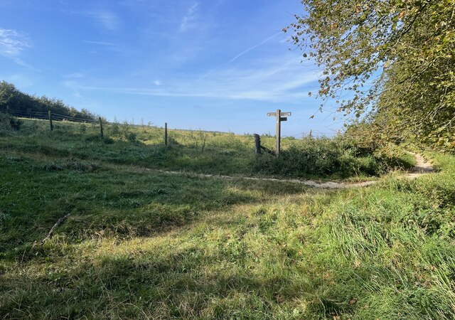
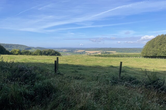
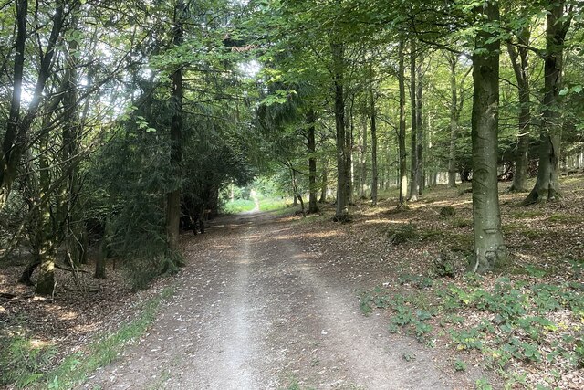
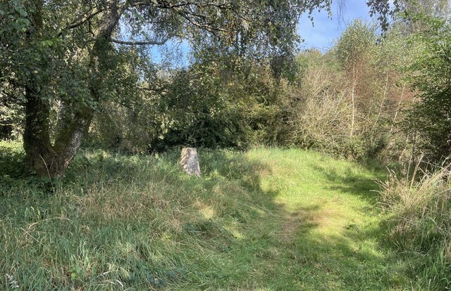
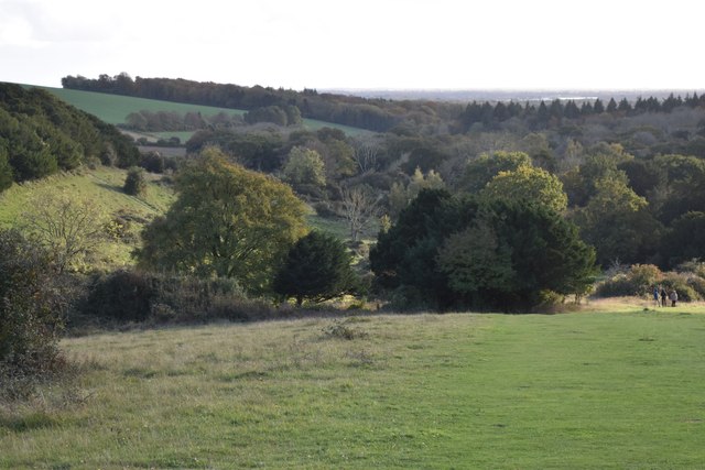
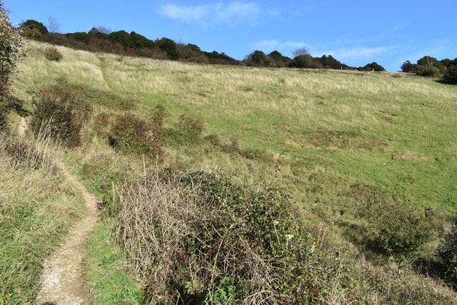
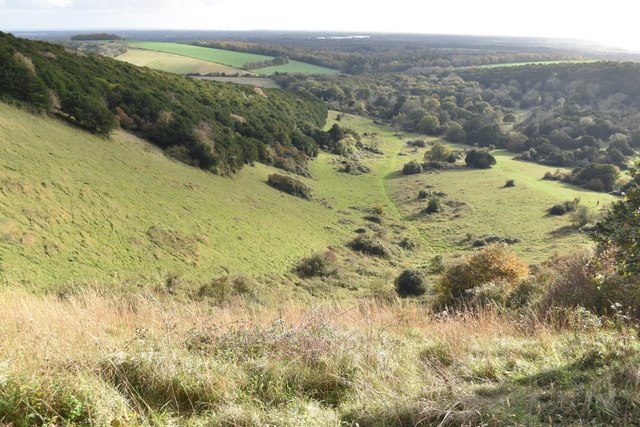
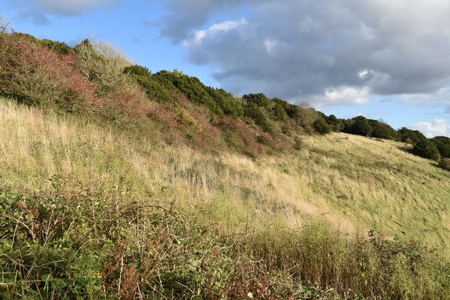
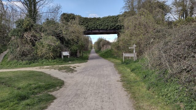
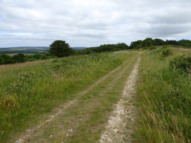
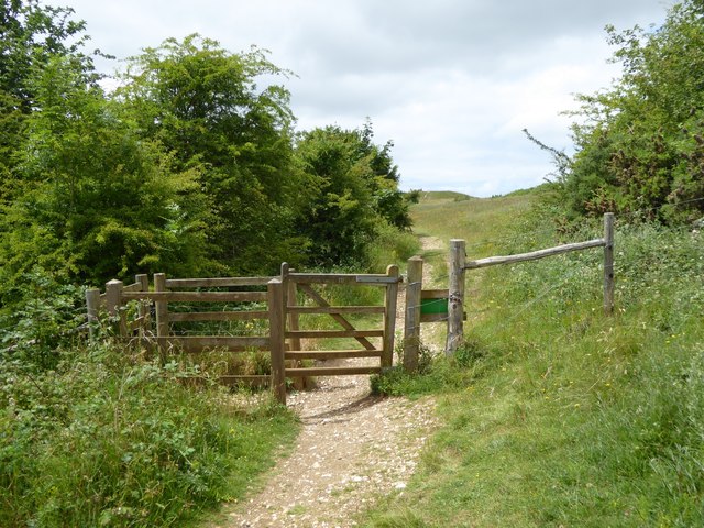
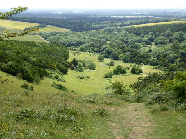
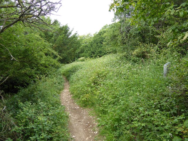
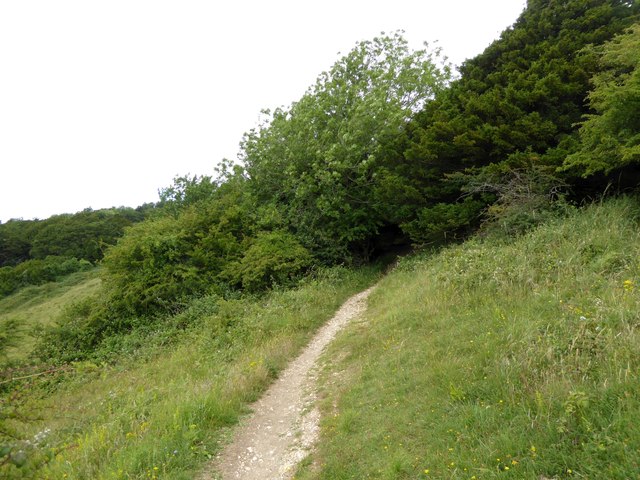
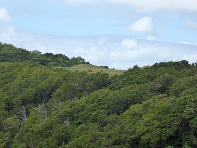
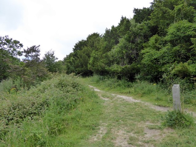
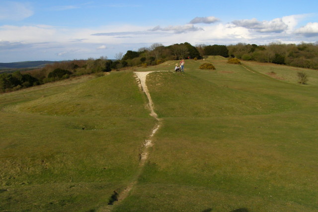
Crows Hall Copse is a picturesque woodland located in Sussex, England. Spanning over a vast area, this forest is known for its breathtaking natural beauty and diverse range of flora and fauna. With its rich history and tranquil atmosphere, it has become a popular destination for nature enthusiasts and hikers alike.

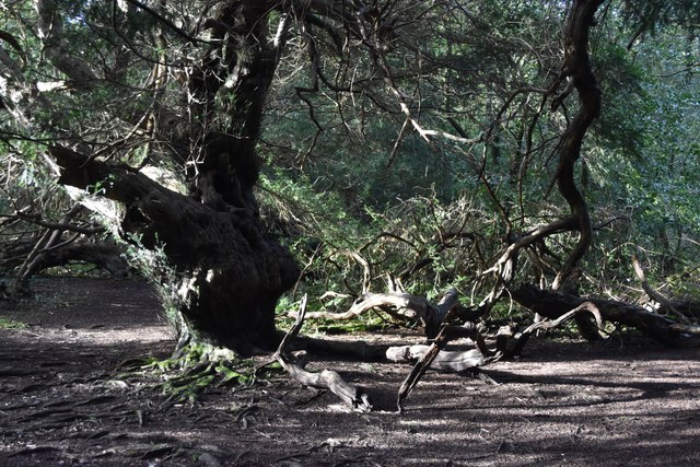
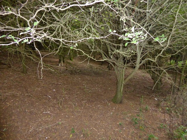
The woodland is characterized by its dense canopy of towering trees, including oak, beech, and birch, which provide a haven for numerous bird species. The melodious songs of thrushes and blackbirds can be heard echoing through the forest, while the occasional sighting of woodpeckers adds to the charm of the area.

Walking along the winding forest trails, visitors can discover a wealth of vibrant plant life, such as bluebells, wild garlic, and ferns, which carpet the forest floor during the spring and summer months. This creates a stunning backdrop for photography enthusiasts and nature lovers, who can capture the essence of this idyllic woodland.

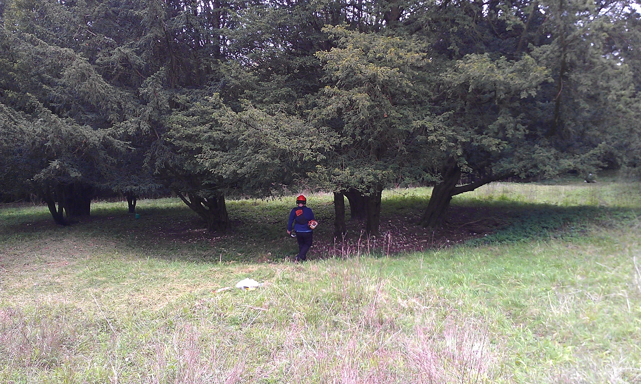
Crows Hall Copse is not only a haven for flora and fauna but also holds historical significance. It is believed to have been a part of the ancient woodland that once covered much of Sussex. The woodland has witnessed centuries of human activity, with remnants of old stone walls and the occasional ancient tree stump serving as reminders of its past.

Overall, Crows Hall Copse offers visitors a unique opportunity to immerse themselves in the beauty of nature, explore its rich history, and enjoy a peaceful retreat away from the hustle and bustle of daily life.

If you have any feedback on the listing, please let us know in the comments section below.

Crows Hall Copse Images

Images are sourced within 2km of 50.892818/-0.80801892 or Grid Reference SU8311. Thanks to Geograph Open Source API. All images are credited.

Track Junction at Stoughton Down A number of tracks join at this point on the edge of the woodland at Stoughton Down. The most notable being the Monarch’s Way, which has climbed the Down from the village of Stoughton on its way towards Shoreham-By-Sea. 
It was from Shoreham that the Monarch in question, Charles II, fled to France by boat.
Track Junction at Stoughton Down
A number of tracks join at this point on the edge of the woodland at Stoughton Down. The most notable being the Monarch’s Way, which has climbed the Down from the village of Stoughton on its way towards Shoreham-By-Sea. It was from Shoreham that the Monarch in question, Charles II, fled to France by boat.
Stoughton Down The view westwards at Stoughton Down.
Stoughton Down
The view westwards at Stoughton Down.
Track on Bow Hill On bridleway number 468 heading towards a junction with the Monarch’s Way.
Track on Bow Hill
On bridleway number 468 heading towards a junction with the Monarch’s Way.
Trig Point on Bow Hill The trig point on Bow Hill. The hill is an elongated hill ridge and reaches a height of 206 metres (676 feet)..
Trig Point on Bow Hill
The trig point on Bow Hill. The hill is an elongated hill ridge and reaches a height of 206 metres (676 feet)..
Wooded downland at Kingley Vale
Among the ancient yew trees at Kingley Vale According to The Woodland Trust these are "estimated to be amongst the oldest living things in Britain, and one of the finest yew forests in Western Europe" <span class="nowrap"><a title="https://www.woodlandtrust.org.uk/visiting-woods/woods/kingley-vale/" rel="nofollow ugc noopener" href="https://www.woodlandtrust.org.uk/visiting-woods/woods/kingley-vale/">Link</a><img style="margin-left:2px;" alt="External link" title="External link - shift click to open in new window" src="https://s1.geograph.org.uk/img/external.png" width="10" height="10"/></span>
Among the ancient yew trees at Kingley Vale
According to The Woodland Trust these are "estimated to be amongst the oldest living things in Britain, and one of the finest yew forests in Western Europe" LinkExternal link
Climbing out of the valley at Kingley Vale Just beyond the bend on the left, steps have been cut into the steep final section of the path.
Climbing out of the valley at Kingley Vale
Just beyond the bend on the left, steps have been cut into the steep final section of the path.
View over Kingley Vale Downland valley with distant view to Chichester Harbour and the sea.
View over Kingley Vale
Downland valley with distant view to Chichester Harbour and the sea.
Hillside below the summit of Bow Hill Looking along the hillside from the same spot as <a href="https://www.geograph.org.uk/photo/7645491">SU8210 : View over Kingley Vale</a>.
Hillside below the summit of Bow Hill
Looking along the hillside from the same spot as SU8210 : View over Kingley Vale.
Centurion Way Centurion Way rail track bed path passes under the bridleway bridge to Binderton House
Centurion Way
Centurion Way rail track bed path passes under the bridleway bridge to Binderton House
Track close to the Devil's Humps Just below the top of the ridge, on the north-west side
Track close to the Devil's Humps
Just below the top of the ridge, on the north-west side
Kissing gate on path at Kingley Vale The gate provides a way out from the reserve to the ridge and the Devil's Humps (tumuli) which are on the horizon
Kissing gate on path at Kingley Vale
The gate provides a way out from the reserve to the ridge and the Devil's Humps (tumuli) which are on the horizon
The valley at Kingley Vale The view from a footpath above the valley includes the wooded slopes, and beyond to the flat countryside around Chichester
The valley at Kingley Vale
The view from a footpath above the valley includes the wooded slopes, and beyond to the flat countryside around Chichester
Path to the ridge above Kingley Vale One of the signed paths through the reserve
Path to the ridge above Kingley Vale
One of the signed paths through the reserve
Ancient dense woodland in Kingley Vale The reserve at Kingley Vale is noted for the patches of dense forest and woodland, especially of yew trees, which prevent any other plants from growing under their canopy
Ancient dense woodland in Kingley Vale
The reserve at Kingley Vale is noted for the patches of dense forest and woodland, especially of yew trees, which prevent any other plants from growing under their canopy
Path entering a clump of ancient yews, Kingley Vale
Slope covered with dense woodland, Kingley Vale The head of the valley of Kingley Vale, seen from Bow Hill, with one of the Devil's Humps on the skyline
Slope covered with dense woodland, Kingley Vale
The head of the valley of Kingley Vale, seen from Bow Hill, with one of the Devil's Humps on the skyline
Fork in the paths on Bow Hill, Kingley Vale A waymarked junction of paths for those following a trail around the reserve
Fork in the paths on Bow Hill, Kingley Vale
A waymarked junction of paths for those following a trail around the reserve
Show me another place!

Crows Hall Copse is located at Grid Ref: SU8311 (Lat: 50.892818, Lng: -0.80801892)

Administrative County: West Sussex

District: Chichester

Police Authority: Sussex

What 3 Words

///replenish.movies.stocks. Near Chichester, West Sussex

Related Wikis

Bow Hill, Sussex

Bow Hill is an elongated hill ridge, 206 metres (676 ft) high, and running roughly from north to south in the South Downs, in the county of West Sussex...

Kingley Vale National Nature Reserve

Kingley Vale is a 204.4-hectare (505-acre) biological Site of Special Scientific Interest north of Chichester in West Sussex. It is also a Special Area...

Goosehill Camp

Goosehill Camp is a prehistoric earthwork that dates back to the Iron Age. It consists of two concentric banks and ditches. The inner enclosure has one...

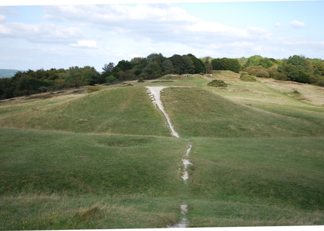
Devil's Humps, Stoughton

The Devil's Humps (also known as the Kings' Graves) are four Bronze Age barrows situated on Bow Hill on the South Downs near Stoughton, West Sussex. They...

West Dean, West Sussex

West Dean is a village, Anglican parish and civil parish in the District of Chichester in West Sussex, England 5 miles (8 km) north of Chichester on the...

West Dean College

West Dean College of Arts and Conservation is situated in the 6,350-acre (25.7 km2) West Dean Estate, of West Dean near Chichester. The Estate was formerly...
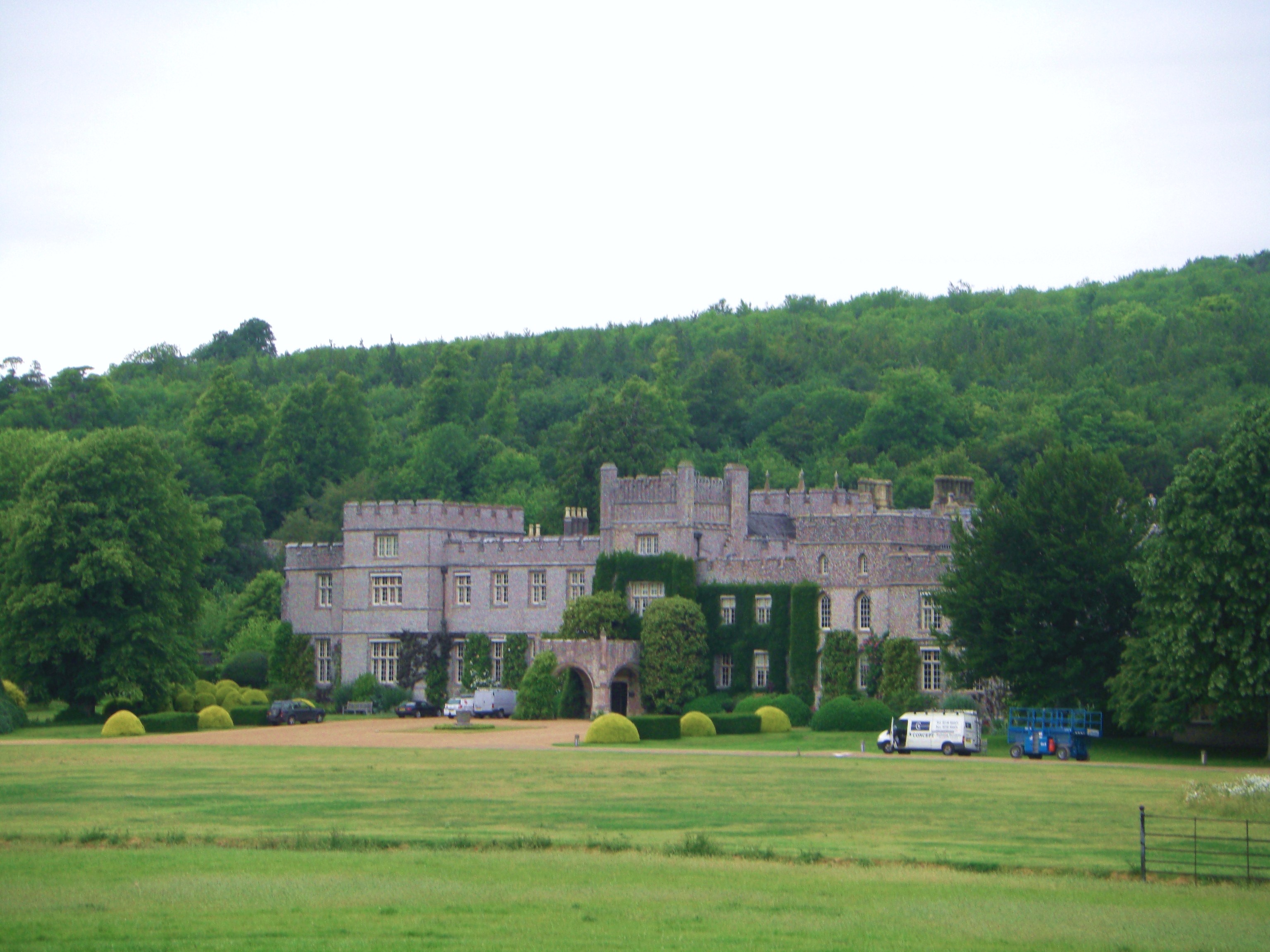
West Dean House

West Dean House is a large flint-faced manor house situated in West Dean, West Sussex, near the historic City of Chichester. This country estate has approximately...

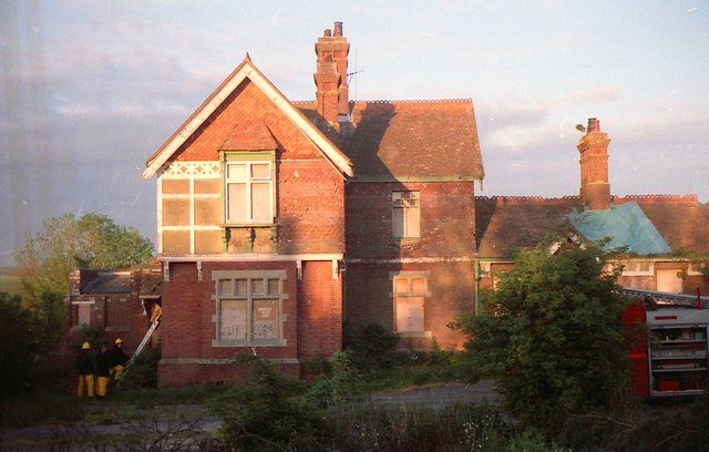
Lavant railway station

Lavant Railway Station served the village group of Lavant in the county of West Sussex in England. It was on the former London Brighton and South Coast...

Nearby Amenities

Located within 500m of 50.892818,-0.80801892
The data included in this document is from www.openstreetmap.org. The data is made available under ODbL.

Have you been to Crows Hall Copse?

Leave your review of Crows Hall Copse below (or comments, questions and feedback).