Aber-ffrwd
Settlement in Cardiganshire
Wales
Aber-ffrwd
![Allt Ty-cam [hill] With Neuadd Parc Farm visible, bottom left. Viewed from Aberffrwd.](https://s0.geograph.org.uk/geophotos/07/15/30/7153040_c11e42e7.jpg)
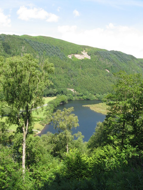
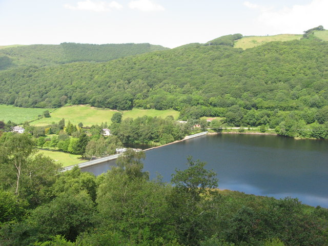
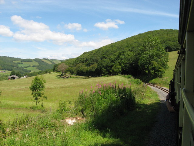
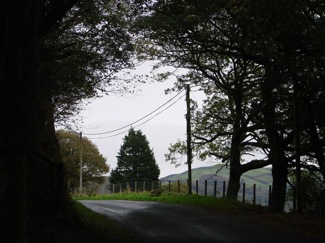
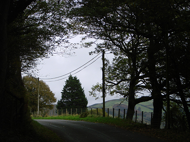
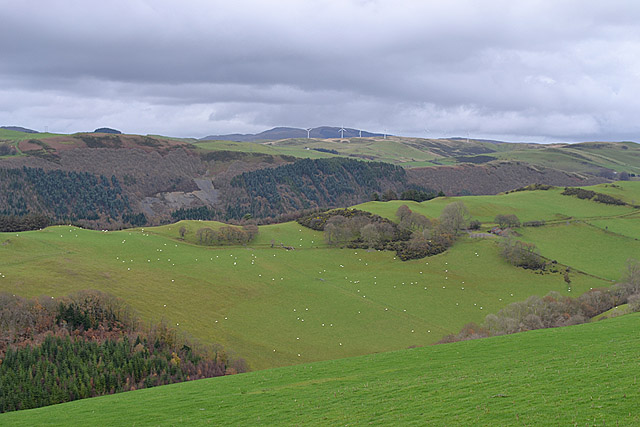
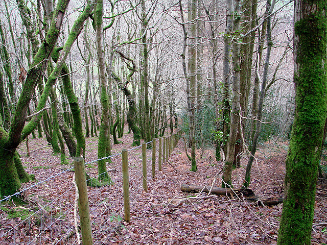
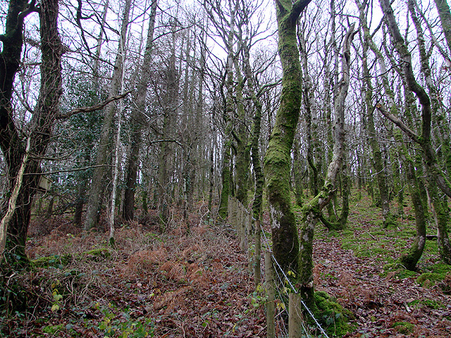
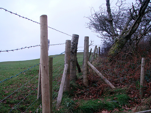
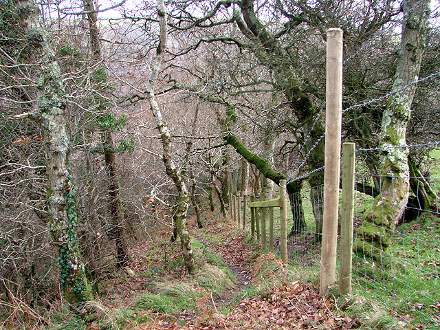
Aber-ffrwd is a small village located in the county of Cardiganshire, Wales. Situated in the western part of the country, it lies on the banks of the River Ffrwd, which gives the village its name. Aber-ffrwd is surrounded by a picturesque landscape characterized by rolling hills and lush greenery, making it a popular destination for nature enthusiasts.
The village itself is relatively small, with a population of approximately 300 residents. It is primarily a residential area, with a few local businesses catering to the needs of the community. The village is known for its tight-knit community spirit and friendly atmosphere.
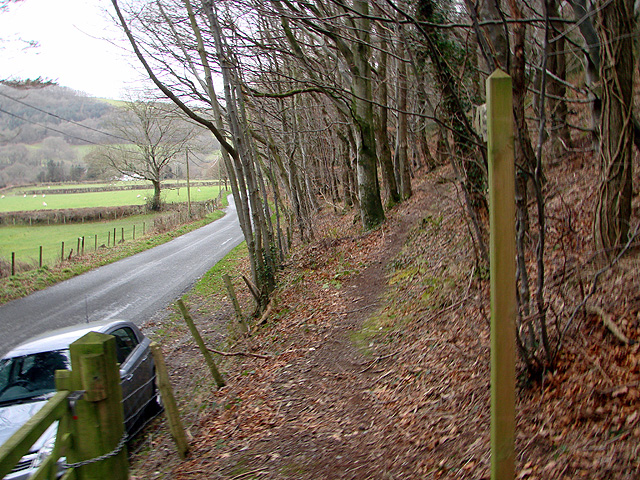
Aber-ffrwd offers a range of outdoor activities for visitors and locals alike. The river provides opportunities for fishing and boating, while the surrounding countryside offers scenic hiking trails and peaceful picnic spots. The village is also within close proximity to several natural attractions, including beautiful waterfalls and nature reserves, making it an ideal base for exploring the region.
Despite its rural setting, Aber-ffrwd benefits from good transport links. The nearby town of Cardigan, located just a few miles away, provides access to amenities such as shops, schools, and healthcare facilities. Additionally, the village is well-connected to the rest of Wales via a network of roads and public transport services.
In summary, Aber-ffrwd is a charming village in Cardiganshire, Wales, offering a tranquil setting amidst stunning natural surroundings. With its strong sense of community and range of outdoor activities, it is an appealing destination for those seeking a peaceful retreat or an opportunity to explore the Welsh countryside.
If you have any feedback on the listing, please let us know in the comments section below.
Aber-ffrwd Images
Images are sourced within 2km of 52.39125/-3.929348 or Grid Reference SN6878. Thanks to Geograph Open Source API. All images are credited.

Aber-ffrwd is located at Grid Ref: SN6878 (Lat: 52.39125, Lng: -3.929348)
Unitary Authority: Ceredigion
Police Authority: Dyfed Powys
Also known as: Aberffrwd
What 3 Words
///walls.flesh.unheated. Near Llanilar, Ceredigion
Nearby Locations
Related Wikis

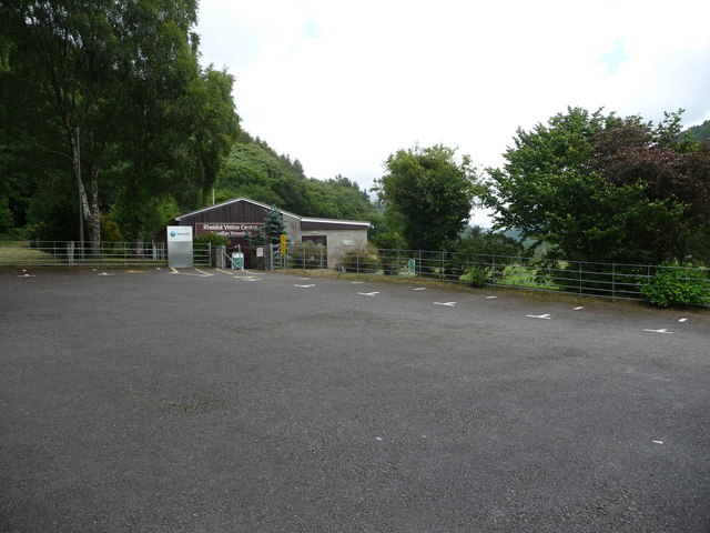
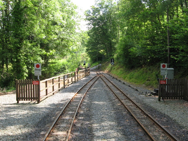
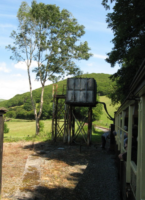
Aberffrwd railway station
Aberffrwd railway station is a railway station serving Aberffrwd in Ceredigion in Mid-Wales, and is an intermediate stop on the preserved Vale of Rheidol...

Aberffrwd, Ceredigion
Aberffrwd is a village in the Welsh principal area of Ceredigion. It has a railway station on the narrow-gauge Vale of Rheidol Railway, which was operated...

Ceredigion (Senedd constituency)
Ceredigion is a constituency of the Senedd. It elects one Member of the Senedd by the first past the post method of election. It is also one of eight constituencies...

Nantyronen railway station
Nantyronen railway station is a railway station serving Nantyronen in Ceredigion in Mid-Wales. It is an intermediate station and request stop on the preserved...

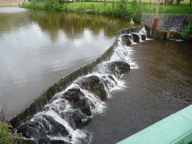
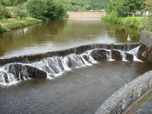
Afon Rheidol
The Afon Rheidol ("river Rheidol") is a river in Ceredigion, Wales, 19 miles (31 km) in length. The source is Plynlimon. Receiving an average annual rainfall...

Melindwr
Melindwr is a community in the county of Ceredigion, Wales, to the east of Aberystwyth and is 71.6 miles (115.1 km) from Cardiff and 173.8 miles (279.7...

Pisgah, Ceredigion
Pisgah, Ceredigion is a hamlet in the community of Melindwr, Ceredigion, Wales, which is 70.2 miles (113 km) from Cardiff and 173.3 miles (278.8 km) from...

Rheidol Falls railway station
Rheidol Falls railway station is a railway station serving Rheidol Falls in Ceredigion in Mid-Wales. It is an intermediate station and request stop on...
Nearby Amenities
Located within 500m of 52.39125,-3.929348Have you been to Aber-ffrwd?
Leave your review of Aber-ffrwd below (or comments, questions and feedback).