Aberffrwd

Settlement in Cardiganshire

Wales

Aberffrwd

Track in Coed Dolfar On a bright but cold day. Didn't notice at the time, but the Moon is clearly visible upper centre.
Track in Coed Dolfar Credit: John Lucas

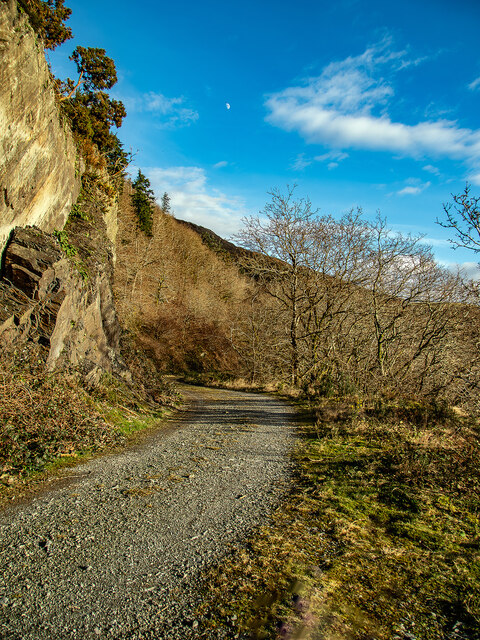
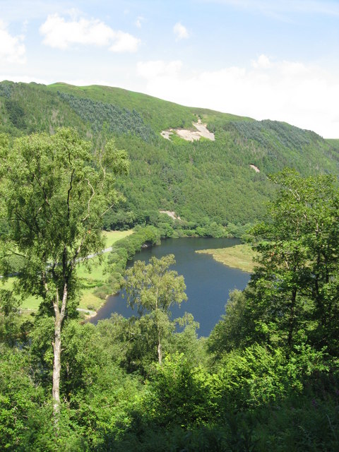
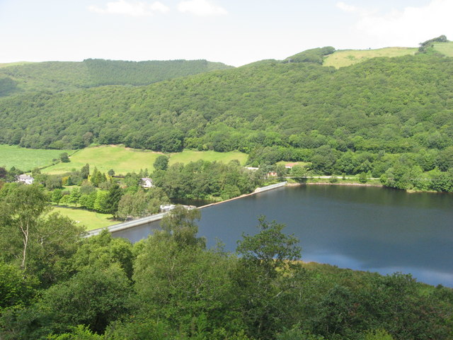
Aberffrwd is a small village located in the county of Cardiganshire, Wales. Situated in the beautiful Cambrian Mountains, it lies on the banks of the River Ystwyth, offering breathtaking views of the surrounding natural landscapes. The village is approximately 12 miles southeast of Aberystwyth, the largest town in the area.

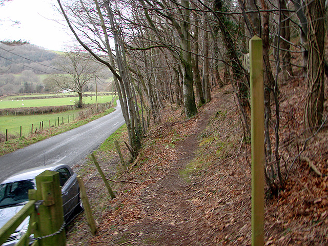
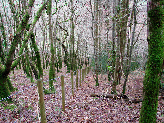
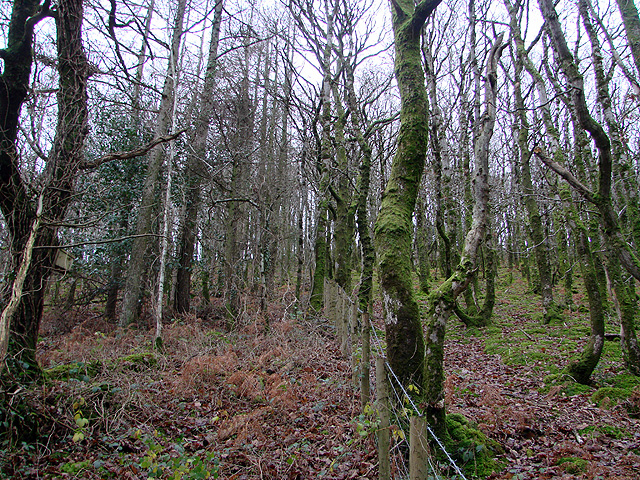
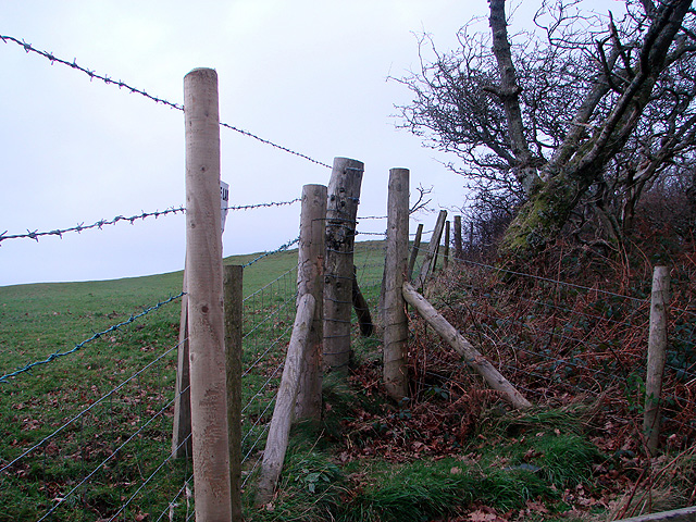
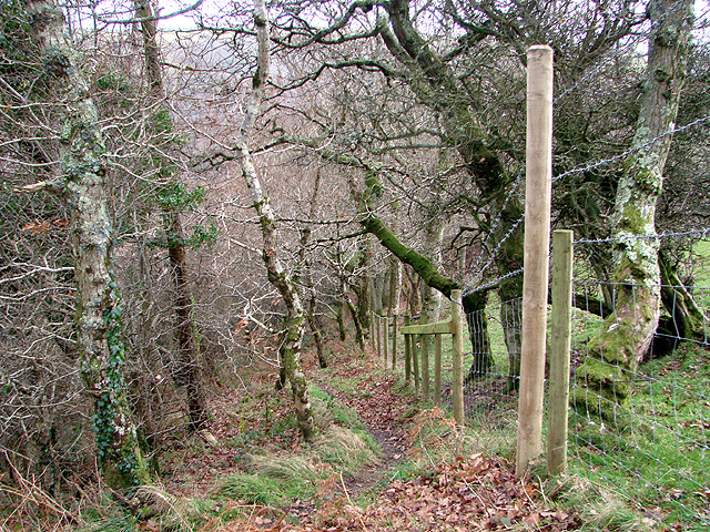
Aberffrwd is known for its tranquility and peaceful atmosphere, attracting visitors seeking to escape the hustle and bustle of city life. Its idyllic setting makes it an ideal destination for outdoor enthusiasts, with numerous hiking trails and nature walks nearby. The village is surrounded by lush forests, providing ample opportunities for exploring the diverse flora and fauna of the region.

In terms of amenities, Aberffrwd is relatively modest. It has a charming local pub, serving traditional Welsh food and ales, which acts as a meeting point for both locals and tourists. The village also has a small convenience store, supplying essential groceries and basic necessities.

Historically, Aberffrwd's economy was primarily based on agriculture and mining. However, today, the village relies more on tourism and the local hospitality industry. Many visitors are drawn to the area's rich history and cultural heritage, including the nearby remains of lead mines and old farmhouses.

Aberffrwd offers a peaceful retreat for those seeking to immerse themselves in the natural beauty of Wales, with its stunning landscapes and warm hospitality making it a hidden gem in Cardiganshire.

If you have any feedback on the listing, please let us know in the comments section below.
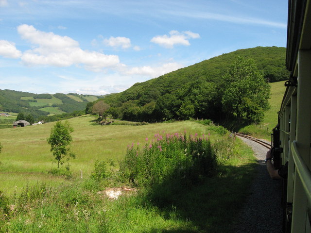
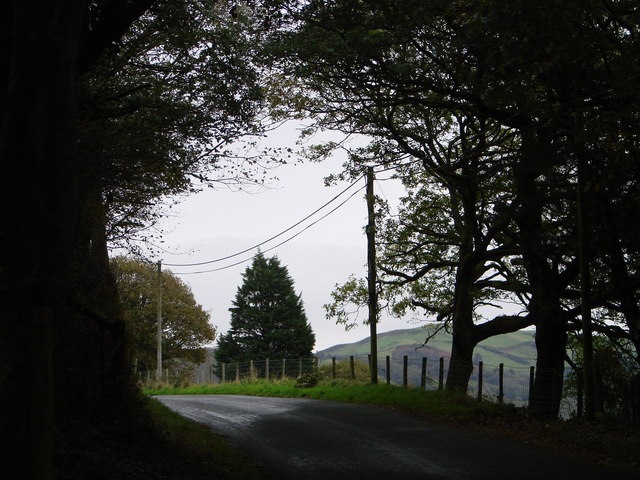
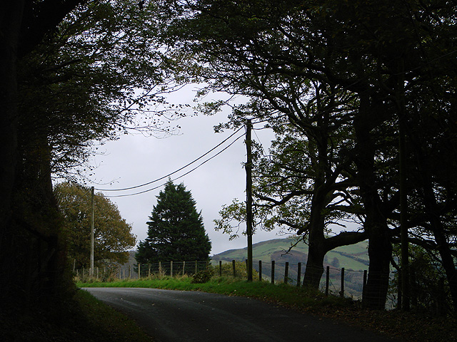
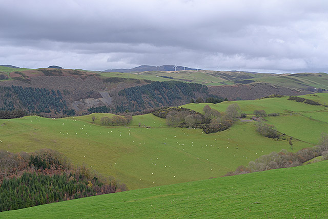
Aberffrwd Images

Images are sourced within 2km of 52.39125/-3.929348 or Grid Reference SN6878. Thanks to Geograph Open Source API. All images are credited.

Track in Coed Dolfar On a bright but cold day. Didn't notice at the time, but the Moon is clearly visible upper centre.
Track in Coed Dolfar
On a bright but cold day. Didn't notice at the time, but the Moon is clearly visible upper centre.
Allt Ty-cam [hill] With Neuadd Parc Farm visible, bottom left. Viewed from Aberffrwd.
Allt Ty-cam [hill]
With Neuadd Parc Farm visible, bottom left. Viewed from Aberffrwd.
The Statkraft Rheidol Visitor Centre in Cwm Rheidol Statkraft is the company that operates the dam and powerstation here. The visitor centre is for the many visitors that come here car touring or walking or to ride the nearby railway and provides history and info on the area and the industry here.
The Statkraft Rheidol Visitor Centre in Cwm Rheidol
Statkraft is the company that operates the dam and powerstation here. The visitor centre is for the many visitors that come here car touring or walking or to ride the nearby railway and provides history and info on the area and the industry here.
Weir on the Afon Rheidol below Cwm Rheidol Reservoir Styled to look naturalistic, this weir looks very photogenic.
Weir on the Afon Rheidol below Cwm Rheidol Reservoir
Styled to look naturalistic, this weir looks very photogenic.
Weir and dam on the Afon Rheidol at Cwm Rheidol Reservoir All still very redolent of its 1960's heyday. Very nicely styled though, an uninformed visitor would hardly notice that it's all part of a man-made reservoir with powerstation etc.
Weir and dam on the Afon Rheidol at Cwm Rheidol Reservoir
All still very redolent of its 1960's heyday. Very nicely styled though, an uninformed visitor would hardly notice that it's all part of a man-made reservoir with powerstation etc.
The Rheidol Stag and Rheidol River As viewed from the Vale of Rheidol Railway.
The Rheidol Stag and Rheidol River
As viewed from the Vale of Rheidol Railway.
View towards Cwm Rheidol Reservoir dam As viewed from the Vale of Rheidol Railway.
View towards Cwm Rheidol Reservoir dam
As viewed from the Vale of Rheidol Railway.
Vale of Rheidol Railway: Aberffrwd
Vale of Rheidol Railway: taking on water at Nantyronen
Vale of Rheidol railway near Nantyronen
Light and shade in the Rheidol Valley Looking out from the tree cover by Pant Da woods.
Light and shade in the Rheidol Valley
Looking out from the tree cover by Pant Da woods.
Light and shade in the Rheidol Valley Looking out from the tree cover by Pant Da woods.
Light and shade in the Rheidol Valley
Looking out from the tree cover by Pant Da woods.
View from the A4120 towards Plynlimon Looking over sloping fields and the forested  gash of Cwm Rheidol to the distant mountain. Taken in December, after an unusually mild Autumn.
View from the A4120 towards Plynlimon
Looking over sloping fields and the forested gash of Cwm Rheidol to the distant mountain. Taken in December, after an unusually mild Autumn.
Entrance to Pant Da Wood, beside the lane in Cwm Rheidol Pant Da Nature Reserve is managed by the Wildlife Trust of South and West Wales. 

Pant Da Wood lies about one and a half miles from Capel Bangor, beside the minor road which runs through Cwm Rheidol, and it is part of the extensive area of south-facing woodland to be found in the valley. The reserve was established in the 1980s and at that time an area of larch, planted in the 1950s, was felled and replanted with oak. In earlier times the wood was used to coppice oak and some coppice stools survive. Other species, including rowan, silver birch and beech, are also to be found.

Most of the reserve lies in the north-west corner of square <a href="https://www.geograph.org.uk/gridref/SN6778">SN6778</a> but it just extends into the south west of <a href="https://www.geograph.org.uk/gridref/SN6779">SN6779</a>. The entrance to the site is to be found at GR <a href="https://www.geograph.org.uk/gridref/SN67087879">SN67087879</a>, beside the Cwm Rheidol Road, and the northern extent is at GR <a href="https://www.geograph.org.uk/gridref/SN67067902">SN67067902</a>. The path through the reserve climbs some 100 metres over a straight distance of about 280 metres, so some zigzagging has been created so as to ease the walking gradient.

In addition to the trees, bramble and bracken scrub has been allowed to develop and this has encouraged a diversity of woodland birds. Badger sets are also to be found here.

The reserve is bordered by Ffynnon-wen and Troedrhiwlas farms and there is no public access to the site, other than from the entrance mentioned above.

In 2003 a previously unknown hill fort was discovered, by aerial survey, on the hill above Pant Da wood.

In 2007, a memorial viewpoint was constructed in the reserve to commemorate Nancy Kirk, a lecturer in geology at Aberystwyth University, who died in 2005. The memorial consists of a bench and a slate table and is set at the highest point of the reserve, where some fine views of the Rheidol Valley are to be had.

Links:
South and West Wales Wildlife Trust page <span class="nowrap"><a title="http://www.welshwildlife.org/nature-reserve/pant-da-rheidol-valley-ceredigion/" rel="nofollow ugc noopener" href="http://www.welshwildlife.org/nature-reserve/pant-da-rheidol-valley-ceredigion/">Link</a><img style="margin-left:2px;" alt="External link" title="External link - shift click to open in new window" src="https://s1.geograph.org.uk/img/external.png" width="10" height="10"/></span>
RCAHMW page <span class="nowrap"><a title="http://www.coflein.gov.uk/en/site/308517/details/PANT+DA+WOOD/" rel="nofollow ugc noopener" href="http://www.coflein.gov.uk/en/site/308517/details/PANT+DA+WOOD/">Link</a><img style="margin-left:2px;" alt="External link" title="External link - shift click to open in new window" src="https://s1.geograph.org.uk/img/external.png" width="10" height="10"/></span>
Nancy Kirk <span class="nowrap"><a title="http://abergeologists.net/wp/2005/12/03/nancy-kirk-1916-2005/" rel="nofollow ugc noopener" href="http://abergeologists.net/wp/2005/12/03/nancy-kirk-1916-2005/">Link</a><img style="margin-left:2px;" alt="External link" title="External link - shift click to open in new window" src="https://s1.geograph.org.uk/img/external.png" width="10" height="10"/></span>
Entrance to Pant Da Wood, beside the lane in Cwm Rheidol
Pant Da Nature Reserve is managed by the Wildlife Trust of South and West Wales. Pant Da Wood lies about one and a half miles from Capel Bangor, beside the minor road which runs through Cwm Rheidol, and it is part of the extensive area of south-facing woodland to be found in the valley. The reserve was established in the 1980s and at that time an area of larch, planted in the 1950s, was felled and replanted with oak. In earlier times the wood was used to coppice oak and some coppice stools survive. Other species, including rowan, silver birch and beech, are also to be found. Most of the reserve lies in the north-west corner of square SN6778 but it just extends into the south west of SN6779. The entrance to the site is to be found at GR SN67087879, beside the Cwm Rheidol Road, and the northern extent is at GR SN67067902. The path through the reserve climbs some 100 metres over a straight distance of about 280 metres, so some zigzagging has been created so as to ease the walking gradient. In addition to the trees, bramble and bracken scrub has been allowed to develop and this has encouraged a diversity of woodland birds. Badger sets are also to be found here. The reserve is bordered by Ffynnon-wen and Troedrhiwlas farms and there is no public access to the site, other than from the entrance mentioned above. In 2003 a previously unknown hill fort was discovered, by aerial survey, on the hill above Pant Da wood. In 2007, a memorial viewpoint was constructed in the reserve to commemorate Nancy Kirk, a lecturer in geology at Aberystwyth University, who died in 2005. The memorial consists of a bench and a slate table and is set at the highest point of the reserve, where some fine views of the Rheidol Valley are to be had. Links: South and West Wales Wildlife Trust page LinkExternal link RCAHMW page LinkExternal link Nancy Kirk LinkExternal link
Fence line in Pant Da Wood Pant Da Nature Reserve is managed by the Wildlife Trust of South and West Wales. 

Pant Da Wood lies about one and a half miles from Capel Bangor, beside the minor road which runs through Cwm Rheidol, and it is part of the extensive area of south-facing woodland to be found in the valley. The reserve was established in the 1980s and at that time an area of larch, planted in the 1950s, was felled and replanted with oak. In earlier times the wood was used to coppice oak and some coppice stools survive. Other species, including rowan, silver birch and beech, are also to be found.

Most of the reserve lies in the north-west corner of square <a href="https://www.geograph.org.uk/gridref/SN6778">SN6778</a> but it just extends into the south west of <a href="https://www.geograph.org.uk/gridref/SN6779">SN6779</a>. The entrance to the site is to be found at GR <a href="https://www.geograph.org.uk/gridref/SN67087879">SN67087879</a>, beside the Cwm Rheidol Road, and the northern extent is at GR <a href="https://www.geograph.org.uk/gridref/SN67067902">SN67067902</a>. The path through the reserve climbs some 100 metres over a straight distance of about 280 metres, so some zigzagging has been created so as to ease the walking gradient.

In addition to the trees, bramble and bracken scrub has been allowed to develop and this has encouraged a diversity of woodland birds. Badger sets are also to be found here.

The reserve is bordered by Ffynnon-wen and Troedrhiwlas farms and there is no public access to the site, other than from the entrance mentioned above.

In 2003 a previously unknown hill fort was discovered, by aerial survey, on the hill above Pant Da wood.

In 2007, a memorial viewpoint was constructed in the reserve to commemorate Nancy Kirk, a lecturer in geology at Aberystwyth University, who died in 2005. The memorial consists of a bench and a slate table and is set at the highest point of the reserve, where some fine views of the Rheidol Valley are to be had.

Links:
South and West Wales Wildlife Trust page <span class="nowrap"><a title="http://www.welshwildlife.org/nature-reserve/pant-da-rheidol-valley-ceredigion/" rel="nofollow ugc noopener" href="http://www.welshwildlife.org/nature-reserve/pant-da-rheidol-valley-ceredigion/">Link</a><img style="margin-left:2px;" alt="External link" title="External link - shift click to open in new window" src="https://s1.geograph.org.uk/img/external.png" width="10" height="10"/></span>
RCAHMW page <span class="nowrap"><a title="http://www.coflein.gov.uk/en/site/308517/details/PANT+DA+WOOD/" rel="nofollow ugc noopener" href="http://www.coflein.gov.uk/en/site/308517/details/PANT+DA+WOOD/">Link</a><img style="margin-left:2px;" alt="External link" title="External link - shift click to open in new window" src="https://s1.geograph.org.uk/img/external.png" width="10" height="10"/></span>
Nancy Kirk <span class="nowrap"><a title="http://abergeologists.net/wp/2005/12/03/nancy-kirk-1916-2005/" rel="nofollow ugc noopener" href="http://abergeologists.net/wp/2005/12/03/nancy-kirk-1916-2005/">Link</a><img style="margin-left:2px;" alt="External link" title="External link - shift click to open in new window" src="https://s1.geograph.org.uk/img/external.png" width="10" height="10"/></span>
Fence line in Pant Da Wood
Pant Da Nature Reserve is managed by the Wildlife Trust of South and West Wales. Pant Da Wood lies about one and a half miles from Capel Bangor, beside the minor road which runs through Cwm Rheidol, and it is part of the extensive area of south-facing woodland to be found in the valley. The reserve was established in the 1980s and at that time an area of larch, planted in the 1950s, was felled and replanted with oak. In earlier times the wood was used to coppice oak and some coppice stools survive. Other species, including rowan, silver birch and beech, are also to be found. Most of the reserve lies in the north-west corner of square SN6778 but it just extends into the south west of SN6779. The entrance to the site is to be found at GR SN67087879, beside the Cwm Rheidol Road, and the northern extent is at GR SN67067902. The path through the reserve climbs some 100 metres over a straight distance of about 280 metres, so some zigzagging has been created so as to ease the walking gradient. In addition to the trees, bramble and bracken scrub has been allowed to develop and this has encouraged a diversity of woodland birds. Badger sets are also to be found here. The reserve is bordered by Ffynnon-wen and Troedrhiwlas farms and there is no public access to the site, other than from the entrance mentioned above. In 2003 a previously unknown hill fort was discovered, by aerial survey, on the hill above Pant Da wood. In 2007, a memorial viewpoint was constructed in the reserve to commemorate Nancy Kirk, a lecturer in geology at Aberystwyth University, who died in 2005. The memorial consists of a bench and a slate table and is set at the highest point of the reserve, where some fine views of the Rheidol Valley are to be had. Links: South and West Wales Wildlife Trust page LinkExternal link RCAHMW page LinkExternal link Nancy Kirk LinkExternal link
Looking up towards the summit of Pant Da Wood Pant Da Nature Reserve is managed by the Wildlife Trust of South and West Wales. 

Pant Da Wood lies about one and a half miles from Capel Bangor, beside the minor road which runs through Cwm Rheidol, and it is part of the extensive area of south-facing woodland to be found in the valley. The reserve was established in the 1980s and at that time an area of larch, planted in the 1950s, was felled and replanted with oak. In earlier times the wood was used to coppice oak and some coppice stools survive. Other species, including rowan, silver birch and beech, are also to be found.

Most of the reserve lies in the north-west corner of square <a href="https://www.geograph.org.uk/gridref/SN6778">SN6778</a> but it just extends into the south west of <a href="https://www.geograph.org.uk/gridref/SN6779">SN6779</a>. The entrance to the site is to be found at GR <a href="https://www.geograph.org.uk/gridref/SN67087879">SN67087879</a>, beside the Cwm Rheidol Road, and the northern extent is at GR <a href="https://www.geograph.org.uk/gridref/SN67067902">SN67067902</a>. The path through the reserve climbs some 100 metres over a straight distance of about 280 metres, so some zigzagging has been created so as to ease the walking gradient.

In addition to the trees, bramble and bracken scrub has been allowed to develop and this has encouraged a diversity of woodland birds. Badger sets are also to be found here.

The reserve is bordered by Ffynnon-wen and Troedrhiwlas farms and there is no public access to the site, other than from the entrance mentioned above.

In 2003 a previously unknown hill fort was discovered, by aerial survey, on the hill above Pant Da wood.

In 2007, a memorial viewpoint was constructed in the reserve to commemorate Nancy Kirk, a lecturer in geology at Aberystwyth University, who died in 2005. The memorial consists of a bench and a slate table and is set at the highest point of the reserve, where some fine views of the Rheidol Valley are to be had.

Links:
South and West Wales Wildlife Trust page <span class="nowrap"><a title="http://www.welshwildlife.org/nature-reserve/pant-da-rheidol-valley-ceredigion/" rel="nofollow ugc noopener" href="http://www.welshwildlife.org/nature-reserve/pant-da-rheidol-valley-ceredigion/">Link</a><img style="margin-left:2px;" alt="External link" title="External link - shift click to open in new window" src="https://s1.geograph.org.uk/img/external.png" width="10" height="10"/></span>
RCAHMW page <span class="nowrap"><a title="http://www.coflein.gov.uk/en/site/308517/details/PANT+DA+WOOD/" rel="nofollow ugc noopener" href="http://www.coflein.gov.uk/en/site/308517/details/PANT+DA+WOOD/">Link</a><img style="margin-left:2px;" alt="External link" title="External link - shift click to open in new window" src="https://s1.geograph.org.uk/img/external.png" width="10" height="10"/></span>
Nancy Kirk <span class="nowrap"><a title="http://abergeologists.net/wp/2005/12/03/nancy-kirk-1916-2005/" rel="nofollow ugc noopener" href="http://abergeologists.net/wp/2005/12/03/nancy-kirk-1916-2005/">Link</a><img style="margin-left:2px;" alt="External link" title="External link - shift click to open in new window" src="https://s1.geograph.org.uk/img/external.png" width="10" height="10"/></span>
Looking up towards the summit of Pant Da Wood
Pant Da Nature Reserve is managed by the Wildlife Trust of South and West Wales. Pant Da Wood lies about one and a half miles from Capel Bangor, beside the minor road which runs through Cwm Rheidol, and it is part of the extensive area of south-facing woodland to be found in the valley. The reserve was established in the 1980s and at that time an area of larch, planted in the 1950s, was felled and replanted with oak. In earlier times the wood was used to coppice oak and some coppice stools survive. Other species, including rowan, silver birch and beech, are also to be found. Most of the reserve lies in the north-west corner of square SN6778 but it just extends into the south west of SN6779. The entrance to the site is to be found at GR SN67087879, beside the Cwm Rheidol Road, and the northern extent is at GR SN67067902. The path through the reserve climbs some 100 metres over a straight distance of about 280 metres, so some zigzagging has been created so as to ease the walking gradient. In addition to the trees, bramble and bracken scrub has been allowed to develop and this has encouraged a diversity of woodland birds. Badger sets are also to be found here. The reserve is bordered by Ffynnon-wen and Troedrhiwlas farms and there is no public access to the site, other than from the entrance mentioned above. In 2003 a previously unknown hill fort was discovered, by aerial survey, on the hill above Pant Da wood. In 2007, a memorial viewpoint was constructed in the reserve to commemorate Nancy Kirk, a lecturer in geology at Aberystwyth University, who died in 2005. The memorial consists of a bench and a slate table and is set at the highest point of the reserve, where some fine views of the Rheidol Valley are to be had. Links: South and West Wales Wildlife Trust page LinkExternal link RCAHMW page LinkExternal link Nancy Kirk LinkExternal link
The upper extent of the public access in Pant Da Wood Pant Da Nature Reserve is managed by the Wildlife Trust of South and West Wales. 

Pant Da Wood lies about one and a half miles from Capel Bangor, beside the minor road which runs through Cwm Rheidol, and it is part of the extensive area of south-facing woodland to be found in the valley. The reserve was established in the 1980s and at that time an area of larch, planted in the 1950s, was felled and replanted with oak. In earlier times the wood was used to coppice oak and some coppice stools survive. Other species, including rowan, silver birch and beech, are also to be found.

Most of the reserve lies in the north-west corner of square <a href="https://www.geograph.org.uk/gridref/SN6778">SN6778</a> but it just extends into the south west of <a href="https://www.geograph.org.uk/gridref/SN6779">SN6779</a>. The entrance to the site is to be found at GR <a href="https://www.geograph.org.uk/gridref/SN67087879">SN67087879</a>, beside the Cwm Rheidol Road, and the northern extent is at GR <a href="https://www.geograph.org.uk/gridref/SN67067902">SN67067902</a>. The path through the reserve climbs some 100 metres over a straight distance of about 280 metres, so some zigzagging has been created so as to ease the walking gradient.

In addition to the trees, bramble and bracken scrub has been allowed to develop and this has encouraged a diversity of woodland birds. Badger sets are also to be found here.

The reserve is bordered by Ffynnon-wen and Troedrhiwlas farms and there is no public access to the site, other than from the entrance mentioned above.

In 2003 a previously unknown hill fort was discovered, by aerial survey, on the hill above Pant Da wood.

In 2007, a memorial viewpoint was constructed in the reserve to commemorate Nancy Kirk, a lecturer in geology at Aberystwyth University, who died in 2005. The memorial consists of a bench and a slate table and is set at the highest point of the reserve, where some fine views of the Rheidol Valley are to be had.

Links:
South and West Wales Wildlife Trust page <span class="nowrap"><a title="http://www.welshwildlife.org/nature-reserve/pant-da-rheidol-valley-ceredigion/" rel="nofollow ugc noopener" href="http://www.welshwildlife.org/nature-reserve/pant-da-rheidol-valley-ceredigion/">Link</a><img style="margin-left:2px;" alt="External link" title="External link - shift click to open in new window" src="https://s1.geograph.org.uk/img/external.png" width="10" height="10"/></span>
RCAHMW page <span class="nowrap"><a title="http://www.coflein.gov.uk/en/site/308517/details/PANT+DA+WOOD/" rel="nofollow ugc noopener" href="http://www.coflein.gov.uk/en/site/308517/details/PANT+DA+WOOD/">Link</a><img style="margin-left:2px;" alt="External link" title="External link - shift click to open in new window" src="https://s1.geograph.org.uk/img/external.png" width="10" height="10"/></span>
Nancy Kirk <span class="nowrap"><a title="http://abergeologists.net/wp/2005/12/03/nancy-kirk-1916-2005/" rel="nofollow ugc noopener" href="http://abergeologists.net/wp/2005/12/03/nancy-kirk-1916-2005/">Link</a><img style="margin-left:2px;" alt="External link" title="External link - shift click to open in new window" src="https://s1.geograph.org.uk/img/external.png" width="10" height="10"/></span>
The upper extent of the public access in Pant Da Wood
Pant Da Nature Reserve is managed by the Wildlife Trust of South and West Wales. Pant Da Wood lies about one and a half miles from Capel Bangor, beside the minor road which runs through Cwm Rheidol, and it is part of the extensive area of south-facing woodland to be found in the valley. The reserve was established in the 1980s and at that time an area of larch, planted in the 1950s, was felled and replanted with oak. In earlier times the wood was used to coppice oak and some coppice stools survive. Other species, including rowan, silver birch and beech, are also to be found. Most of the reserve lies in the north-west corner of square SN6778 but it just extends into the south west of SN6779. The entrance to the site is to be found at GR SN67087879, beside the Cwm Rheidol Road, and the northern extent is at GR SN67067902. The path through the reserve climbs some 100 metres over a straight distance of about 280 metres, so some zigzagging has been created so as to ease the walking gradient. In addition to the trees, bramble and bracken scrub has been allowed to develop and this has encouraged a diversity of woodland birds. Badger sets are also to be found here. The reserve is bordered by Ffynnon-wen and Troedrhiwlas farms and there is no public access to the site, other than from the entrance mentioned above. In 2003 a previously unknown hill fort was discovered, by aerial survey, on the hill above Pant Da wood. In 2007, a memorial viewpoint was constructed in the reserve to commemorate Nancy Kirk, a lecturer in geology at Aberystwyth University, who died in 2005. The memorial consists of a bench and a slate table and is set at the highest point of the reserve, where some fine views of the Rheidol Valley are to be had. Links: South and West Wales Wildlife Trust page LinkExternal link RCAHMW page LinkExternal link Nancy Kirk LinkExternal link
Looking down the path from the uppermost extent of Pant Da Wood Pant Da Nature Reserve is managed by the Wildlife Trust of South and West Wales. 

Pant Da Wood lies about one and a half miles from Capel Bangor, beside the minor road which runs through Cwm Rheidol, and it is part of the extensive area of south-facing woodland to be found in the valley. The reserve was established in the 1980s and at that time an area of larch, planted in the 1950s, was felled and replanted with oak. In earlier times the wood was used to coppice oak and some coppice stools survive. Other species, including rowan, silver birch and beech, are also to be found.

Most of the reserve lies in the north-west corner of square <a href="https://www.geograph.org.uk/gridref/SN6778">SN6778</a> but it just extends into the south west of <a href="https://www.geograph.org.uk/gridref/SN6779">SN6779</a>. The entrance to the site is to be found at GR <a href="https://www.geograph.org.uk/gridref/SN67087879">SN67087879</a>, beside the Cwm Rheidol Road, and the northern extent is at GR <a href="https://www.geograph.org.uk/gridref/SN67067902">SN67067902</a>. The path through the reserve climbs some 100 metres over a straight distance of about 280 metres, so some zigzagging has been created so as to ease the walking gradient.

In addition to the trees, bramble and bracken scrub has been allowed to develop and this has encouraged a diversity of woodland birds. Badger sets are also to be found here.

The reserve is bordered by Ffynnon-wen and Troedrhiwlas farms and there is no public access to the site, other than from the entrance mentioned above.

In 2003 a previously unknown hill fort was discovered, by aerial survey, on the hill above Pant Da wood.

In 2007, a memorial viewpoint was constructed in the reserve to commemorate Nancy Kirk, a lecturer in geology at Aberystwyth University, who died in 2005. The memorial consists of a bench and a slate table and is set at the highest point of the reserve, where some fine views of the Rheidol Valley are to be had.

Links:
South and West Wales Wildlife Trust page <span class="nowrap"><a title="http://www.welshwildlife.org/nature-reserve/pant-da-rheidol-valley-ceredigion/" rel="nofollow ugc noopener" href="http://www.welshwildlife.org/nature-reserve/pant-da-rheidol-valley-ceredigion/">Link</a><img style="margin-left:2px;" alt="External link" title="External link - shift click to open in new window" src="https://s1.geograph.org.uk/img/external.png" width="10" height="10"/></span>
RCAHMW page <span class="nowrap"><a title="http://www.coflein.gov.uk/en/site/308517/details/PANT+DA+WOOD/" rel="nofollow ugc noopener" href="http://www.coflein.gov.uk/en/site/308517/details/PANT+DA+WOOD/">Link</a><img style="margin-left:2px;" alt="External link" title="External link - shift click to open in new window" src="https://s1.geograph.org.uk/img/external.png" width="10" height="10"/></span>
Nancy Kirk <span class="nowrap"><a title="http://abergeologists.net/wp/2005/12/03/nancy-kirk-1916-2005/" rel="nofollow ugc noopener" href="http://abergeologists.net/wp/2005/12/03/nancy-kirk-1916-2005/">Link</a><img style="margin-left:2px;" alt="External link" title="External link - shift click to open in new window" src="https://s1.geograph.org.uk/img/external.png" width="10" height="10"/></span>
Looking down the path from the uppermost extent of Pant Da Wood
Pant Da Nature Reserve is managed by the Wildlife Trust of South and West Wales. Pant Da Wood lies about one and a half miles from Capel Bangor, beside the minor road which runs through Cwm Rheidol, and it is part of the extensive area of south-facing woodland to be found in the valley. The reserve was established in the 1980s and at that time an area of larch, planted in the 1950s, was felled and replanted with oak. In earlier times the wood was used to coppice oak and some coppice stools survive. Other species, including rowan, silver birch and beech, are also to be found. Most of the reserve lies in the north-west corner of square SN6778 but it just extends into the south west of SN6779. The entrance to the site is to be found at GR SN67087879, beside the Cwm Rheidol Road, and the northern extent is at GR SN67067902. The path through the reserve climbs some 100 metres over a straight distance of about 280 metres, so some zigzagging has been created so as to ease the walking gradient. In addition to the trees, bramble and bracken scrub has been allowed to develop and this has encouraged a diversity of woodland birds. Badger sets are also to be found here. The reserve is bordered by Ffynnon-wen and Troedrhiwlas farms and there is no public access to the site, other than from the entrance mentioned above. In 2003 a previously unknown hill fort was discovered, by aerial survey, on the hill above Pant Da wood. In 2007, a memorial viewpoint was constructed in the reserve to commemorate Nancy Kirk, a lecturer in geology at Aberystwyth University, who died in 2005. The memorial consists of a bench and a slate table and is set at the highest point of the reserve, where some fine views of the Rheidol Valley are to be had. Links: South and West Wales Wildlife Trust page LinkExternal link RCAHMW page LinkExternal link Nancy Kirk LinkExternal link
Show me another place!

Aberffrwd is located at Grid Ref: SN6878 (Lat: 52.39125, Lng: -3.929348)

Unitary Authority: Ceredigion

Police Authority: Dyfed Powys

Also known as: Aber-ffrwd

What 3 Words

///walls.flesh.unheated. Near Llanilar, Ceredigion

Related Wikis

Nearby Amenities

Located within 500m of 52.39125,-3.929348
Source: npe
Lat/Long: 52.3933305/-3.9337607
Source: npe
Lat/Long: 52.3946677/-3.9296174
Aberffrwd
Naptan AtcoCode: 940GZZVRABR
Note: Is this a request stop
Public Transport: station
Railway: station
Source: NPE
Usage: tourism
Wikidata: Q4667075
Wikipedia: en:Aberffrwd railway station
Lat/Long: 52.3907764/-3.9311239
Railway: level_crossing
Lat/Long: 52.3905507/-3.9300294
Post Box
Ref: SY23 105
Lat/Long: 52.3915605/-3.9310738
Barrier: kissing_gate
Bicycle: yes
Foot: yes
Lat/Long: 52.393221/-3.9353453
Aber-ffrwd
Place: hamlet
Wikidata: Q3398476
Lat/Long: 52.3918795/-3.9312371
Barrier: cattle_grid
Lat/Long: 52.3895839/-3.9261017
Fixme: incomplete
Lat/Long: 52.3896598/-3.926212
Fixme: incomplete
Lat/Long: 52.3918744/-3.9283839
Fixme: incomplete
Lat/Long: 52.389644/-3.9280842
Post Box
Lat/Long: 52.3920817/-3.9331679
Railway: crossing
Lat/Long: 52.3906806/-3.9307961
Railway: crossing
Lat/Long: 52.3907061/-3.9307848
The data included in this document is from www.openstreetmap.org. The data is made available under ODbL.

Have you been to Aberffrwd?

Leave your review of Aberffrwd below (or comments, questions and feedback).