Bickley Moor

Wood, Forest in Hampshire Hart

England

Bickley Moor

Tweseldown Looking northeast across Tweseldown Race Course towards Farnborough Aerodrome.
Tweseldown Credit: Brendan and Ruth McCartney

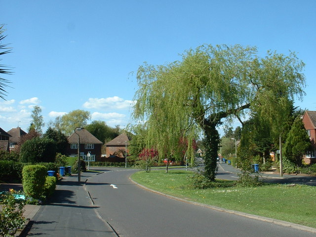
Bickley Moor is a picturesque woodland located in Hampshire, England. Nestled in the heart of the county, this forest is a haven for nature lovers and outdoor enthusiasts.

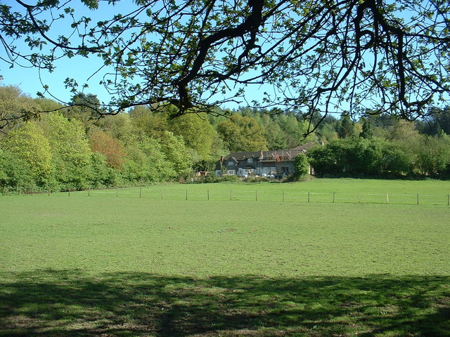
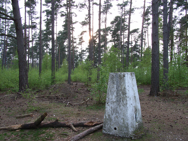
Covering an area of approximately 100 acres, Bickley Moor is known for its diverse range of trees and wildlife. The forest is predominantly made up of oak, beech, and birch trees, creating a rich and vibrant canopy that changes with the seasons. The forest floor is carpeted with an array of wildflowers and ferns, adding to the natural beauty of the area.

Bickley Moor is home to a variety of wildlife, making it a popular spot for birdwatching and animal spotting. Visitors may come across deer, foxes, rabbits, and a wide range of bird species, including woodpeckers, owls, and various songbirds. The forest provides a safe and peaceful environment for these creatures, allowing visitors to observe them in their natural habitat.

The woodland offers several walking trails, allowing visitors to explore the area at their own pace. These well-maintained paths wind through the forest, offering stunning views and opportunities for peaceful contemplation. Additionally, Bickley Moor is home to a number of picnic areas, making it a perfect spot for a family day out or a relaxing lunch surrounded by nature.

Bickley Moor is a true gem in the Hampshire countryside, offering a tranquil and serene escape from the hustle and bustle of everyday life. Whether you are a nature lover, a hiker, or simply seeking a peaceful retreat, this woodland is sure to captivate and delight.

If you have any feedback on the listing, please let us know in the comments section below.
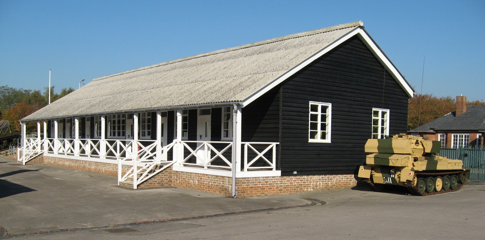
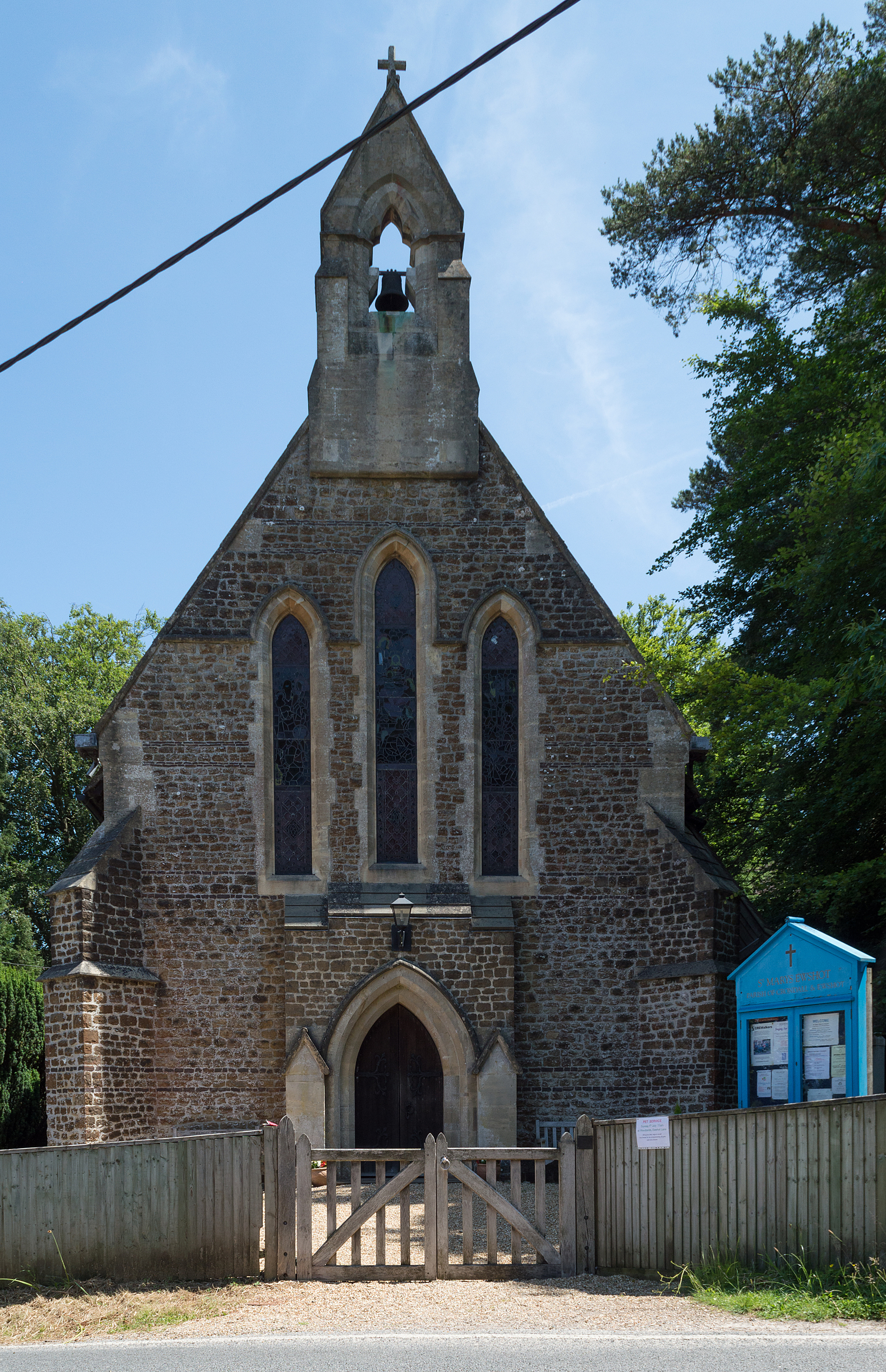
Bickley Moor Images

Images are sourced within 2km of 51.257323/-0.81532788 or Grid Reference SU8251. Thanks to Geograph Open Source API. All images are credited.

Tweseldown Looking northeast across Tweseldown Race Course towards Farnborough Aerodrome.
Tweseldown
Looking northeast across Tweseldown Race Course towards Farnborough Aerodrome.
Farnborough Looking northeast from Mill Hill with the MoD radio station in the distance. This square is partial woodland and the rest is part of Farnborough aerodrome - various government and private buildings.
Farnborough
Looking northeast from Mill Hill with the MoD radio station in the distance. This square is partial woodland and the rest is part of Farnborough aerodrome - various government and private buildings.
Long Valley Looking south-southwest from Miles Hill along Long Valley.
Long Valley
Looking south-southwest from Miles Hill along Long Valley.
Basingstoke Canal Looking west along the Basingstoke Canal on the southwest corner of Farnborough aerodrome.
Basingstoke Canal
Looking west along the Basingstoke Canal on the southwest corner of Farnborough aerodrome.
Caesar's Camp Iron Age hill fort. The name, "Caesar's Camp", obviously came later.
Caesar's Camp
Iron Age hill fort. The name, "Caesar's Camp", obviously came later.
Camping Ground near Tweseldown This seems to be MOD land - I assume that the term "Camping Ground" on the map refers to Army activities on this site. It's just a field in the woods.
Camping Ground near Tweseldown
This seems to be MOD land - I assume that the term "Camping Ground" on the map refers to Army activities on this site. It's just a field in the woods.
Tweseldown Racecourse Buildings
Basingstoke Canal at Pondtail Taken on a fresh winter's morning looking east
Basingstoke Canal at Pondtail
Taken on a fresh winter's morning looking east
Grassy ride, Aunt's Pool Hill In the middle of the Aldershot pine forest.
Grassy ride, Aunt's Pool Hill
In the middle of the Aldershot pine forest.
Supply stop, Church Crookham On the B3013.
Supply stop, Church Crookham
On the B3013.
Urban Church Crookham Attractive trees, unattractive recycling bins.
Urban Church Crookham
Attractive trees, unattractive recycling bins.
Ewshot cottages Taken from the Ewshot Recreation Ground.
Ewshot cottages
Taken from the Ewshot Recreation Ground.
Beacon Hill, Ewshot The B3013 is hidden from view, running just left of the house.
Beacon Hill, Ewshot
The B3013 is hidden from view, running just left of the house.
Triangulation pillar, Beacon Hill Altitude 177 metres.
Triangulation pillar, Beacon Hill
Altitude 177 metres.
Track, Beacon Hill The track descends steeply parallel to the B3013.
Track, Beacon Hill
The track descends steeply parallel to the B3013.
Bridges over the Canal Box bridge and bailey bridge giving access to the south west corner of Farnborough Airport.
Bridges over the Canal
Box bridge and bailey bridge giving access to the south west corner of Farnborough Airport.
Tweseldown Racecourse Control Tower Used for commentary at point to point racing at this lovely old racecourse.
Tweseldown Racecourse Control Tower
Used for commentary at point to point racing at this lovely old racecourse.
Eelmoor Bridge, Basingstoke Canal The bridge is similar in construction to Claycart Bridge, the next one to the east.  It carries a minor motor road.
Eelmoor Bridge, Basingstoke Canal
The bridge is similar in construction to Claycart Bridge, the next one to the east. It carries a minor motor road.
Show me another place!

Bickley Moor is located at Grid Ref: SU8251 (Lat: 51.257323, Lng: -0.81532788)

Administrative County: Hampshire

District: Hart

Police Authority: Hampshire

What 3 Words

///presumes.bridge.clubs. Near Fleet, Hampshire

Related Wikis

Tweseldown Racecourse

Tweseldown Racecourse southeast of Fleet, Hampshire was originally a National Hunt steeplechasing venue and the home of the equestrian dressage and eventing...

Bourley and Long Valley

Bourley and Long Valley is a 823.5-hectare (2,035-acre) biological Site of Special Scientific Interest between Fleet and Aldershot in Hampshire. It is...

Queen Elizabeth Barracks, Church Crookham

Queen Elizabeth Barracks was a military installation at Church Crookham, Hampshire, England. == History == The barracks, which were originally known as...

Caesar's Camp, Rushmoor and Waverley

Caesar's Camp is an Iron Age hill fort straddling the border of the counties of Surrey and Hampshire in southern England. The fort straddles the borough...

Church Crookham

Church Crookham is a large suburban village and civil parish, contiguous with the town of Fleet, in northeast Hampshire, England. It is 38 miles (61 km...

Eelmoor Marsh

Eelmoor Marsh is a 66.3-hectare (164-acre) biological Site of Special Scientific Interest between Fleet and Farnborough in Hampshire. It is part of Thames...

Royal Pavilion, Aldershot

The Royal Pavilion, also known as the Queen's Pavilion, was a royal residence located at Aldershot in Hampshire. The most unpretentious of all royal residences...

Ewshot

Ewshot is a village and civil parish in Hampshire, England. It lies in the north east of the county, close to the Surrey border. The name Ewshot comes...

Nearby Amenities

Located within 500m of 51.257323,-0.81532788
Tweseldown Hill
Natural: peak
Source: npe
Lat/Long: 51.2595336/-0.818468
Material: wood
Power: pole
Lat/Long: 51.2553585/-0.8211315
Material: wood
Power: pole
Lat/Long: 51.2544302/-0.8206219
Material: wood
Power: pole
Lat/Long: 51.2544218/-0.8206996
The data included in this document is from www.openstreetmap.org. The data is made available under ODbL.

Have you been to Bickley Moor?

Leave your review of Bickley Moor below (or comments, questions and feedback).