Bickley Oaks
Wood, Forest in Hampshire Hart
England
Bickley Oaks

Bickley Oaks is a picturesque woodland located in the county of Hampshire, England. Situated in the heart of the South Downs National Park, this enchanting forest covers an area of approximately 50 hectares and is known for its diverse range of oak trees.
The woodland is characterized by its dense canopy of ancient oaks, which provide a serene and tranquil environment for visitors. These majestic trees, some of which are several centuries old, stand tall and proud, creating a sense of awe and wonder. The forest floor is carpeted with a rich layer of mosses, ferns, and wildflowers, offering a stunning display of colors throughout the year.
Bickley Oaks is not only a haven for nature enthusiasts but also a thriving ecosystem that supports a variety of wildlife. The forest is home to numerous species of birds, including woodpeckers, owls, and warblers, which can be heard singing their melodious songs as you explore the woodland trails. Squirrels can be seen darting through the branches, while rabbits and deer occasionally make an appearance, adding to the charm of this natural sanctuary.
Visitors to Bickley Oaks can enjoy a range of activities, from leisurely walks and picnics to more adventurous pursuits like mountain biking and horseback riding. The forest is crisscrossed by well-maintained pathways, allowing visitors to explore the woodland at their own pace. Additionally, there are designated picnic areas and benches scattered throughout the forest, offering the perfect spots to relax and soak in the beauty of the surroundings.
Bickley Oaks truly embodies the timeless beauty and tranquility of Hampshire's woodlands, making it a must-visit destination for nature lovers and those seeking a peaceful escape from the bustling city life.
If you have any feedback on the listing, please let us know in the comments section below.
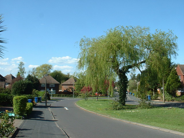
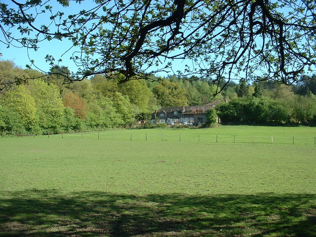
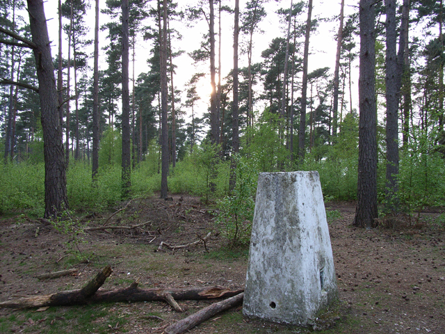
Bickley Oaks Images
Images are sourced within 2km of 51.259477/-0.81227723 or Grid Reference SU8251. Thanks to Geograph Open Source API. All images are credited.


Bickley Oaks is located at Grid Ref: SU8251 (Lat: 51.259477, Lng: -0.81227723)
Administrative County: Hampshire
District: Hart
Police Authority: Hampshire
What 3 Words
///cleanest.hoping.cherish. Near Fleet, Hampshire
Nearby Locations
Related Wikis
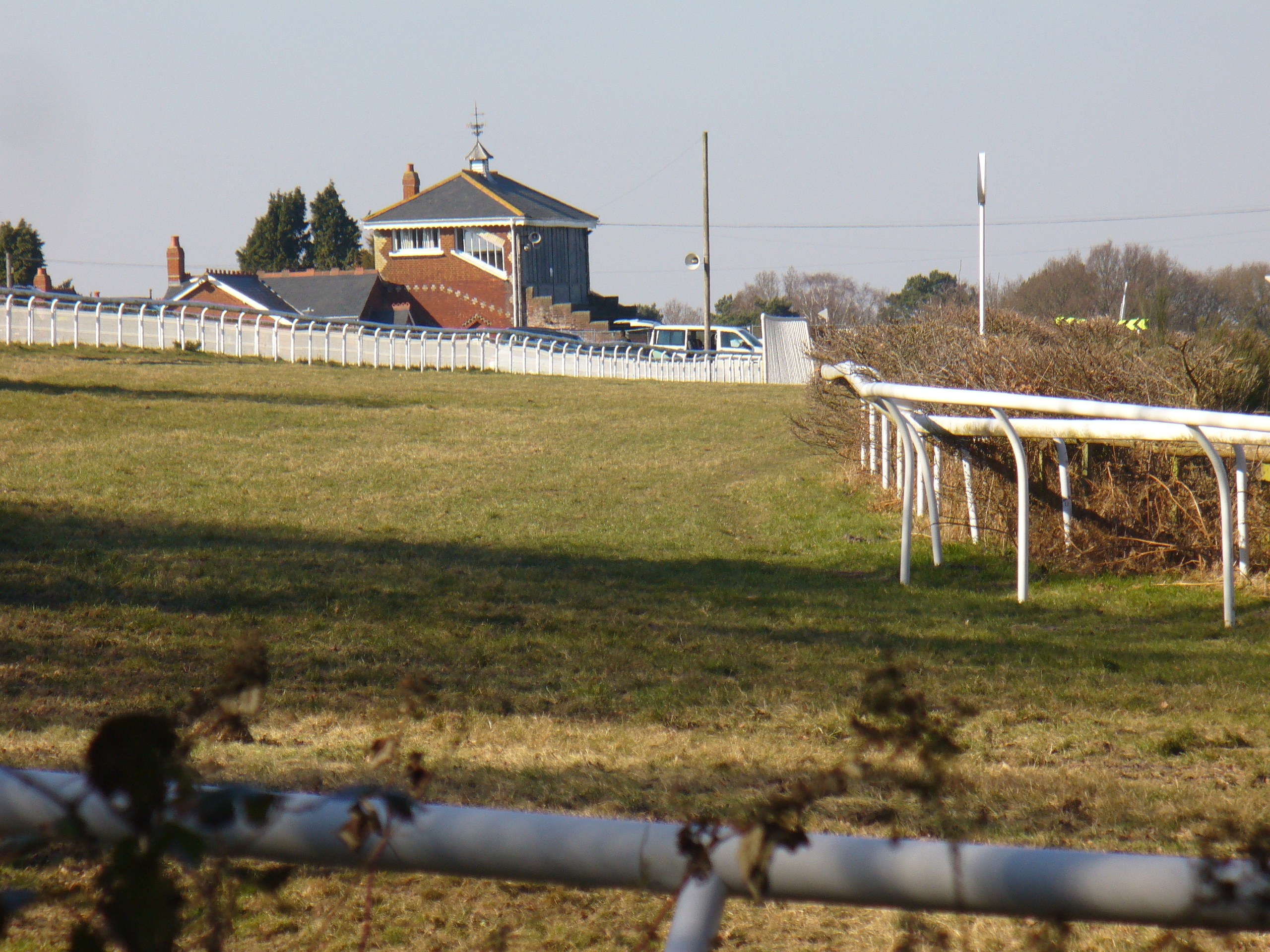
Tweseldown Racecourse
Tweseldown Racecourse southeast of Fleet, Hampshire was originally a National Hunt steeplechasing venue and the home of the equestrian dressage and eventing...

Bourley and Long Valley
Bourley and Long Valley is a 823.5-hectare (2,035-acre) biological Site of Special Scientific Interest between Fleet and Aldershot in Hampshire. It is...
Queen Elizabeth Barracks, Church Crookham
Queen Elizabeth Barracks was a military installation at Church Crookham, Hampshire, England. == History == The barracks, which were originally known as...

Caesar's Camp, Rushmoor and Waverley
Caesar's Camp is an Iron Age hill fort straddling the border of the counties of Surrey and Hampshire in southern England. The fort straddles the borough...

Eelmoor Marsh
Eelmoor Marsh is a 66.3-hectare (164-acre) biological Site of Special Scientific Interest between Fleet and Farnborough in Hampshire. It is part of Thames...

Church Crookham
Church Crookham is a large suburban village and civil parish, contiguous with the town of Fleet, in northeast Hampshire, England. It is 38 miles (61 km...

Royal Pavilion, Aldershot
The Royal Pavilion, also known as the Queen's Pavilion, was a royal residence located at Aldershot in Hampshire. The most unpretentious of all royal residences...
Rushmoor Arena
Rushmoor Arena is an outdoor arena in Aldershot. It is a secure area of 28 Hectares (68 acres) surrounded by a security fence which is mainly hidden by...
Nearby Amenities
Located within 500m of 51.259477,-0.81227723Have you been to Bickley Oaks?
Leave your review of Bickley Oaks below (or comments, questions and feedback).