Bickley Copse
Wood, Forest in Hampshire Hart
England
Bickley Copse

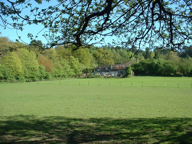
Bickley Copse is a picturesque woodland located in Hampshire, England. Covering an area of approximately 50 acres, it is a popular destination for nature enthusiasts and outdoor lovers. The copse is situated near the village of Bickley, offering visitors a peaceful and serene environment to explore.
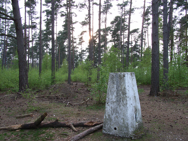
The wood is primarily composed of broadleaf trees, including oak, beech, and ash, which create a vibrant and diverse ecosystem. These trees provide a rich habitat for a variety of wildlife, such as birds, squirrels, and deer, making it an ideal location for birdwatching and animal spotting.
Bickley Copse is crisscrossed with a network of well-maintained footpaths, allowing visitors to traverse the wood and explore its hidden corners. The paths wind through dense undergrowth, revealing glimpses of wildflowers and ferns that carpet the forest floor.
In addition to its natural beauty, Bickley Copse also holds historical significance. The wood is believed to have been part of an ancient woodland that has existed for hundreds of years, providing a link to the area's past. Remnants of old stone walls and boundary markers can still be found within the copse, serving as a reminder of its historical importance.
Whether one wishes to take a leisurely stroll, enjoy a picnic amidst nature, or simply escape the hustle and bustle of everyday life, Bickley Copse offers a tranquil and idyllic setting for all to enjoy. With its stunning scenery and abundant wildlife, it is no wonder that Bickley Copse continues to be a cherished natural gem in Hampshire.
If you have any feedback on the listing, please let us know in the comments section below.
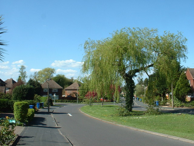
Bickley Copse Images
Images are sourced within 2km of 51.254869/-0.81719652 or Grid Reference SU8251. Thanks to Geograph Open Source API. All images are credited.


Bickley Copse is located at Grid Ref: SU8251 (Lat: 51.254869, Lng: -0.81719652)
Administrative County: Hampshire
District: Hart
Police Authority: Hampshire
What 3 Words
///fuels.mentioned.simulations. Near Fleet, Hampshire
Nearby Locations
Related Wikis
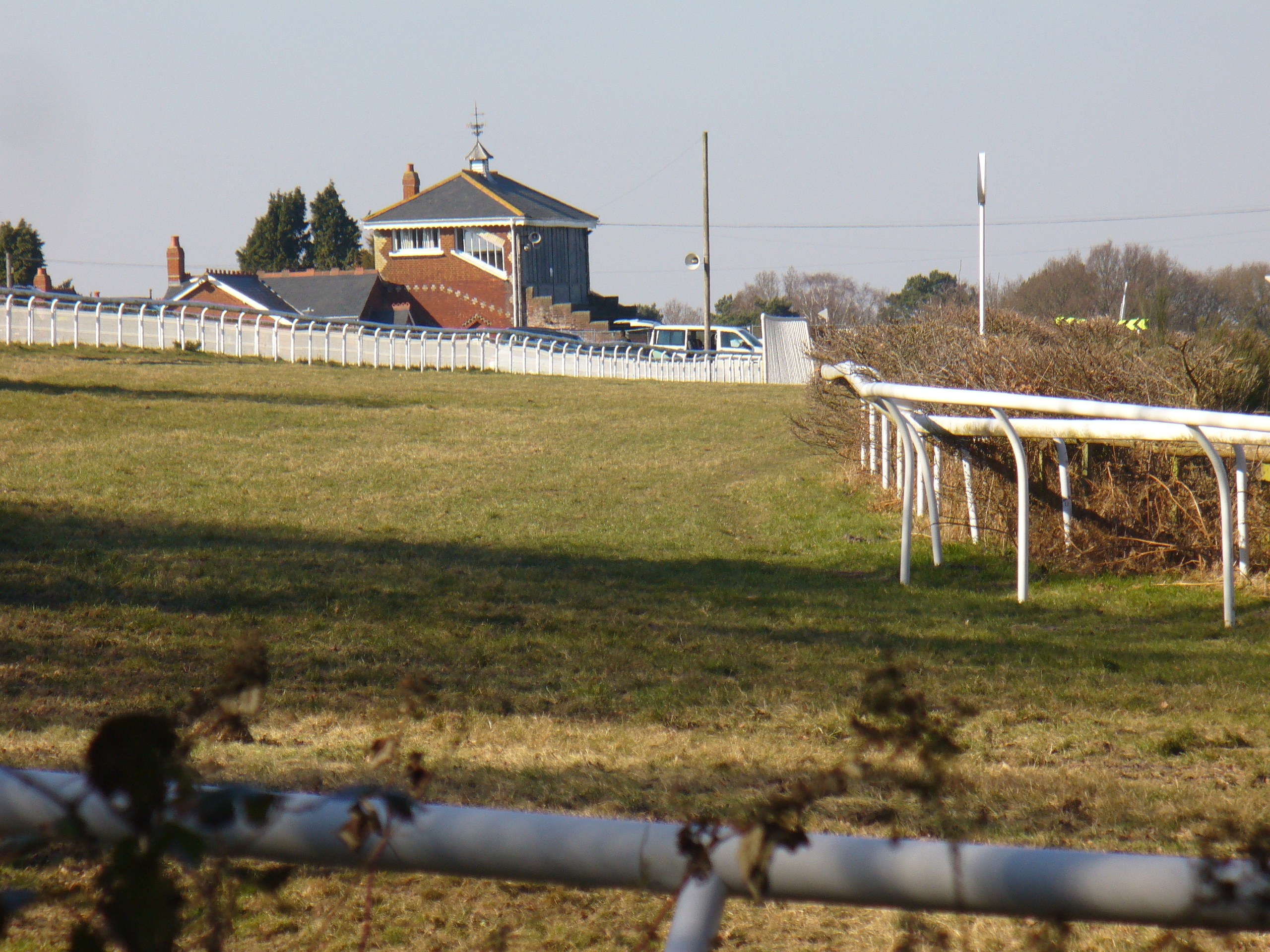
Tweseldown Racecourse
Tweseldown Racecourse southeast of Fleet, Hampshire was originally a National Hunt steeplechasing venue and the home of the equestrian dressage and eventing...

Bourley and Long Valley
Bourley and Long Valley is a 823.5-hectare (2,035-acre) biological Site of Special Scientific Interest between Fleet and Aldershot in Hampshire. It is...
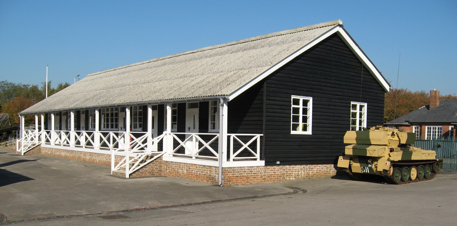
Queen Elizabeth Barracks, Church Crookham
Queen Elizabeth Barracks was a military installation at Church Crookham, Hampshire, England. == History == The barracks, which were originally known as...

Caesar's Camp, Rushmoor and Waverley
Caesar's Camp is an Iron Age hill fort straddling the border of the counties of Surrey and Hampshire in southern England. The fort straddles the borough...

Church Crookham
Church Crookham is a large suburban village and civil parish, contiguous with the town of Fleet, in northeast Hampshire, England. It is 38 miles (61 km...
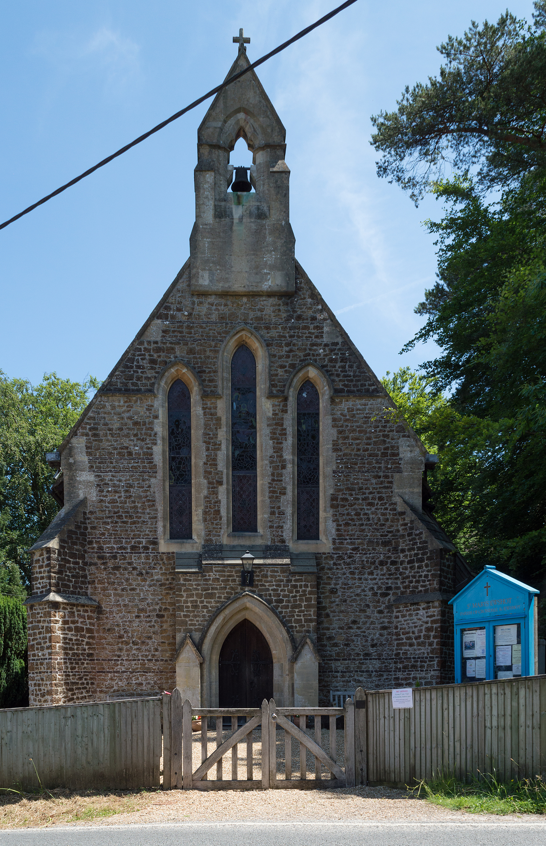
Ewshot
Ewshot is a village and civil parish in Hampshire, England. It lies in the north east of the county, close to the Surrey border. The name Ewshot comes...

Royal Pavilion, Aldershot
The Royal Pavilion, also known as the Queen's Pavilion, was a royal residence located at Aldershot in Hampshire. The most unpretentious of all royal residences...

Upper Hale Cemetery, Farnham
Upper Hale Cemetery (also known as Hale Cemetery) is the burial ground for the district of Hale in Farnham in Surrey. Hale grew rapidly after 1854 when...
Nearby Amenities
Located within 500m of 51.254869,-0.81719652Have you been to Bickley Copse?
Leave your review of Bickley Copse below (or comments, questions and feedback).