Rock Field Firs

Wood, Forest in Sussex Chichester

England

Rock Field Firs

Inner Wall, Tuxlith Chapel This image shows the inner face of the west wall of the part of the chapel which was an extension to the original building. My grandparents and many other ancestors are interred around the chapel.
Inner Wall, Tuxlith Chapel Credit: Paul Collins

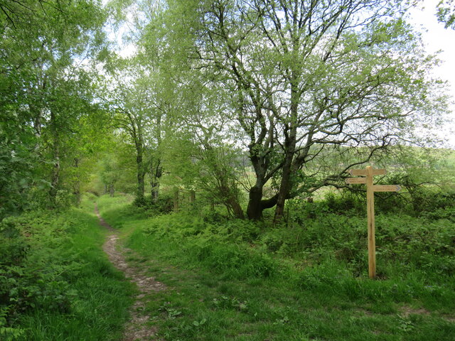
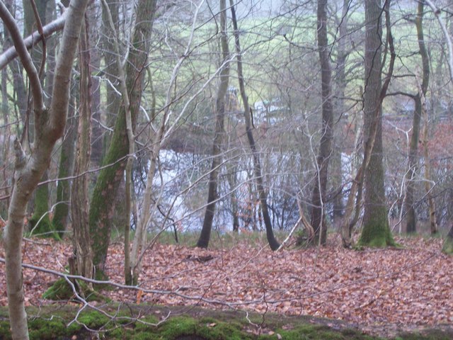
Rock Field Firs is a picturesque woodland located in the county of Sussex, England. Spanning an area of approximately 50 acres, it is renowned for its pristine beauty and diverse flora and fauna. The woodland primarily consists of evergreen conifer trees, predominantly firs, hence its name.

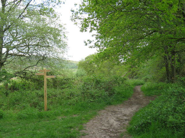
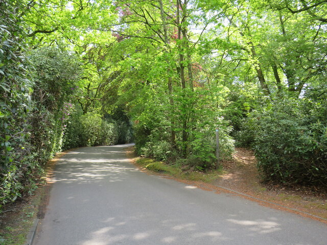
Situated on the outskirts of a small village, Rock Field Firs offers a tranquil escape from the hustle and bustle of urban life. The dense canopy of trees provides a shaded and peaceful environment, making it an ideal spot for leisurely walks and nature enthusiasts. The woodland boasts a well-maintained network of trails that wind through the forest, allowing visitors to explore its natural wonders at their own pace.

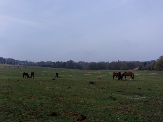
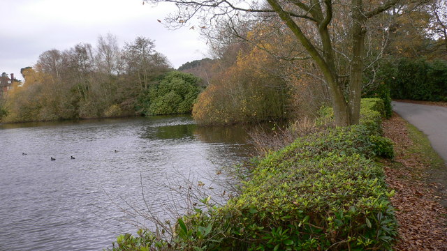
The woodland is home to a wide range of wildlife, including various species of birds, mammals, and insects. Birdwatchers can spot woodland birds such as the great spotted woodpecker and the tawny owl, while lucky visitors may even catch a glimpse of the elusive red deer that roam the area.

Rock Field Firs also holds significant geological importance, with exposed rock formations dating back millions of years. Geologists and nature enthusiasts alike are drawn to the area to study its unique geological features and uncover the secrets of its ancient past.

Overall, Rock Field Firs is a captivating woodland that offers visitors a chance to immerse themselves in nature's beauty. Its serene atmosphere, enchanting trails, and diverse wildlife make it a must-visit destination for anyone seeking solace and a deeper connection with the natural world.

If you have any feedback on the listing, please let us know in the comments section below.

Rock Field Firs Images

Images are sourced within 2km of 51.046792/-0.82863743 or Grid Reference SU8228. Thanks to Geograph Open Source API. All images are credited.

Inner Wall, Tuxlith Chapel This image shows the inner face of the west wall of the part of the chapel which was an extension to the original building. My grandparents and many other ancestors are interred around the chapel.
Inner Wall, Tuxlith Chapel
This image shows the inner face of the west wall of the part of the chapel which was an extension to the original building. My grandparents and many other ancestors are interred around the chapel.
Tuxlith Chapel This ancient and redundant chapel has recently been re-roofed. Two of my grandparents and many other ancestors lie in the churchyard.
Tuxlith Chapel
This ancient and redundant chapel has recently been re-roofed. Two of my grandparents and many other ancestors lie in the churchyard.
Vehicles behind a cyclist on the B2070
Cyclist on the B2070
Horses at Coldharbour Park Farm This year there have been 62,499 photos added to Geograph, of which 414 (0.66%) are mine
Horses at Coldharbour Park Farm
This year there have been 62,499 photos added to Geograph, of which 414 (0.66%) are mine
Langley Farm Road, near Liss Langley Farm Road is a minor lane through countryside in the South Downs National Park.  It is on route 22 of the National Cycle Network and also on the route of the Sussex Border Path.
Langley Farm Road, near Liss
Langley Farm Road is a minor lane through countryside in the South Downs National Park. It is on route 22 of the National Cycle Network and also on the route of the Sussex Border Path.
Minor country lane near Liss A narrow lane in the South Downs National Park.  The blue sign indicates that the lane is a "no through road".

National Cycle Network route 22 passes along this lane, which is also on the route of the Sussex Border Path.
Minor country lane near Liss
A narrow lane in the South Downs National Park. The blue sign indicates that the lane is a "no through road". National Cycle Network route 22 passes along this lane, which is also on the route of the Sussex Border Path.
Bridge over a railway near Liss A bridge carrying a minor lane across a railway line in the South Downs National Park.  The lane is on route 22 of the National Cycle Network and also on the route of the Sussex Border Path.
Bridge over a railway near Liss
A bridge carrying a minor lane across a railway line in the South Downs National Park. The lane is on route 22 of the National Cycle Network and also on the route of the Sussex Border Path.
Railway line near Liss A Class 450 electric multiple unit train crossing the county boundary from Hampshire into West Sussex near Liss, in the South Downs National Park.  The railway is the Portsmouth Direct Line linking Portsmouth with Guildford and London (Waterloo).  It is electrified using the third rail system.
Railway line near Liss
A Class 450 electric multiple unit train crossing the county boundary from Hampshire into West Sussex near Liss, in the South Downs National Park. The railway is the Portsmouth Direct Line linking Portsmouth with Guildford and London (Waterloo). It is electrified using the third rail system.
Private driveway near Liss A private driveway leading to a house in the South Downs National Park.  A public bridleway heads off to the left, part of the route of the Sussex Border Path.
Private driveway near Liss
A private driveway leading to a house in the South Downs National Park. A public bridleway heads off to the left, part of the route of the Sussex Border Path.
Public bridleway near Liss A public bridleway in the South Downs National Park.  Here, the bridleway reaches the end of an access track to some houses, and follows a narrower path into the woodland.  This path forms part of the route of the Sussex Border Path.
Public bridleway near Liss
A public bridleway in the South Downs National Park. Here, the bridleway reaches the end of an access track to some houses, and follows a narrower path into the woodland. This path forms part of the route of the Sussex Border Path.
Bridleways in the South Downs National Park, near Liss A junction of public bridleways in the South Downs National Park.  The Sussex Border Path branches off to the right.
Bridleways in the South Downs National Park, near Liss
A junction of public bridleways in the South Downs National Park. The Sussex Border Path branches off to the right.
Public bridleway near Liss A public bridleway in the South Downs National Park.
Public bridleway near Liss
A public bridleway in the South Downs National Park.
Sussex Border Path near Liss A junction with other bridleways on the Sussex Border Path in the South Downs National Park, near Liss
Sussex Border Path near Liss
A junction with other bridleways on the Sussex Border Path in the South Downs National Park, near Liss
Driveway and path near Liphook A driveway providing access to a house in the South Downs National Park.  The path leading into the woodland to the right is a public bridleway which forms part of the route of the Sussex Border Path.
Driveway and path near Liphook
A driveway providing access to a house in the South Downs National Park. The path leading into the woodland to the right is a public bridleway which forms part of the route of the Sussex Border Path.
Driveway and public bridleway near Liphook A driveway in the grounds of a hotel in the South Downs National Park.  Leading off to the right is a public bridleway.
Driveway and public bridleway near Liphook
A driveway in the grounds of a hotel in the South Downs National Park. Leading off to the right is a public bridleway.
Forest Mere hotel driveway, near Liphook A driveway leading to the Forest Mere luxury hotel and spa in the South Downs National Park.
Forest Mere hotel driveway, near Liphook
A driveway leading to the Forest Mere luxury hotel and spa in the South Downs National Park.
Railway line and substation near Liphook A view of the Portsmouth Direct Line as it passes through the South Downs National Park.  The railway is electrified using the third rail system.

The building alongside the line is an electricity substation.  This distributes electricity to the third rail providing the power which drives the trains.  The short platform here is for staff to access the substation from a train.  There has never been a railway station here.
Railway line and substation near Liphook
A view of the Portsmouth Direct Line as it passes through the South Downs National Park. The railway is electrified using the third rail system. The building alongside the line is an electricity substation. This distributes electricity to the third rail providing the power which drives the trains. The short platform here is for staff to access the substation from a train. There has never been a railway station here.
Show me another place!

Rock Field Firs is located at Grid Ref: SU8228 (Lat: 51.046792, Lng: -0.82863743)

Administrative County: West Sussex

District: Chichester

Police Authority: Sussex

What 3 Words

///armrests.records.postage. Near Liphook, Hampshire

Related Wikis

Nearby Amenities

Located within 500m of 51.046792,-0.82863743
Crossing
Lat/Long: 51.0470442/-0.8306317
Crossing
Lat/Long: 51.0471455/-0.8307334
The data included in this document is from www.openstreetmap.org. The data is made available under ODbL.

Have you been to Rock Field Firs?

Leave your review of Rock Field Firs below (or comments, questions and feedback).