Aquarius Wood

Wood, Forest in Lincolnshire South Kesteven

England

Aquarius Wood

Farm track near Normanton
Farm track near Normanton Credit: Jonathan Thacker

Aquarius Wood is a picturesque forest located in Lincolnshire, England. It spans an area of approximately 200 acres and is renowned for its natural beauty and diverse wildlife. The wood is managed by the Aquarius Wood Trust, a local conservation organization dedicated to preserving and enhancing the forest's ecosystem.

The wood features a variety of tree species, including oak, beech, and birch, which create a dense and enchanting canopy. The forest floor is covered with a thick layer of leaf litter, providing a habitat for numerous small mammals, insects, and fungi. Visitors to Aquarius Wood can expect to encounter a rich assortment of bird species, such as woodpeckers, owls, and thrushes, as well as elusive creatures like badgers and foxes.

There are several well-maintained trails that wind through the wood, allowing visitors to explore its natural wonders at their own pace. These pathways offer breathtaking views of the surrounding landscape and are perfect for leisurely walks, hiking, or birdwatching. The wood also boasts a small picnic area, providing a tranquil spot for visitors to relax and enjoy the peaceful ambiance.

Aquarius Wood is not only a haven for nature enthusiasts but also serves as an important educational resource. The Aquarius Wood Trust organizes various workshops and guided tours, aimed at promoting environmental awareness and conservation. These activities provide visitors, especially children, with a unique opportunity to learn about the forest's ecosystem and the importance of sustainable practices.

Overall, Aquarius Wood is a treasured natural gem in Lincolnshire, offering a sanctuary for wildlife, a place of relaxation for visitors, and a center for environmental education and conservation.

If you have any feedback on the listing, please let us know in the comments section below.

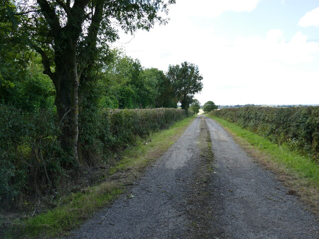
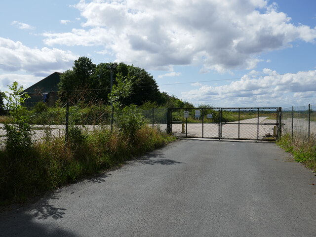
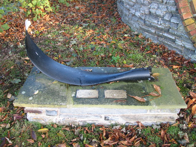
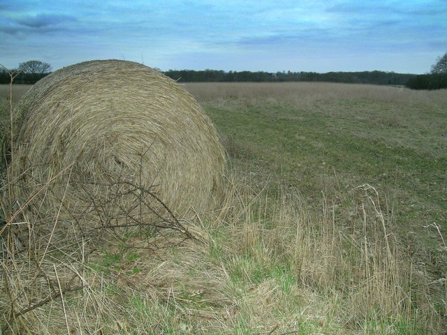
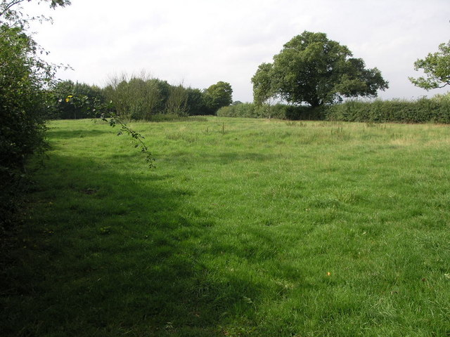
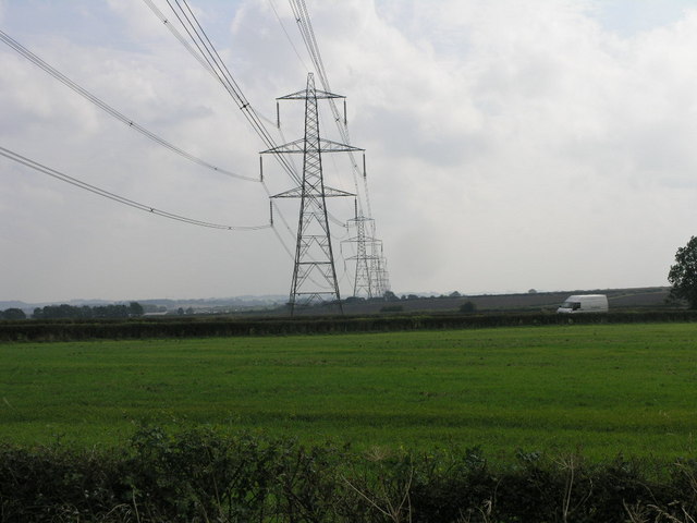
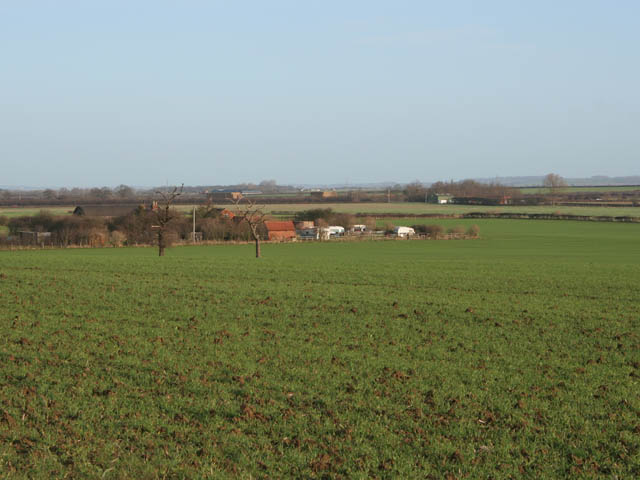
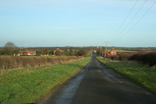
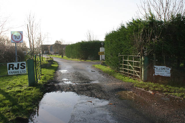
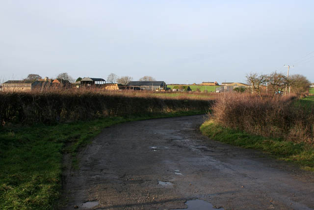
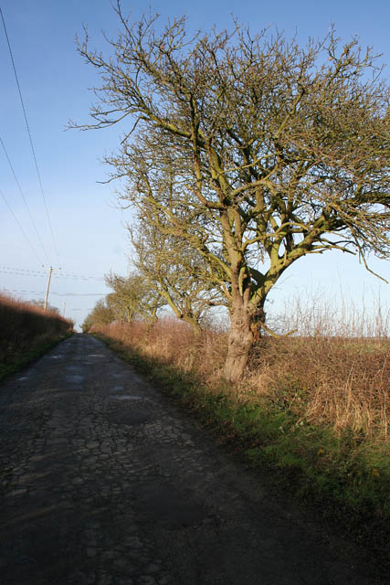
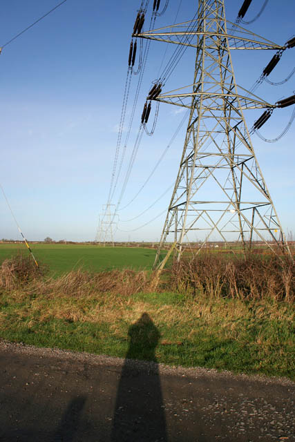
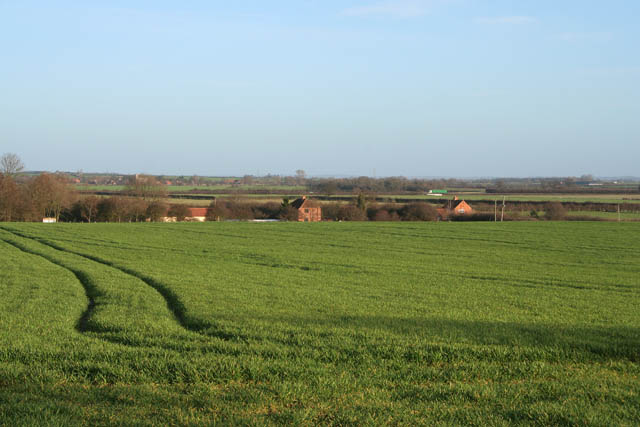
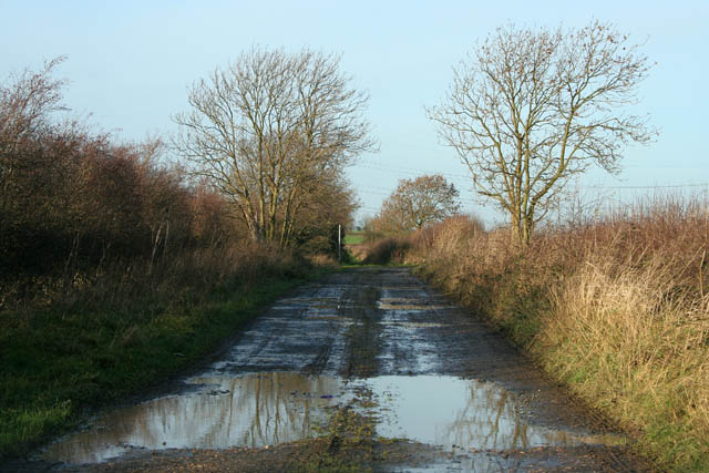
Aquarius Wood Images

Images are sourced within 2km of 52.971484/-0.77729781 or Grid Reference SK8242. Thanks to Geograph Open Source API. All images are credited.

Farm track near Normanton
Entrance to Power Minerals depot
Saint Mary's, Staunton <span class="nowrap"><a title="http://www.nottshistory.org.uk/articles/staunton/staunton1900p2.htm" rel="nofollow ugc noopener" href="http://www.nottshistory.org.uk/articles/staunton/staunton1900p2.htm">Link</a><img style="margin-left:2px;" alt="External link" title="External link - shift click to open in new window" src="https://s1.geograph.org.uk/img/external.png" width="10" height="10"/></span>
Saint Mary's, Staunton
Lancaster Bomber Memorial, Staunton Churchyard Memorial to commemorate the lives of the crew of Lancaster bomber W4270
Lancaster Bomber Memorial, Staunton Churchyard
Memorial to commemorate the lives of the crew of Lancaster bomber W4270
Lonely Hay Bale This bale seems to have been forgotten with the field behind showing just stubble and weeds.
Lonely Hay Bale
This bale seems to have been forgotten with the field behind showing just stubble and weeds.
Drilling for Oil? Schlumberger have a small site at the back of "Three Shire Oak" woods although what they are drilling for who knows?
Drilling for Oil?
Schlumberger have a small site at the back of "Three Shire Oak" woods although what they are drilling for who knows?
Kilvington Church The rolling fields lead the eye to the trees at Rookery and Waterloo Plantation, which appear to have parted to give a distant glimpse of Kilvington Church <a href="https://www.geograph.org.uk/gridref/SK801428">SK801428</a> not to be confused with nearby Staunton Church <a href="https://www.geograph.org.uk/gridref/SK805433">SK805433</a>.
Kilvington Church
The rolling fields lead the eye to the trees at Rookery and Waterloo Plantation, which appear to have parted to give a distant glimpse of Kilvington Church SK801428 not to be confused with nearby Staunton Church SK805433.
Normanton Airfield The former RAF Bottesford looking east down the west-east runway.  The runway is now used to store new cars on, the tyres I assume act as a fence.
Normanton Airfield
The former RAF Bottesford looking east down the west-east runway. The runway is now used to store new cars on, the tyres I assume act as a fence.
Nettle Bed Path A footpath runs across this field and passes by the circular nettle bed on its way to Staunton in the Vale.  I would guess the nettle bed is an old pond that has silted up.
Nettle Bed Path
A footpath runs across this field and passes by the circular nettle bed on its way to Staunton in the Vale. I would guess the nettle bed is an old pond that has silted up.
Pylons and Van The pylons carry their cables south across this and many other squares.  The van on the other hand is travelling north towards Long Bennington and the A1.
Pylons and Van
The pylons carry their cables south across this and many other squares. The van on the other hand is travelling north towards Long Bennington and the A1.
Beck Farm, Sewstern Lane near Foston This large farm is just off Sewstern Lane. The barns beyond are on the other side of the A1, the major north-south route up the eastern side of the country.
Beck Farm, Sewstern Lane near Foston
This large farm is just off Sewstern Lane. The barns beyond are on the other side of the A1, the major north-south route up the eastern side of the country.
Sewstern Lane near Foston Looking towards the A1 from the south-western edge of the featured square. The church in the distance is <a href="https://www.geograph.org.uk/photo/70492">SK8443 : St.Swithun's church, Long Bennington, Lincs.</a>. Sewstern Lane is an ancient cattle drove rode which crosses the Lincolnshire and Leicestershire countryside alternately as a public road and a green road or farm track, see <span class="nowrap"><a title="https://web.archive.org/web/20160403185152/http://www.biffvernon.freeserve.co.uk/Sewstern_Drift.htm" rel="nofollow ugc noopener" href="https://web.archive.org/web/20160403185152/http://www.biffvernon.freeserve.co.uk/Sewstern_Drift.htm">Archive Link</a><img style="margin-left:2px;" alt="External link" title="External link - shift click to open in new window" src="https://s1.geograph.org.uk/img/external.png" width="10" height="10"/></span> for more information. You can find more photographs of this road by doing an advanced search on Sewstern Road, Sewstern Drift and Sewstern Lane on this web site.
Sewstern Lane near Foston
Looking towards the A1 from the south-western edge of the featured square. The church in the distance is SK8443 : St.Swithun's church, Long Bennington, Lincs.. Sewstern Lane is an ancient cattle drove rode which crosses the Lincolnshire and Leicestershire countryside alternately as a public road and a green road or farm track, see Archive LinkExternal link for more information. You can find more photographs of this road by doing an advanced search on Sewstern Road, Sewstern Drift and Sewstern Lane on this web site.
Thackson's Well Farm This farm is on Sewstern Lane, part of the old drove road going from the Newark region to Stamford and beyond. See <span class="nowrap"><a title="https://web.archive.org/web/20160403185152/http://www.biffvernon.freeserve.co.uk/Sewstern_Drift.htm" rel="nofollow ugc noopener" href="https://web.archive.org/web/20160403185152/http://www.biffvernon.freeserve.co.uk/Sewstern_Drift.htm">Archive Link</a><img style="margin-left:2px;" alt="External link" title="External link - shift click to open in new window" src="https://s1.geograph.org.uk/img/external.png" width="10" height="10"/></span> for more information. The Viking Way long distance footpath follows this route for several miles.
Thackson's Well Farm
This farm is on Sewstern Lane, part of the old drove road going from the Newark region to Stamford and beyond. See Archive LinkExternal link for more information. The Viking Way long distance footpath follows this route for several miles.
The Ashes This is a large farm complex on the edge of the old Normanton airfield.
The Ashes
This is a large farm complex on the edge of the old Normanton airfield.
Farm Road to The Ashes
Pylons across farmland This power line brings electricity south from the Cottam Power Station on the River Trent (SK7981) all the way into Hertfordshire.
Pylons across farmland
This power line brings electricity south from the Cottam Power Station on the River Trent (SK7981) all the way into Hertfordshire.
Farmland near Thackson's Well Farm The two buildings to the left and in the centre of the photograph are either side of Sewstern Lane. The building to the right is <a href="https://www.geograph.org.uk/photo/301193">SK8442 : Beck Farm, Sewstern Lane near Foston</a>. You can just make out a green lorry in the distance travelling north along the A1, Great North Road. Long Bennington can be seen in the fardistance to the left.
Farmland near Thackson's Well Farm
The two buildings to the left and in the centre of the photograph are either side of Sewstern Lane. The building to the right is SK8442 : Beck Farm, Sewstern Lane near Foston. You can just make out a green lorry in the distance travelling north along the A1, Great North Road. Long Bennington can be seen in the fardistance to the left.
Cross Lane A rough farm road leading from the road to Roseland Business Park towards Staunton in the Vale. Just round the bend in the centre of the photograph the road turns into a muddy track.
Cross Lane
A rough farm road leading from the road to Roseland Business Park towards Staunton in the Vale. Just round the bend in the centre of the photograph the road turns into a muddy track.
Show me another place!

Aquarius Wood is located at Grid Ref: SK8242 (Lat: 52.971484, Lng: -0.77729781)

Administrative County: Lincolnshire

District: South Kesteven

Police Authority: Lincolnshire

What 3 Words

///mastering.moderated.grudge. Near Long Bennington, Lincolnshire

Related Wikis

Nearby Amenities

Located within 500m of 52.971484,-0.77729781
RAF Bottesford
Disused: yes
Disused Aeroway: aerodrome
End Date: 1948
Old Name: AAF-481
Source: http://en.wikipedia.org/wiki/RAF_Bottesford
Start Date: 1940
Lat/Long: 52.9686343/-0.7806725
Roseland Business Park
Place: locality
Source: Bing
Lat/Long: 52.9679063/-0.7732729
Rowe Farm
Place: farm
Source: Bing
Lat/Long: 52.9702955/-0.7746957
Willow Farm
Place: farm
Source: Bing
Lat/Long: 52.9739071/-0.7834885
The data included in this document is from www.openstreetmap.org. The data is made available under ODbL.

Have you been to Aquarius Wood?

Leave your review of Aquarius Wood below (or comments, questions and feedback).