Normanton Thorns
Wood, Forest in Leicestershire Melton
England
Normanton Thorns
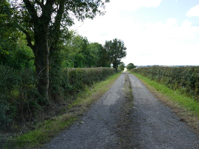
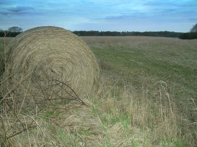
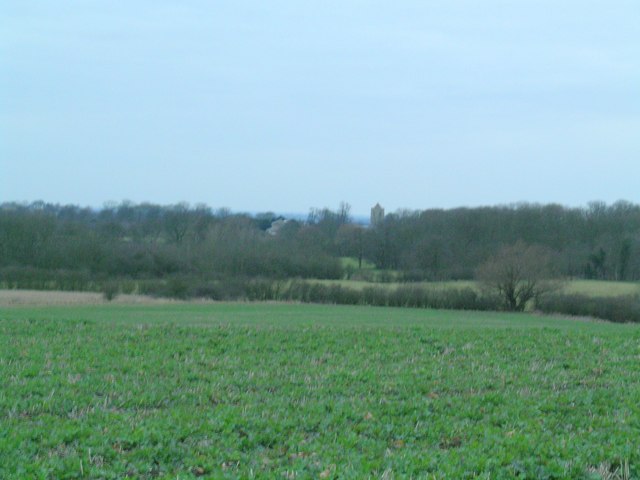
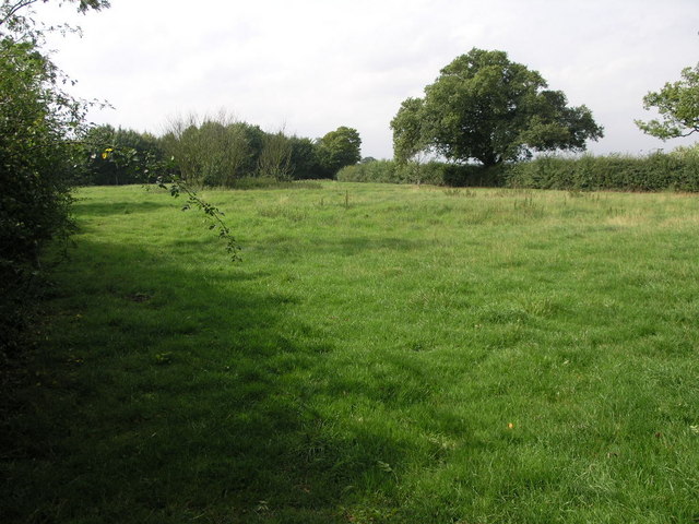
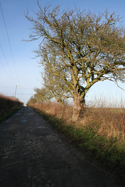
Normanton Thorns is a small village located in Leicestershire, England. Situated in a wooded area, it is known for its picturesque setting amidst the lush greenery of the forest. The village is surrounded by a variety of trees, including oak, beech, and birch, creating a serene and natural atmosphere.
Normanton Thorns is home to a close-knit community, with a population of around 500 residents. The village is known for its friendly and welcoming atmosphere, with residents often participating in community events and activities. The village center comprises a few local shops and amenities, providing convenience to the residents.
The forest surrounding Normanton Thorns offers several opportunities for outdoor activities and leisure pursuits. There are numerous walking trails and cycling paths, allowing residents and visitors to explore the natural beauty of the area. The forest also attracts birdwatchers and nature enthusiasts, as it is home to a diverse range of wildlife, including several species of birds, deer, and foxes.
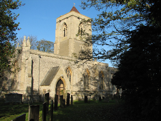
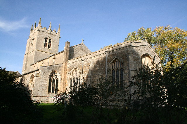
The village has a rich history, with evidence of human habitation dating back to the Roman era. Normanton Thorns is also known for its beautiful Norman church, which stands as a testament to its historical significance. The church, dedicated to St. Mary's, features stunning architecture and is a popular destination for tourists and locals alike.
Overall, Normanton Thorns offers a tranquil and idyllic setting for those seeking a peaceful retreat in the heart of Leicestershire's woodlands.
If you have any feedback on the listing, please let us know in the comments section below.
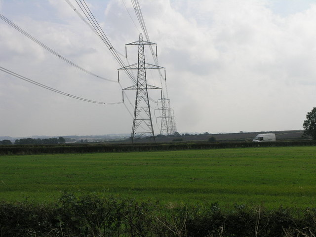
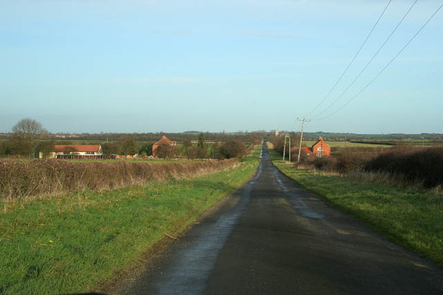
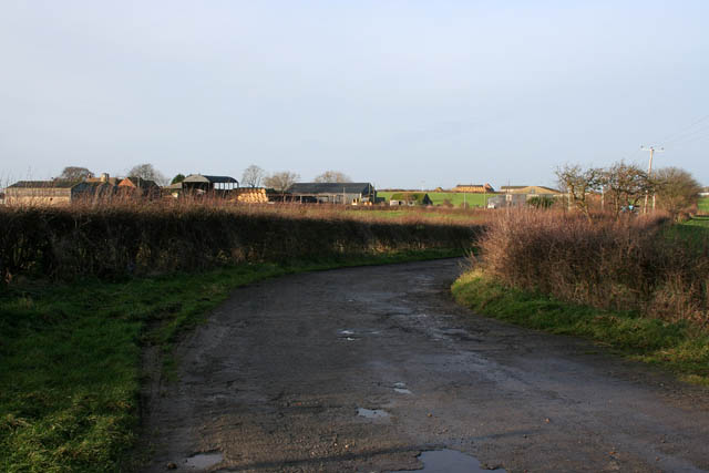
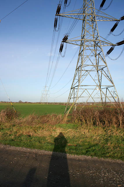
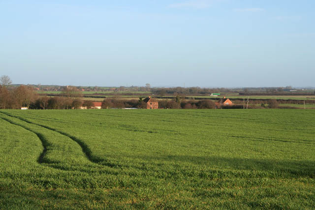
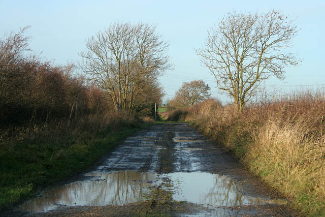
Normanton Thorns Images
Images are sourced within 2km of 52.97571/-0.7782955 or Grid Reference SK8242. Thanks to Geograph Open Source API. All images are credited.


Normanton Thorns is located at Grid Ref: SK8242 (Lat: 52.97571, Lng: -0.7782955)
Administrative County: Leicestershire
District: Melton
Police Authority: Leicestershire
What 3 Words
///start.appointed.ascendant. Near Long Bennington, Lincolnshire
Nearby Locations
Related Wikis
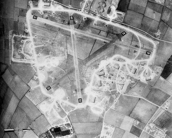
RAF Bottesford
Royal Air Force Bottesford or more simply RAF Bottesford is a former Royal Air Force station located on the Leicestershire-Lincolnshire county border,...

Staunton, Nottinghamshire
Staunton (also known as Staunton-in-the-Vale) is a small village and civil parish in the Newark and Sherwood district of Nottinghamshire, England. It takes...

East Midlands
The East Midlands is one of nine official regions of England at the first level of ITL for statistical purposes. It comprises the eastern half of the area...

Kilvington
Kilvington is a hamlet and civil parish in Nottinghamshire, England, part of the Newark and Sherwood district. Dr Robert Thoroton in Antiquities of Nottinghamshire...
Long Bennington
Long Bennington is a linear village and civil parish in South Kesteven district of Lincolnshire, England, just off the A1 road, 7 miles (11 km) north of...
Long Bennington Priory
Long Bennington Priory was a priory in Lincolnshire, England. The church at Long Bennington was granted by Ralf de Fougères, to the Cistercian abbey of...
Alverton
Alverton can also be a variant of Alverston or Alton.Alverton is an English hamlet in the Newark and Sherwood district of Nottinghamshire. It is joined...

Debdale Meadow, Muston
Debdale Meadow, Muston is a 4.3-hectare (11-acre) biological Site of Special Scientific Interest north of Muston in Leicestershire.This traditionally managed...
Nearby Amenities
Located within 500m of 52.97571,-0.7782955Have you been to Normanton Thorns?
Leave your review of Normanton Thorns below (or comments, questions and feedback).