Ash Hill Plantation

Wood, Forest in Leicestershire Harborough

England

Ash Hill Plantation

Launde Abbey Built on the site of an Augustinian priory, this grand house is now a Christian retreat and conference centre.
Launde Abbey Credit: Neil Theasby

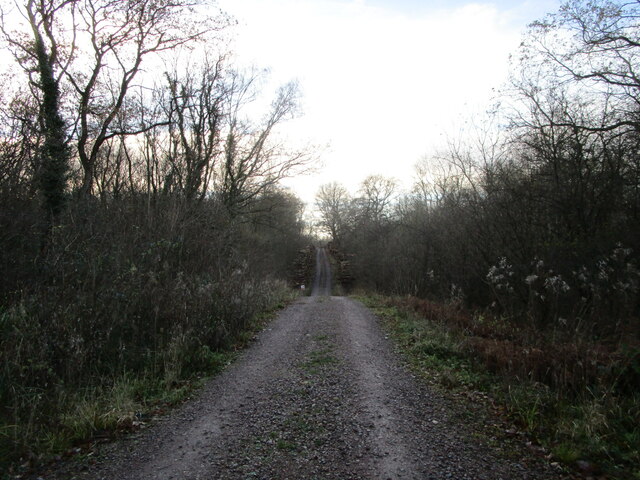
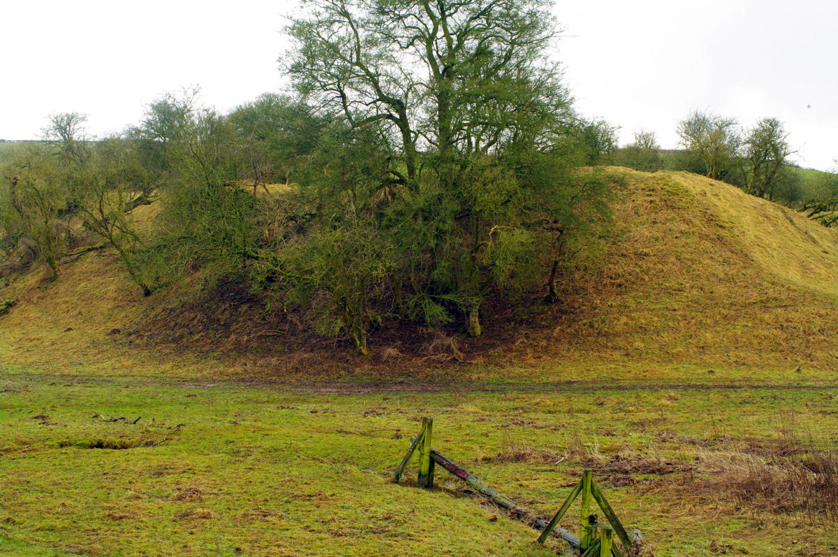
Ash Hill Plantation is a picturesque woodland located in Leicestershire, England. Situated in the heart of the county, it covers an area of approximately 100 acres, making it a substantial and significant woodland in the region. The plantation is known for its dense canopy of mature trees, which creates a serene and tranquil atmosphere.

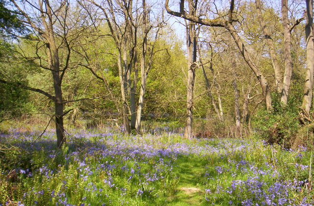
The dominant tree species in Ash Hill Plantation is oak, with many of the trees estimated to be several centuries old. These majestic oaks provide a rich habitat for various flora and fauna, attracting a diverse range of wildlife. The woodland floor is adorned with a carpet of bluebells in the spring, creating a breathtaking spectacle for visitors.

Ash Hill Plantation offers a variety of walking trails, allowing visitors to explore the natural beauty of the woodland. The trails meander through the dense forest, providing glimpses of sunlight filtering through the canopy and illuminating the undergrowth. The plantation offers a peaceful escape from the hustle and bustle of urban life, making it a popular destination for nature enthusiasts, hikers, and photographers.

In addition to its natural beauty, Ash Hill Plantation has a rich historical significance. The woodland has been owned by the same family for generations and has witnessed the passage of time, preserving its ancient charm. The plantation serves as a reminder of the region's historical connection to forestry and land management.

Overall, Ash Hill Plantation is a captivating woodland that offers a harmonious blend of natural beauty and historical significance. It serves as a valuable asset to the local community, providing a sanctuary for wildlife and a tranquil retreat for visitors.

If you have any feedback on the listing, please let us know in the comments section below.

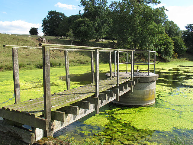
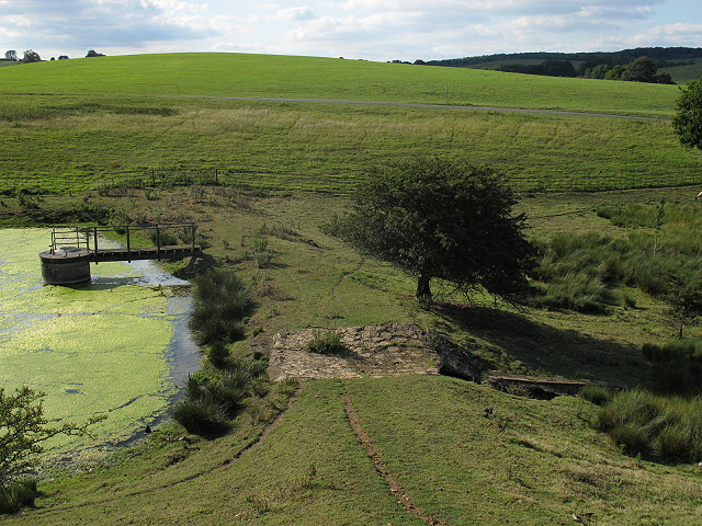
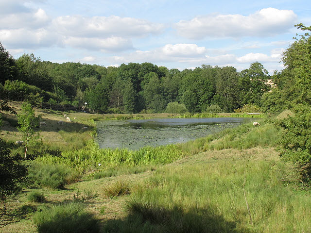
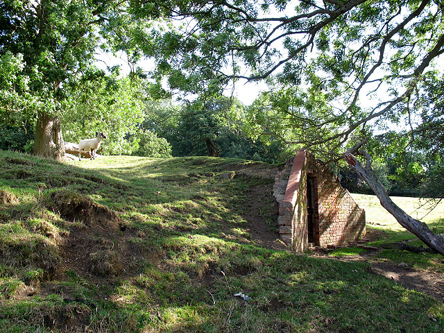
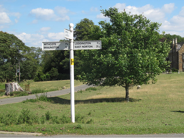
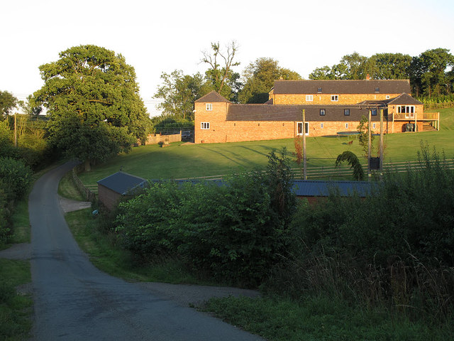
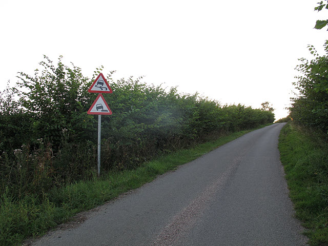
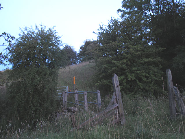
Ash Hill Plantation Images

Images are sourced within 2km of 52.635581/-0.81988699 or Grid Reference SK7904. Thanks to Geograph Open Source API. All images are credited.

Launde Abbey Built on the site of an Augustinian priory, this grand house is now a Christian retreat and conference centre.
Launde Abbey
Built on the site of an Augustinian priory, this grand house is now a Christian retreat and conference centre.
Detail of a sculpture at Launde Abbey Seen in the gardens behind the large country house that was built for Thomas Cromwell during the reign of King Henry VIII. The bronze statue is called "Welcoming Christ". It is 2.5m high and 2.5m wide. In 2019, it replaced an identical statue which dated back to the late 1950s. It was originally created as a bronze resin cast by Tita Maddon (née Dawson).
Detail of a sculpture at Launde Abbey
Seen in the gardens behind the large country house that was built for Thomas Cromwell during the reign of King Henry VIII. The bronze statue is called "Welcoming Christ". It is 2.5m high and 2.5m wide. In 2019, it replaced an identical statue which dated back to the late 1950s. It was originally created as a bronze resin cast by Tita Maddon (née Dawson).
Track in Owston Woods Some felling has gone on here.
Track in Owston Woods
Some felling has gone on here.
Owston Wood Road
Owston Wood Road
Launde Upper Reservoir The highest of a series of three small reservoirs below Launde Abbey.  Apparently they were originally fishponds for the Abbey.  They are now badly affected by algae, probably due to the runoff from the Abbey's septic tank just above the top pond.
Launde Upper Reservoir
The highest of a series of three small reservoirs below Launde Abbey. Apparently they were originally fishponds for the Abbey. They are now badly affected by algae, probably due to the runoff from the Abbey's septic tank just above the top pond.
Launde Upper Reservoir - drawoff A drawoff valve tower and footbridge.  For context, see <a href="https://www.geograph.org.uk/photo/2552269">SK7904 : Launde Upper Reservoir</a>.
Launde Upper Reservoir - drawoff
A drawoff valve tower and footbridge. For context, see SK7904 : Launde Upper Reservoir.
Launde Upper Reservoir - overflow The overflow consists of a stone-surfaced dip in the crest of the earth embankment.  For context, see <a href="https://www.geograph.org.uk/photo/2552269">SK7904 : Launde Upper Reservoir</a>.
Launde Upper Reservoir - overflow
The overflow consists of a stone-surfaced dip in the crest of the earth embankment. For context, see SK7904 : Launde Upper Reservoir.
Launde Middle Reservoir The middle of a series of three small reservoirs below Launde Abbey.  Apparently they were originally fishponds for the Abbey.  They are now badly affected by algae, probably due to the runoff from the Abbey's septic tank just above the top pond.

This view is from the earth embankment of the upper reservoir <a href="https://www.geograph.org.uk/photo/2552285">SK7904 : Launde Upper Reservoir - overflow</a>.
Launde Middle Reservoir
The middle of a series of three small reservoirs below Launde Abbey. Apparently they were originally fishponds for the Abbey. They are now badly affected by algae, probably due to the runoff from the Abbey's septic tank just above the top pond. This view is from the earth embankment of the upper reservoir SK7904 : Launde Upper Reservoir - overflow.
Ice House at Launde Abbey The brick-built ice house is no longer in use, but is situated adjacent to the upper reservoir <a href="https://www.geograph.org.uk/photo/2552269">SK7904 : Launde Upper Reservoir</a> from which ice would have been taken in winter.

It is listed grade 2 (list entry number 1177990).
Ice House at Launde Abbey
The brick-built ice house is no longer in use, but is situated adjacent to the upper reservoir SK7904 : Launde Upper Reservoir from which ice would have been taken in winter. It is listed grade 2 (list entry number 1177990).
Launde Abbey, front The present house is built on the site of a medieval abbey, but is in fact a 17th century manor house with 19th century additions.  It is listed grade 2* (list entry number 1074857).  It is now used as an Anglican retreat centre.

Since the first Geograph was submitted for this square in 2005 <a href="https://www.geograph.org.uk/photo/46027">SK7904 : Launde Abbey, near Loddington, Leicestershire</a>, the house has undergone extensive refurbishment (reopened in January 2011 by the Prince of Wales) with a new entrance and carpark on the south side, so the hardstanding in front of it is now longer used as a car park.  Sheep continue to graze the field in front of the abbey.
Launde Abbey, front
The present house is built on the site of a medieval abbey, but is in fact a 17th century manor house with 19th century additions. It is listed grade 2* (list entry number 1074857). It is now used as an Anglican retreat centre. Since the first Geograph was submitted for this square in 2005 SK7904 : Launde Abbey, near Loddington, Leicestershire, the house has undergone extensive refurbishment (reopened in January 2011 by the Prince of Wales) with a new entrance and carpark on the south side, so the hardstanding in front of it is now longer used as a car park. Sheep continue to graze the field in front of the abbey.
Launde Abbey, front with pond The present house is built on the site of a medieval abbey, but is in fact a 17th century manor house with 19th century additions.  It is listed grade 2* (list entry number 1074857).  It is now used as an Anglican retreat centre.

Since the first Geograph was submitted for this square in 2005 <a href="https://www.geograph.org.uk/photo/46027">SK7904 : Launde Abbey, near Loddington, Leicestershire</a>, the retreat house has undergone extensive refurbishment (reopened in January 2011 by the Prince of Wales) with a new entrance and carpark on the south side, so the hardstanding in front of it is now longer used as a car park.  

This view is shortly before sunset and includes a pond in the middle distance.
Launde Abbey, front with pond
The present house is built on the site of a medieval abbey, but is in fact a 17th century manor house with 19th century additions. It is listed grade 2* (list entry number 1074857). It is now used as an Anglican retreat centre. Since the first Geograph was submitted for this square in 2005 SK7904 : Launde Abbey, near Loddington, Leicestershire, the retreat house has undergone extensive refurbishment (reopened in January 2011 by the Prince of Wales) with a new entrance and carpark on the south side, so the hardstanding in front of it is now longer used as a car park. This view is shortly before sunset and includes a pond in the middle distance.
Launde Abbey, pond A pond adjacent to the public road through the grounds of Launde Abbey retreat house.
Launde Abbey, pond
A pond adjacent to the public road through the grounds of Launde Abbey retreat house.
Cyclists passing Launde Abbey Three cyclists on the public road through the grounds of the retreat house.
Cyclists passing Launde Abbey
Three cyclists on the public road through the grounds of the retreat house.
Signpost outside Launde Abbey The sign points three ways: to Withcote and Brunston (left), Loddington and East Norton (right), and Owston and Halstead (towards the camera).  The road beyond is the private drive to Launde Abbey.
Signpost outside Launde Abbey
The sign points three ways: to Withcote and Brunston (left), Loddington and East Norton (right), and Owston and Halstead (towards the camera). The road beyond is the private drive to Launde Abbey.
Abbey Farm The farm, seen here in evening light, is named after nearby Launde Abbey.
Abbey Farm
The farm, seen here in evening light, is named after nearby Launde Abbey.
Roadsigns on a hill A pair of signs on a country road near Owston, warning of slippery road conditions and soft verges.  A dangerous combination!
Roadsigns on a hill
A pair of signs on a country road near Owston, warning of slippery road conditions and soft verges. A dangerous combination!
Footbridge at dusk The footbridge takes a public footpath over the River Chater.
Footbridge at dusk
The footbridge takes a public footpath over the River Chater.
Abbey Farm - outbuildings (1) These buildings are several hundred metres from the farmhouse <a href="https://www.geograph.org.uk/photo/2552324">SK7904 : Abbey Farm</a>.
Abbey Farm - outbuildings (1)
These buildings are several hundred metres from the farmhouse SK7904 : Abbey Farm.
Show me another place!

Ash Hill Plantation is located at Grid Ref: SK7904 (Lat: 52.635581, Lng: -0.81988699)

Administrative County: Leicestershire

District: Harborough

Police Authority: Leicestershire

What 3 Words

///ridge.rabble.mourner. Near Ridlington, Rutland

Related Wikis

Chater Valley

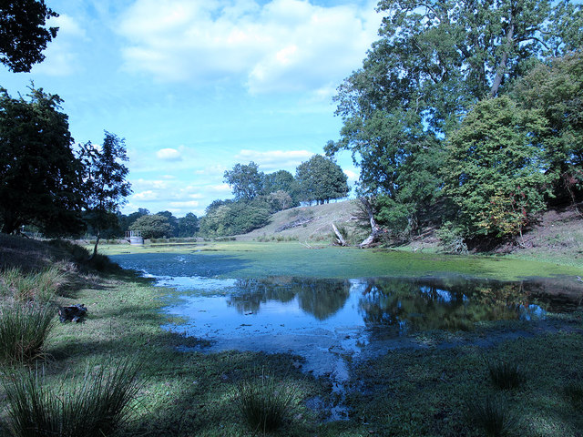
Chater Valley is a 3.8-hectare (9.4-acre) biological Site of Special Scientific Interest north of Loddington in Leicestershire.This steeply sloping stretch...
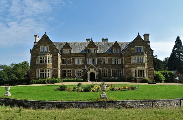
Launde Abbey

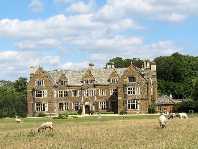
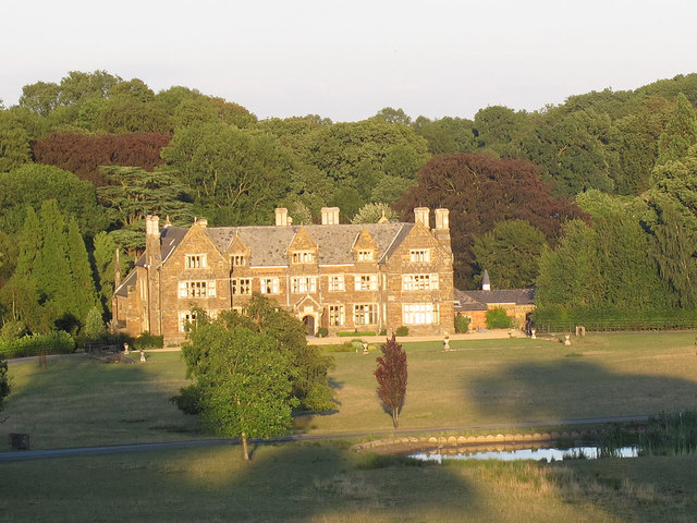
Launde Abbey is located in Leicestershire, England, 14 miles east of the city of Leicester and 6 miles south west of Oakham in Rutland. The house was built...

Launde Priory

Launde Priory is a former Augustinian priory in Leicestershire, England. Its successor Launde Abbey is used as a conference and retreat centre by the...

Launde

Launde is a civil parish in the Harborough district of Leicestershire, bordering Rutland. The parish is the site of Launde Abbey. It gives its name to...

Withcote Chapel

Withcote Chapel is a redundant Anglican church in the parish of Withcote, Leicestershire, England (grid reference SK795057). It is recorded in the National...
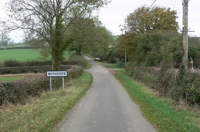
Withcote

Withcote is a small parish currently comprising a number of scattered dwellings in Harborough, a local government district of Leicestershire. The population...

Sauvey Castle

Sauvey Castle is a medieval castle, near Withcote, Leicestershire, England. It was probably built by King John in 1211 as a secluded hunting lodge in Leighfield...

Launde Big Wood

Launde Big Wood is a 41.1 hectares (102 acres) biological Site of Special Scientific Interest east of Leicester. It is part of Launde Woods nature reserve...

Nearby Amenities

Located within 500m of 52.635581,-0.81988699
Barrier: stile
Lat/Long: 52.636704/-0.8251067
Addr Housename: Avenue Cottage
Source: OS OpenData StreetView
Lat/Long: 52.6390875/-0.8171218
Barrier: cattle_grid
Lat/Long: 52.6331345/-0.8206289
The data included in this document is from www.openstreetmap.org. The data is made available under ODbL.

Have you been to Ash Hill Plantation?

Leave your review of Ash Hill Plantation below (or comments, questions and feedback).