Bradley's Plantation
Wood, Forest in Yorkshire Ryedale
England
Bradley's Plantation

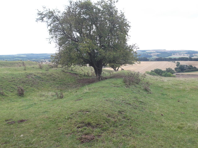
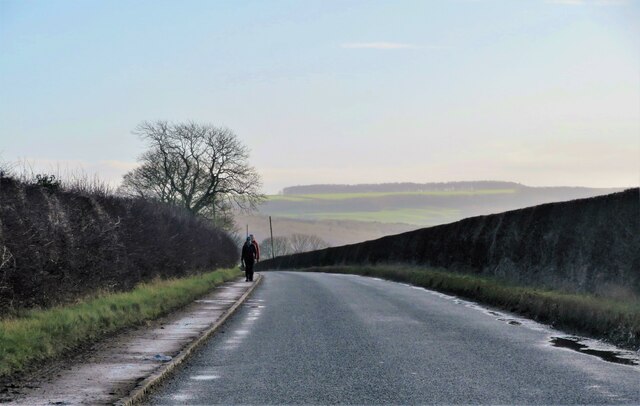
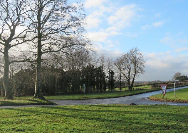
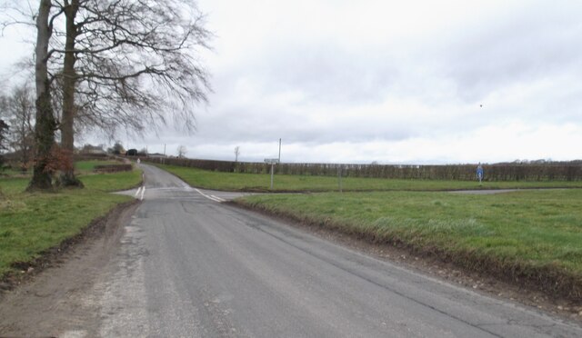
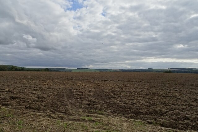
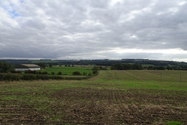
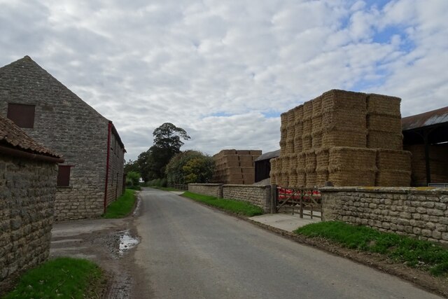
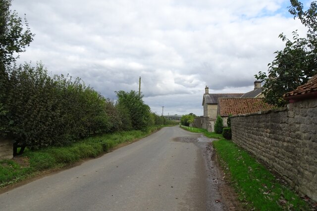
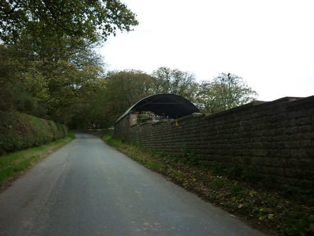
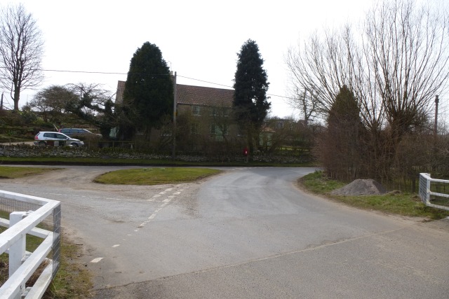
Bradley's Plantation, located in Yorkshire, England, is a picturesque woodland area known for its lush greenery and diverse array of plant and animal species. Spanning over several acres, this enchanting forest provides a tranquil retreat for nature enthusiasts and hikers alike.
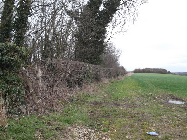
The plantation is characterized by its dense canopies of oak and beech trees, which provide a cool and shaded environment even on the hottest summer days. These towering trees create a unique ecosystem that supports a variety of wildlife, including squirrels, rabbits, and a wide range of bird species. The melodious chirping of birds can often be heard echoing throughout the woodland.
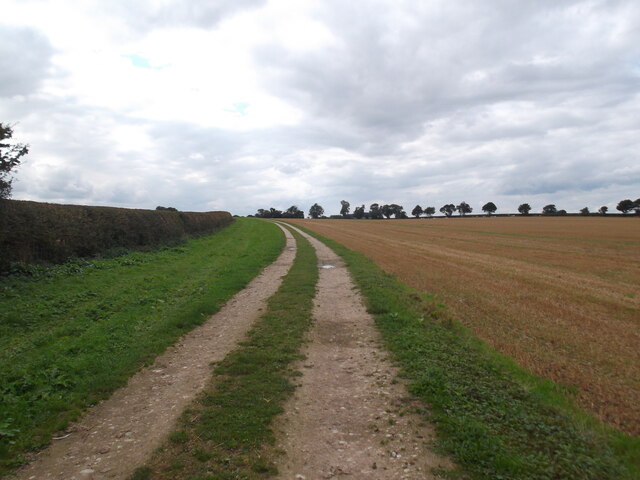
Walking through Bradley's Plantation, visitors can explore its well-maintained pathways that wind through the forest, offering breathtaking views and opportunities to spot rare flora and fauna. The forest floor is carpeted with vibrant wildflowers, providing a burst of color against the backdrop of the towering trees.
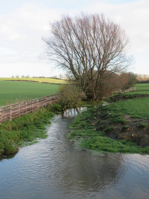
The plantation is also home to a small stream that meanders through the woods, adding to the serene ambiance. The tranquil sound of flowing water provides a soothing soundtrack as visitors traverse the woodland.
Bradley's Plantation is a popular destination for nature lovers, photographers, and those seeking a peaceful escape from the hustle and bustle of city life. Its idyllic setting and abundant natural beauty make it a must-visit location for anyone exploring Yorkshire's enchanting landscapes.
If you have any feedback on the listing, please let us know in the comments section below.
Bradley's Plantation Images
Images are sourced within 2km of 54.095191/-0.77888474 or Grid Reference SE7967. Thanks to Geograph Open Source API. All images are credited.


Bradley's Plantation is located at Grid Ref: SE7967 (Lat: 54.095191, Lng: -0.77888474)
Division: East Riding
Administrative County: North Yorkshire
District: Ryedale
Police Authority: North Yorkshire
What 3 Words
///homing.bookcases.ripen. Near Norton, North Yorkshire
Nearby Locations
Related Wikis

Woodleigh School, North Yorkshire
Woodleigh School was a preparatory school for boys and girls aged 3 to 13, located in the village of Langton, North Yorkshire, England. It was established...
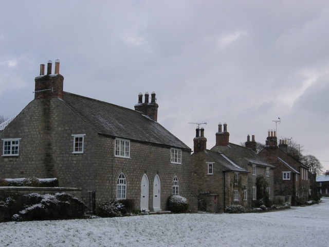
Langton, North Yorkshire
Langton is a village and civil parish in North Yorkshire, England. It is situated 3.5 miles (6 km) south from the market town of Malton. The population...

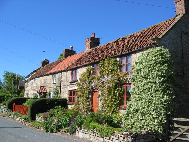
Kennythorpe
Kennythorpe is a hamlet in the civil parish of Burythorpe, North Yorkshire, England. It is 4 miles (6 km) south from Malton, and between the village of...

Eddlethorpe
Eddlethorpe is a hamlet in North Yorkshire, England. It is approximately 4 miles (6 km) south from Malton, and between the village of Langton to the east...

Birdsall, North Yorkshire
Birdsall is a village and civil parish in North Yorkshire, England. According to the 2001 census it had a population of 180, increasing to 343 at the 2011...
Burythorpe
Burythorpe is a village and civil parish in North Yorkshire, England, about 4 miles (6 km) south of Malton. According to the 2001 census it had a population...
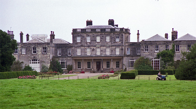
Birdsall House
Birdsall House is an English country house in Birdsall, North Yorkshire. It is a Grade II* listed building.The house dates from the late 16th century but...
Menethorpe
Menethorpe is a hamlet and former civil parish, now in the parish of Burythorpe, in North Yorkshire, England. In 1931 the parish had a population of 68...
Nearby Amenities
Located within 500m of 54.095191,-0.77888474Have you been to Bradley's Plantation?
Leave your review of Bradley's Plantation below (or comments, questions and feedback).