Mill Hill Wood
Wood, Forest in Lincolnshire
England
Mill Hill Wood
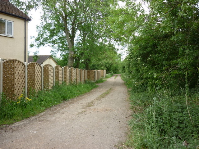
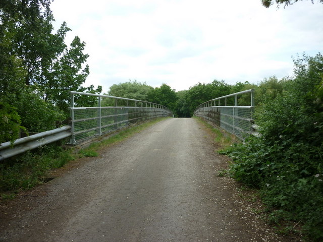
Mill Hill Wood is a picturesque forest located in Lincolnshire, England. Covering an area of approximately 150 acres, this wood is known for its natural beauty and diverse ecosystem. The wood is located near the village of Mill Hill and is easily accessible to visitors.
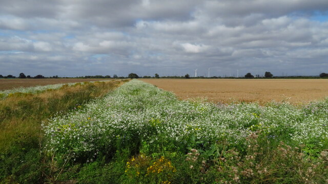
Mill Hill Wood is predominantly made up of broadleaf trees, including oak, beech, and birch. These towering trees provide a dense canopy, creating a shaded and cool environment within the wood. The forest floor is covered with a rich carpet of ferns, mosses, and wildflowers, adding to the enchanting atmosphere.
The wood is also home to a variety of wildlife. Birdwatchers can spot species such as woodpeckers, nuthatches, and owls. Squirrels and rabbits can be seen darting between trees, while deer occasionally make their presence known.
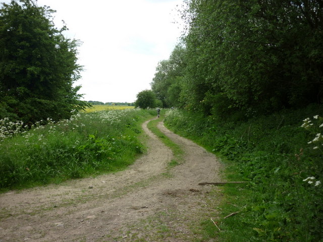
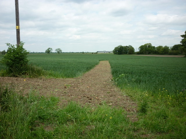
For outdoor enthusiasts, Mill Hill Wood offers a range of activities. There are several walking trails that wind through the forest, providing opportunities for leisurely strolls or more challenging hikes. The wood is also a popular spot for picnics and nature photography.
Visitors to Mill Hill Wood can enjoy the tranquility and solitude offered by this natural oasis. The wood provides a sense of escapism from the hustle and bustle of everyday life. Whether it's a leisurely walk, birdwatching, or simply appreciating the beauty of nature, Mill Hill Wood offers a peaceful retreat for all who visit.
If you have any feedback on the listing, please let us know in the comments section below.
Mill Hill Wood Images
Images are sourced within 2km of 53.557659/-0.79479307 or Grid Reference SE7907. Thanks to Geograph Open Source API. All images are credited.


Mill Hill Wood is located at Grid Ref: SE7907 (Lat: 53.557659, Lng: -0.79479307)
Unitary Authority: North Lincolnshire
Police Authority: Humberside
What 3 Words
///somewhere.handle.durations. Near Belton, Lincolnshire
Nearby Locations
Related Wikis

Brigg and Goole (UK Parliament constituency)
Brigg and Goole is a constituency in Yorkshire and Lincolnshire represented in the House of Commons of the UK Parliament since 2010 by Andrew Percy, a...

Isle of Axholme Rural District
Isle of Axholme was a rural district in Lincolnshire, Parts of Lindsey from 1894 to 1974. It was formed under the Local Government Act 1894 based on the...
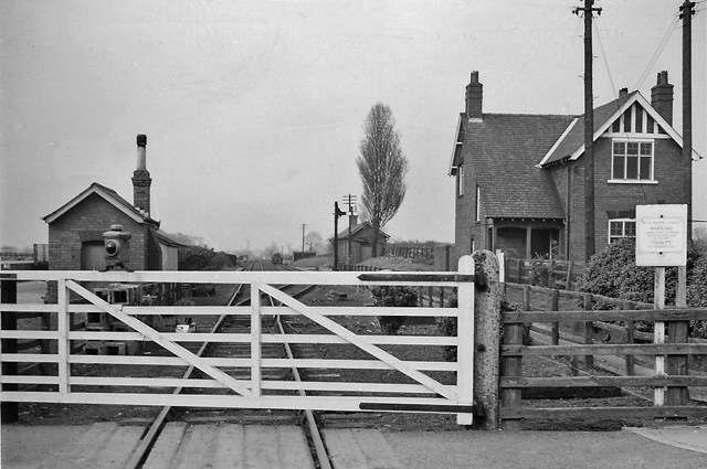
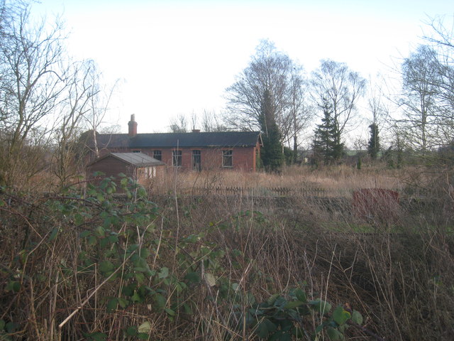
Belton railway station
Belton railway station was a station that served the village of Belton on the Isle of Axholme in Lincolnshire, England on the Axholme Joint Railway....
Belton, North Lincolnshire
Belton is a village and civil parish in the Isle of Axholme area of North Lincolnshire, England. It is situated on the A161 road, and approximately 6 miles...
Nearby Amenities
Located within 500m of 53.557659,-0.79479307Have you been to Mill Hill Wood?
Leave your review of Mill Hill Wood below (or comments, questions and feedback).