Stirling Spinney

Wood, Forest in Northamptonshire

England

Stirling Spinney

Power lines cross the A14
Power lines cross the A14 Credit: Peter Whatley

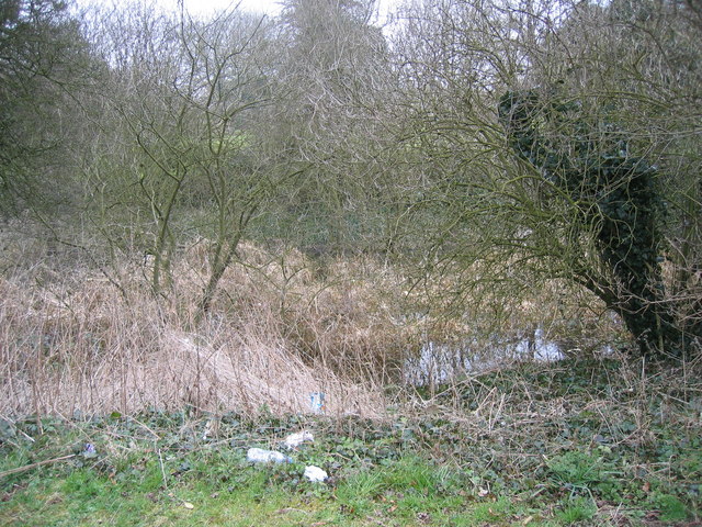
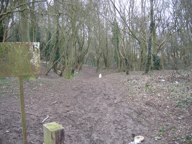
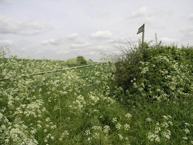
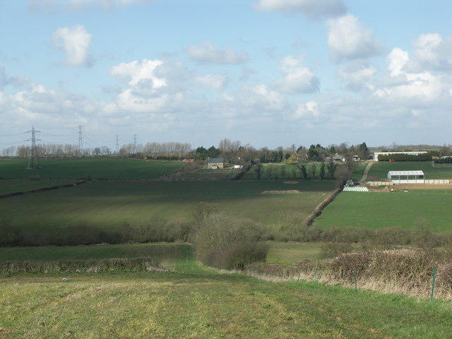
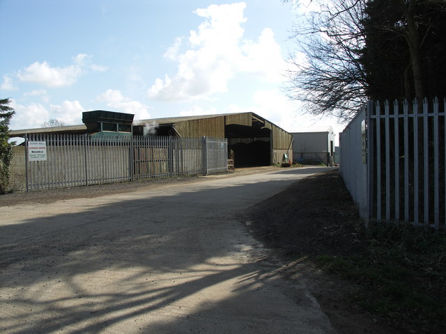
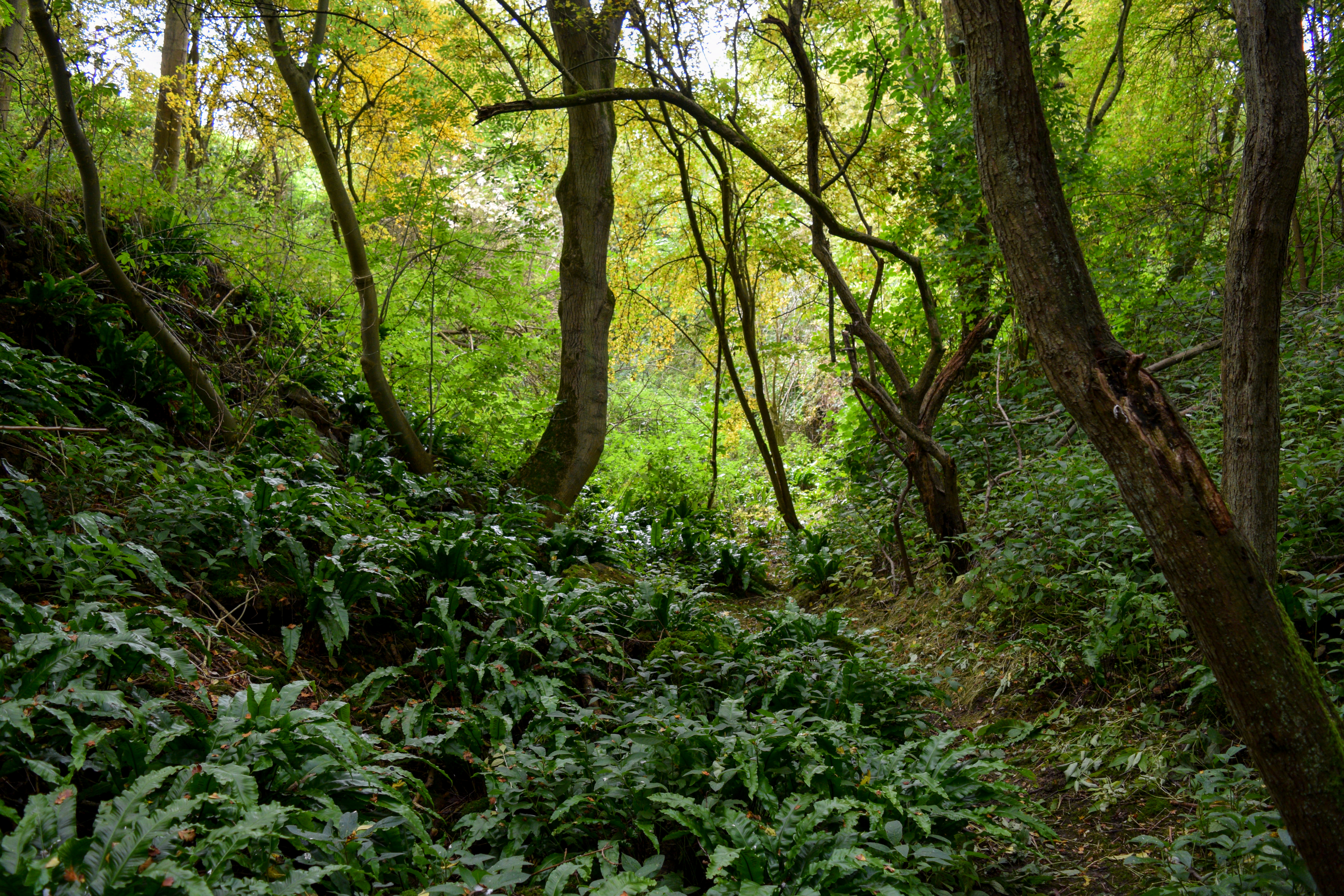
Stirling Spinney is a picturesque woodland located in Northamptonshire, England. Situated near the village of Stirling, this charming forest spans over an area of approximately 20 hectares. The Spinney is characterized by its dense and diverse vegetation, which includes a variety of trees, shrubs, and wildflowers.

The woodland is primarily composed of native tree species such as oak, beech, ash, and birch, creating a rich and vibrant ecosystem. The dense canopy of the trees provides shade and shelter for a wide range of wildlife, including birds, mammals, and insects. Visitors to Stirling Spinney may have the opportunity to spot species such as deer, foxes, badgers, and numerous bird species, making it a popular destination for nature lovers and wildlife enthusiasts.

The forest also features a network of well-maintained footpaths, allowing visitors to explore the area and enjoy the serene atmosphere. These paths wind through the woodland, offering stunning views of the surrounding landscape and providing a peaceful escape from the hustle and bustle of daily life.

Stirling Spinney is managed by the local authorities, ensuring its preservation and the conservation of its natural habitats. The woodland is a designated Site of Special Scientific Interest (SSSI), recognizing its ecological importance and the need to protect its unique flora and fauna.

Overall, Stirling Spinney offers a tranquil and enchanting experience for those seeking a connection with nature. Its lush vegetation, diverse wildlife, and well-maintained footpaths make it a delightful destination for outdoor enthusiasts and a valuable asset to the Northamptonshire countryside.

If you have any feedback on the listing, please let us know in the comments section below.

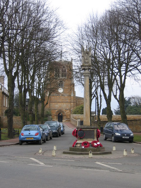
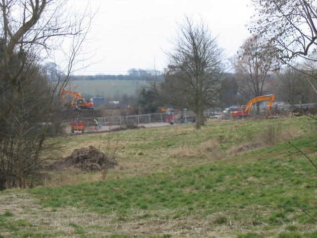
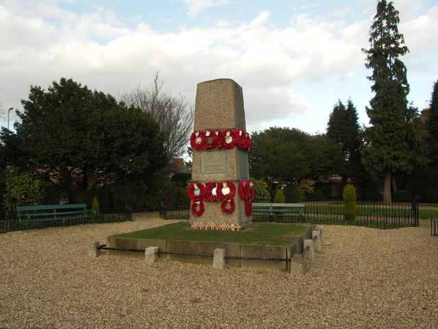
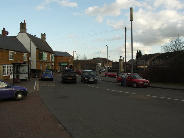
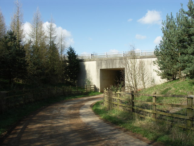
Stirling Spinney Images

Images are sourced within 2km of 52.424503/-0.82595733 or Grid Reference SP7981. Thanks to Geograph Open Source API. All images are credited.

Power lines cross the A14
A14 at Sandy Hill Farm bridge
Eastbound A14 near Sandy Hill Farm The A14 is a major road which runs for 129 miles from the Port of Felixstowe to the Catthorpe Interchange, the junction of the M1 and M6 motorways near Rugby.

The route linking Rugby (and therefore the West Midlands and the north of England via the motorway network) to East Anglia and the ports of Felixstowe and Harwich is incredibly important and incredibly busy (Felixstowe is the UK's principal container port and the A14 is the road between Felixstowe and everywhere else) but it didn't exist in any coherent form until about 1992.

Prior to the current A14 the main route from Birmingham to the Haven ports followed the old A45 road via Coventry, Rugby, Northampton, St Neots, Cambridge and then through all the towns on the A14, from there to Ipswich where it ended on the A12 – not the fast route required for transporting goods across the country with the sudden rise in container shipping during the latter part of the twentieth century.

Most of the current A14 route is a collection of bits of dual carriageway acquired from other roads (most notably the A45) with occasional stretches of new road to bolt it all together. Because of its importance to the country’s economy, there are plans to upgrade it further.

Prior to its use for the current route the A14 designation had been used for a section of road between the A10 at Royston and the A1 at Alconbury following part of the route of the Roman road, Ermine Street, which is now mostly designated as the A1198. The only bit of the current A14 that follows that number's original route is the spur linking junction 23 to the A1.

<span class="nowrap"><a title="http://www.cbrd.co.uk/motorway/a14" rel="nofollow ugc noopener" href="http://www.cbrd.co.uk/motorway/a14">Link</a><img style="margin-left:2px;" alt="External link" title="External link - shift click to open in new window" src="https://s1.geograph.org.uk/img/external.png" width="10" height="10"/></span> Chris's British Road Directory
<span class="nowrap"><a title="http://en.wikipedia.org/wiki/A14_road_(England)" rel="nofollow ugc noopener" href="http://en.wikipedia.org/wiki/A14_road_(England)">Link</a><img style="margin-left:2px;" alt="External link" title="External link - shift click to open in new window" src="https://s1.geograph.org.uk/img/external.png" width="10" height="10"/></span>  Wikipedia
Eastbound A14 near Sandy Hill Farm
The A14 is a major road which runs for 129 miles from the Port of Felixstowe to the Catthorpe Interchange, the junction of the M1 and M6 motorways near Rugby. The route linking Rugby (and therefore the West Midlands and the north of England via the motorway network) to East Anglia and the ports of Felixstowe and Harwich is incredibly important and incredibly busy (Felixstowe is the UK's principal container port and the A14 is the road between Felixstowe and everywhere else) but it didn't exist in any coherent form until about 1992. Prior to the current A14 the main route from Birmingham to the Haven ports followed the old A45 road via Coventry, Rugby, Northampton, St Neots, Cambridge and then through all the towns on the A14, from there to Ipswich where it ended on the A12 – not the fast route required for transporting goods across the country with the sudden rise in container shipping during the latter part of the twentieth century. Most of the current A14 route is a collection of bits of dual carriageway acquired from other roads (most notably the A45) with occasional stretches of new road to bolt it all together. Because of its importance to the country’s economy, there are plans to upgrade it further. Prior to its use for the current route the A14 designation had been used for a section of road between the A10 at Royston and the A1 at Alconbury following part of the route of the Roman road, Ermine Street, which is now mostly designated as the A1198. The only bit of the current A14 that follows that number's original route is the spur linking junction 23 to the A1. LinkExternal link Chris's British Road Directory LinkExternal link Wikipedia
Rothwell - The Market House A delightful and unusual building designed by William Grumbald for Sir Thomas Tresham. Work started in 1577 but remained unfinished for nearly 300 years until completed by local architect J A Gotch. Cross shaped in plan, it is decorated with the coat of arms of 90 local landed families and latin inscriptions. Now a local council office.
Rothwell - The Market House
A delightful and unusual building designed by William Grumbald for Sir Thomas Tresham. Work started in 1577 but remained unfinished for nearly 300 years until completed by local architect J A Gotch. Cross shaped in plan, it is decorated with the coat of arms of 90 local landed families and latin inscriptions. Now a local council office.
Holy Trinity Parish Church Rothwell The church is said to be the largest in the County. It has a famous bone crypt
Holy Trinity Parish Church Rothwell
The church is said to be the largest in the County. It has a famous bone crypt
Rothwell War memorial The war memorial, with Holy Trinity Parish church in the background. The memorial is sited on what was until very recently the A6, and is still the busiest road in town.
Rothwell War memorial
The war memorial, with Holy Trinity Parish church in the background. The memorial is sited on what was until very recently the A6, and is still the busiest road in town.
Mediaeval Fish Pond, Rothwell The ponds were for keeping fish to feed the monks. There were once four ponds in this public park, two were filled in by a vandalising council in the sixties, the others saved, but it seems uncared for by the people of Rothwell - although not forgotten, judging by the rubbish. Is this Northamptonshire's most uncared for park?
Mediaeval Fish Pond, Rothwell
The ponds were for keeping fish to feed the monks. There were once four ponds in this public park, two were filled in by a vandalising council in the sixties, the others saved, but it seems uncared for by the people of Rothwell - although not forgotten, judging by the rubbish. Is this Northamptonshire's most uncared for park?
Groococks Shoe Factory Rothwell Disappears The last working shoe factory in Rothwell being converted into housing. The busy A14 can be seen in the background
Groococks Shoe Factory Rothwell Disappears
The last working shoe factory in Rothwell being converted into housing. The busy A14 can be seen in the background
Old ironstone quarry near Rothwell There seems a dispute as to access here! This wood has grown in a defile left from ironstone mining to supply the ironworks of Kettering and later Corby. Many fields in this part of the county appear sunken, as the stone has been mined and topsoil restored.
Old ironstone quarry near Rothwell
There seems a dispute as to access here! This wood has grown in a defile left from ironstone mining to supply the ironworks of Kettering and later Corby. Many fields in this part of the county appear sunken, as the stone has been mined and topsoil restored.
Footpath to Rothwell Somewhere amongst this tangled mess is a footpath.
Footpath to Rothwell
Somewhere amongst this tangled mess is a footpath.
Gladstone Street, Rothwell, Northants Looking south with Victorian part of Rothwell Junior School on left hand side.
Rothwell Rifle and Band Club building (recently demolished) can be seen at lower end of street on left.
Gladstone Street, Rothwell, Northants
Looking south with Victorian part of Rothwell Junior School on left hand side. Rothwell Rifle and Band Club building (recently demolished) can be seen at lower end of street on left.
Rothwell Junior School Gladstone Street looking north towards Rothwell Junior School.
First built as Rothwell Board School in 1886.
Rothwell Junior School
Gladstone Street looking north towards Rothwell Junior School. First built as Rothwell Board School in 1886.
St. Giles at Desborough.
War Memorial.
War Memorial.
To Town Centre.
To Town Centre.
View across valley to Sandy Hill Farm.
Underpass under A14. This underpass is used by agricultural vehicles and the diverted bridleway.
Underpass under A14.
This underpass is used by agricultural vehicles and the diverted bridleway.
Works Entrance at Sandy Hill Farm.
Show me another place!

Stirling Spinney is located at Grid Ref: SP7981 (Lat: 52.424503, Lng: -0.82595733)

Unitary Authority: North Northamptonshire

Police Authority: Northamptonshire

What 3 Words

///acclaimed.headlines.arch. Near Desborough, Northamptonshire

Nearby Locations

Stirling Spinney

Related Wikis

Rothwell Gullet

Rothwell Gullet (grid reference SP806818) is a 1.6-hectare (4.0-acre) nature reserve near Rothwell, Northamptonshire. It is owned and managed by the Wildlife...

Montsaye Academy

Montsaye Academy is a coeducational secondary school and sixth form located in Rothwell, England. As an academy it was granted dual specialty status in...

Rothwell Corinthians F.C.

Rothwell Corinthians F.C. is a football club based in Rothwell, Northamptonshire, England. They play in the Spartan South Midlands League Division One...

Rothwell, Northamptonshire

Rothwell is a market town in North Northamptonshire, England. It is close to three larger towns, situated 4 miles [6.4km] northwest of Kettering, 7 miles...

Thorpe Underwood, Northamptonshire

Thorpe Underwood is a hamlet in the civil parish of Harrington, in North Northamptonshire, England. In 1870-72 it had a population of 22. Thorpe Underwood...

Rothwell Town F.C.

Rothwell Town F.C. was a football club based in Rothwell in the north of Northamptonshire. They were founding members of the Northamptonshire League in...

Desborough

Desborough is a town in the North Northamptonshire unitary area of Northamptonshire, England, lying in the Ise Valley between Market Harborough and Kettering...

Orton, Northamptonshire

Orton is a village and civil parish about 3 miles (5 km) west of Kettering, in North Northamptonshire, England. The villages name means 'Higher farm/settlement...

Related Videos

Rowell Fair Society Model Show 2023

Highlights of the annual model show at Rothwell (Northants) featuring many of the working & illuminated models on display.

Rowell Fair Society Model Show 2022

This event was back after the enforced two year absence, held annually on Trinity Sunday which fell on Sunday 12th June in 2022 ...

R INN hotel Desborough room review

R INN hotel Desborough room review. filmed: 09/03/22 price: £33.60 Be sure to check out my previous video: ...

Nearby Amenities

Located within 500m of 52.424503,-0.82595733
The data included in this document is from www.openstreetmap.org. The data is made available under ODbL.

Have you been to Stirling Spinney?

Leave your review of Stirling Spinney below (or comments, questions and feedback).