Nanny Wood
Wood, Forest in Yorkshire Scarborough
England
Nanny Wood

Nanny Wood, located in the county of Yorkshire, England, is a picturesque woodland area known for its natural beauty and tranquil atmosphere. Nestled within the larger Forest of Yorkshire, Nanny Wood is a haven for nature lovers and outdoor enthusiasts alike.
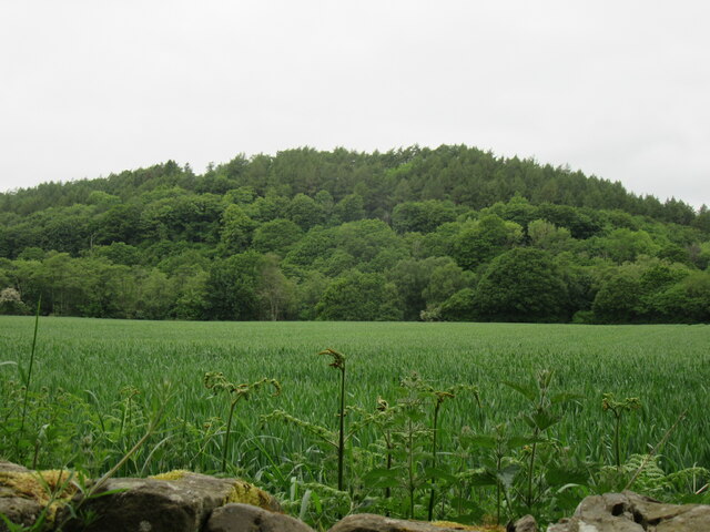
Covering an expansive area of lush greenery, Nanny Wood is home to a diverse range of flora and fauna, creating a thriving ecosystem. The wood is predominantly composed of native tree species, including oak, beech, and birch, which provide a dense canopy overhead, allowing only scattered sunlight to filter through. This creates a serene ambiance, perfect for peaceful walks and exploration.
The woodland floor is adorned with a carpet of wildflowers during the spring and summer months, adding vibrant colors to the already stunning landscape. Visitors can spot various wildlife species that call Nanny Wood their home, such as deer, foxes, and a variety of bird species.
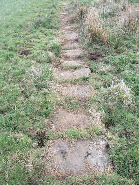
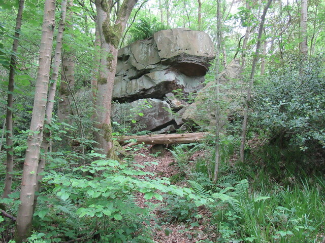
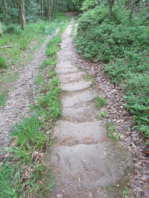
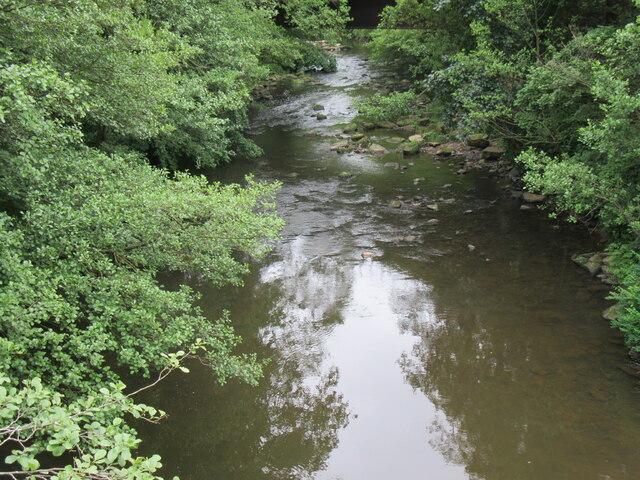
In addition to its natural beauty, Nanny Wood also offers a network of well-maintained walking trails, making it an ideal destination for hikers and nature enthusiasts. These trails wind through the wood, allowing visitors to fully immerse themselves in the tranquil surroundings and discover hidden gems along the way, such as babbling brooks and secluded glades.
Nanny Wood is a popular destination for those seeking a peaceful retreat from the hustle and bustle of everyday life. Its natural charm, diverse wildlife, and well-preserved walking trails make it a must-visit location for anyone looking to reconnect with nature in the heart of Yorkshire.
If you have any feedback on the listing, please let us know in the comments section below.
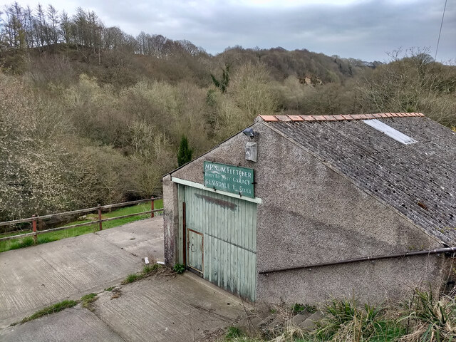
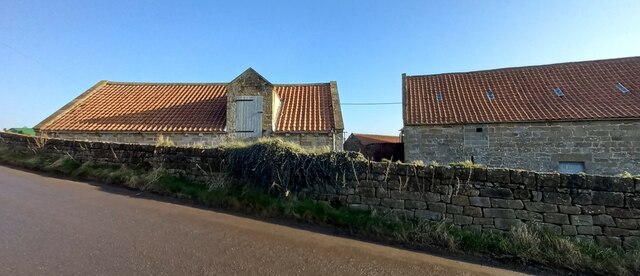
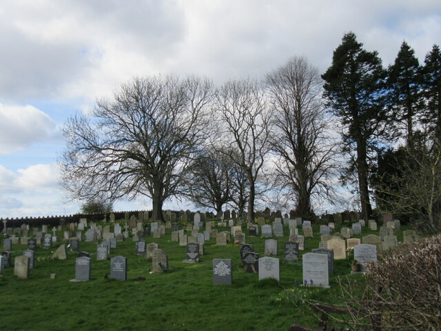
Nanny Wood Images
Images are sourced within 2km of 54.442518/-0.76896143 or Grid Reference NZ7905. Thanks to Geograph Open Source API. All images are credited.


Nanny Wood is located at Grid Ref: NZ7905 (Lat: 54.442518, Lng: -0.76896143)
Division: North Riding
Administrative County: North Yorkshire
District: Scarborough
Police Authority: North Yorkshire
What 3 Words
///download.seducing.sprain. Near Sleights, North Yorkshire
Nearby Locations
Related Wikis

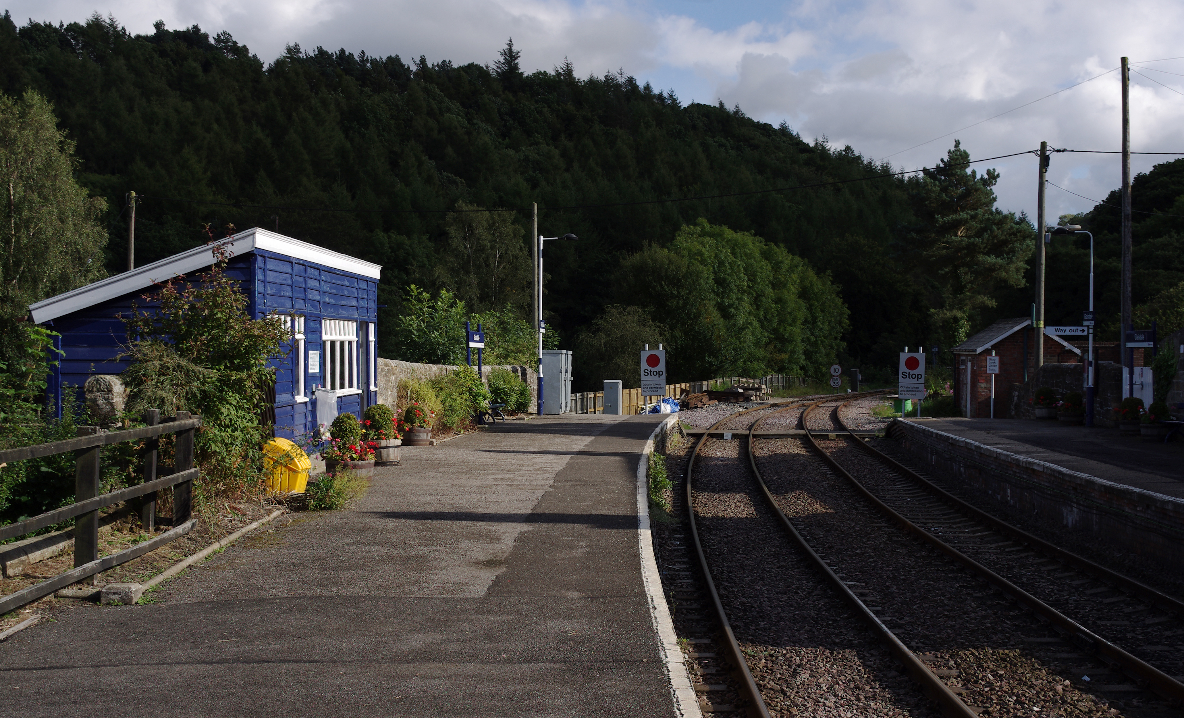
Egton railway station
Egton is a railway station on the Esk Valley Line, which runs between Middlesbrough and Whitby via Nunthorpe. The station, situated 7 miles 66 chains...
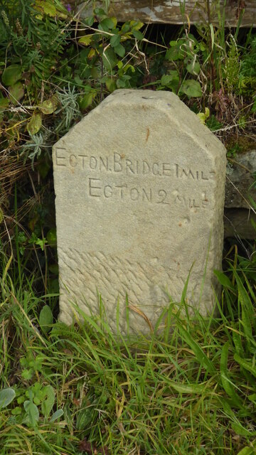
Egton Bridge
Egton Bridge is a village in the Scarborough district of North Yorkshire, England. It lies within the North York Moors National Park, on the River Esk...

Egton Manor
Egton Manor is an historic country house near the village of Egton Bridge, on the banks of the River Esk in the North Yorkshire Moors. The Grade II listed...

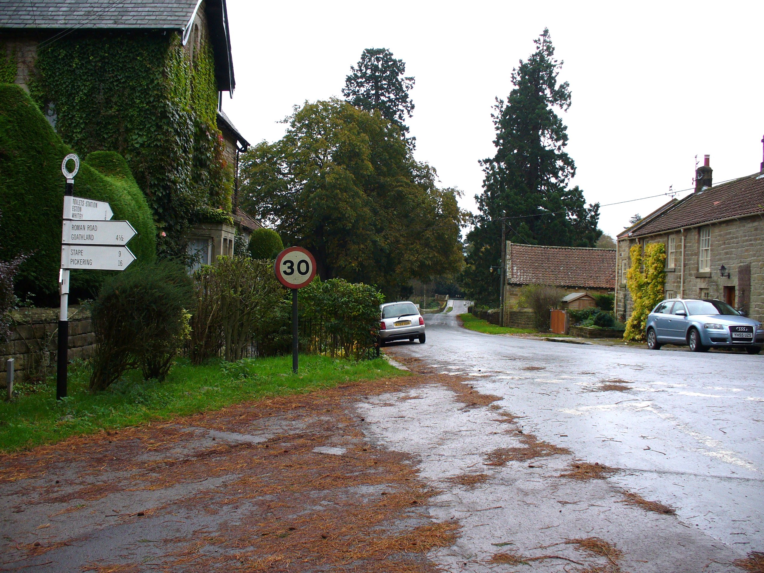
Egton
Egton is a village and civil parish in the Scarborough local administration district of North Yorkshire county, England, about 5 miles (8 km) west of Whitby...

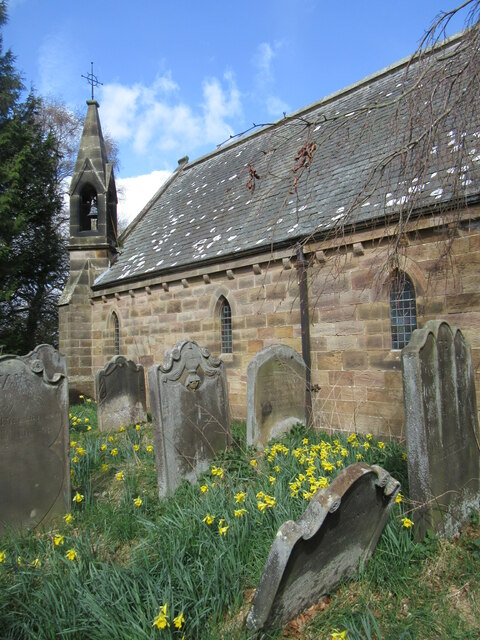
St Hilda's Church, Egton
St Hilda's church, Egton, is a Church of England church in Egton, North Yorkshire, built in 1879 and designed by local architect E. H. Smales. St Hilda...
Glaisdale railway station
Glaisdale is a railway station on the Esk Valley Line, which runs between Middlesbrough and Whitby via Nunthorpe. The station, situated 9 miles 33 chains...

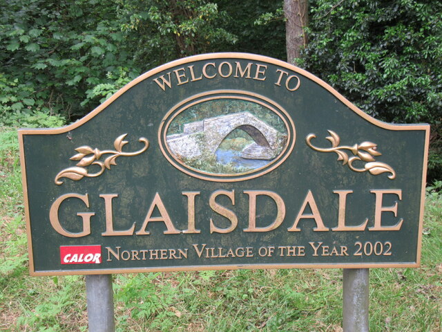
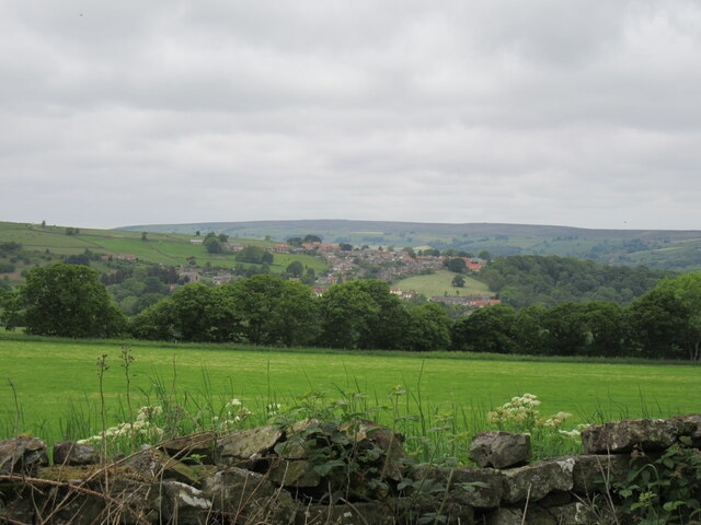
Glaisdale
Glaisdale is a village and civil parish in the Scarborough district of North Yorkshire, England, within the North York Moors National Park. It lies at...

Grosmont, North Yorkshire
Grosmont ( GROH-mont; archaically spelt Growmond) is a village and civil parish situated in Eskdale in the North York Moors National Park, within the boundaries...
Nearby Amenities
Located within 500m of 54.442518,-0.76896143Have you been to Nanny Wood?
Leave your review of Nanny Wood below (or comments, questions and feedback).