Combs Plantation

Wood, Forest in Leicestershire Melton

England

Combs Plantation

Footpath at the bottom of Plungar Wood After a steep descent from Terrace Hills on the Belvoir Escarpment, the path levels out onto the Vale of Belvoir
Footpath at the bottom of Plungar Wood Credit: Tim Heaton

Combs Plantation is a picturesque woodland located in Leicestershire, England. Covering an area of approximately 500 acres, it is nestled within the heart of the county's charming countryside. The plantation is part of the larger National Forest, a project initiated in the 1990s to reclaim and transform former coal mining areas into thriving woodland.

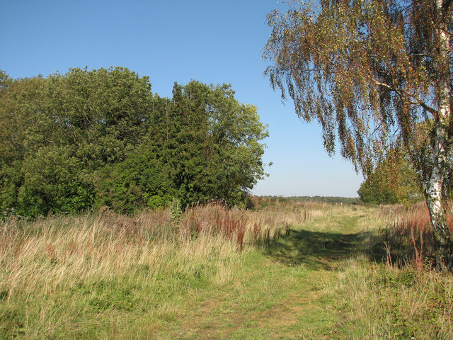
Combs Plantation is predominantly composed of deciduous trees, including oak, birch, and beech, which create a rich and diverse habitat for numerous plant and animal species. The woodland floor is adorned with a colorful carpet of wildflowers during the spring and summer months, attracting a variety of insects and small mammals.

The plantation is crisscrossed by a network of well-maintained footpaths and trails, allowing visitors to explore its natural beauty. These paths lead through enchanting glades, alongside babbling brooks, and up gentle inclines that offer stunning panoramic views of the surrounding countryside. Keen birdwatchers will find plenty to observe, as the woodland is home to a range of species, including woodpeckers, owls, and various songbirds.

Combs Plantation offers a peaceful and tranquil escape from the hustle and bustle of everyday life. It is a popular destination for nature enthusiasts, walkers, and families looking to enjoy a day surrounded by the beauty of the great outdoors. With its diverse flora and fauna, breathtaking landscapes, and well-maintained trails, Combs Plantation is a true gem in the Leicestershire countryside.

If you have any feedback on the listing, please let us know in the comments section below.

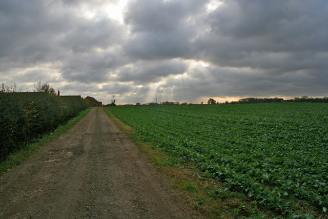
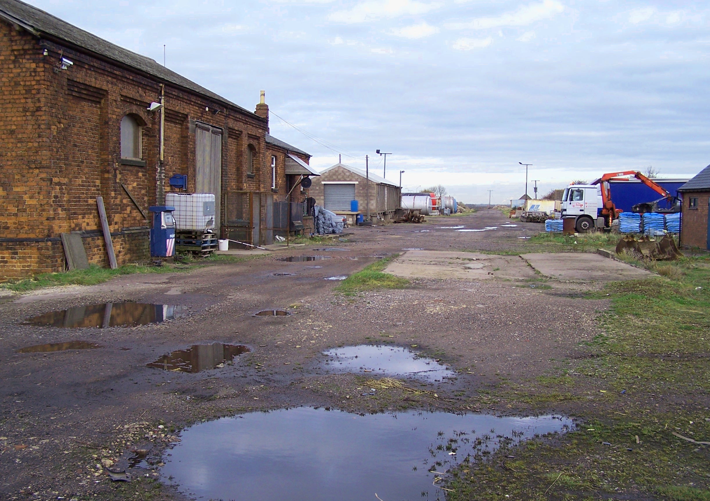
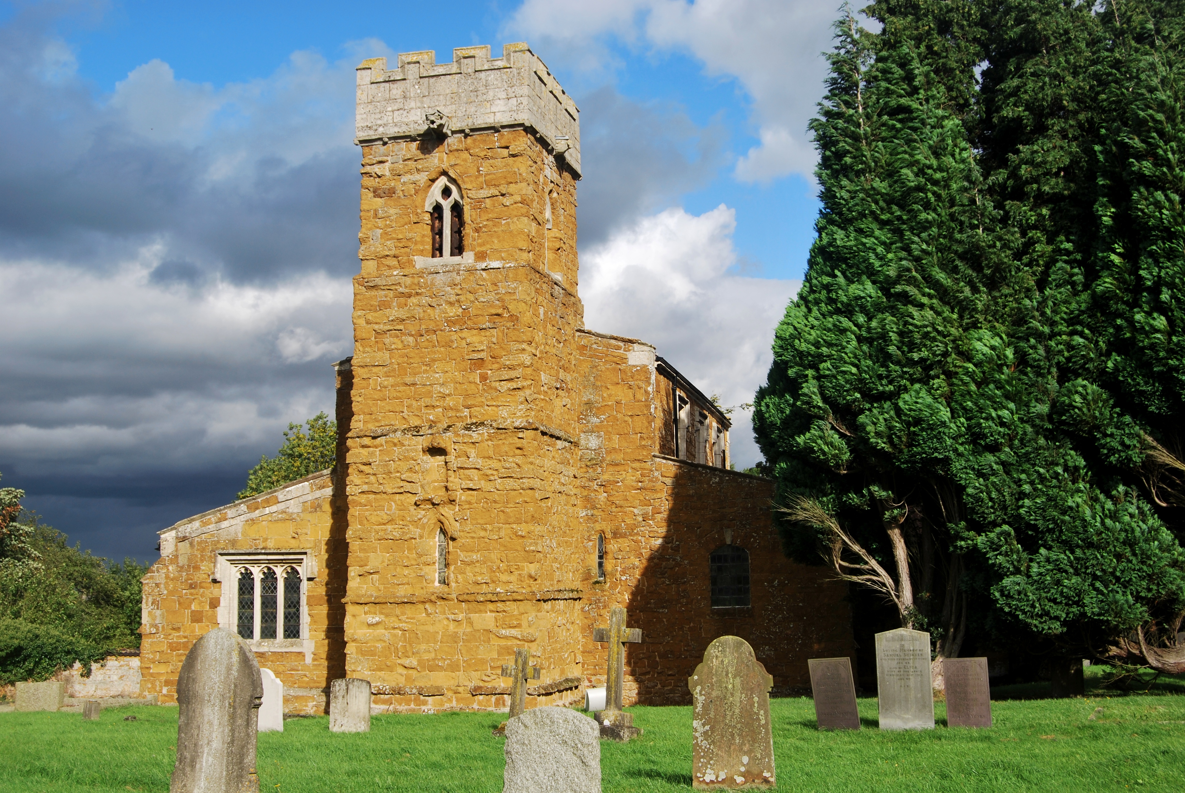
Combs Plantation Images

Images are sourced within 2km of 52.866221/-0.84274067 or Grid Reference SK7830. Thanks to Geograph Open Source API. All images are credited.

Footpath at the bottom of Plungar Wood After a steep descent from Terrace Hills on the Belvoir Escarpment, the path levels out onto the Vale of Belvoir
Footpath at the bottom of Plungar Wood
After a steep descent from Terrace Hills on the Belvoir Escarpment, the path levels out onto the Vale of Belvoir
Rectory, Stathern A fine early C18th house in the attractive local ironstone. Grade II listed.
A limited view as the owner did not allow me to take a photo from the grounds. A better view is here <a href="https://www.geograph.org.uk/photo/5209990">SK7730 : The Old Rectory, Stathern</a>.
Rectory, Stathern
A fine early C18th house in the attractive local ironstone. Grade II listed. A limited view as the owner did not allow me to take a photo from the grounds. A better view is here SK7730 : The Old Rectory, Stathern.
Former Lace Factory Grade II listed just three months before this photo. Dating from the late 19th century as lace manufacturers moved out from Nottingham in search of cheaper labour.  

From the listing text:

"Historic interest: * as an interesting and rare survival of a small-scale village factory, linked to the prolific local lace industry which originated in Nottingham in the late C18."

List Entry Number:1486471 <span class="nowrap"><a title="https://historicengland.org.uk/listing/the-list/list-entry/1486471?section=official-list-entry" rel="nofollow ugc noopener" href="https://historicengland.org.uk/listing/the-list/list-entry/1486471?section=official-list-entry">Link</a><img style="margin-left:2px;" alt="External link" title="External link - shift click to open in new window" src="https://s1.geograph.org.uk/img/external.png" width="10" height="10"/></span>

It has been geographed before: <a href="https://www.geograph.org.uk/photo/1192135">SK7730 : Engineering works, Stathern</a> <a href="https://www.geograph.org.uk/photo/64036">SK7730 : The Vale Engineering Works, Stathern</a>.
Former Lace Factory
Grade II listed just three months before this photo. Dating from the late 19th century as lace manufacturers moved out from Nottingham in search of cheaper labour. From the listing text: "Historic interest: * as an interesting and rare survival of a small-scale village factory, linked to the prolific local lace industry which originated in Nottingham in the late C18." List Entry Number:1486471 LinkExternal link It has been geographed before: SK7730 : Engineering works, Stathern SK7730 : The Vale Engineering Works, Stathern.
Former Lace Factory Grade II listed just tree months before this photo. Dating from the late 19th century as lace manufacturers moved out from Nottingham in search of cheaper labour. 

From the listing text:

"Historic interest: * as an interesting and rare survival of a small-scale village factory, linked to the prolific local lace industry which originated in Nottingham in the late C18."

List Entry Number:1486471 <span class="nowrap"><a title="https://historicengland.org.uk/listing/the-list/list-entry/1486471?section=official-list-entry" rel="nofollow ugc noopener" href="https://historicengland.org.uk/listing/the-list/list-entry/1486471?section=official-list-entry">Link</a><img style="margin-left:2px;" alt="External link" title="External link - shift click to open in new window" src="https://s1.geograph.org.uk/img/external.png" width="10" height="10"/></span>

It has been geographed before: SK7730 : Engineering works, Stathern SK7730 : The Vale Engineering Works, Stathern
Former Lace Factory
Grade II listed just tree months before this photo. Dating from the late 19th century as lace manufacturers moved out from Nottingham in search of cheaper labour. From the listing text: "Historic interest: * as an interesting and rare survival of a small-scale village factory, linked to the prolific local lace industry which originated in Nottingham in the late C18." List Entry Number:1486471 LinkExternal link It has been geographed before: SK7730 : Engineering works, Stathern SK7730 : The Vale Engineering Works, Stathern
The Plough Strathern Main Street
The Plough Strathern
Main Street
The sign of The Plough See <a href="https://www.geograph.org.uk/photo/7625142">SK7731 : The Plough Strathern</a>
The sign of The Plough
The (former) Red Lion Quite a few photos of this pub on the site including <a href="https://www.geograph.org.uk/photo/6592923">SK7731 : Red Lion Inn, Stathern</a> <a href="https://www.geograph.org.uk/photo/1192305">SK7731 : End of a day's walking</a> <a href="https://www.geograph.org.uk/photo/5470694">SK7731 : Toft's Hill, Stathern</a> <a href="https://www.geograph.org.uk/photo/3228841">SK7731 : The Red Lion, Stathern</a> <a href="https://www.geograph.org.uk/photo/64035">SK7731 : The Red Lion, Stathern</a>.

It closed in 2017 I believe.
The (former) Red Lion
The sign of The Red Lion See <a href="https://www.geograph.org.uk/photo/7627503">SK7731 : The (former) Red Lion</a>.
The sign of The Red Lion
Main Street leaving Eastwell The footpath on the right leads to Eaton
Main Street leaving Eastwell
The footpath on the right leads to Eaton
Main Street from Eastwell running along the top of the Belvoir Escarpment
Mill Hill on the top of the Belvoir escarpment Heading towards Eastwell
Mill Hill on the top of the Belvoir escarpment
Heading towards Eastwell
Site of the terminus of the Eaton Branch Until 1958, this quiet and isolated spot in the hills near Belvoir Castle was the site of the terminus of the Eaton Branch, built in the 1880s by the Great Northern to carry iron ore from the many quarries in the area to Scalford on the GN&LNWJt line and then to ironworks such as Holwell, Stanton and Staveley. The picture is taken looking along where the run-round loop and sidings were. The trees on the left are growing on the site of the elevated tipping dock of the Waltham Iron Ore Co, where little narrow-gauge engines, two of them French, pushed tipper wagons brought across the fields - see <a href="https://www.geograph.org.uk/photo/1370054">SK8132 : Faint traces of the ironstone railway at High Leys</a> - from a succession of quarries in the area to discharge ironstone into the main-line wagons.

For more about this evocative spot, see <a href="https://www.geograph.org.uk/photo/1369886">SK7930 : The End of the GNR Eaton Branch</a>, <a href="https://www.geograph.org.uk/photo/1371112">SK7930 : Site of engine shed and tipping dock, Waltham Iron Ore Co Ltd</a> and <a href="https://www.geograph.org.uk/photo/1404743">SK7930 : Railway Relic in the Undergrowth</a>, all taken on a less glorious day than this one during the heatwave at the end of September 2011.
Site of the terminus of the Eaton Branch
Until 1958, this quiet and isolated spot in the hills near Belvoir Castle was the site of the terminus of the Eaton Branch, built in the 1880s by the Great Northern to carry iron ore from the many quarries in the area to Scalford on the GN&LNWJt line and then to ironworks such as Holwell, Stanton and Staveley. The picture is taken looking along where the run-round loop and sidings were. The trees on the left are growing on the site of the elevated tipping dock of the Waltham Iron Ore Co, where little narrow-gauge engines, two of them French, pushed tipper wagons brought across the fields - see SK8132 : Faint traces of the ironstone railway at High Leys - from a succession of quarries in the area to discharge ironstone into the main-line wagons. For more about this evocative spot, see SK7930 : The End of the GNR Eaton Branch, SK7930 : Site of engine shed and tipping dock, Waltham Iron Ore Co Ltd and SK7930 : Railway Relic in the Undergrowth, all taken on a less glorious day than this one during the heatwave at the end of September 2011.
Rail in the undergrowth There are still relics of the narrow-gauge railway which ended at the tipping dock here and worked from 1885-1958. See <a href="https://www.geograph.org.uk/photo/2629685">SK7930 : Site of the terminus of the Eaton Branch</a> for the wider context. <a href="https://www.geograph.org.uk/photo/1404743">SK7930 : Railway Relic in the Undergrowth</a> shows one of the sleepers to which light flat-bottom rail such as this was spiked.
Rail in the undergrowth
There are still relics of the narrow-gauge railway which ended at the tipping dock here and worked from 1885-1958. See SK7930 : Site of the terminus of the Eaton Branch for the wider context. SK7930 : Railway Relic in the Undergrowth shows one of the sleepers to which light flat-bottom rail such as this was spiked.
Railway gatepost and old ironstone workings The concrete gatepost probably dates from when the Eaton Branch had its terminus here (1885-1958). The fields straight ahead, as far as Stathern Wood, were quarried for ironstone at various times from the 1880s until 1948 and latterly known as Long Hole. The pits were shallow and the land took little reclaiming when quarrying ended. Beyond the line of trees the escarpment drops steeply to the Vale of Belvoir 300ft below.
Railway gatepost and old ironstone workings
The concrete gatepost probably dates from when the Eaton Branch had its terminus here (1885-1958). The fields straight ahead, as far as Stathern Wood, were quarried for ironstone at various times from the 1880s until 1948 and latterly known as Long Hole. The pits were shallow and the land took little reclaiming when quarrying ended. Beyond the line of trees the escarpment drops steeply to the Vale of Belvoir 300ft below.
Remains of ironstone workings The Waltham Iron Ore Co (1885-1958) quarried these fields just east of Belvoir Road from 1899-1905. The picture shows grassed-over piles of overburden left after the ironstone had been removed. In later years quarry owners levelled and restored the land more carefully (for example at Harlaxton, Buckminster and Colsterworth, where the overburden was thicker and the quarries much deeper than here and at Eastwell).
Remains of ironstone workings
The Waltham Iron Ore Co (1885-1958) quarried these fields just east of Belvoir Road from 1899-1905. The picture shows grassed-over piles of overburden left after the ironstone had been removed. In later years quarry owners levelled and restored the land more carefully (for example at Harlaxton, Buckminster and Colsterworth, where the overburden was thicker and the quarries much deeper than here and at Eastwell).
Footpath south of Combs Plantation, nr Stathern
Sentinel of Combs Plantation Old tree stump just off the path south of Combs Plantation.
Sentinel of Combs Plantation
Old tree stump just off the path south of Combs Plantation.
Farm Track to Sherricliffe Farm Looking South down the Jubilee Way Long Distance footpath.

As usual, as soon as I decide to venture forth with my camera the sun takes cover behind the clouds!
Farm Track to Sherricliffe Farm
Looking South down the Jubilee Way Long Distance footpath. As usual, as soon as I decide to venture forth with my camera the sun takes cover behind the clouds!
Show me another place!

Combs Plantation is located at Grid Ref: SK7830 (Lat: 52.866221, Lng: -0.84274067)

Administrative County: Leicestershire

District: Melton

Police Authority: Leicestershire

What 3 Words

///distracts.cobras.rattler. Near Long Clawson, Leicestershire

Nearby Locations

Combs Plantation

Related Wikis

Stathern

Stathern is an English village and civil parish in the Melton district of Leicestershire. It lies in the Vale of Belvoir about 10 miles (16 km) north of...

Terrace Hills Pasture

Terrace Hills Pasture is an 11.3-hectare (28-acre) biological Site of Special Scientific Interest north of Eastwell in Leicestershire.This site has been...

Harby and Stathern railway station

Harby & Stathern railway station is a former station on the Great Northern and London and North Western Joint Railway that served the villages of Harby...

Eastwell, Leicestershire

Eastwell is a village and ecclesiastical parish in Leicestershire, England. The village's name means 'eastern spring/stream'.For the purposes of administration...

Nearby Amenities

Located within 500m of 52.866221,-0.84274067
Barrier: horse_stile
Lat/Long: 52.8694323/-0.8390965
Barrier: kissing_gate
Lat/Long: 52.8684024/-0.8444293
Barrier: kissing_gate
Lat/Long: 52.8652837/-0.8476298
The data included in this document is from www.openstreetmap.org. The data is made available under ODbL.

Have you been to Combs Plantation?

Leave your review of Combs Plantation below (or comments, questions and feedback).