East Hanger
Wood, Forest in Sussex Chichester
England
East Hanger
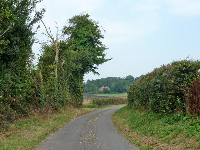
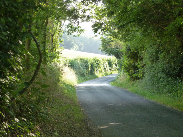
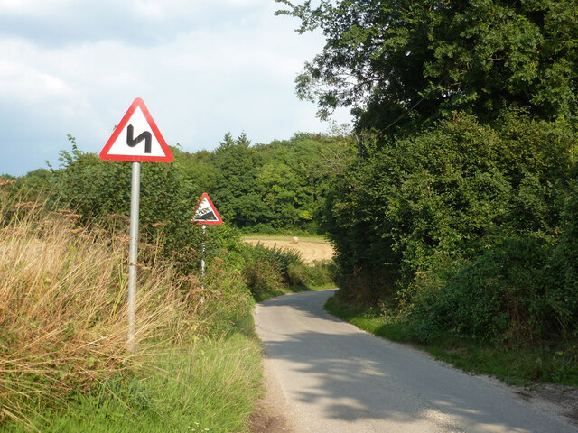
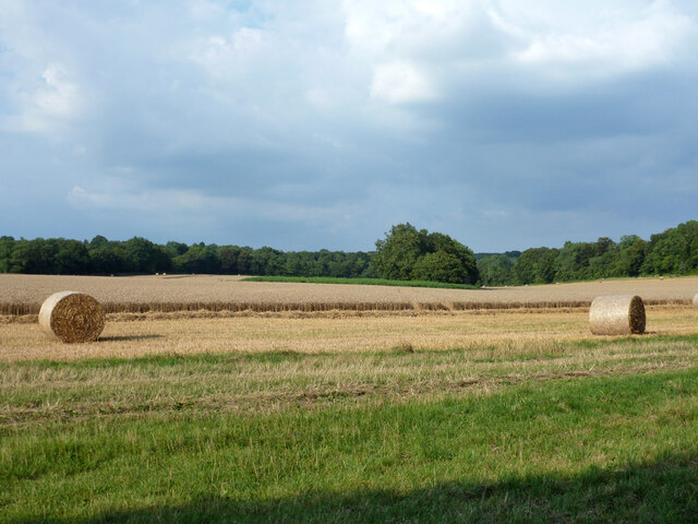
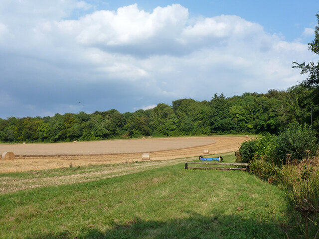
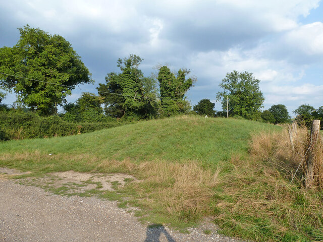
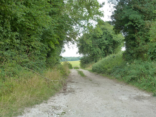
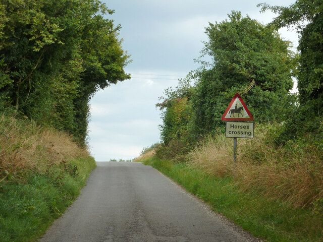
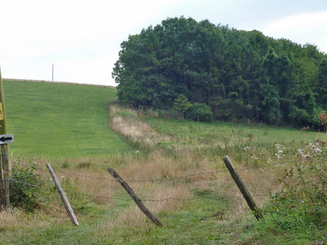
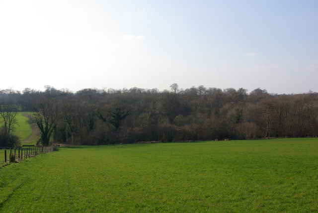
East Hanger is a small village located in the county of Sussex, England. Situated in the woodlands and forests of Sussex, it is an idyllic and picturesque area known for its natural beauty and tranquility. The village is nestled amidst a lush green landscape, surrounded by dense woods and tall trees, making it a haven for nature lovers and outdoor enthusiasts.
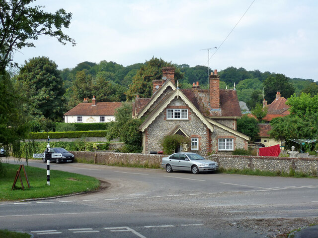
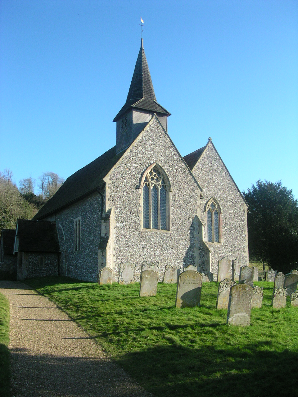
The village itself is made up of a scattering of traditional cottages and houses, giving it a charming and quaint atmosphere. The architecture reflects the rural character of the area, with many buildings featuring timber frames and thatched roofs. The village is well-preserved and has retained its historic charm throughout the years.
East Hanger is a popular destination for those seeking a peaceful retreat away from the hustle and bustle of city life. The surrounding woodlands offer ample opportunities for hiking, cycling, and exploring nature trails. The area is rich in wildlife, with various bird species, deer, and other woodland creatures often spotted in the vicinity.
The village is also home to a small community, with a local pub, a village hall, and a primary school catering to the needs of the residents. The sense of community is strong, with regular events and gatherings organized to bring people together.
Overall, East Hanger, Sussex (Wood, Forest) is a charming village nestled in the heart of the Sussex woodlands, offering a tranquil and picturesque escape for those seeking a connection with nature and a slower pace of life.
If you have any feedback on the listing, please let us know in the comments section below.
East Hanger Images
Images are sourced within 2km of 50.927966/-0.89152938 or Grid Reference SU7714. Thanks to Geograph Open Source API. All images are credited.


East Hanger is located at Grid Ref: SU7714 (Lat: 50.927966, Lng: -0.89152938)
Administrative County: West Sussex
District: Chichester
Police Authority: Sussex
What 3 Words
///lawfully.keeps.spurring. Near South Harting, West Sussex
Nearby Locations
Related Wikis
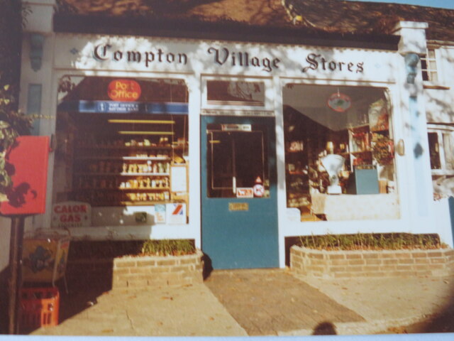
Compton, West Sussex
Compton is a village and civil parish in the Chichester district of West Sussex. The village lies on the B2146 road, six miles (9.7 km) southeast of Petersfield...

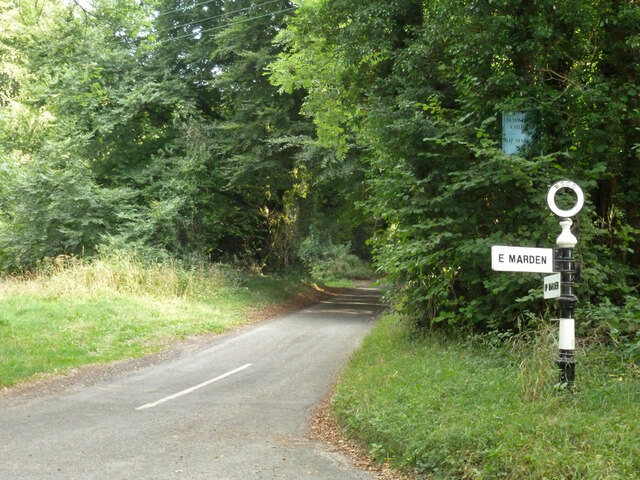
West Marden
West Marden is a hamlet in the Chichester district of West Sussex, England. It lies on the B2146 road 5 miles (8.2 km) north of Emsworth. It is in the...

Compton Down, Compton
Compton Down is an extent of high ground near Compton, West Sussex where there was an Admiralty semaphore station. The semaphore station was built at...
Pads Wood
Pads Wood is a 22.2-hectare (55-acre) biological Site of Special Scientific Interest west of Midhurst in West Sussex.This ancient coppiced wood is mainly...

Up Marden
Up Marden is a small village and former civil parish, now in the parish of Compton, in the Chichester district of West Sussex, England. It is on the South...

Marden, West Sussex
Marden is a civil parish in the Chichester district of West Sussex, England. It lies on the South Downs and comprises the villages of North Marden and...

East Marden
East Marden is a village and former civil parish, now in the parish of Marden, in the Chichester district of West Sussex, England. It is on the spur of...

Uppark
Uppark is a 17th-century house in South Harting, West Sussex, England. It is a Grade I listed building and a National Trust property. == History == The...
Nearby Amenities
Located within 500m of 50.927966,-0.89152938Have you been to East Hanger?
Leave your review of East Hanger below (or comments, questions and feedback).