Arthur's Gorse
Wood, Forest in Buckinghamshire
England
Arthur's Gorse
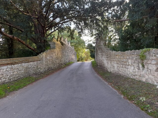
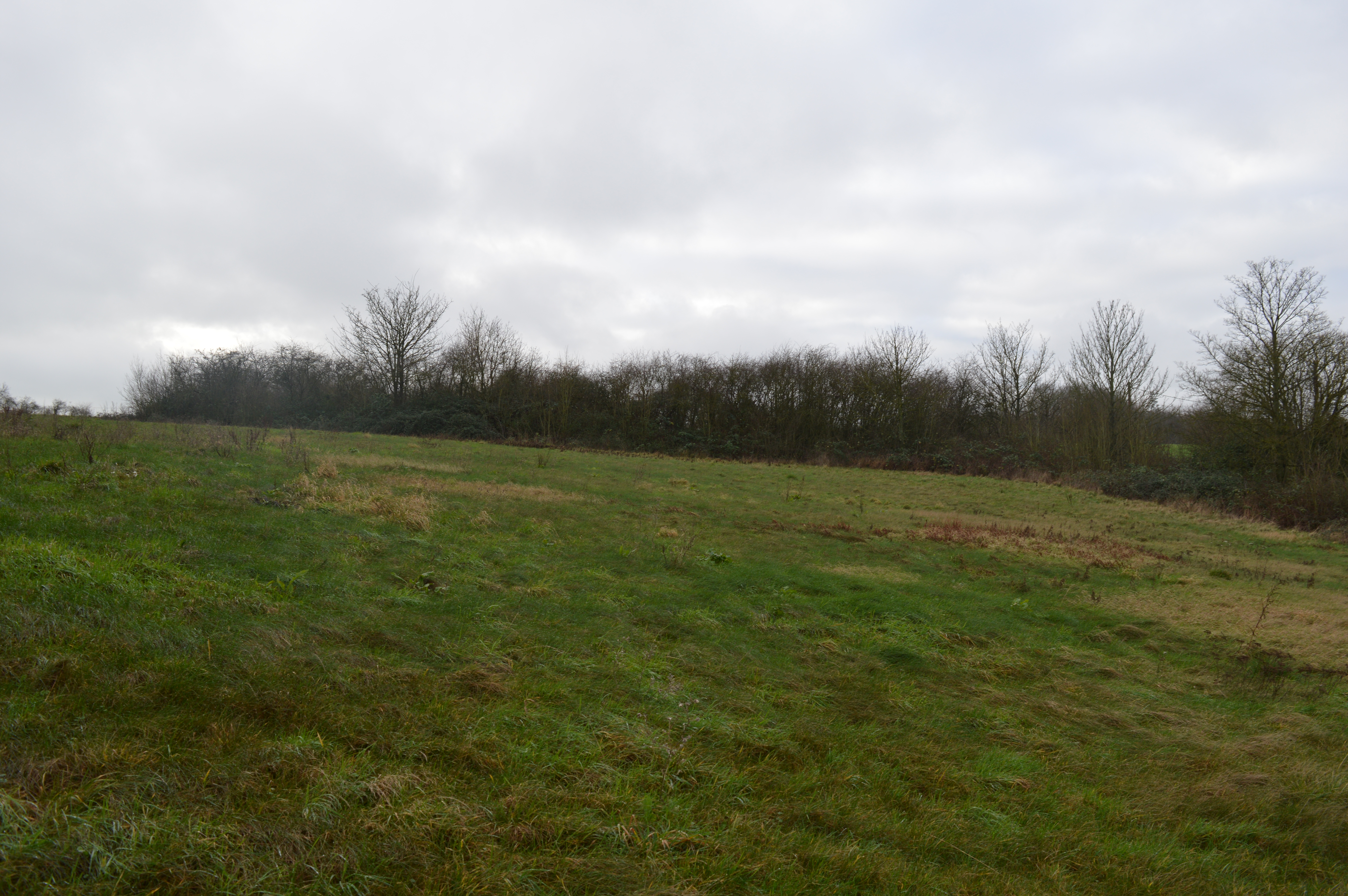
Arthur's Gorse is a quaint woodland located in Buckinghamshire, England. Covering an area of approximately 10 acres, this enchanting forest is renowned for its natural beauty and rich biodiversity. The wood is situated near the village of Goring, making it easily accessible for both locals and visitors alike.
Arthur's Gorse offers a tranquil escape from the hustle and bustle of everyday life. Upon entering the wood, visitors are greeted by a dense canopy of towering trees, including oak, beech, and birch. The forest floor is adorned with a vibrant carpet of wildflowers, creating a picturesque landscape that changes with the seasons.
The wood is home to a diverse range of wildlife, providing a haven for nature enthusiasts. Foxes, rabbits, and badgers can often be spotted foraging amongst the undergrowth, while a variety of bird species, including owls and woodpeckers, can be heard chirping and drumming throughout the day.
Arthur's Gorse is also steeped in history and folklore. Legend has it that the wood is named after King Arthur himself, who is said to have traversed through this ancient forest during his quests. The wood is rumored to be a place of hidden treasures and mystical sightings, adding an air of mystery and intrigue to its already enchanting atmosphere.
Whether it's a leisurely stroll, a picnic amidst nature, or simply a moment of solitude, Arthur's Gorse offers a serene and idyllic setting for visitors to connect with the natural world. With its abundance of flora and fauna and its fascinating history, this woodland gem is a must-visit destination for those seeking a peaceful retreat in the heart of Buckinghamshire.
If you have any feedback on the listing, please let us know in the comments section below.
Arthur's Gorse Images
Images are sourced within 2km of 51.812521/-0.86980597 or Grid Reference SP7813. Thanks to Geograph Open Source API. All images are credited.


Arthur's Gorse is located at Grid Ref: SP7813 (Lat: 51.812521, Lng: -0.86980597)
Unitary Authority: Buckinghamshire
Police Authority: Thames Valley
What 3 Words
///clouds.print.minds. Near Stone, Buckinghamshire
Nearby Locations
Related Wikis
Stone SSSI, Buckinghamshire
Stone SSSI is a 0.12-hectare (0.30-acre) geological Site of Special Scientific Interest in Stone in Buckinghamshire. It is listed by the Joint Nature Conservation...

Stone, Buckinghamshire
Stone is a village and former civil parish, now in the parish of Stone with Bishopstone and Hartwell, in Buckinghamshire, England. It is located southwest...

Eythrope
Eythrope (previously Ethorp) is a hamlet and country house in the parish of Waddesdon, in Buckinghamshire, England. It is located to the south east of...
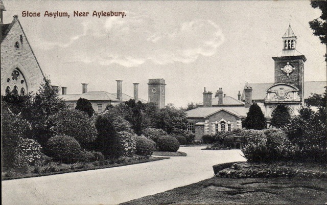
St John's Hospital, Stone
St John's Hospital was a mental health facility at Stone, Buckinghamshire, England. == History == The hospital, which was designed by Thomas Henry Wyatt...

Hartwell, Buckinghamshire
Hartwell is a village and former civil parish, now in the parish of Stone with Bishopstone and Hartwell, in central Buckinghamshire, England. It is to...
St Mary's Church, Hartwell
St Mary's Church is a redundant Anglican church in the village of Hartwell, Buckinghamshire, England. It is under the care of the Churches Conservation...

Bugle Quarry
Bugle Quarry is a 0.08-hectare (0.20-acre) geological Site of Special Scientific Interest in Hartwell in Buckinghamshire. The local planning authority...
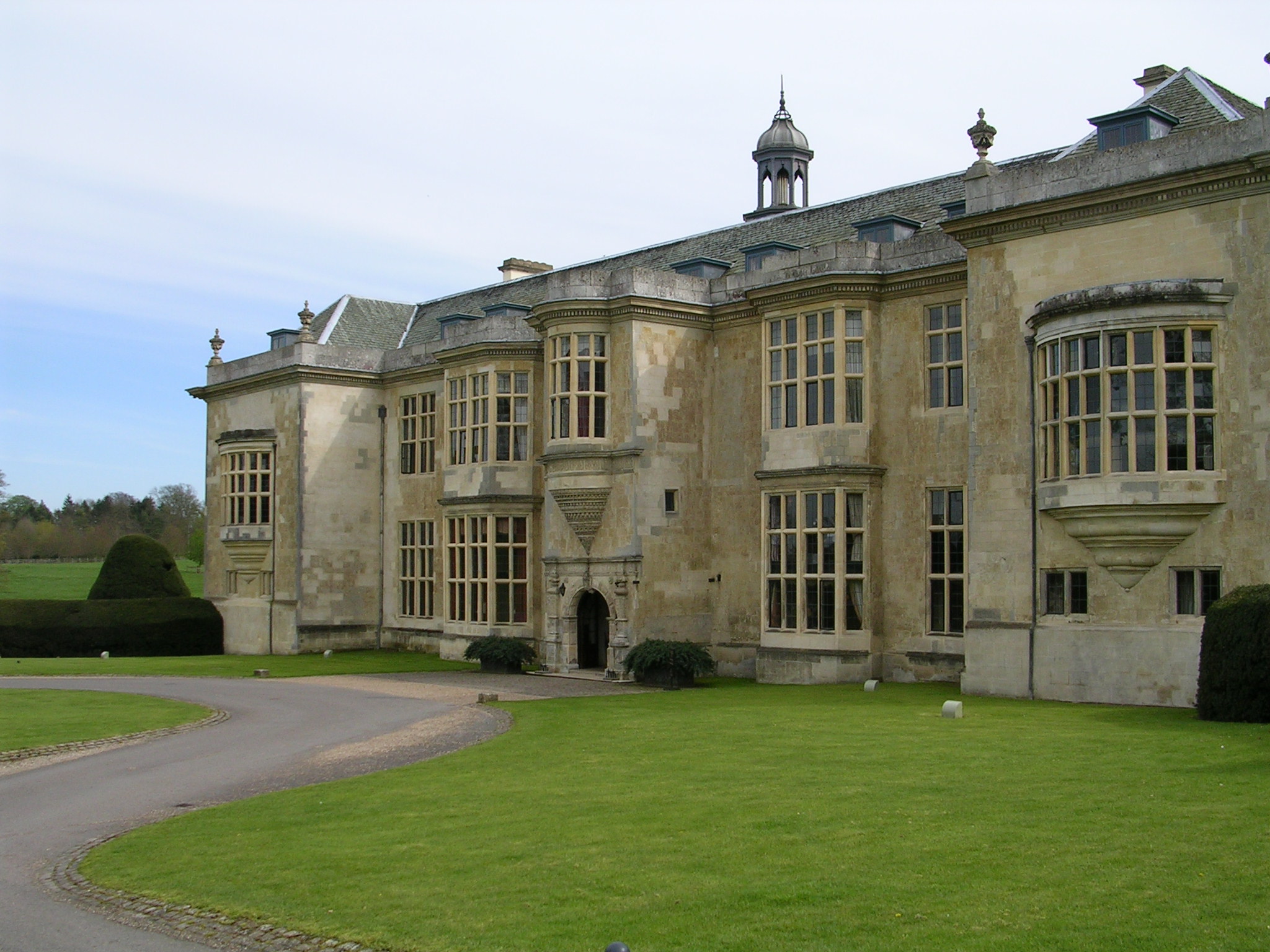
Hartwell House, Buckinghamshire
Hartwell House is a country house in the parish of Hartwell in Buckinghamshire, Southern England. The house is owned by the Ernest Cook Trust, has been...
Nearby Amenities
Located within 500m of 51.812521,-0.86980597Have you been to Arthur's Gorse?
Leave your review of Arthur's Gorse below (or comments, questions and feedback).